Projekt
Wspólnota
Aktualności
Moja aplikacja
Moje mapy
Katalogisierte Karte
Gordonsville
Wyświetlanie na zewnętrznej stronie internetowej
Einrichtung:
United States Geological Survey
Vollständiger Titel:
Gordonsville
Jahr der Abbildung:
1892
Veröffentlichungsdatum:
1949
Maßstab der Karte:
1:125 000
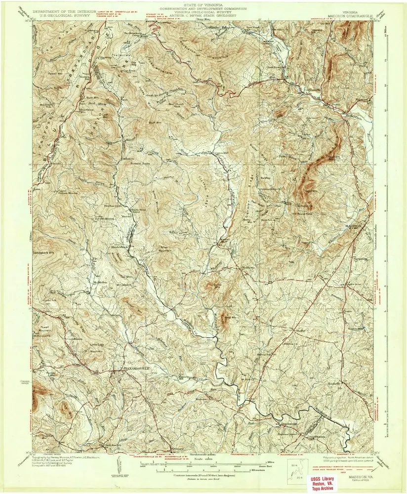
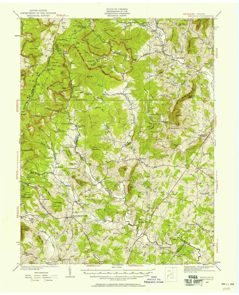
Madison
1933
1:63k
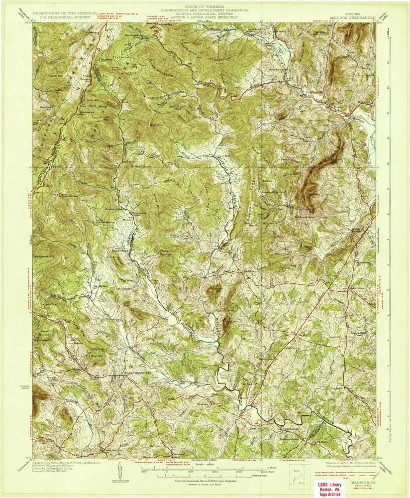
Madison
1933
1:63k
Madison
1933
1:63k
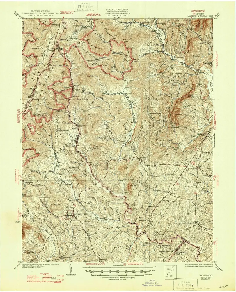
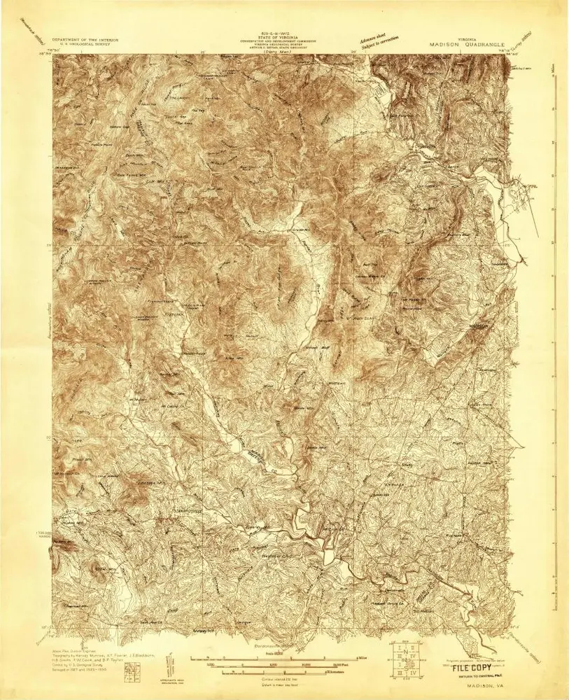
Madison
1930
1:63k
Madison
1930
1:63k
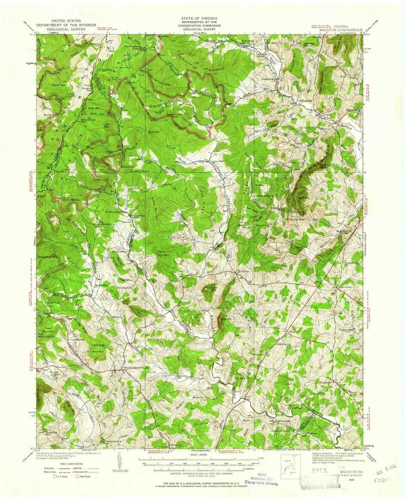
Madison
1930
1:48k
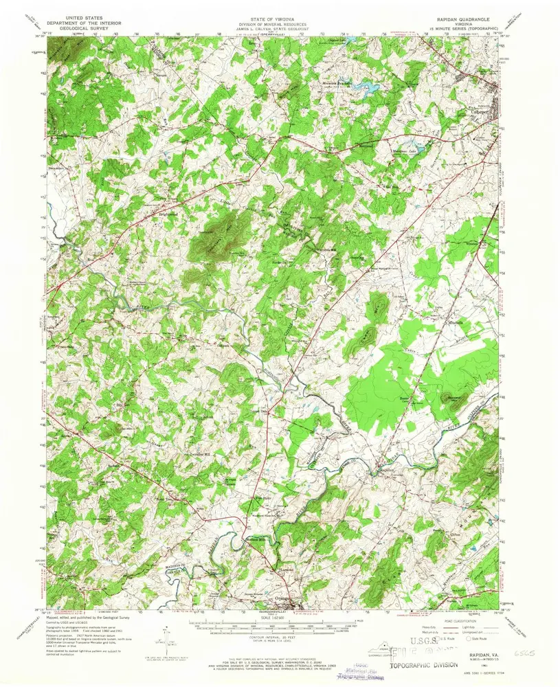
Rapidan
1961
1:63k
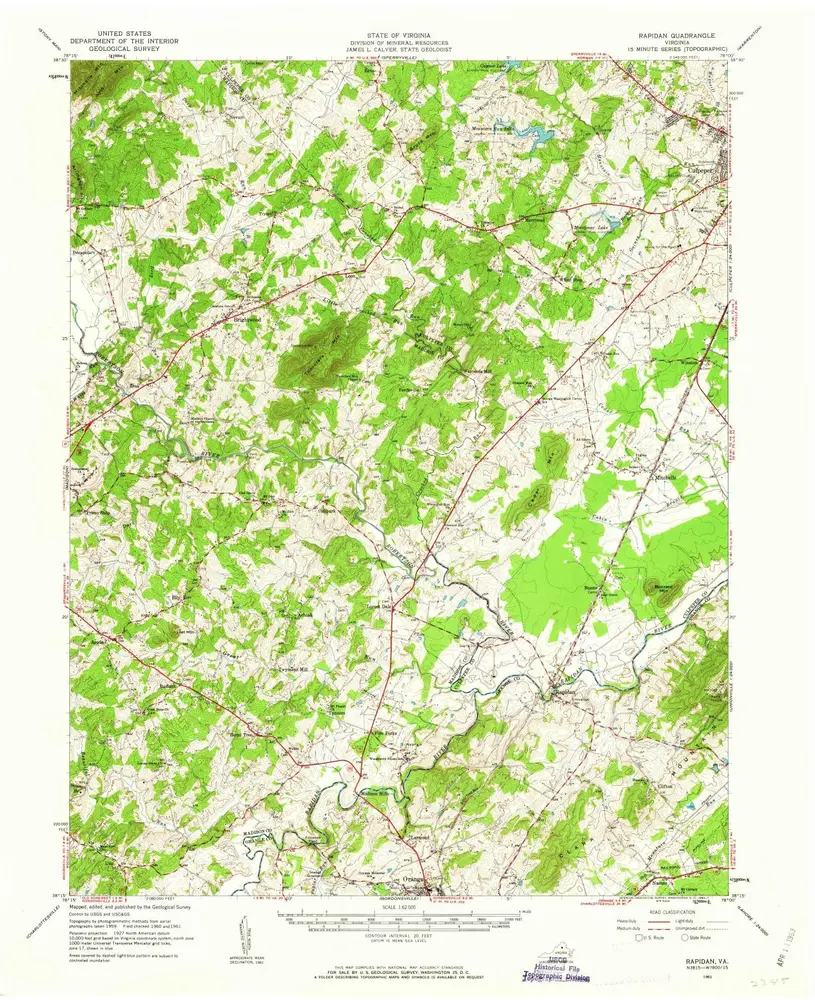
Rapidan
1961
1:63k
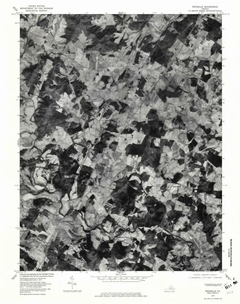
Rochelle
1977
1:24k
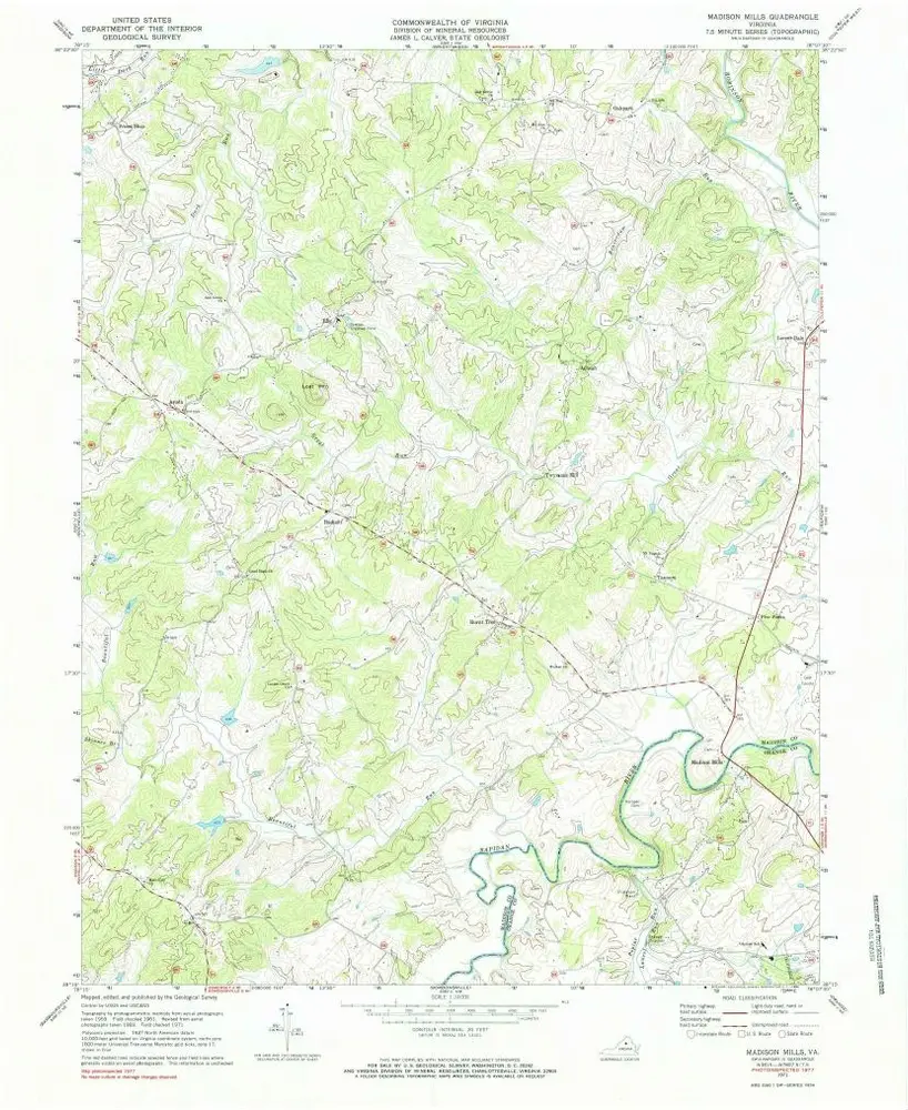
Madison Mills
1971
1:24k
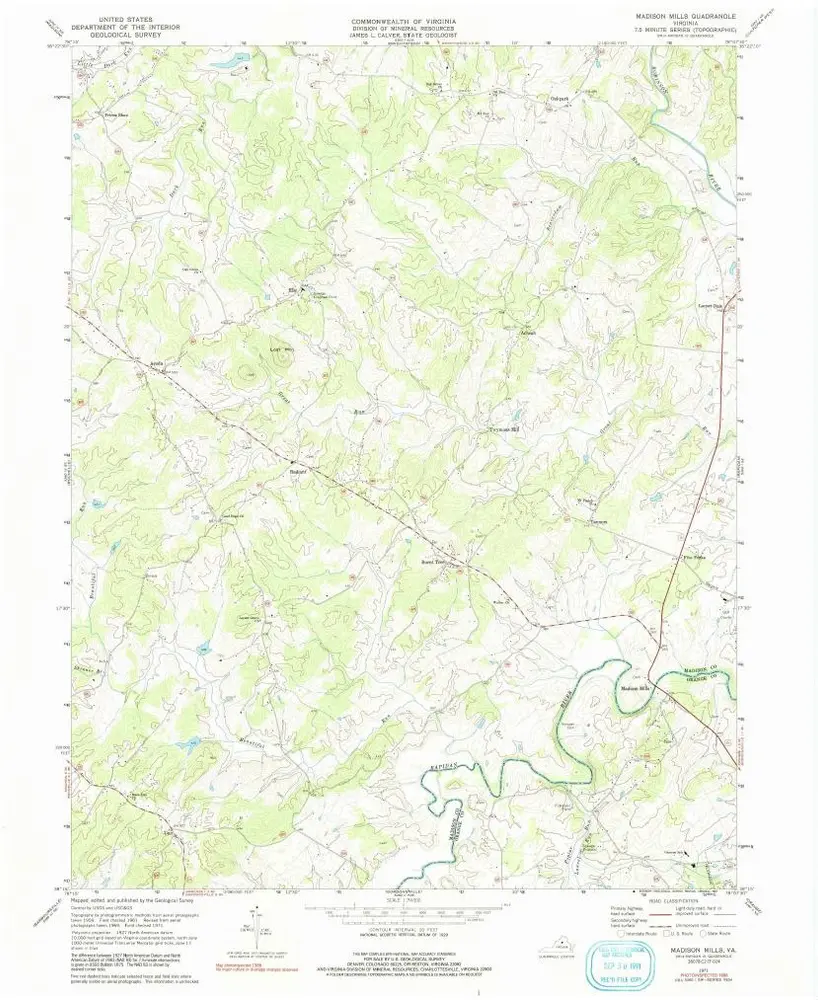
Madison Mills
1971
1:24k
Madison Mills
1971
1:24k
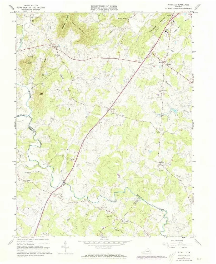
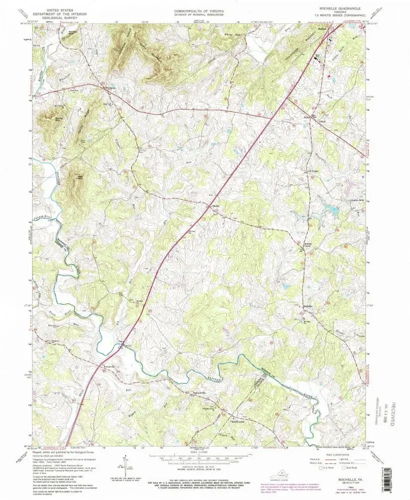
Rochelle
1964
1:24k
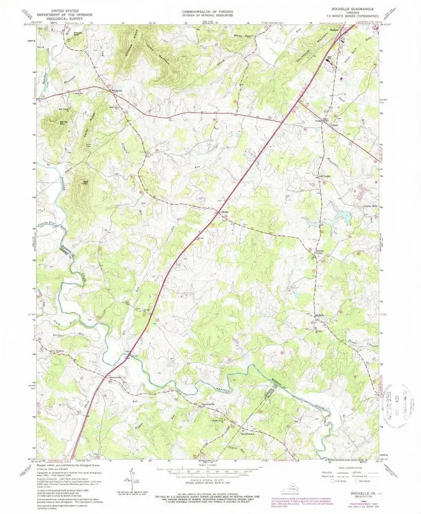
Rochelle
1964
1:24k
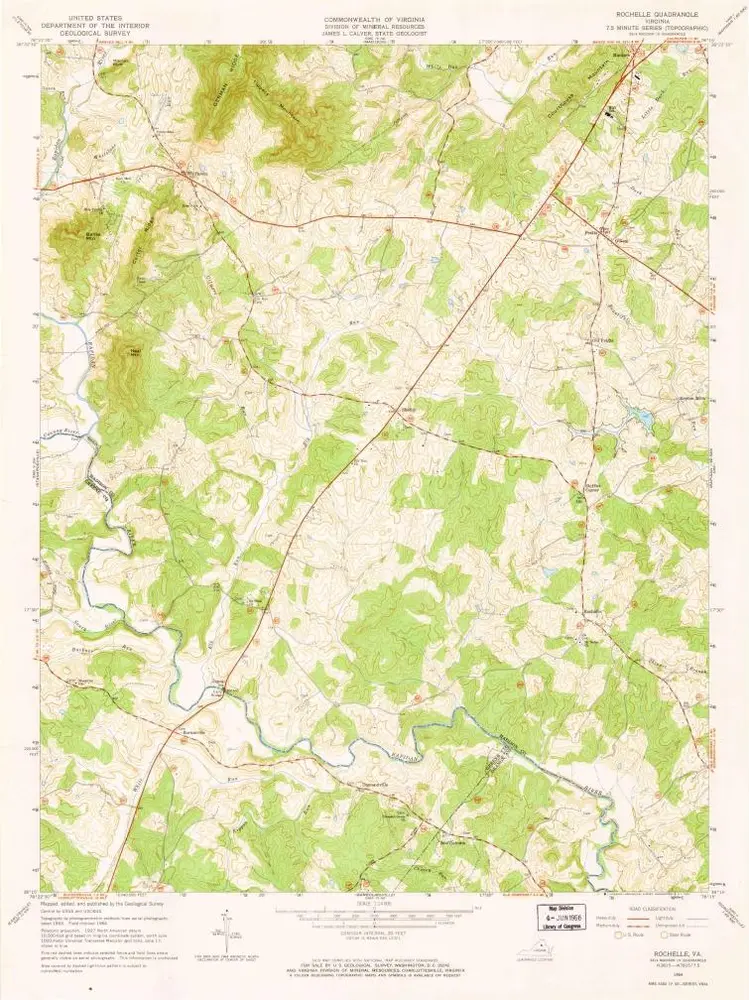
Rochelle
1964
1:24k
Rochelle
1964
1:24k
Geschichte