Projekt
Wspólnota
Aktualności
Moja aplikacja
Moje mapy
Skatalogowana mapa
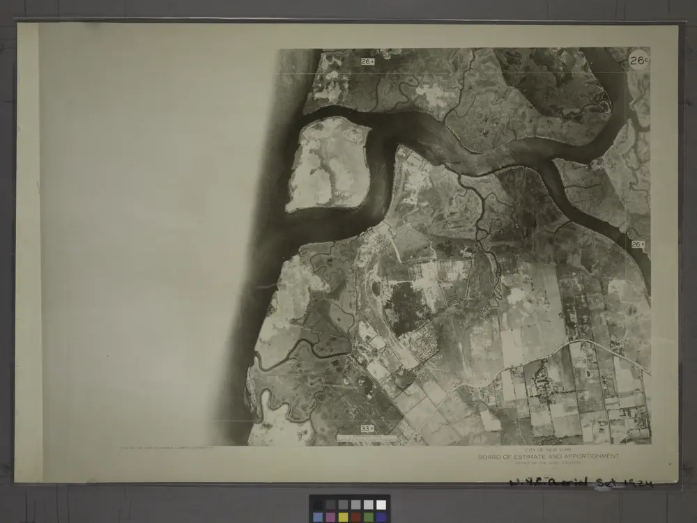
26C - N.Y. City (Aerial Set).
Wyświetlanie na zewnętrznej stronie internetowej
View digitized
Instytucja:
New York Public Library
Pełny tytuł:
26C - N.Y. City (Aerial Set).
Rok ilustracji:
1924
Katalog
New York Public Library
maps.nypl.org
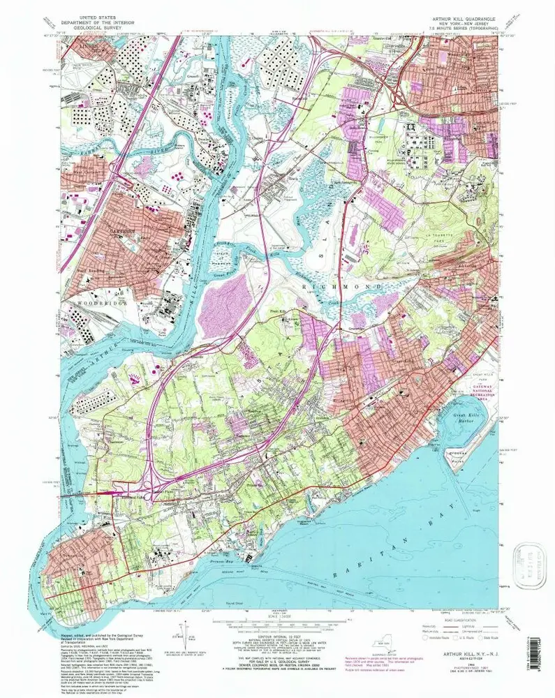
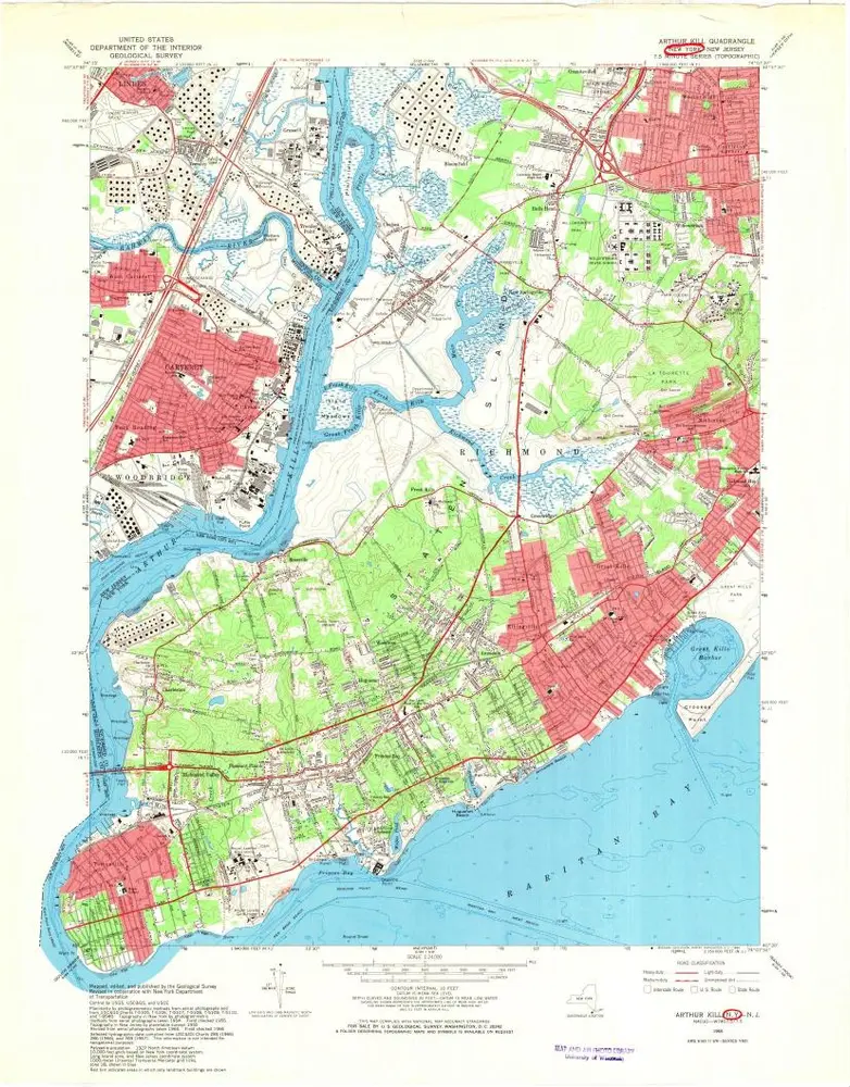
Arthur Kill
1966
1:24k
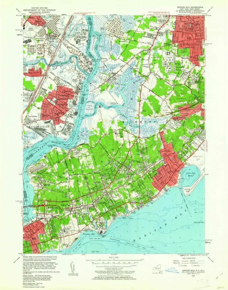
Arthur Kill
1966
1:24k
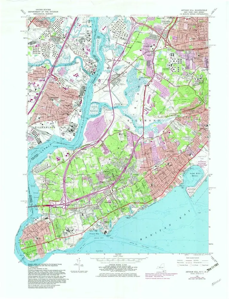
Arthur Kill
1966
1:24k
Arthur Kill
1966
1:24k
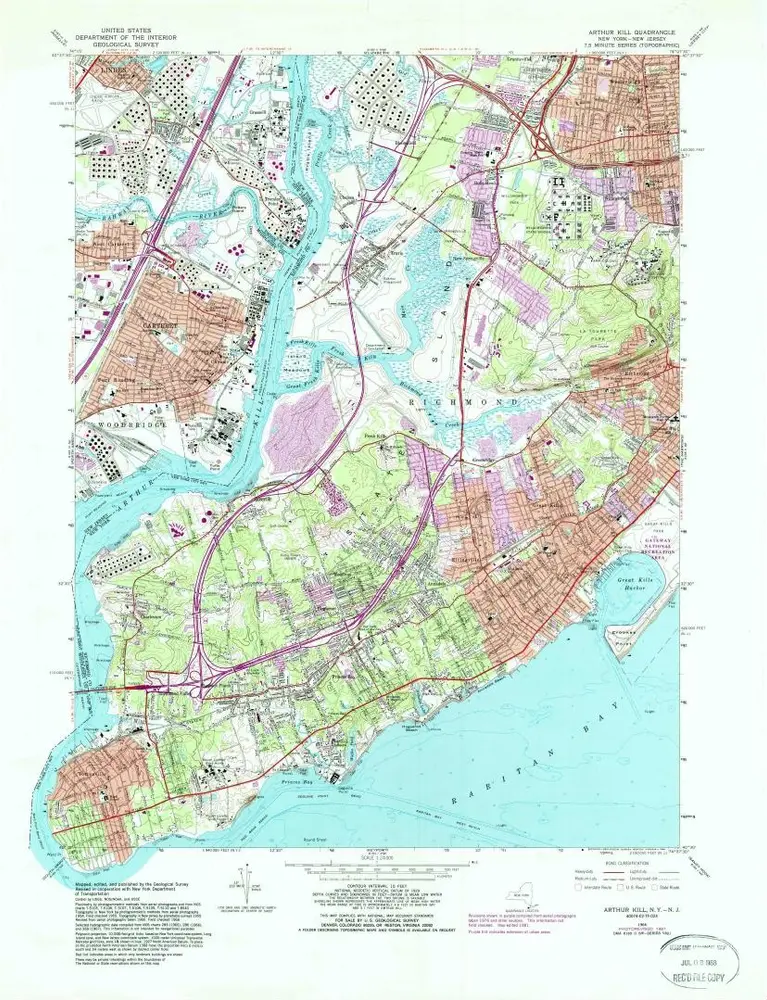
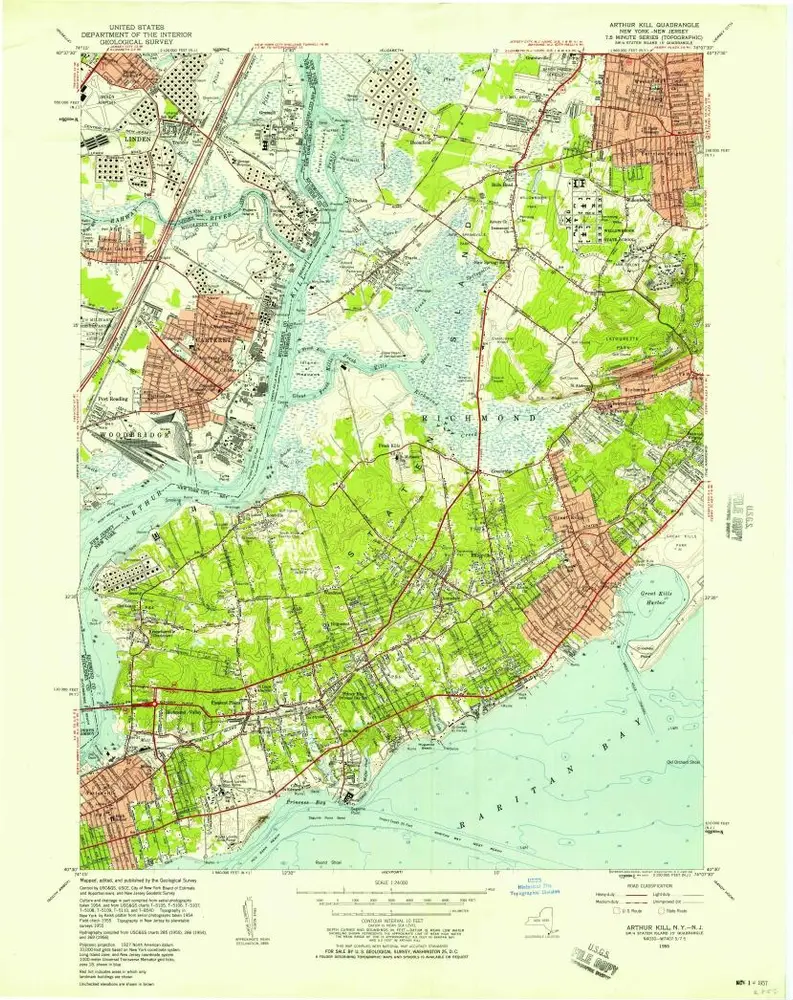
Arthur Kill
1955
1:24k
Arthur Kill
1955
1:24k
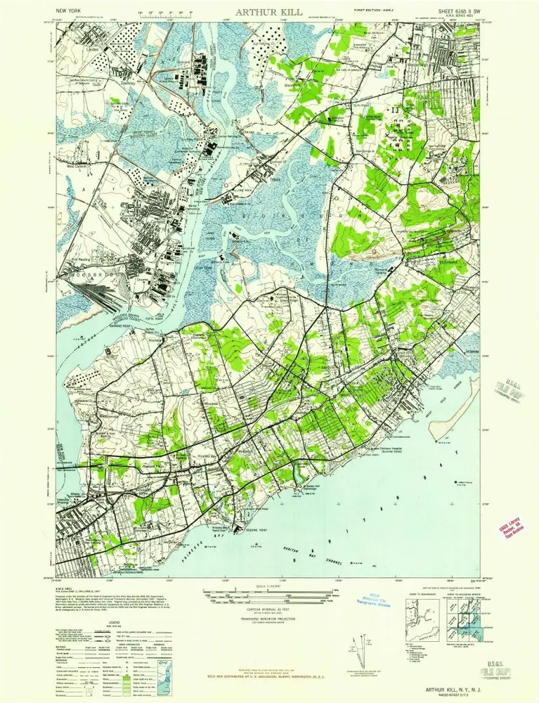
Arthur Kill
1947
1:24k
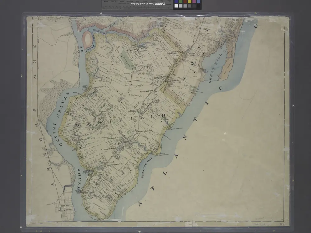
New map of Staten Island
1887
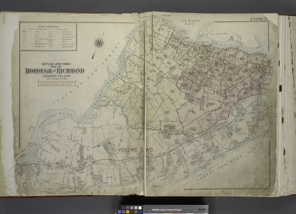
Outline & Index Map of The Borough of Richmond (Staten Island); Explanation; Note.
1917
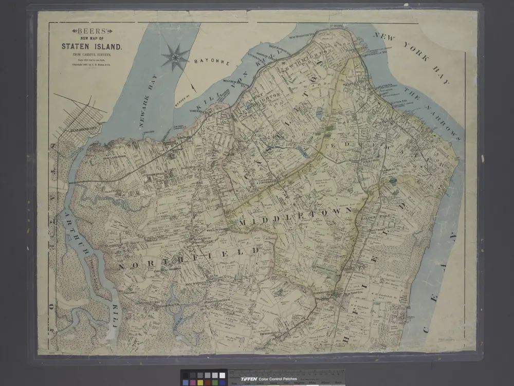
New map of Staten Island
1887
Historia