Projekt
Wspólnota
Aktualności
Moja aplikacja
Moje mapy
Katalogisierte Karte
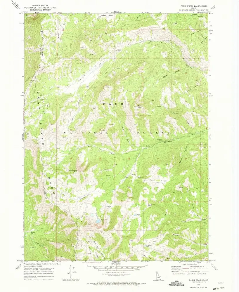
Paris Peak
Wyświetlanie na zewnętrznej stronie internetowej
Zobacz zdigitalizowane
Einrichtung:
United States Geological Survey
Vollständiger Titel:
Paris Peak
Jahr der Abbildung:
1969
Veröffentlichungsdatum:
1973
Maßstab der Karte:
1:24 000
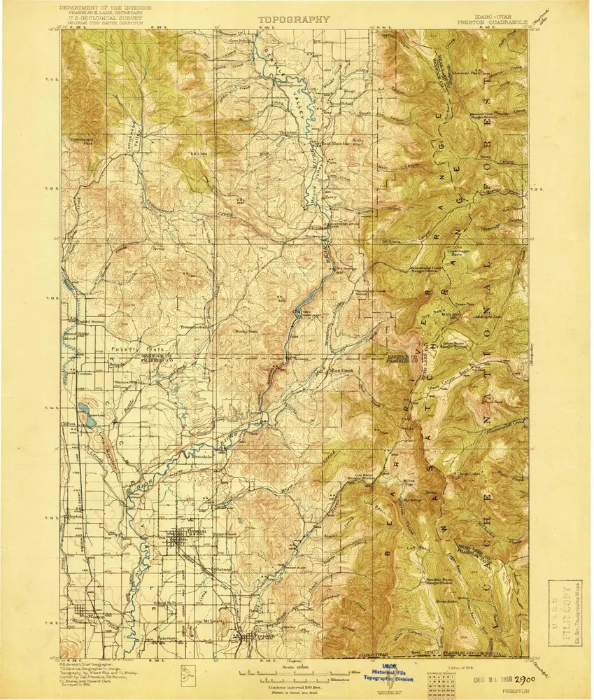
Preston
1918
1:125k
Preston
1918
1:125k
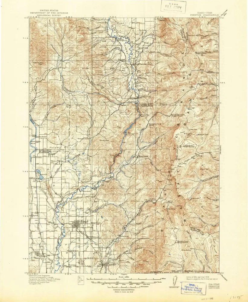
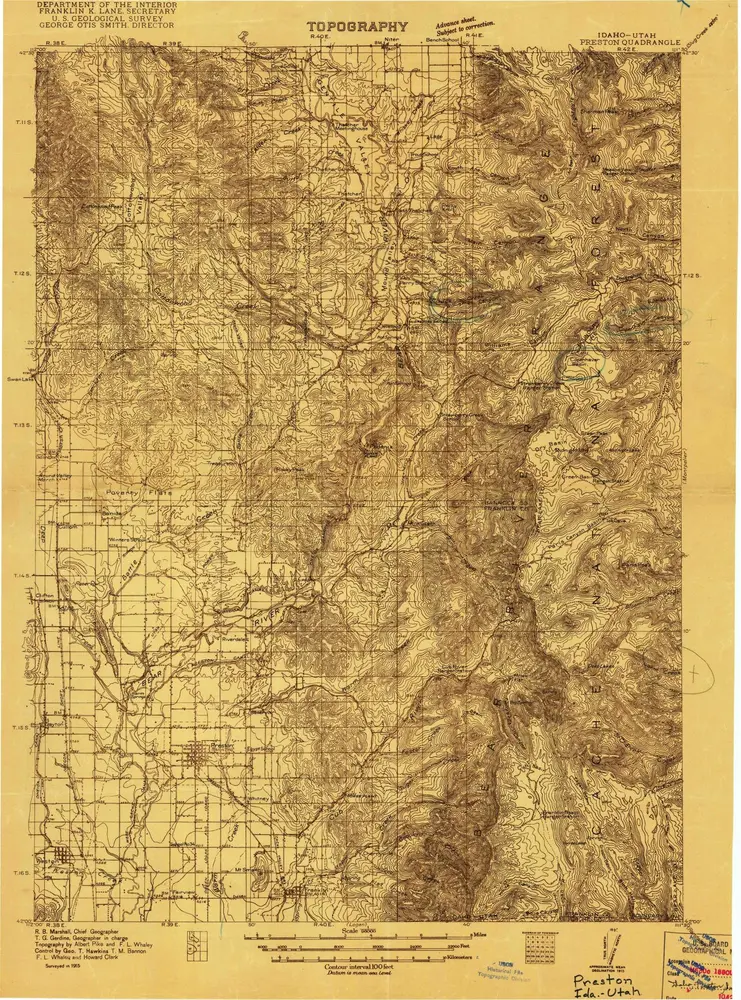
Preston
1915
1:125k
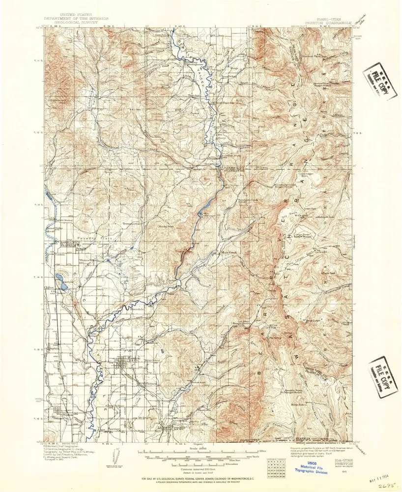
Preston
1915
1:96k
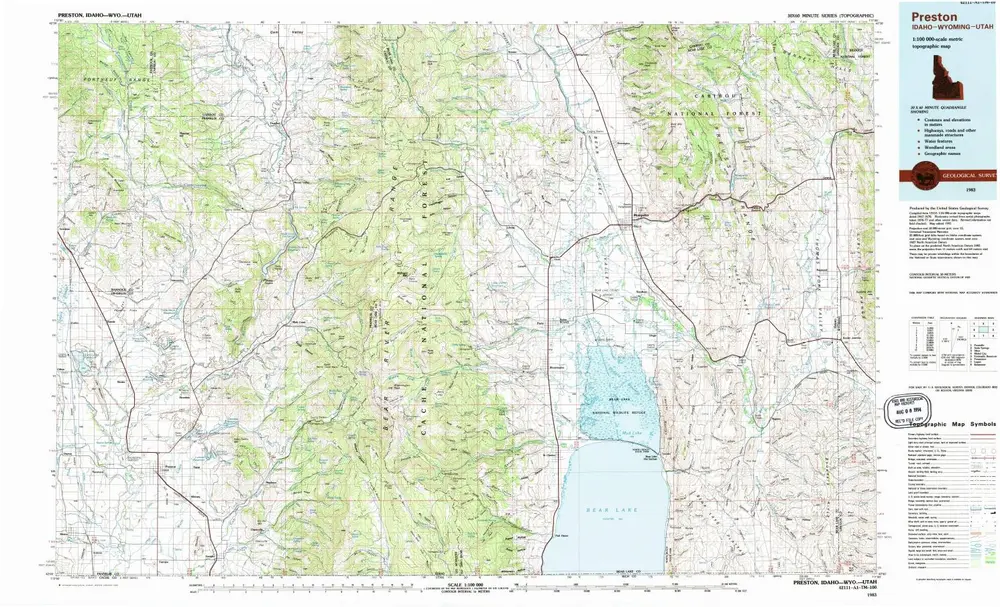
Preston
1983
1:100k
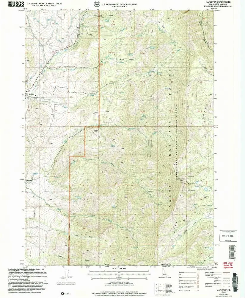
Mapleton
2005
1:24k
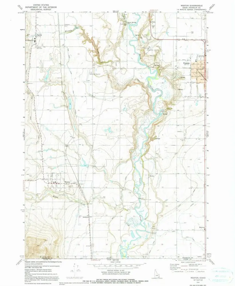
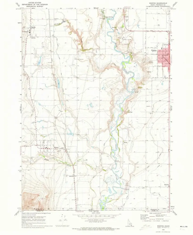
Weston
1969
1:24k
Weston
1969
1:24k
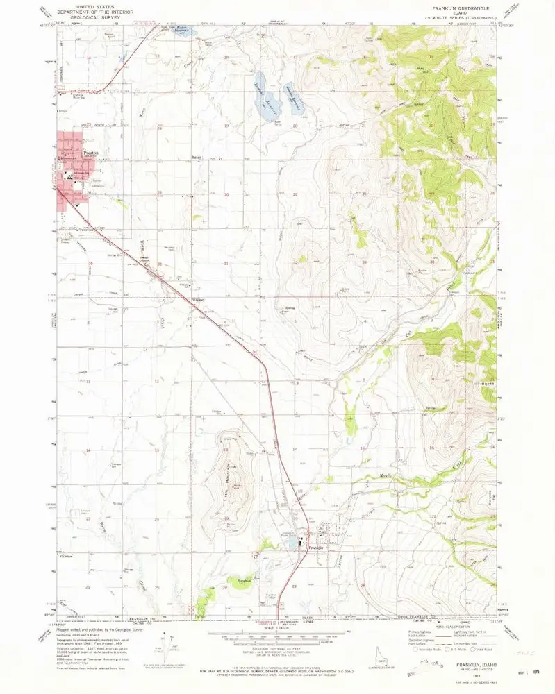
Franklin
1969
1:24k
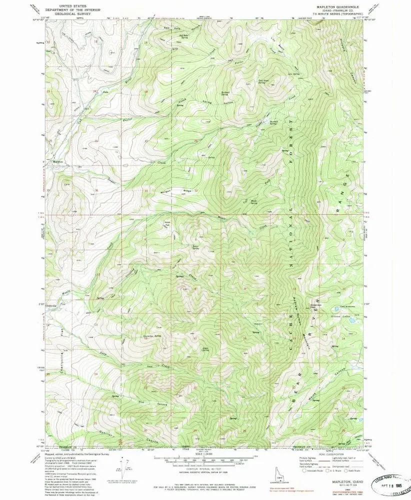
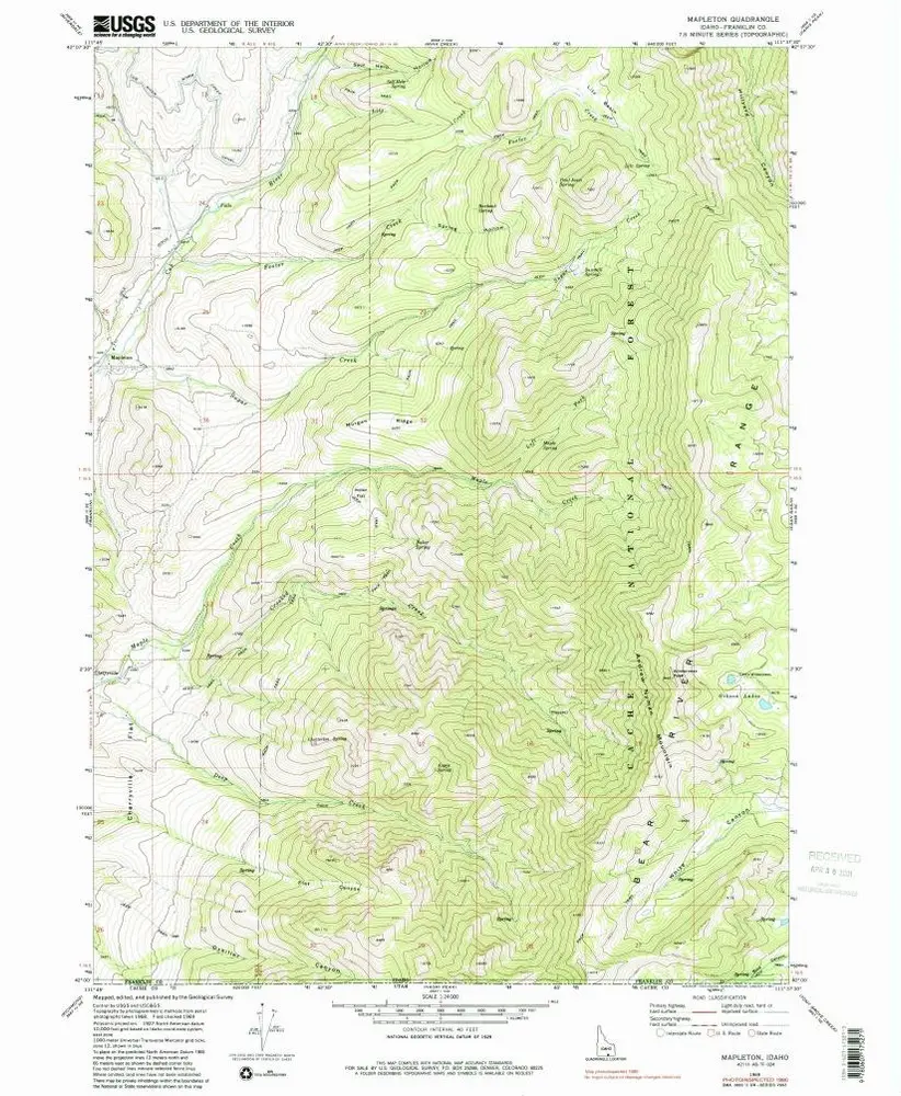
Mapleton
1969
1:24k
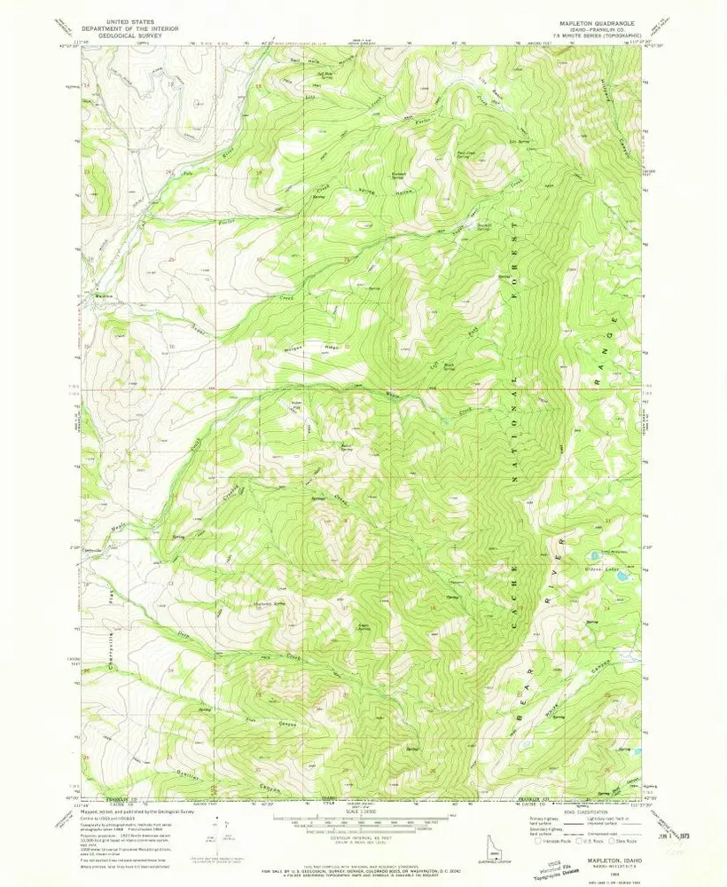
Mapleton
1969
1:24k
Mapleton
1969
1:24k
Geschichte