Projekt
Wspólnota
Aktualności
Moja aplikacja
Moje mapy
Katalogisierte Karte
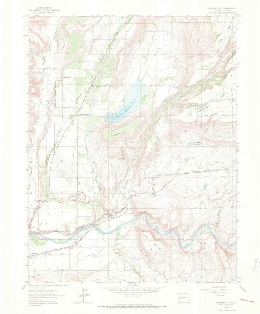
Orchard City
Wyświetlanie na zewnętrznej stronie internetowej
Zobacz zdigitalizowane
Einrichtung:
United States Geological Survey
Vollständiger Titel:
Orchard City
Jahr der Abbildung:
1962
Veröffentlichungsdatum:
1966
Maßstab der Karte:
1:24 000
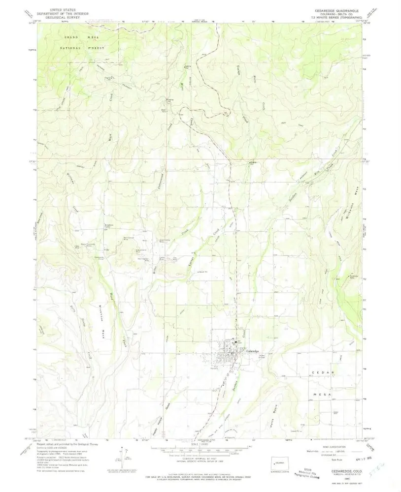
Cedaredge
1965
1:24k
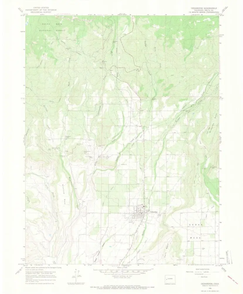
Cedaredge
1965
1:24k
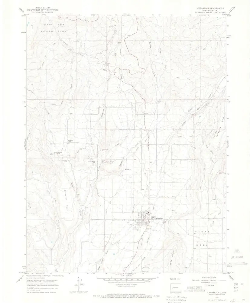
Cedaredge
1965
1:24k
Cedaredge
1965
1:24k
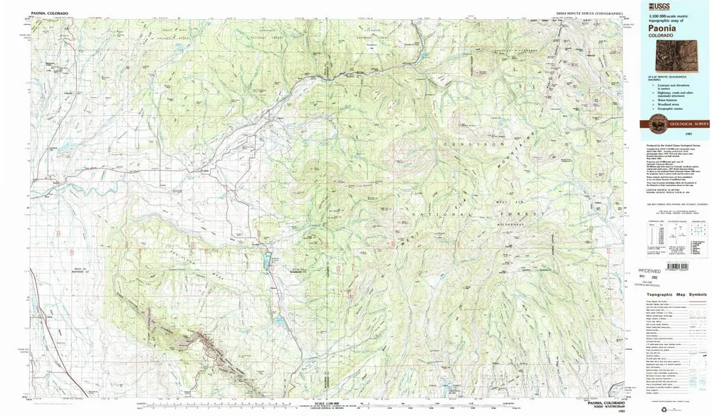
Paonia
1983
1:100k
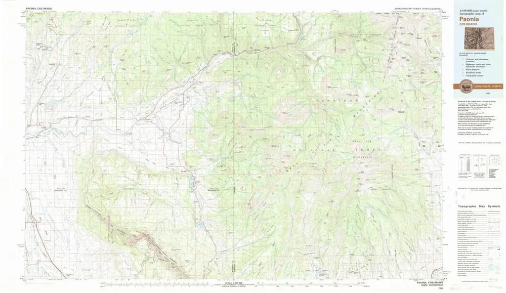
Paonia
1983
1:100k
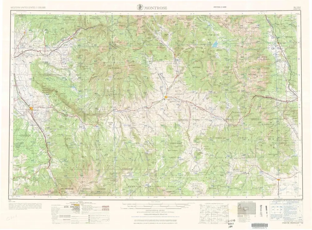
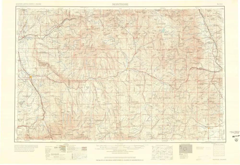
Montrose
1968
1:250k
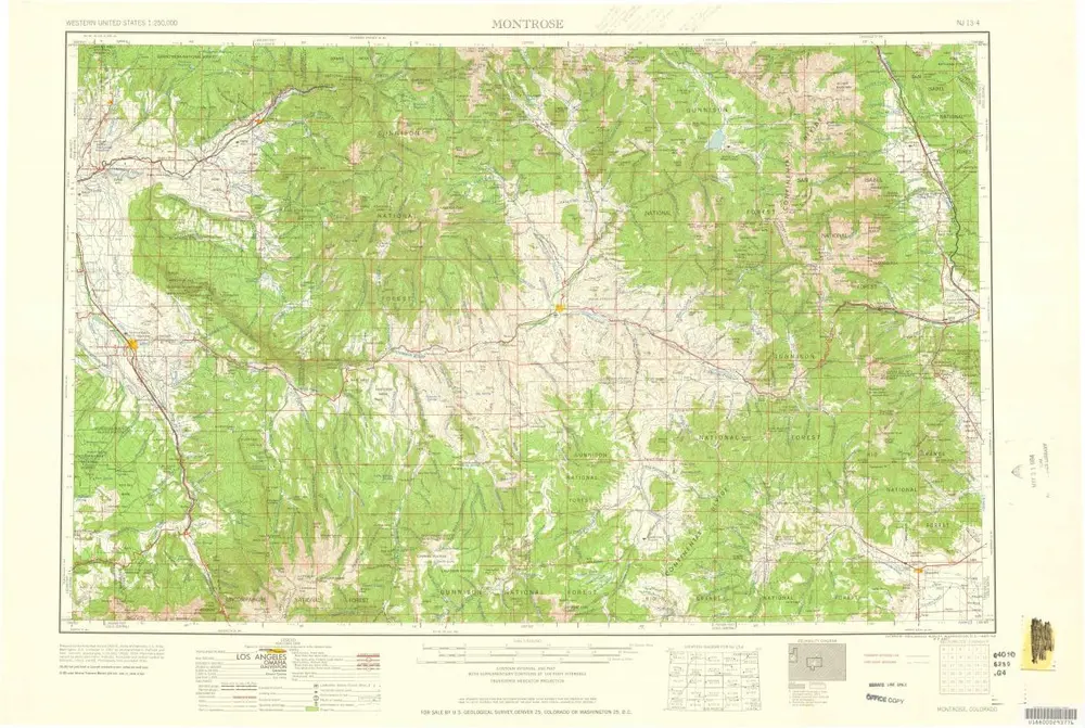
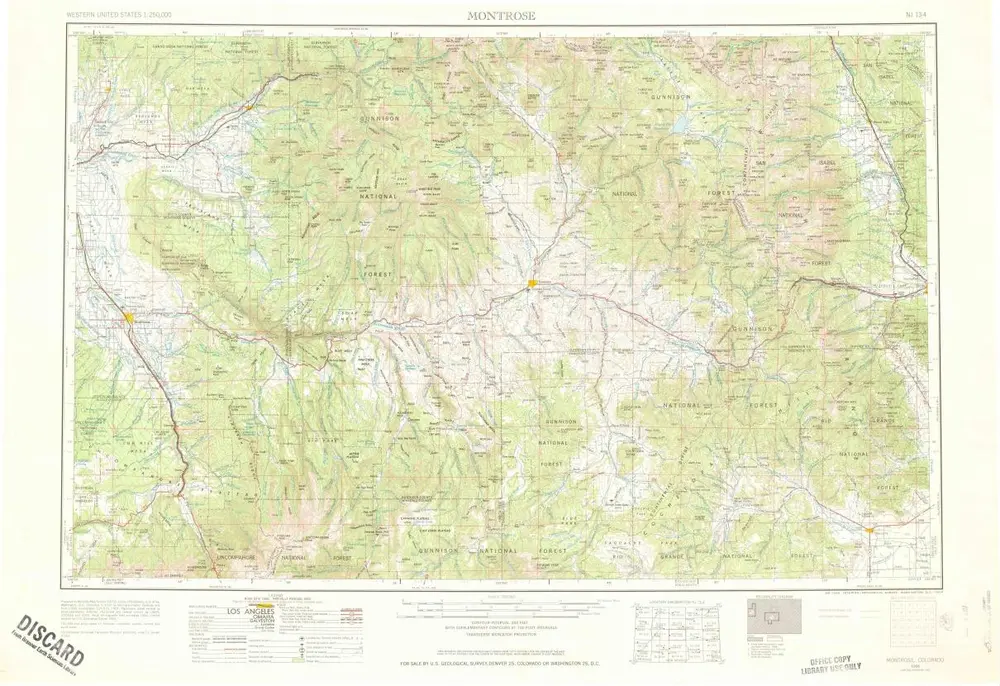
Montrose
1960
1:250k
Montrose
1960
1:250k
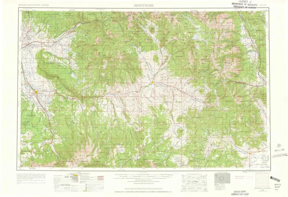
Montrose
1956
1:250k
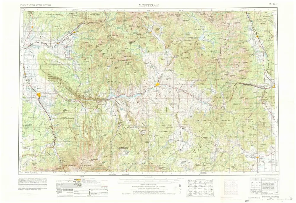
Montrose
1956
1:250k
Montrose
1956
1:250k
Geschichte