Projekt
Wspólnota
Aktualności
Moja aplikacja
Moje mapy
编目地图
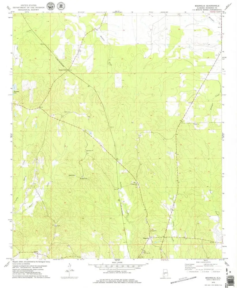
Magnolia
Wyświetlanie na zewnętrznej stronie internetowej
Zobacz zdigitalizowane
机构:
United States Geological Survey
完整标题:
Magnolia
描述:
1978
发布日期:
1979
地图比例尺:
1:24 000
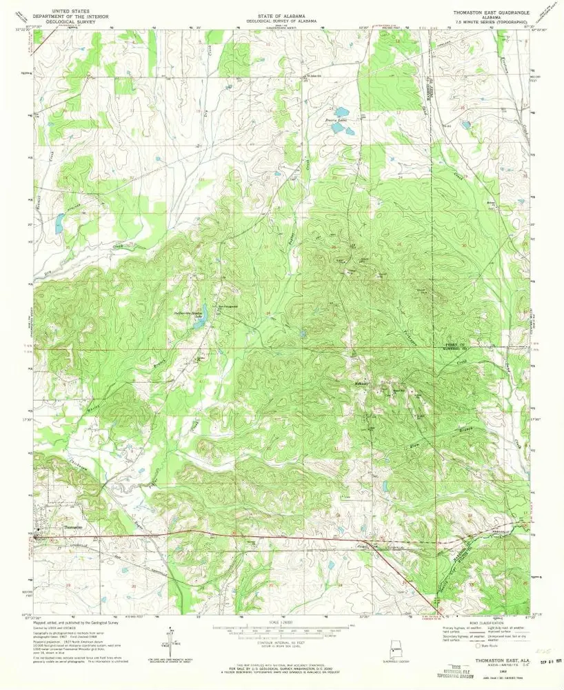
Thomaston East
1968
1:24k
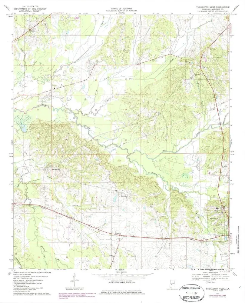
Thomaston West
1968
1:24k
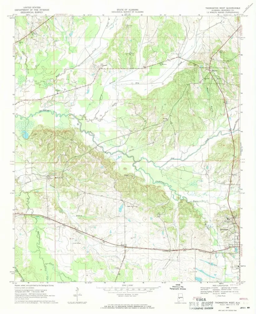
Thomaston West
1968
1:24k
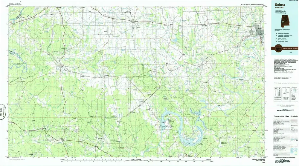
Selma
1986
1:100k
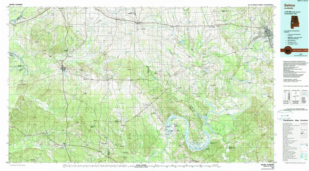
Selma
1986
1:100k
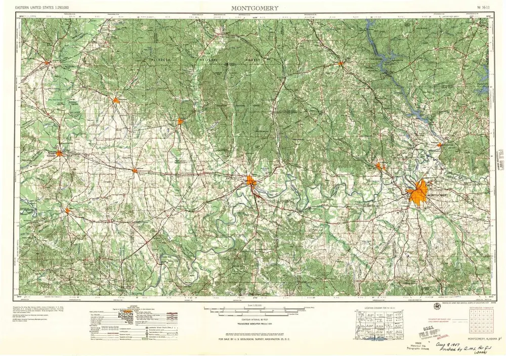
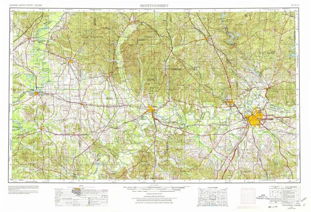
Montgomery
1957
1:250k
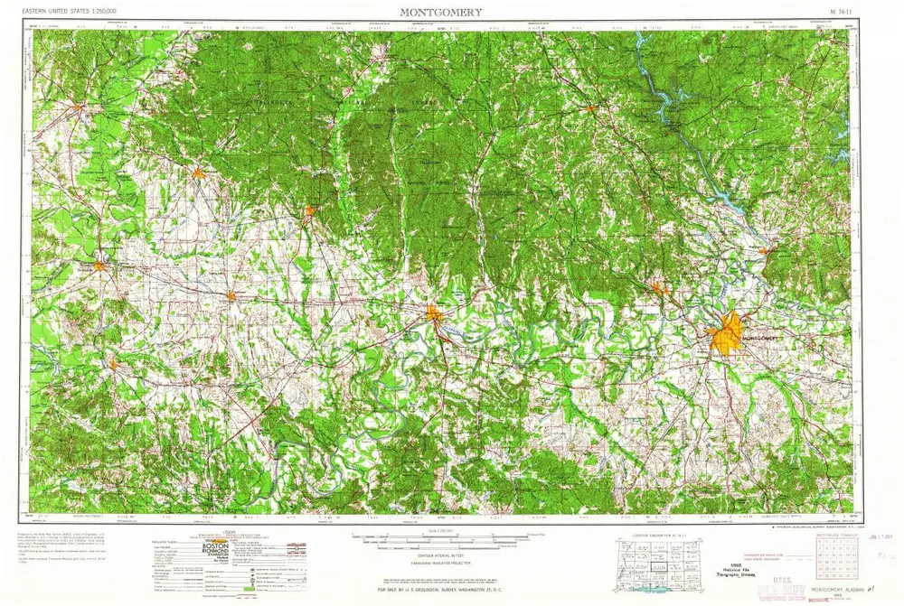
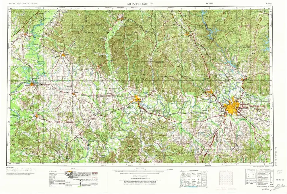
Montgomery
1953
1:250k
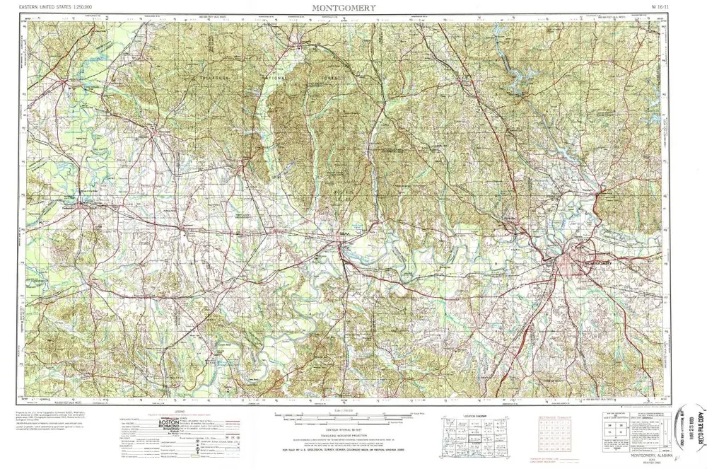
Montgomery
1953
1:250k
Montgomery
1953
1:250k
Montgomery
1953
1:250k
历史