Carte cataloguée
Lincoln
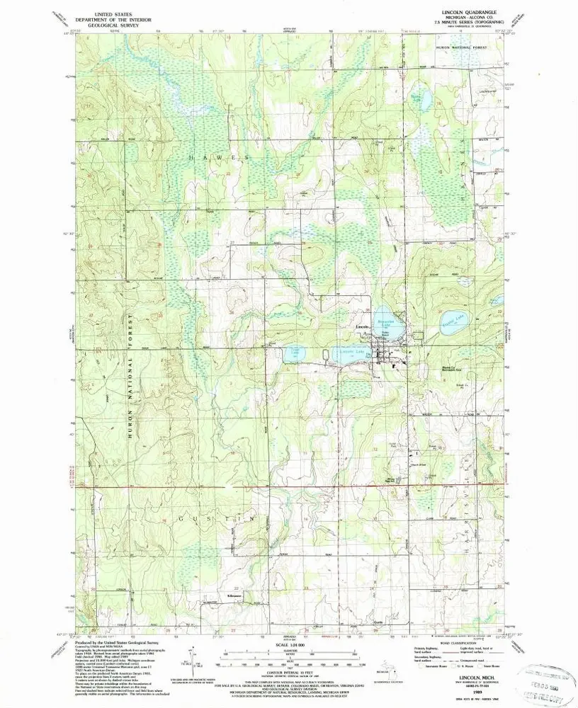

Institution:United States Geological Survey
Titre complet:Lincoln
Année de l'image:1989
Date de publication:1989
Échelle de la carte:1:24 000
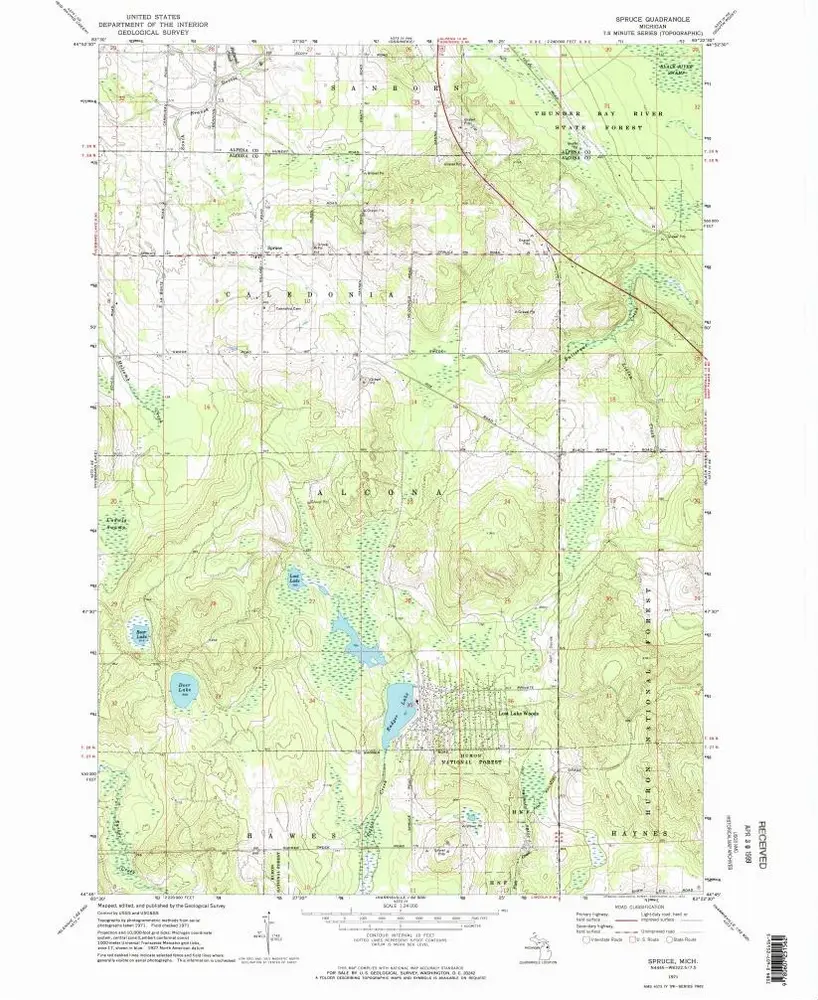
Spruce
1971
1:24k
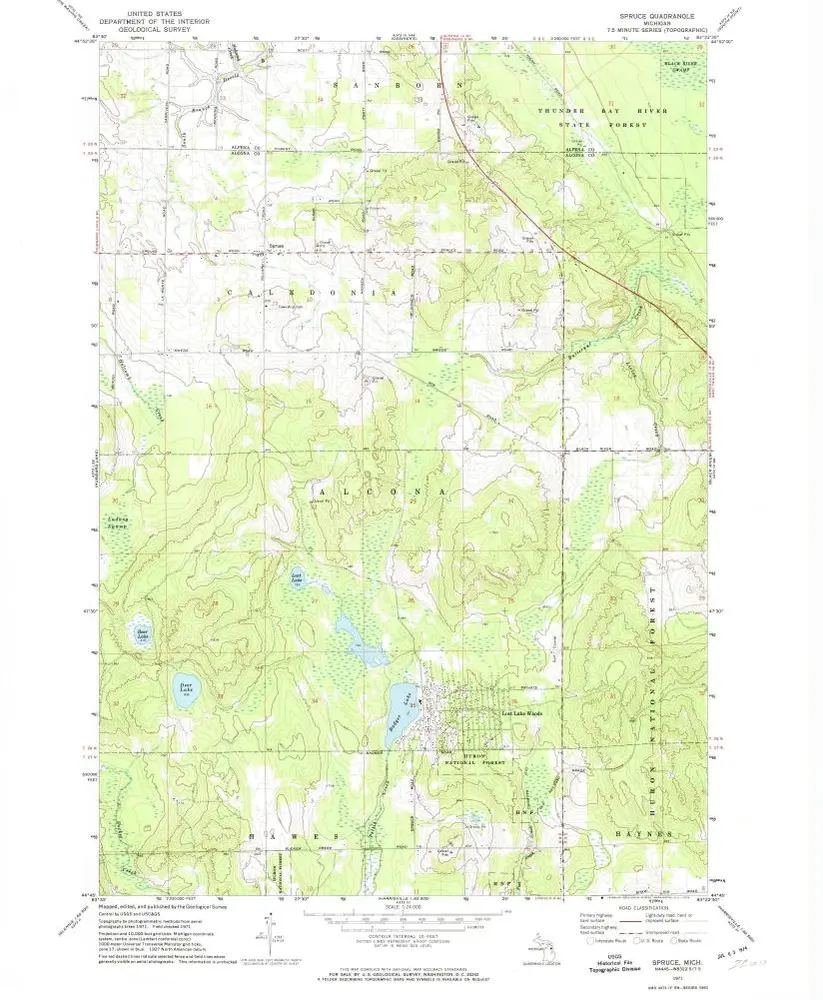
Spruce
1971
1:24k
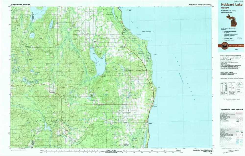
Hubbard Lake
1983
1:100k
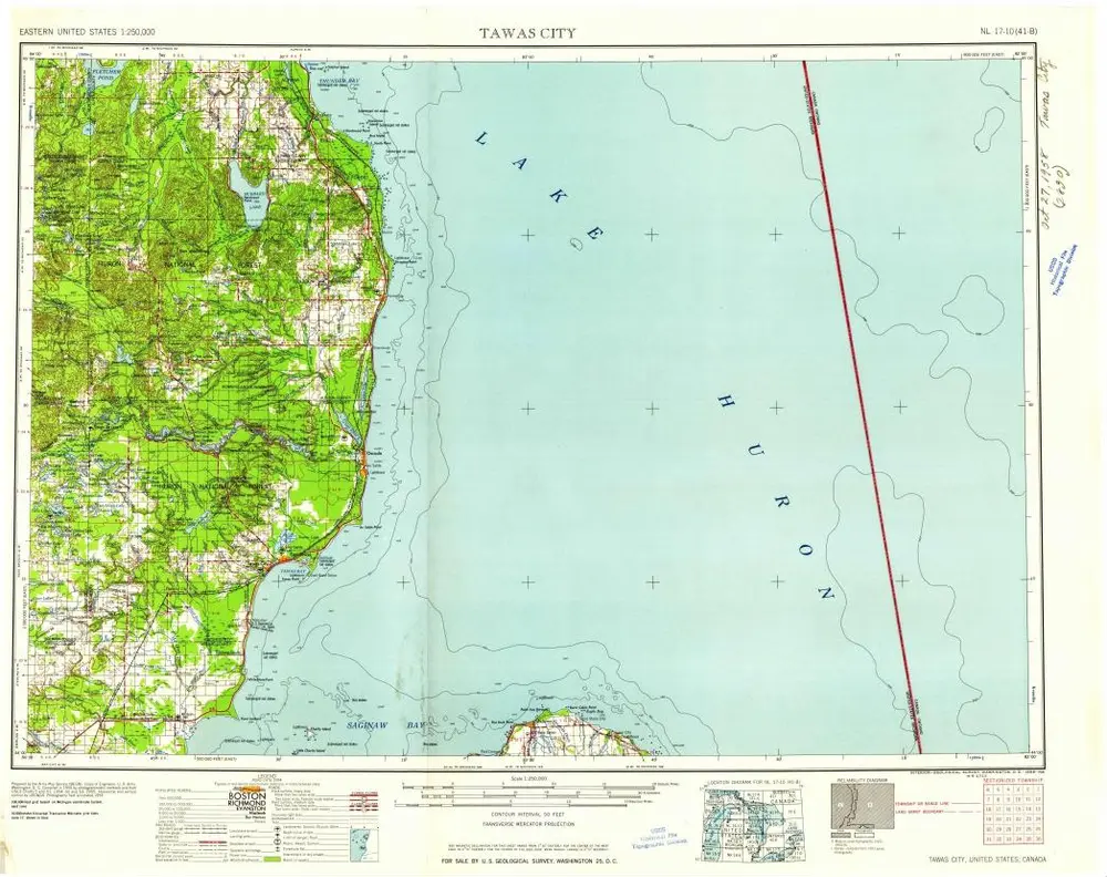
Tawas City
1958
1:250k
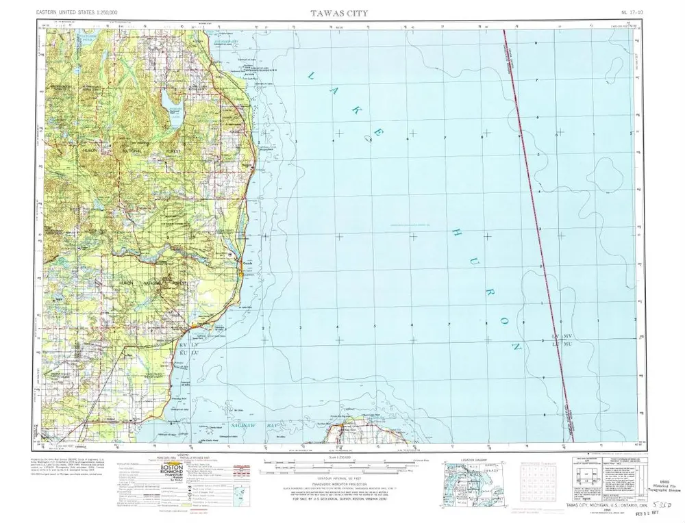
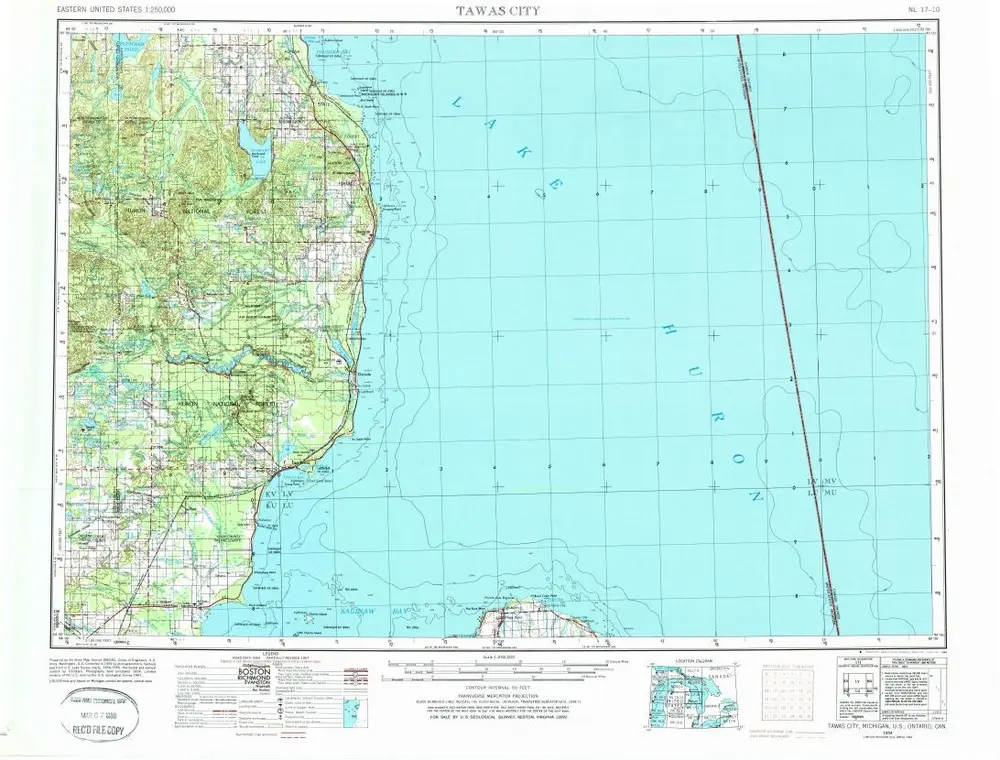
Tawas City
1954
1:250k
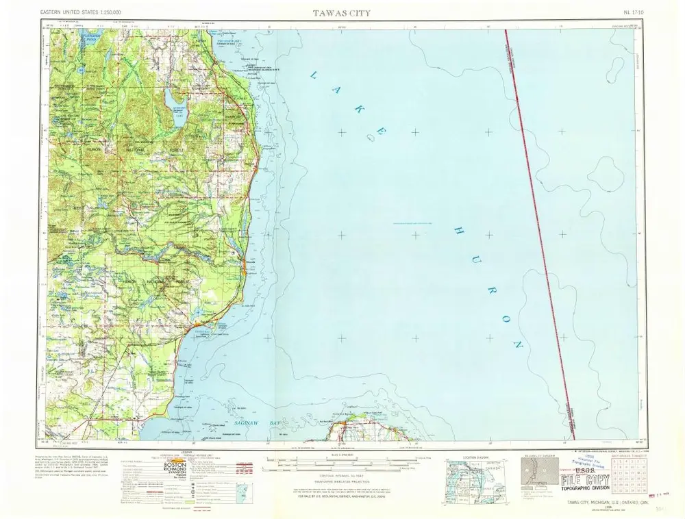
Tawas City
1954
1:250k
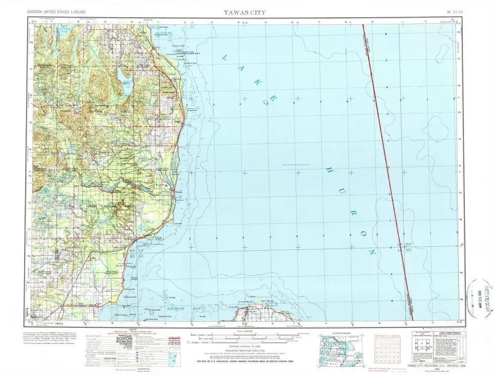
Tawas City
1954
1:250k
Tawas City
1954
1:250k
Map of the state of Michigan and the surrounding country : exhibiting the sections and the latest surveys
1851
Farmer, John
1:780k
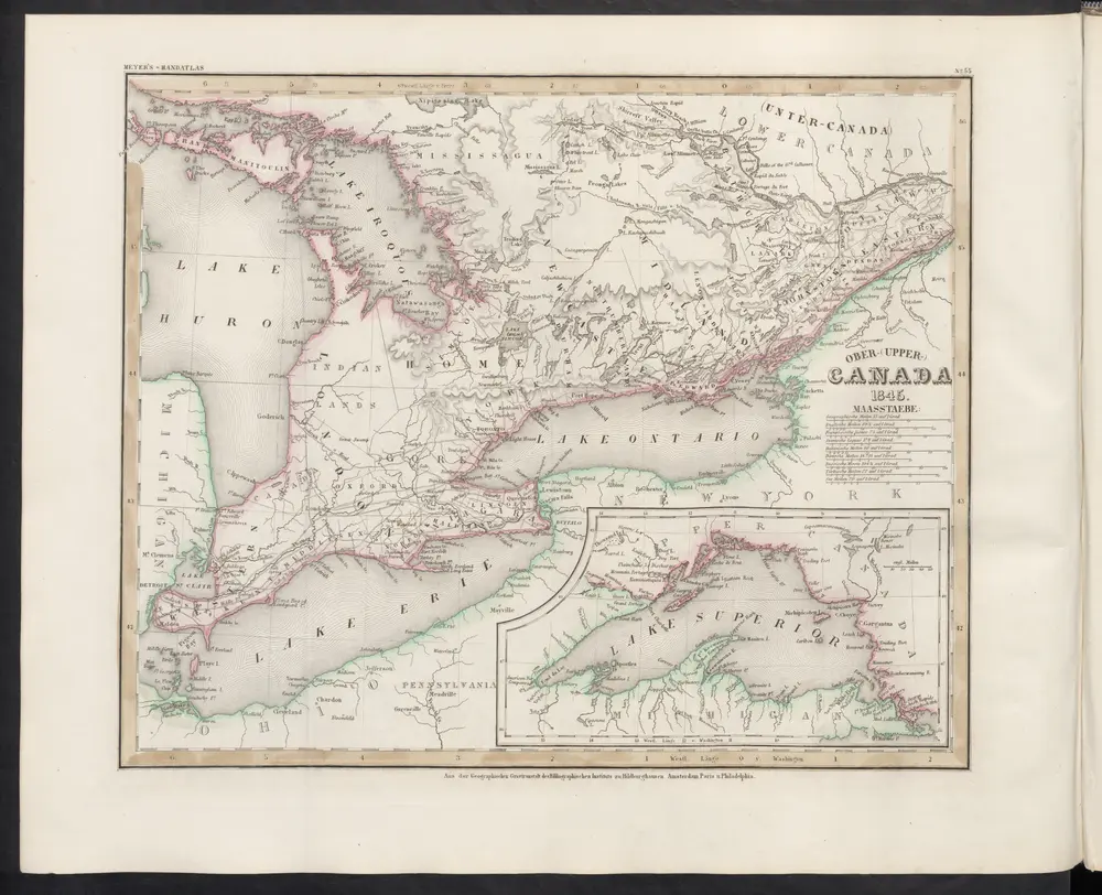
[Ober-Canada]
1860
Meyer, J.