Projekt
Wspólnota
Aktualności
Moja aplikacja
Moje mapy
Katalogisierte Karte
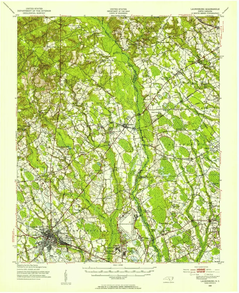
Laurinburg
Wyświetlanie na zewnętrznej stronie internetowej
Zobacz zdigitalizowane
Einrichtung:
United States Geological Survey
Vollständiger Titel:
Laurinburg
Jahr der Abbildung:
1949
Veröffentlichungsdatum:
1954
Maßstab der Karte:
1:62 500
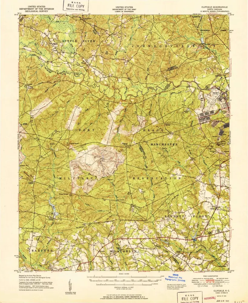
Clifdale
1951
1:63k
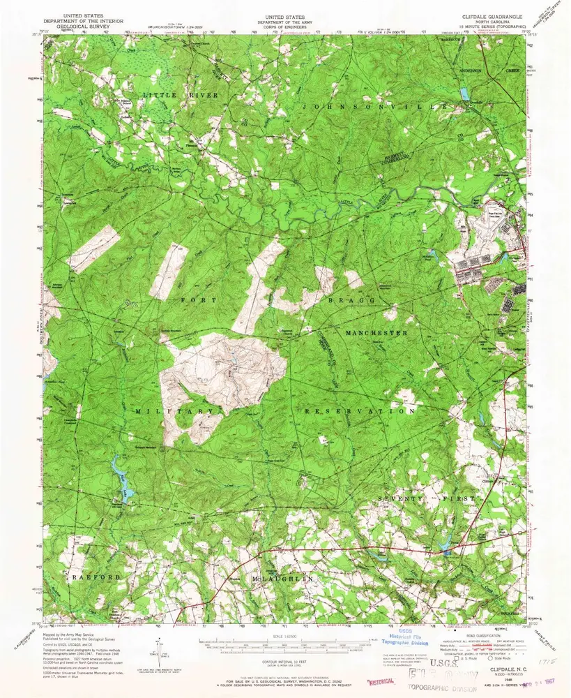
Clifdale
1948
1:63k
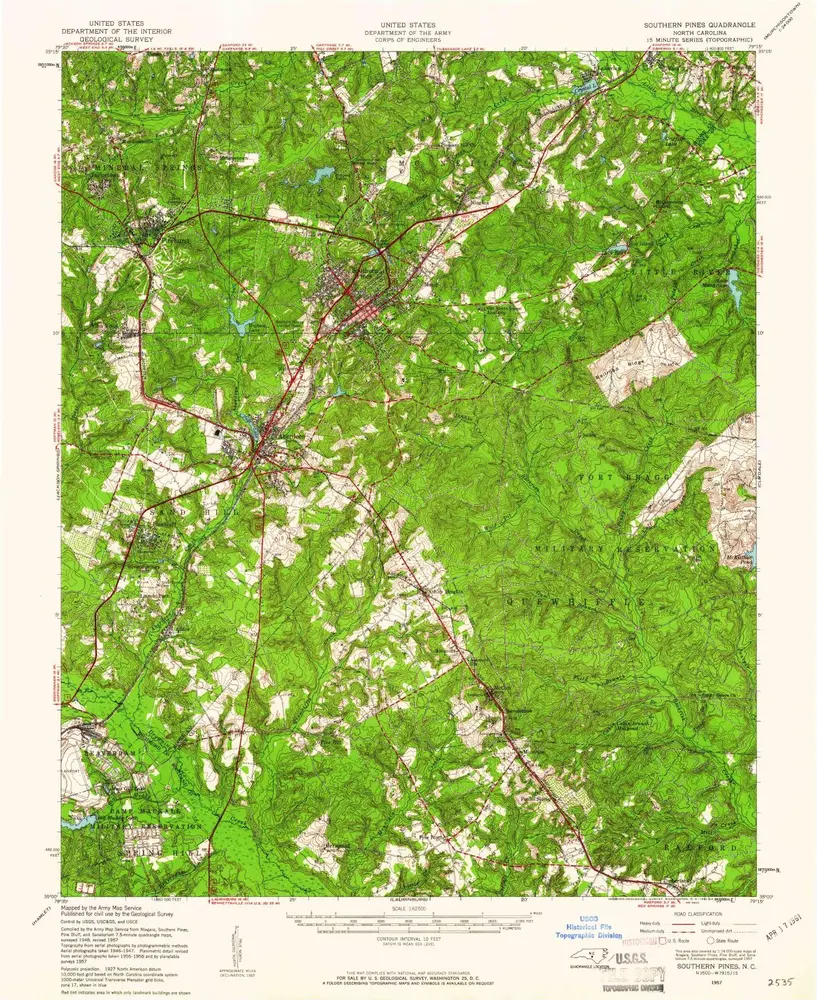
Southern Pines
1957
1:63k
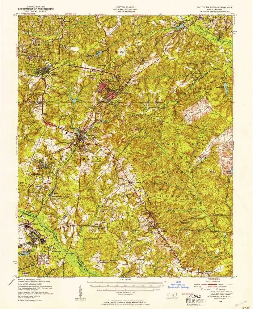
Southern Pines
1948
1:63k
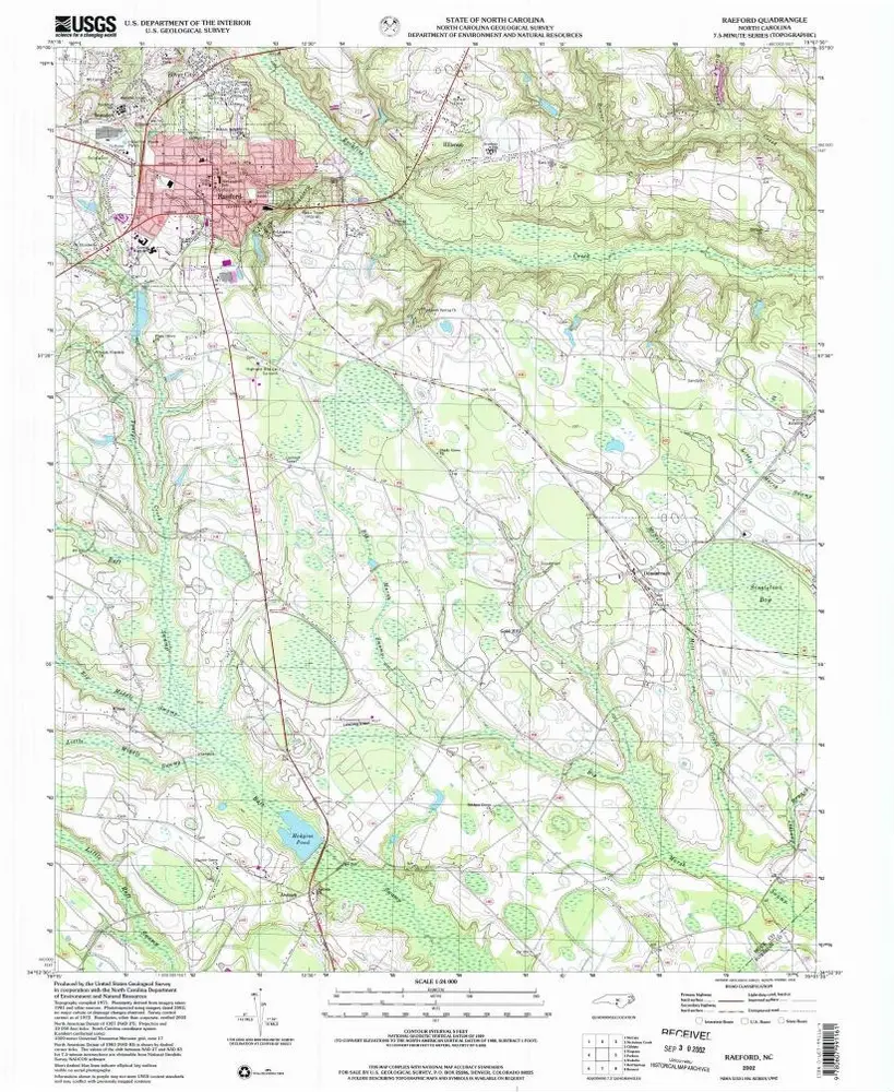
Raeford
2002
1:24k
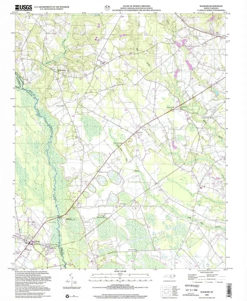
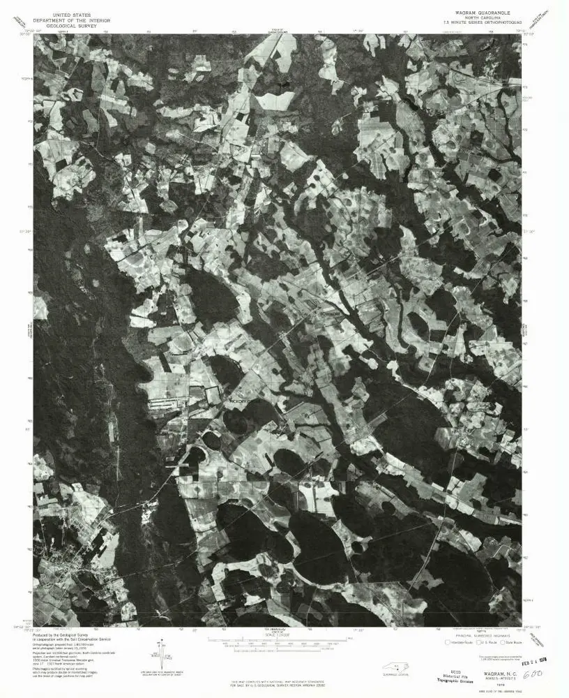
Wagram
2002
1:24k
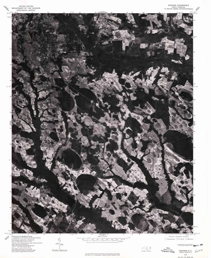
Raeford
1976
1:24k
Wagram
1976
1:24k
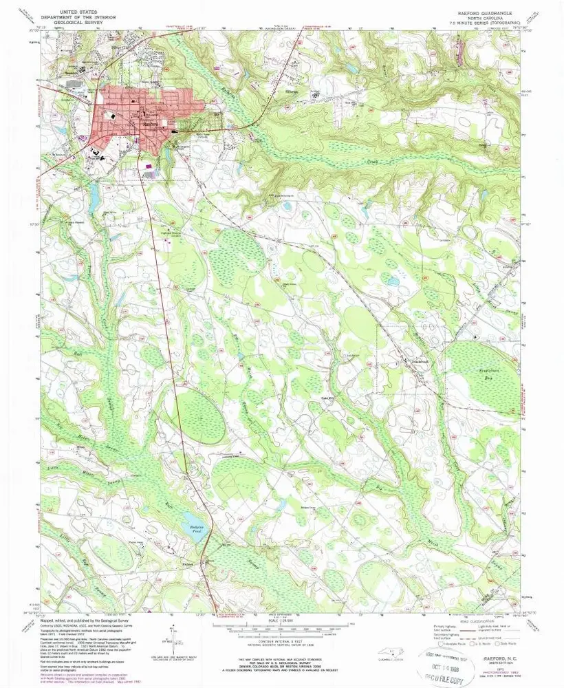
Raeford
1972
1:24k
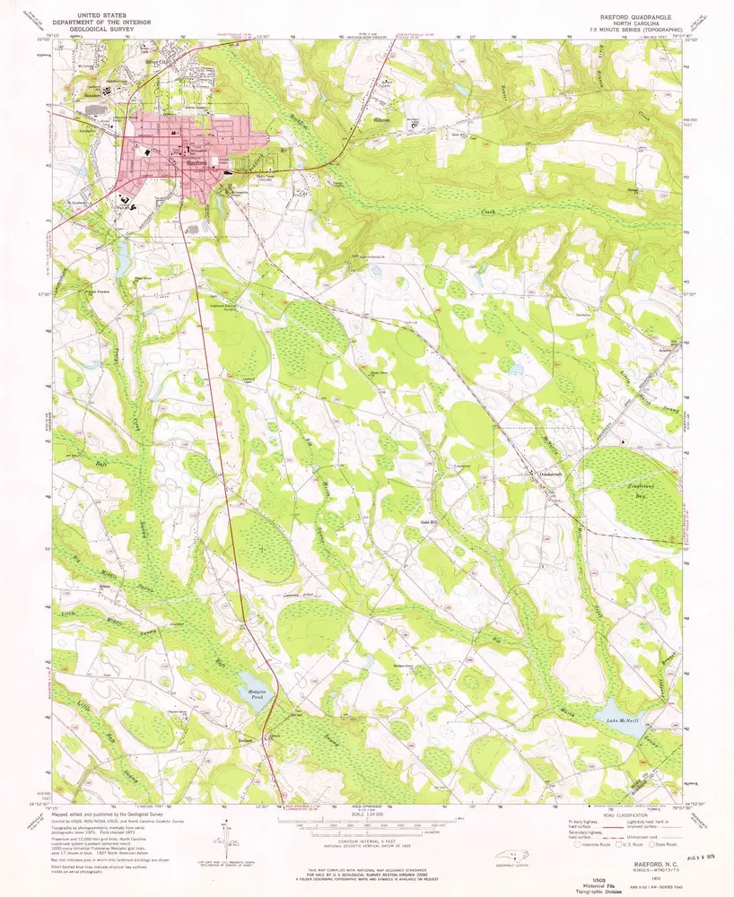
Raeford
1972
1:24k
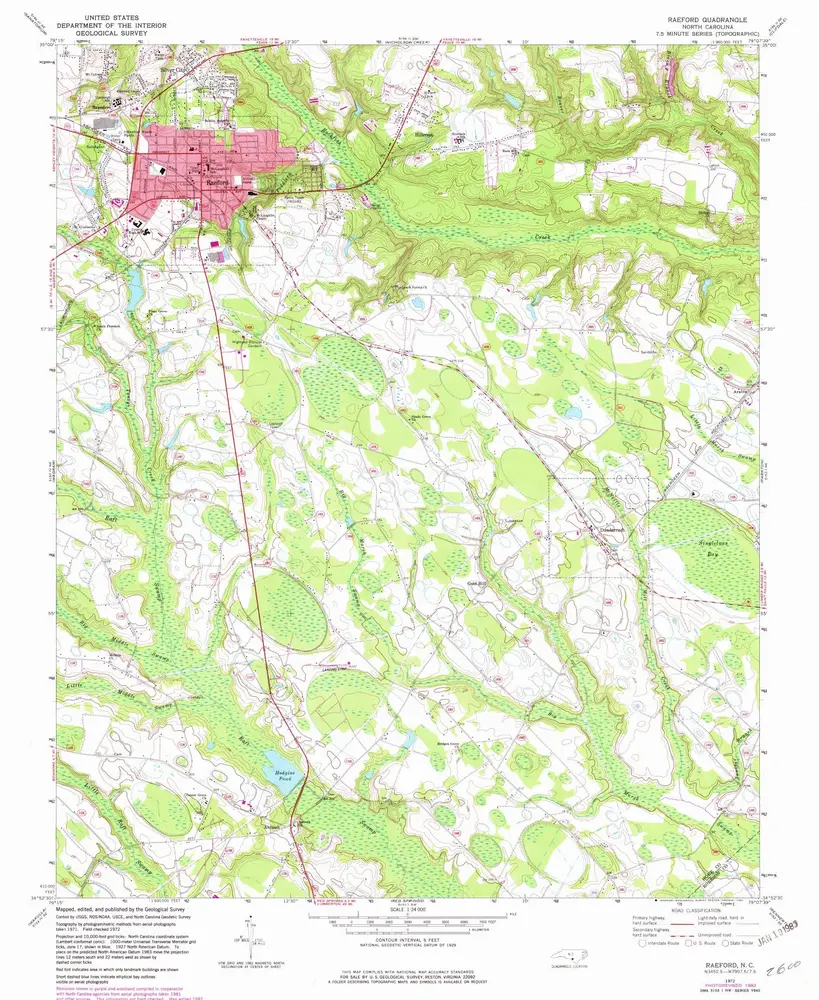
Raeford
1972
1:24k
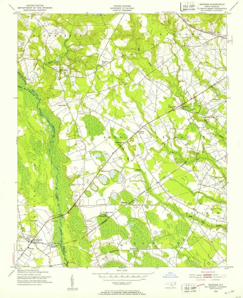
Wagram
1949
1:24k
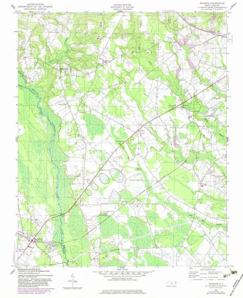
Wagram
1949
1:24k
Geschichte