Projekt
Wspólnota
Aktualności
Moja aplikacja
Moje mapy
Katalogisierte Karte
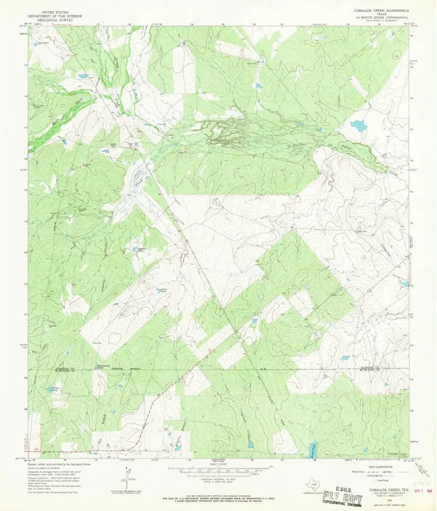
Caballos Creek
Wyświetlanie na zewnętrznej stronie internetowej
Zobacz zdigitalizowane
Einrichtung:
United States Geological Survey
Vollständiger Titel:
Caballos Creek
Jahr der Abbildung:
1965
Veröffentlichungsdatum:
1966
Maßstab der Karte:
1:24 000
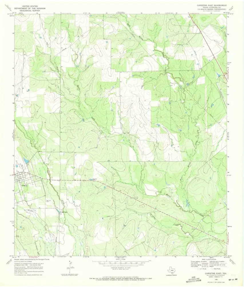
Christine East
1969
1:24k
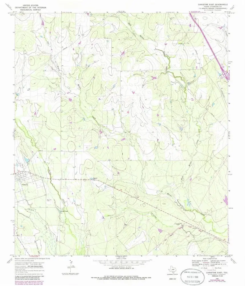
Christine East
1969
1:24k
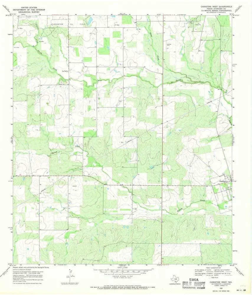
Christine West
1968
1:24k
Pleasanton
1956
1:63k
Jourdanton
1956
1:63k
Pleasanton
1985
1:100k
Pleasanton
1985
1:100k
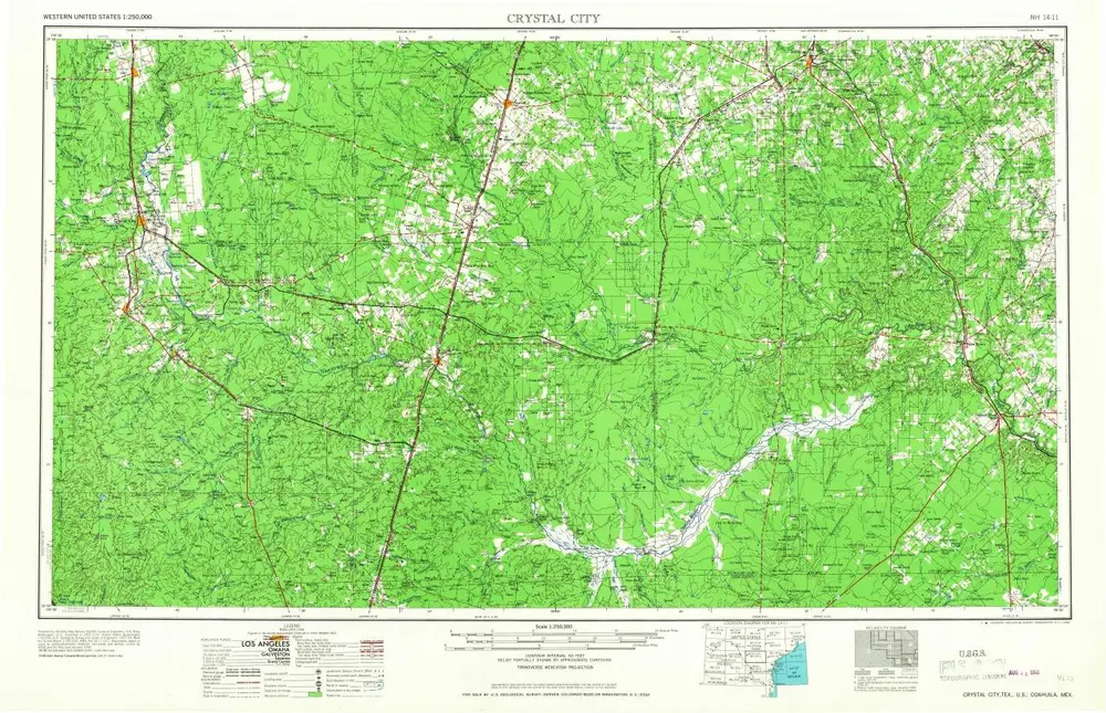
Crystal City
1968
1:250k
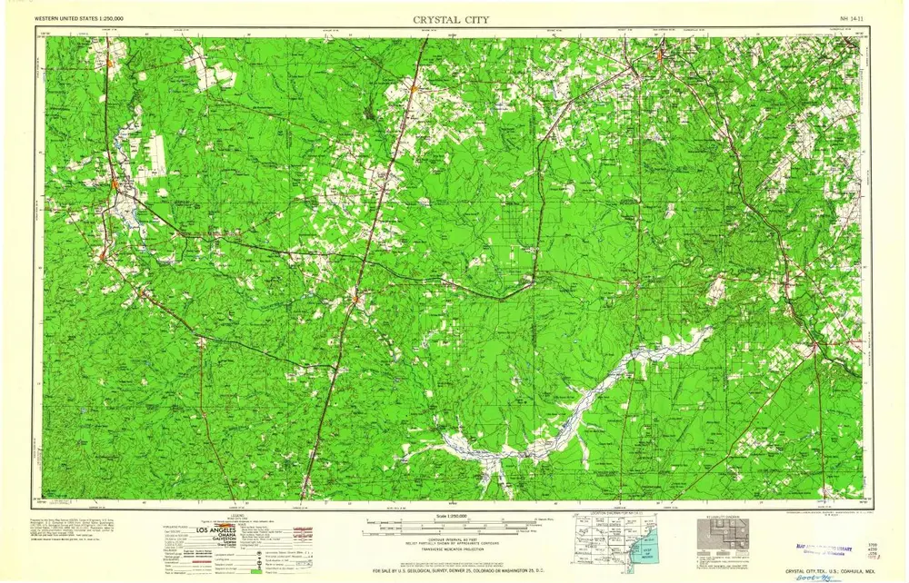
Crystal City
1961
1:250k
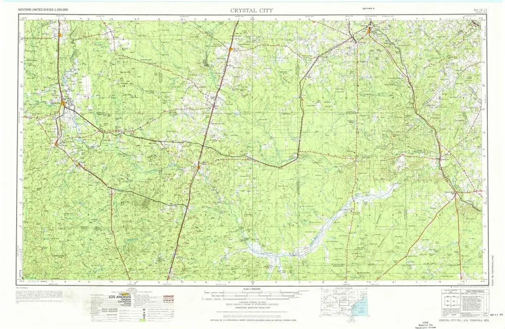
Crystal City
1955
1:250k
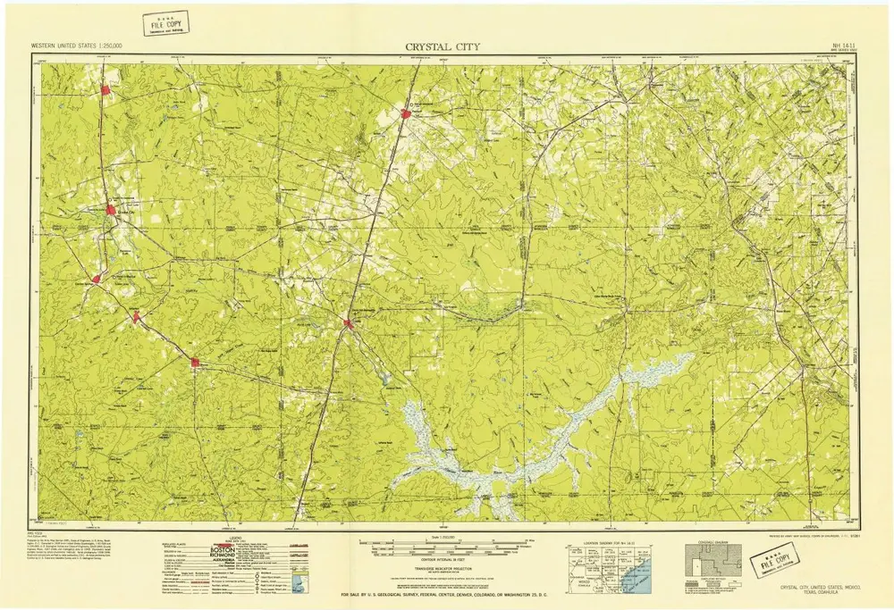
Crystal City
1953
1:250k
Geschichte