Skatalogowana mapa
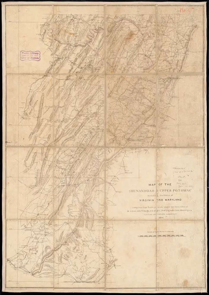
Map of the Shenandoah & Upper Potomac including portions of Virginia and Maryland

Instytucja:community
Pełny tytuł:Map of the Shenandoah & Upper Potomac including portions of Virginia and Maryland
Rok ilustracji:1864
Wydawca:United States. Army. Office of the Chief of Engineers
Skala mapy:1:253 440
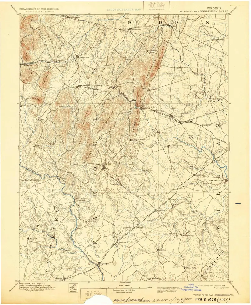
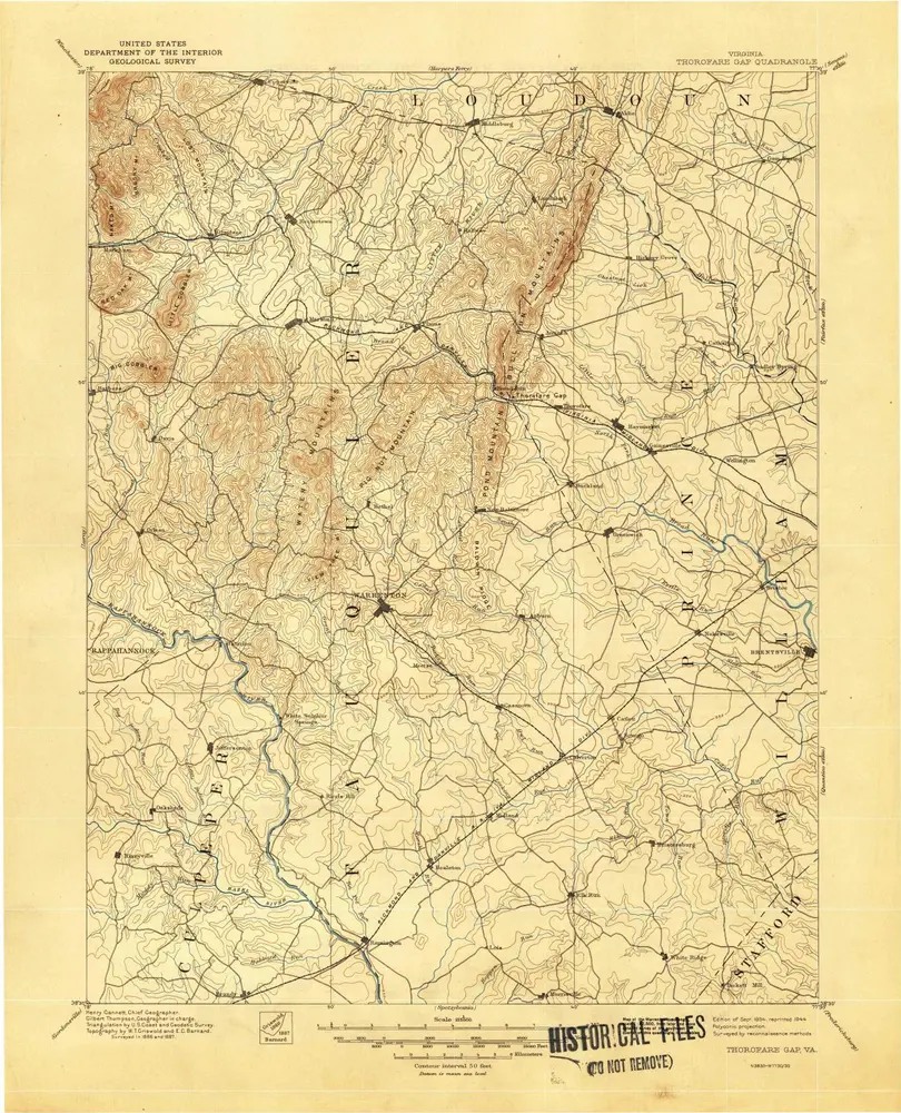
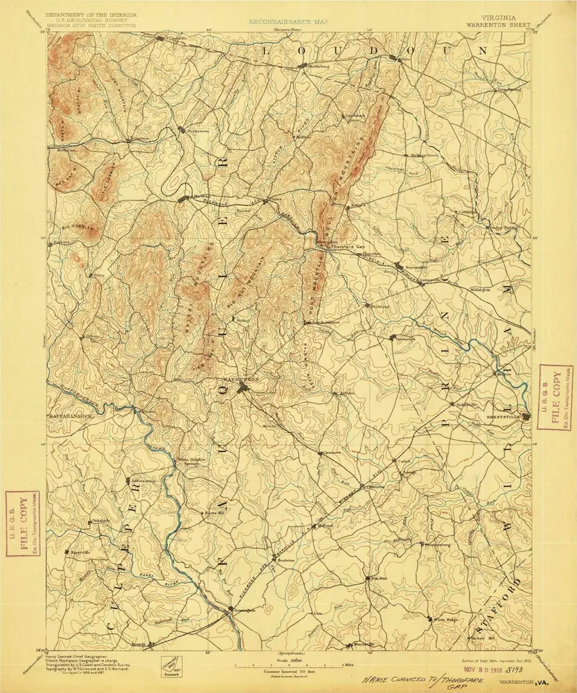
Thorofare Gap
1894
1:125k
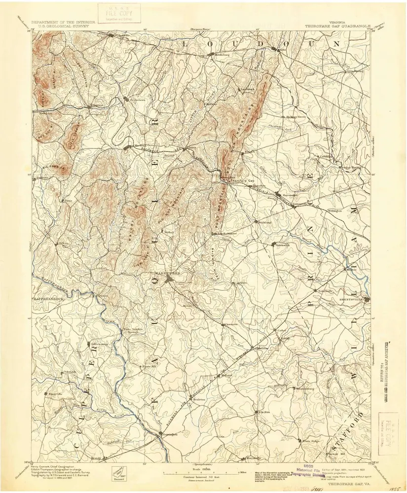
Thorofare Gap
1894
1:125k
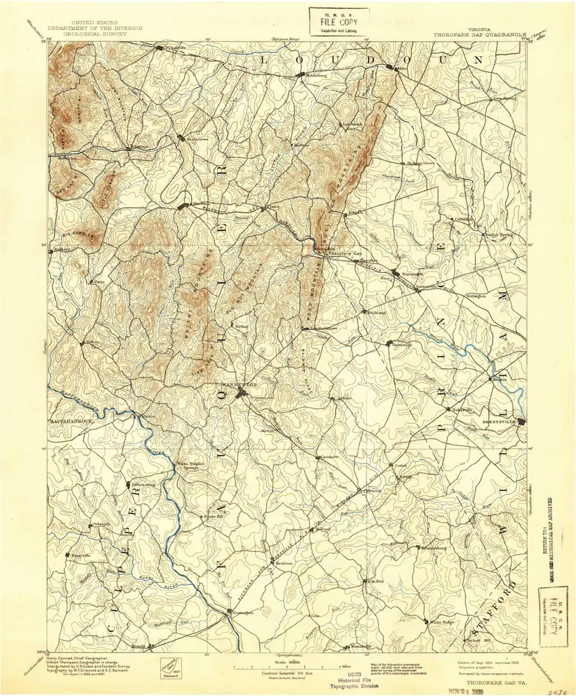
Thorofare Gap
1894
1:125k
Thorofare Gap
1894
1:125k
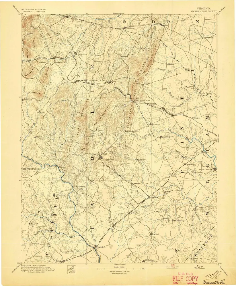
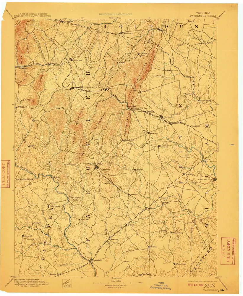
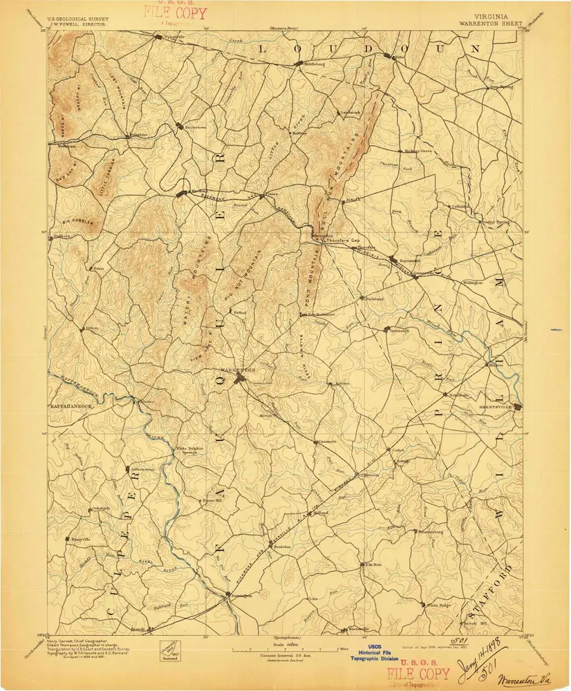
Warrenton
1894
1:125k
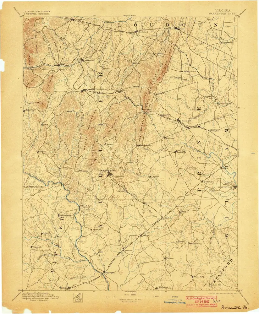
Warrenton
1894
1:125k
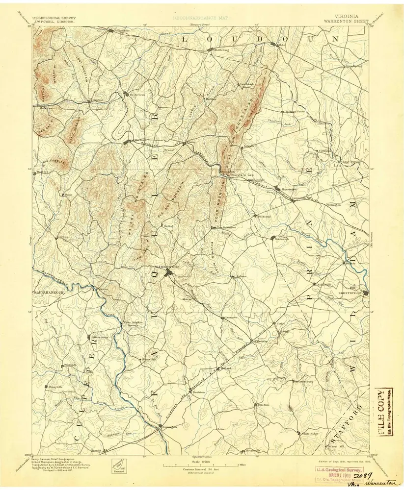
Warrenton
1894
1:125k
Warrenton
1894
1:125k
Warrenton
1894
1:125k
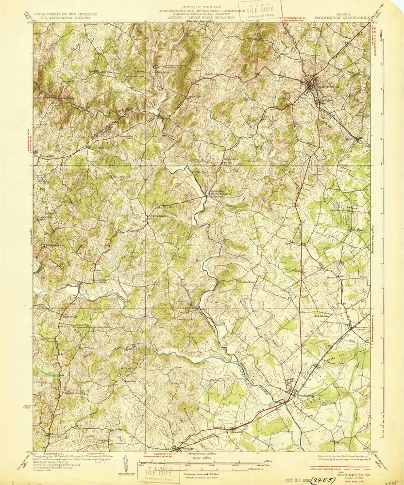
Warrenton
1930
1:63k
Warrenton
1930
1:63k
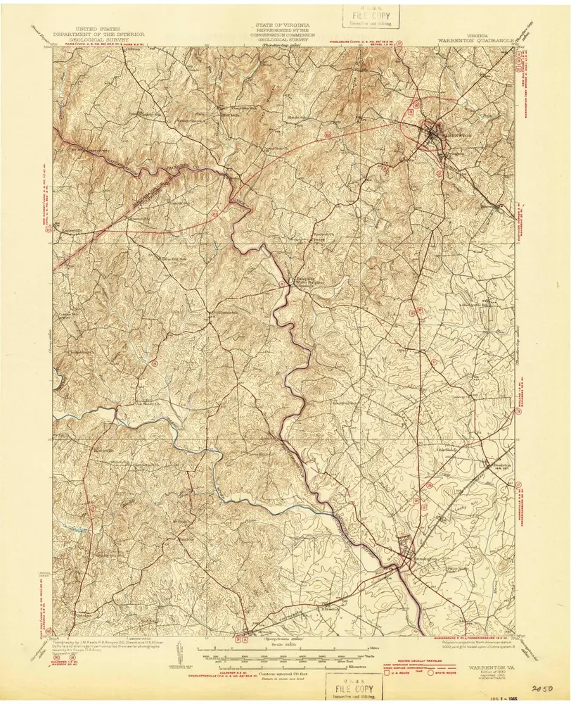
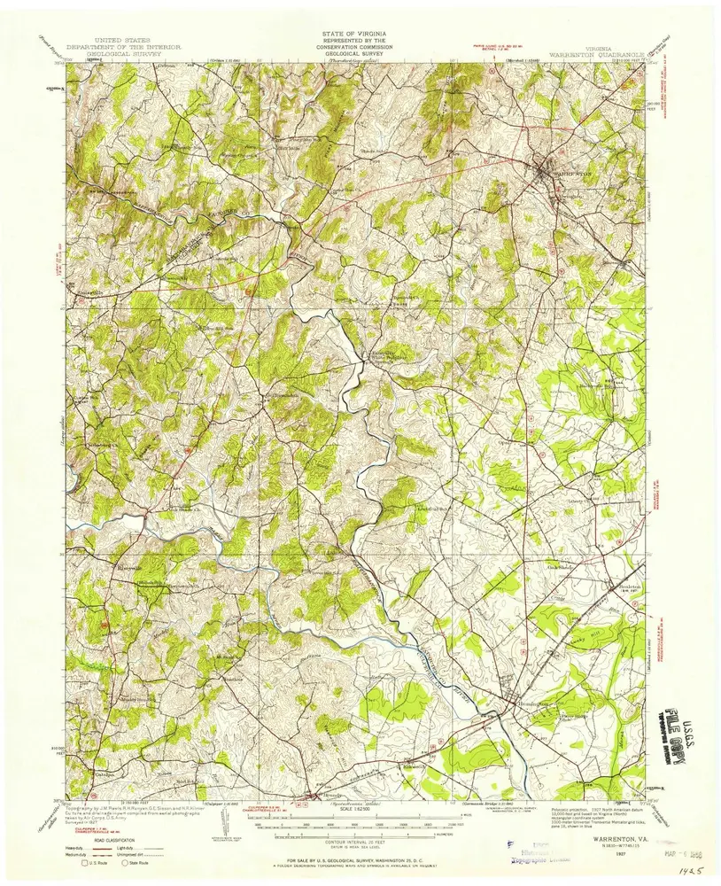
Warrenton
1927
1:63k
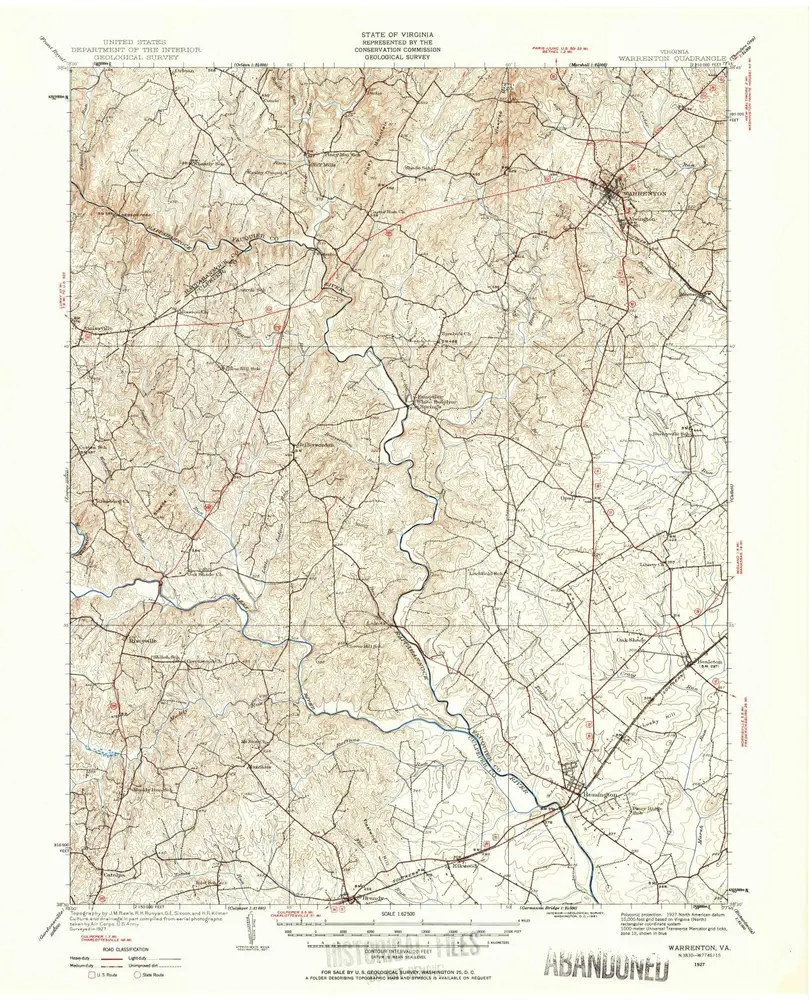
Warrenton
1927
1:63k
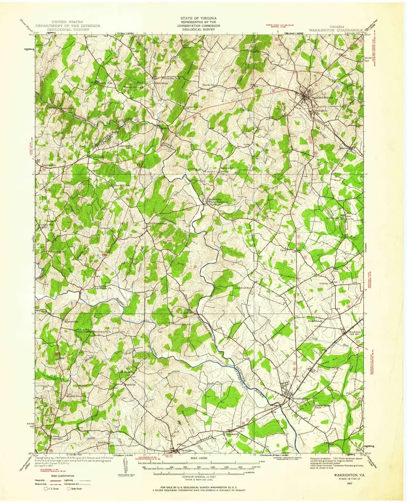
Warrenton
1927
1:63k
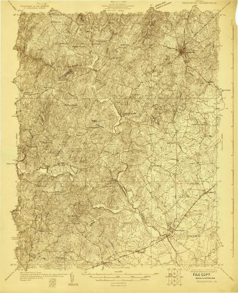
Remington
1927
1:48k
Warrenton
1894
1:63k