Projekt
Wspólnota
Aktualności
Moja aplikacja
Moje mapy
Katalogisierte Karte
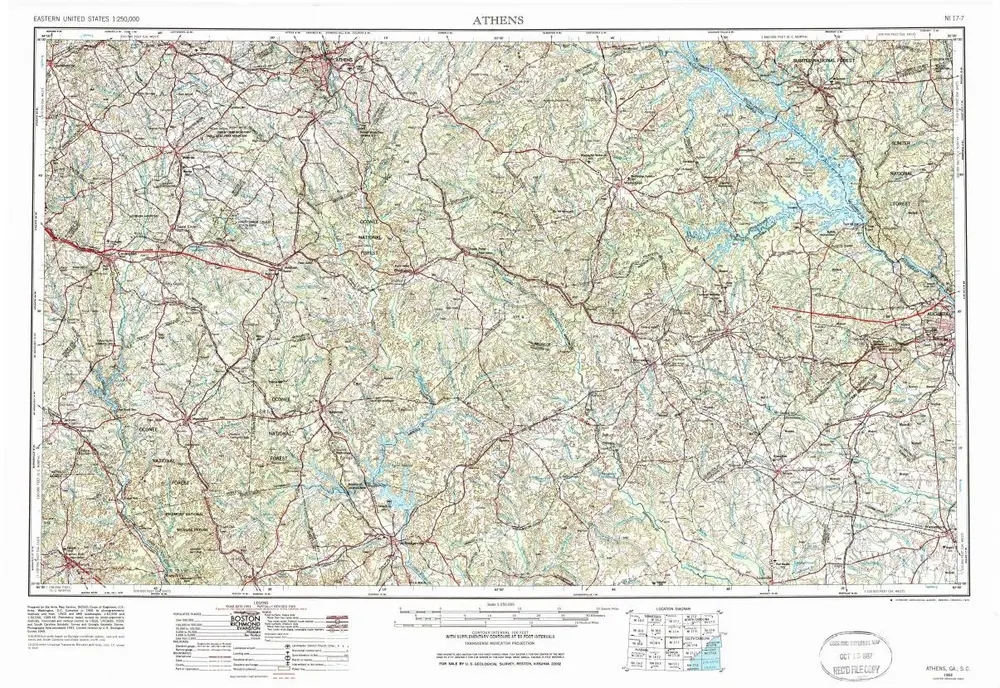
Athens
Wyświetlanie na zewnętrznej stronie internetowej
Zobacz zdigitalizowane
Einrichtung:
United States Geological Survey
Vollständiger Titel:
Athens
Jahr der Abbildung:
1953
Veröffentlichungsdatum:
1974
Maßstab der Karte:
1:250 000
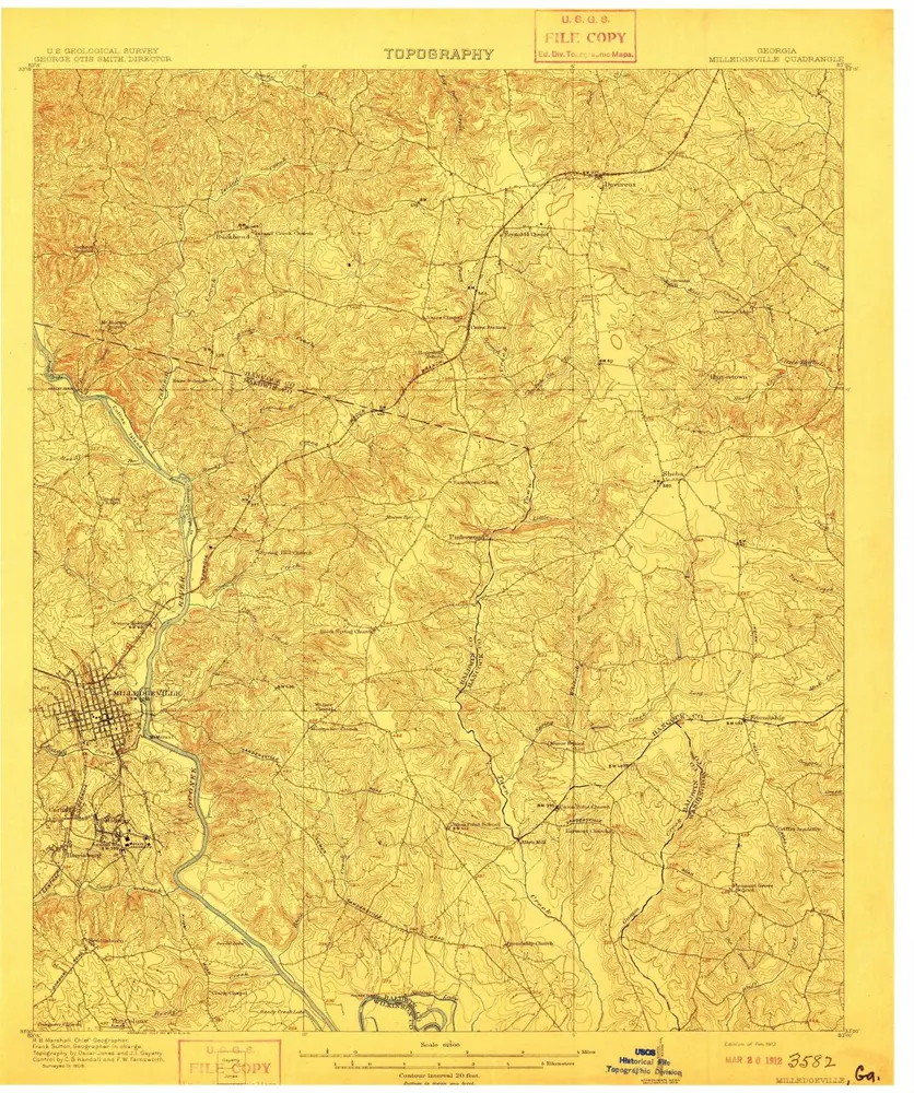
Milledgeville
1912
1:63k
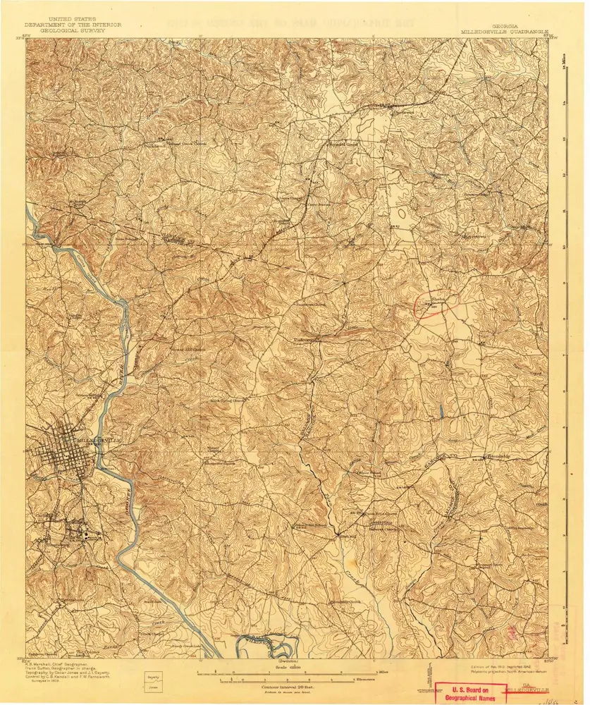
Milledgeville
1912
1:63k
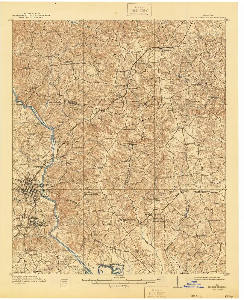
Milledgeville
1912
1:63k
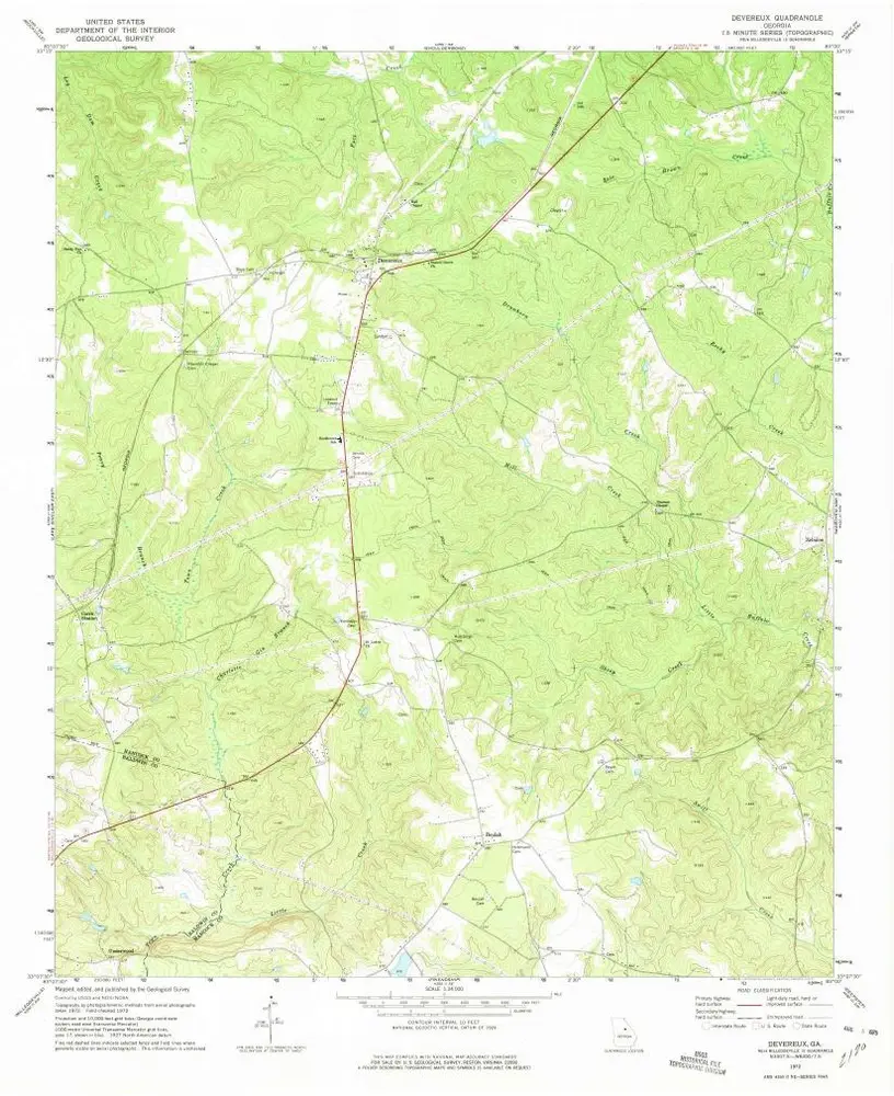
Devereux
1972
1:24k
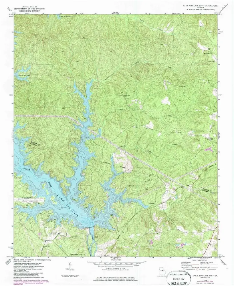
Lake Sinclair East
1972
1:24k
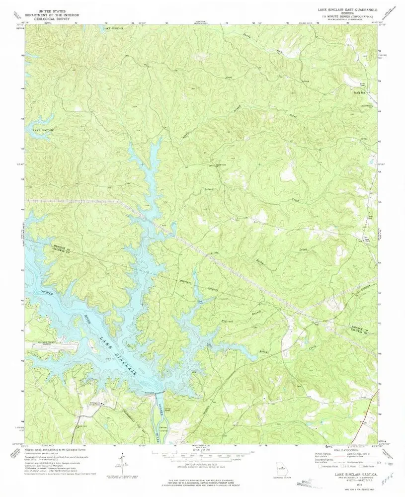
Lake Sinclair East
1972
1:24k
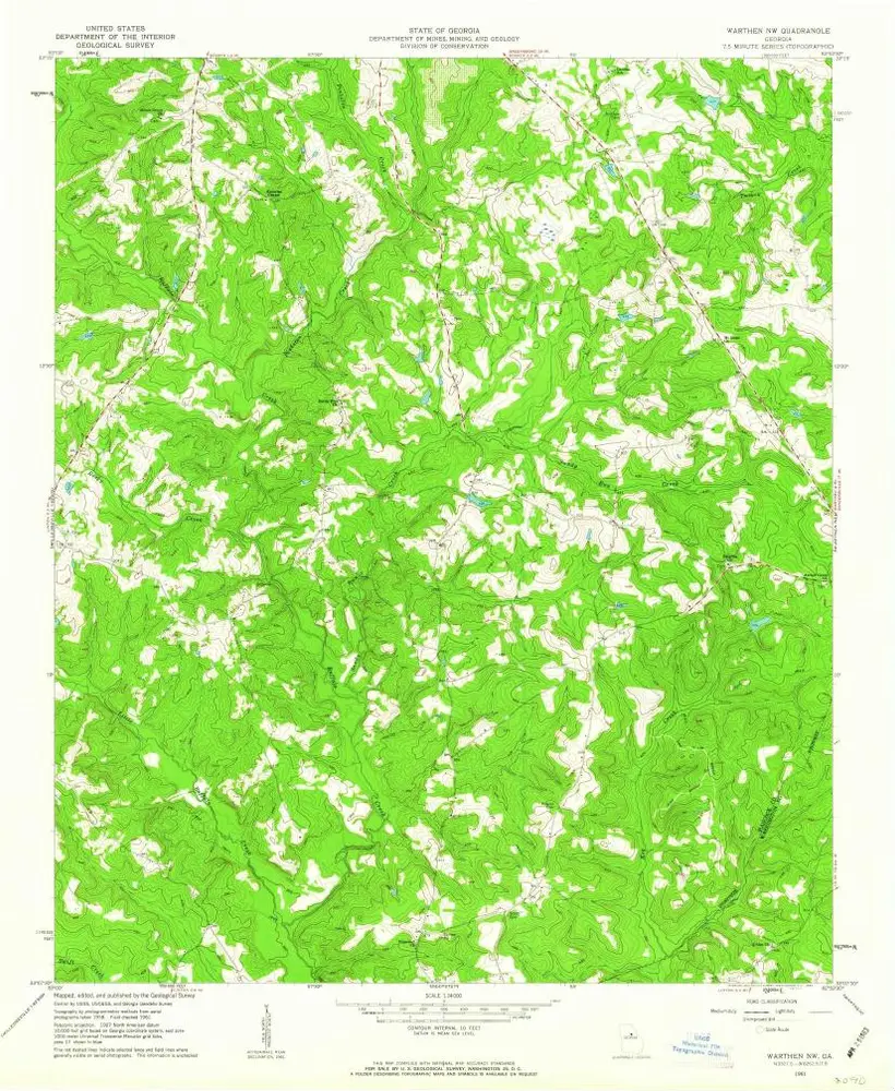
Warthen NW
1961
1:24k
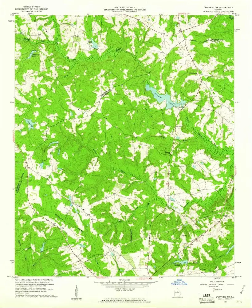
Warthen NE
1960
1:24k
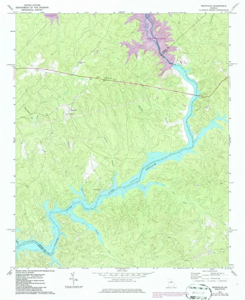
Rockville
1972
1:24k
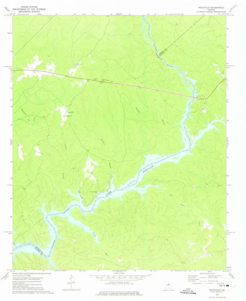
Rockville
1972
1:24k
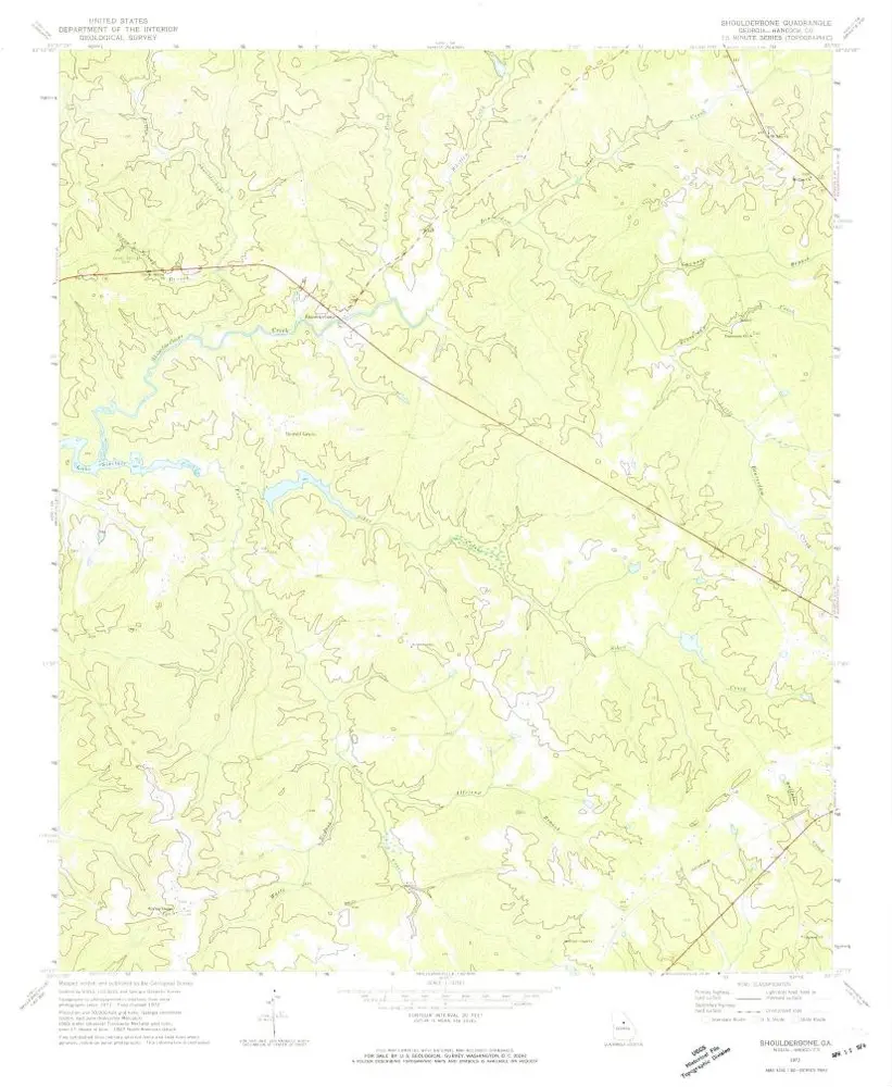
Shoulderbone
1972
1:24k
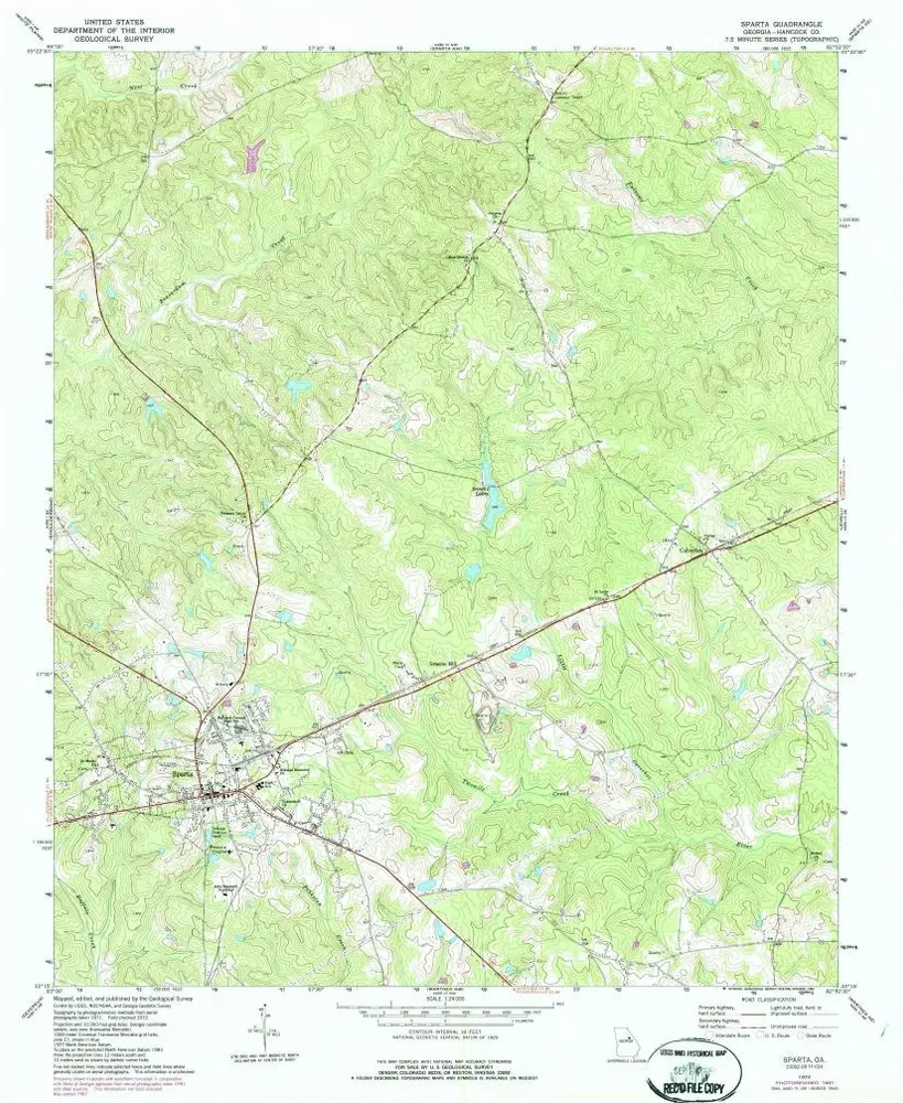
Sparta
1972
1:24k
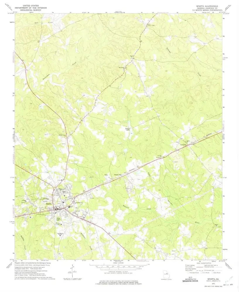
Sparta
1972
1:24k
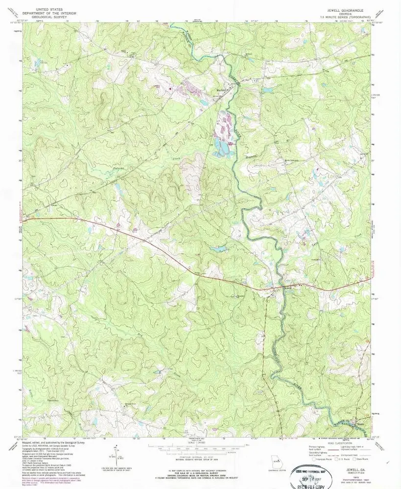
Jewell
1972
1:24k
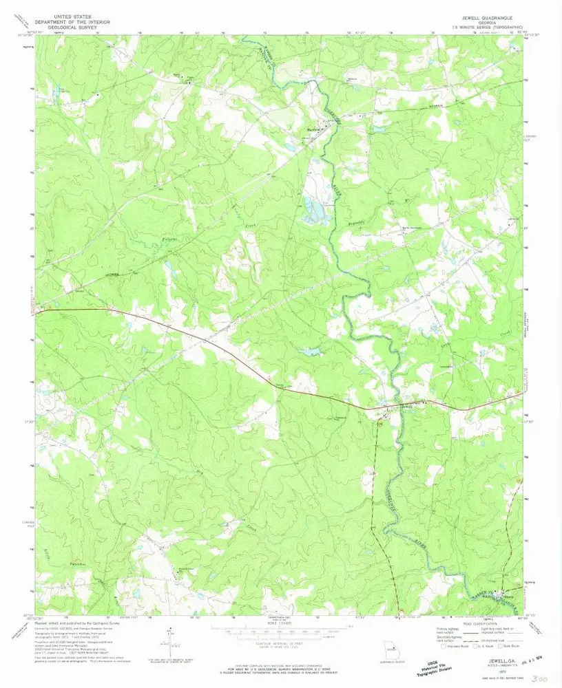
Jewell
1972
1:24k
Geschichte