Projekt
Wspólnota
Aktualności
Moja aplikacja
Moje mapy
Cataloged map
Muskogee
Wyświetlanie na zewnętrznej stronie internetowej
Zobacz zdigitalizowane
Institution:
United States Geological Survey
Full title:
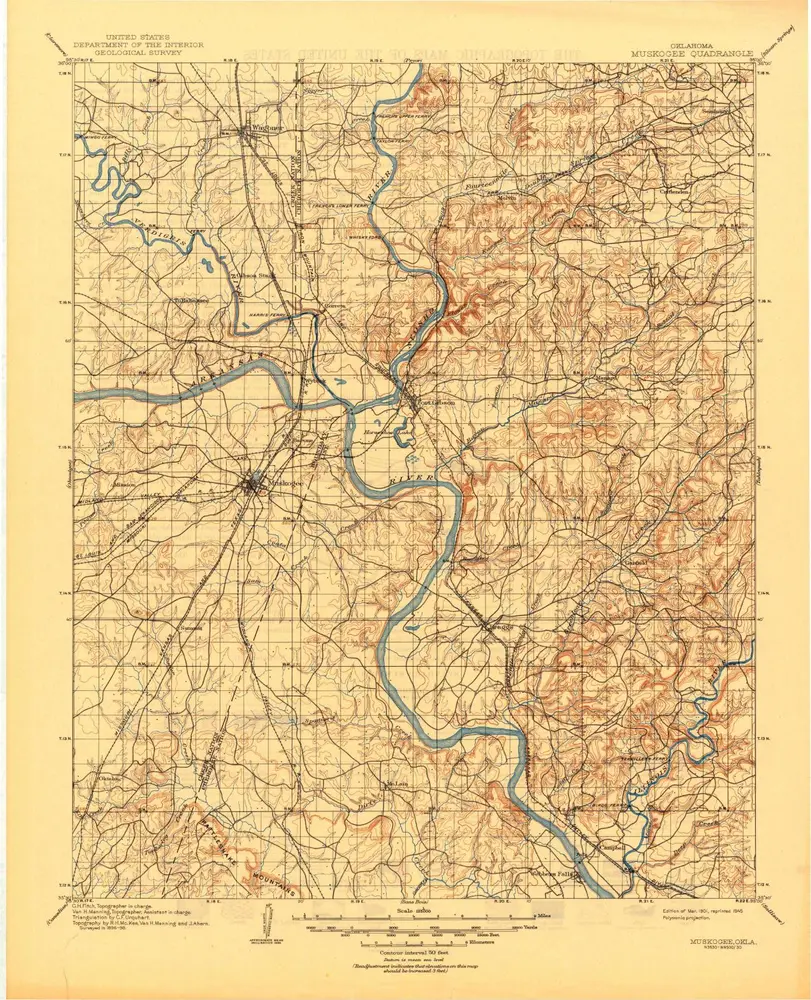
Muskogee
Depicted:
1901
Pubdate:
1945
Map scale:
1:125 000
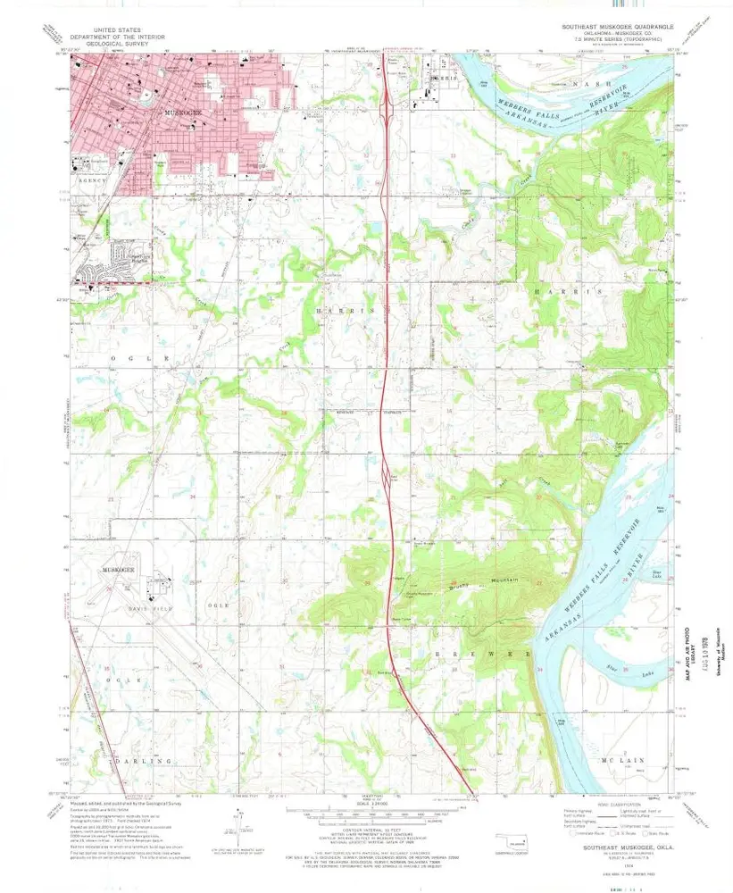
Southeast Muskogee
1974
1:24k
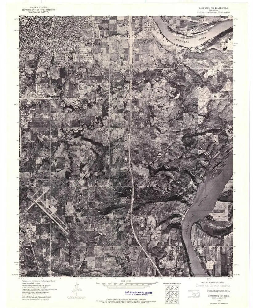
Keefeton NE
1972
1:24k
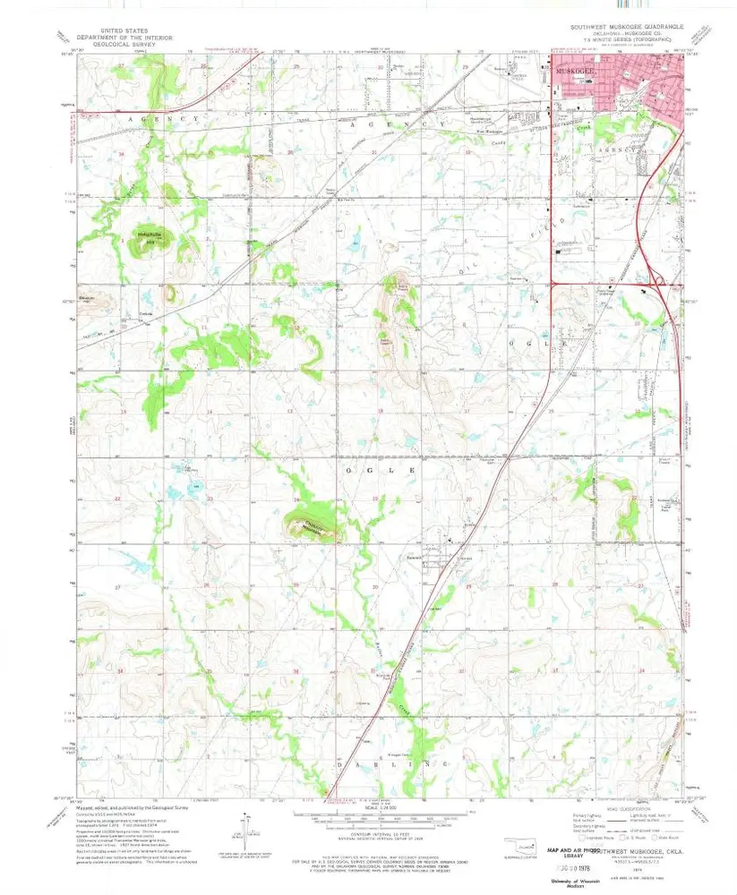
Southwest Muskogee
1974
1:24k
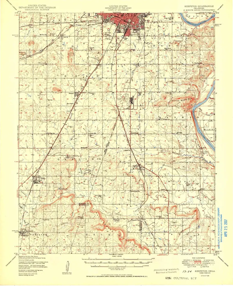
Keefeton
1950
1:63k
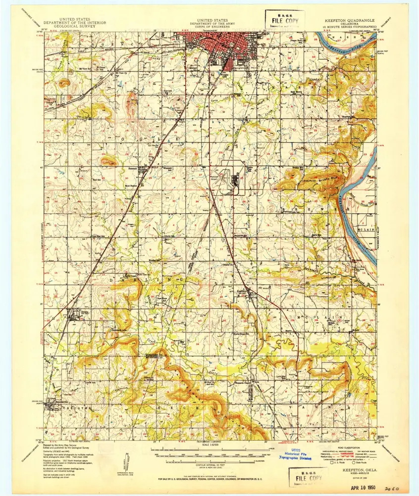
Keefeton
1950
1:63k
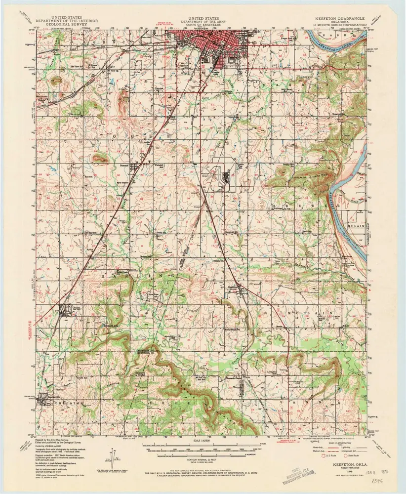
Keefeton
1948
1:63k
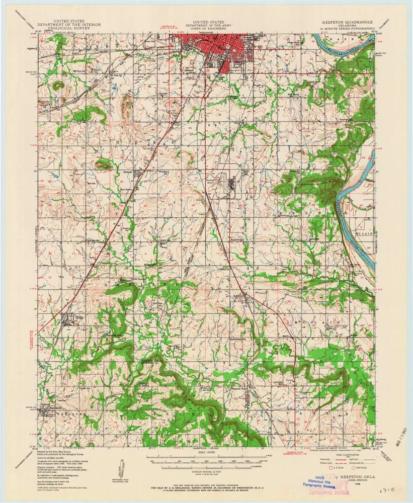
Keefeton
1948
1:63k
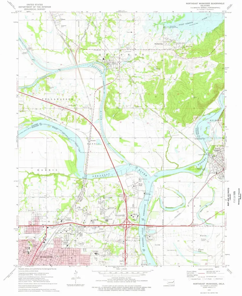
Northeast Muskogee
1974
1:24k
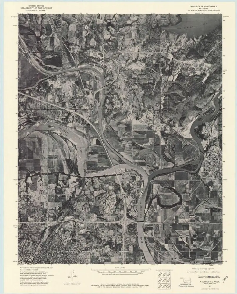
Wagoner SE
1972
1:24k
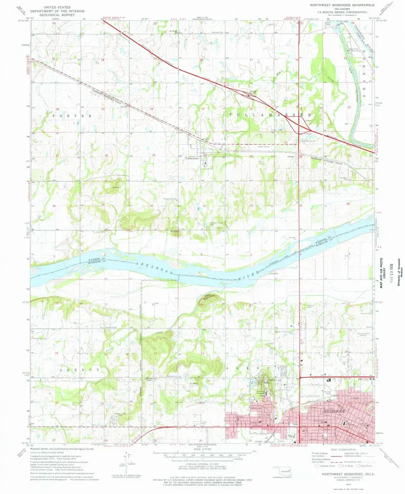
Northwest Muskogee
1974
1:24k
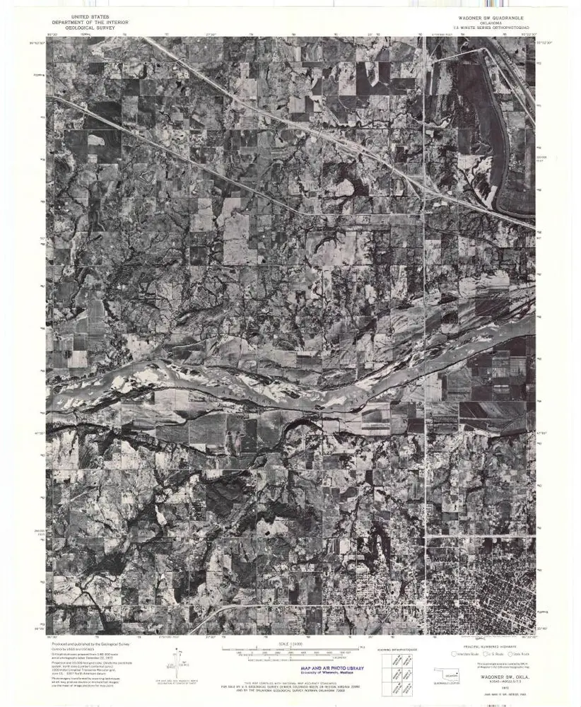
Wagoner SW
1972
1:24k
History