Carte cataloguée
Batavia
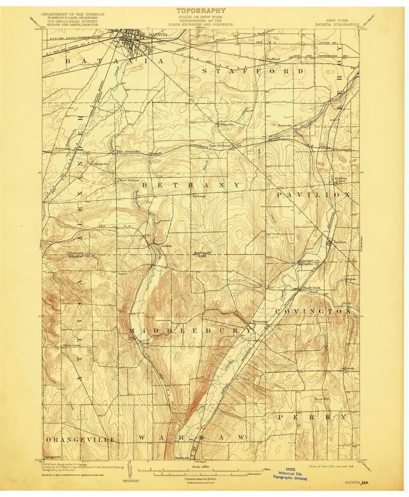

Institution:United States Geological Survey
Titre complet:Batavia
Année de l'image:1904
Date de publication:1918
Échelle de la carte:1:62 500

Genesee County
1876
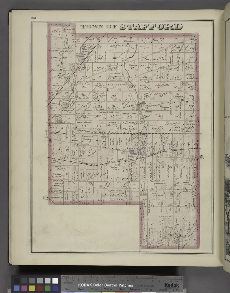
Town of Stafford [Township]
1876
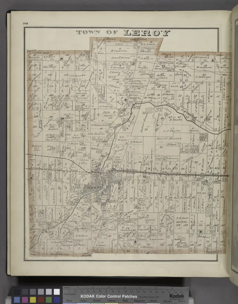
Town of Le Roy [Township]
1876
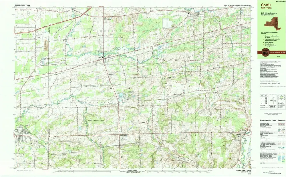
Corfu
1984
1:25k
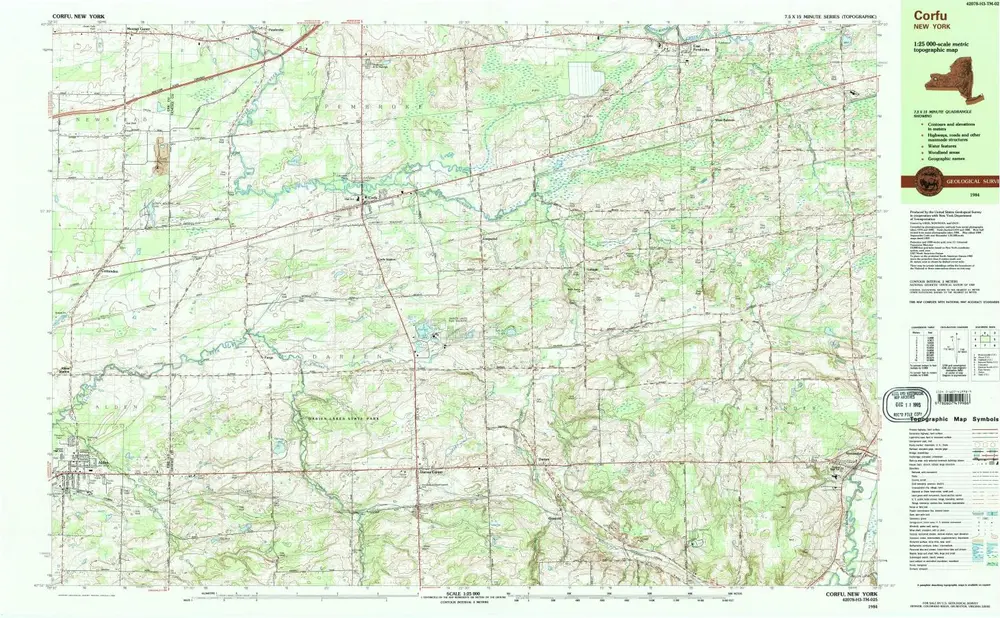
Corfu
1984
1:25k
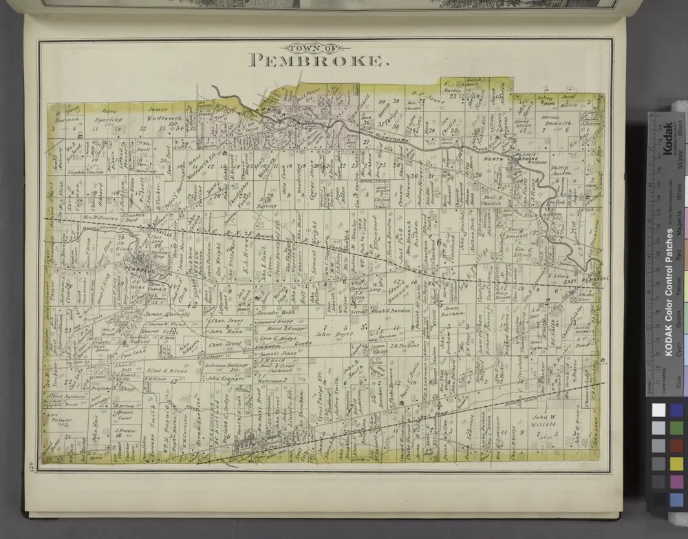
Pembroke. [Township]
1876
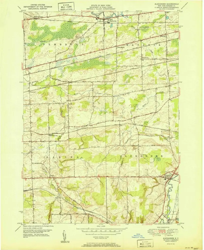
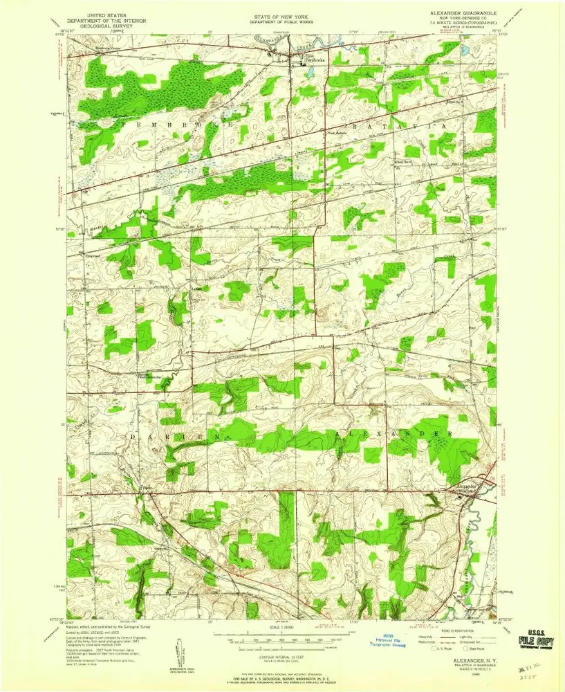
Alexander
1951
1:24k
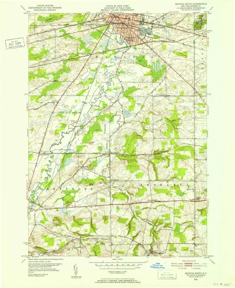
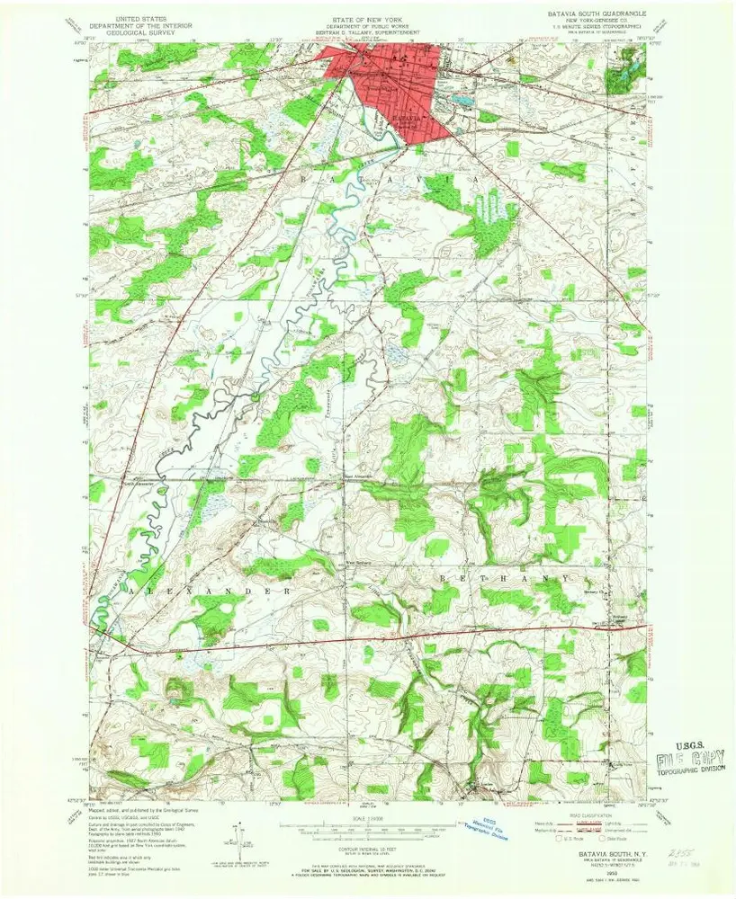
Batavia South
1950
1:24k
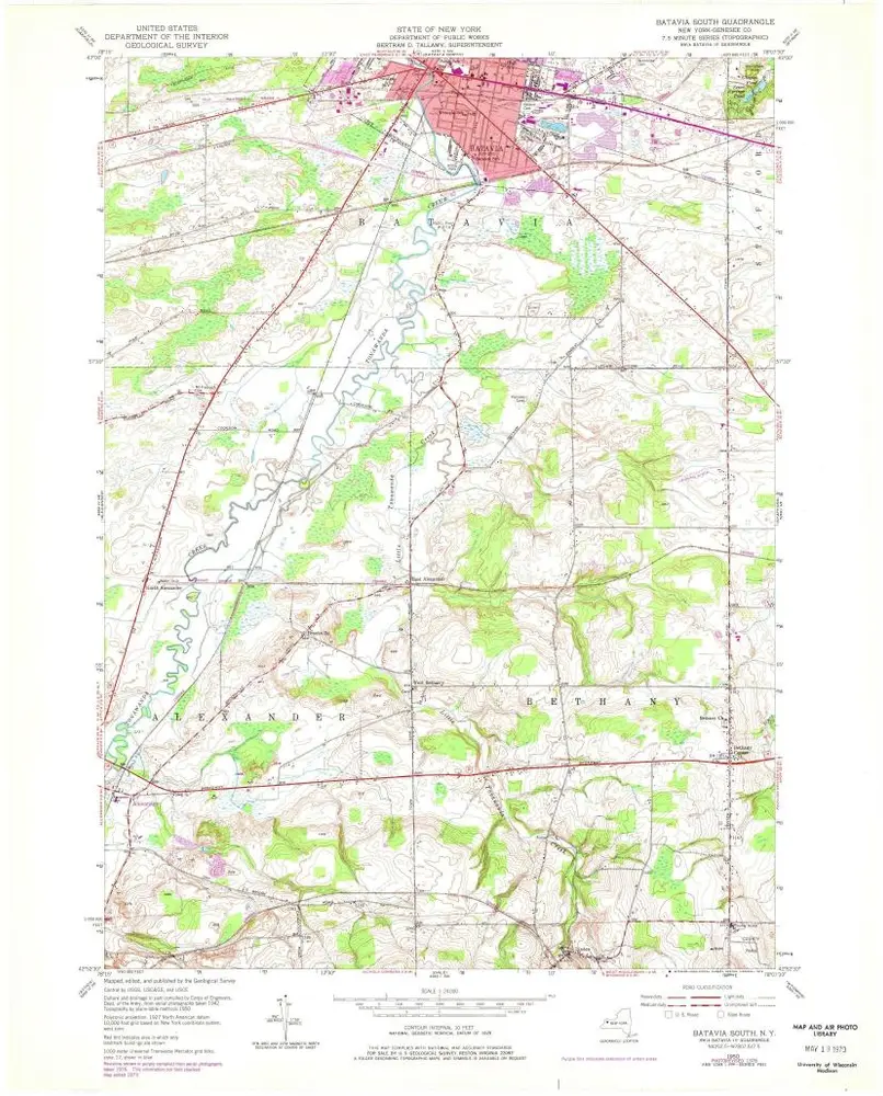
Batavia South
1950
1:24k
Batavia South
1950
1:24k
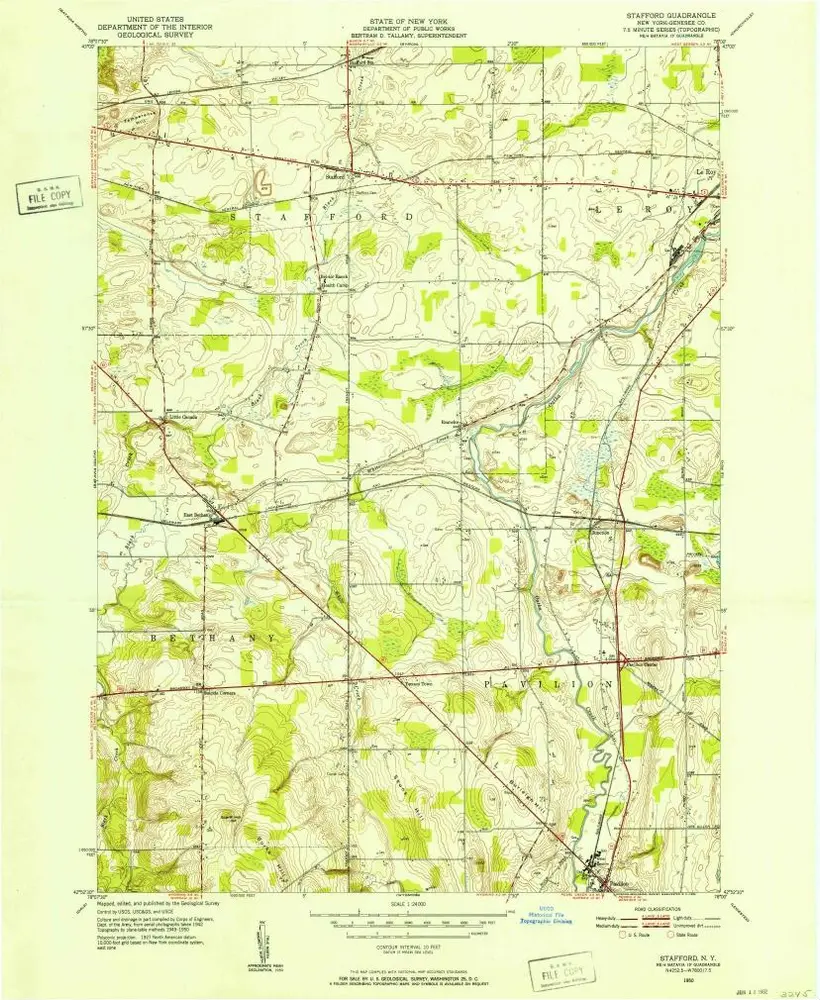
Stafford
1950
1:24k
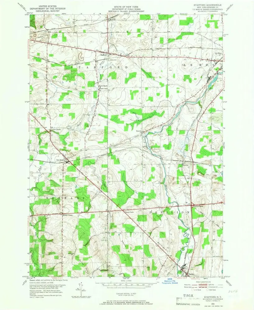
Stafford
1950
1:24k
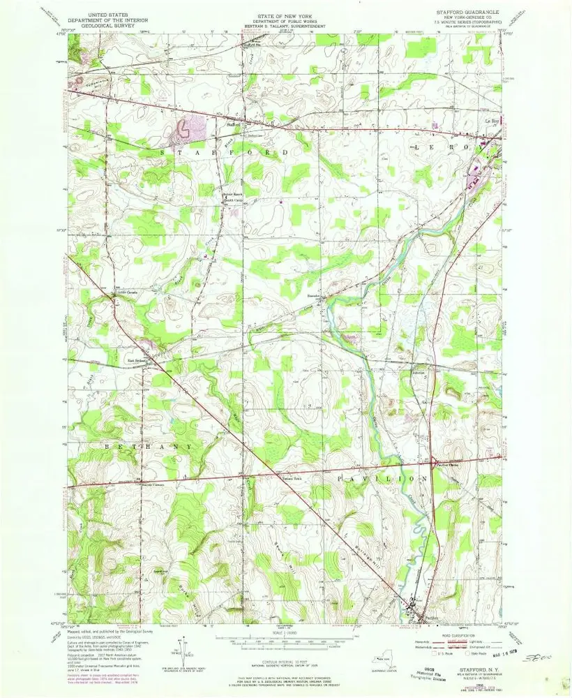
Stafford
1950
1:24k
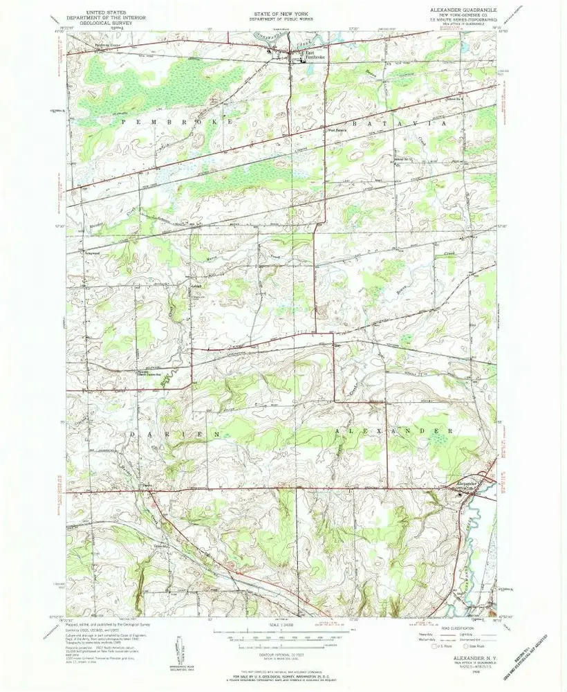
Alexander
1949
1:24k
Alexander
1949
1:24k
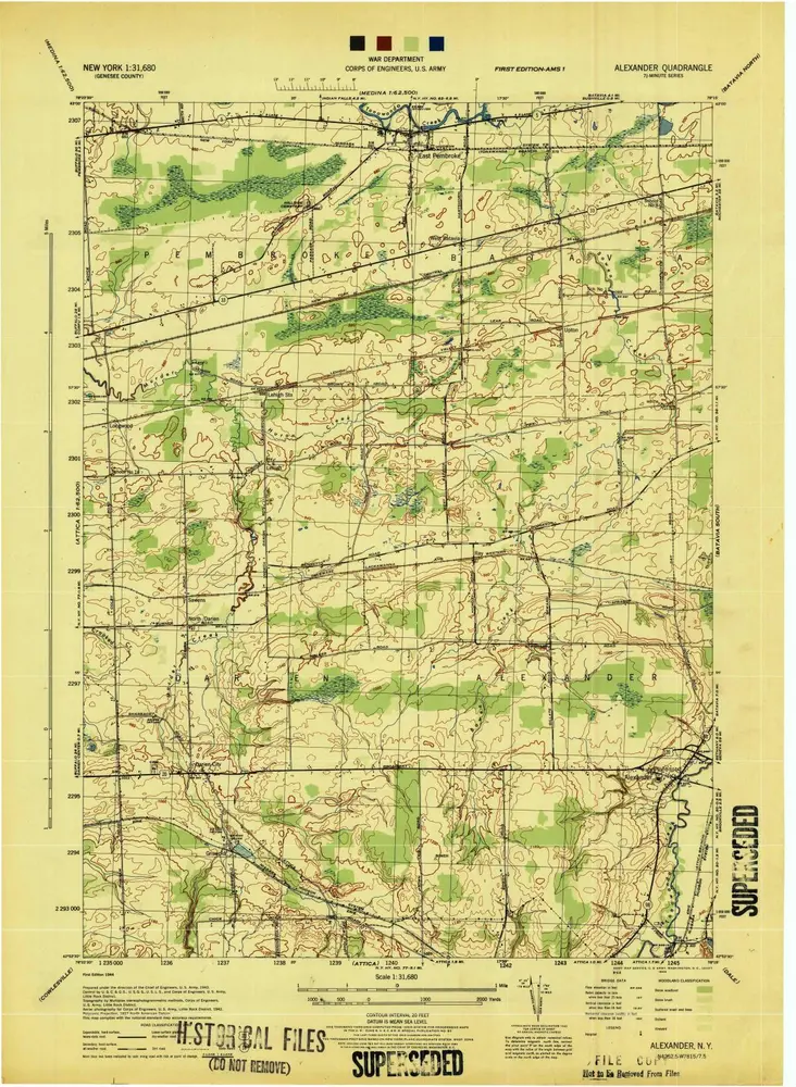
Alexander
1944
1:32k
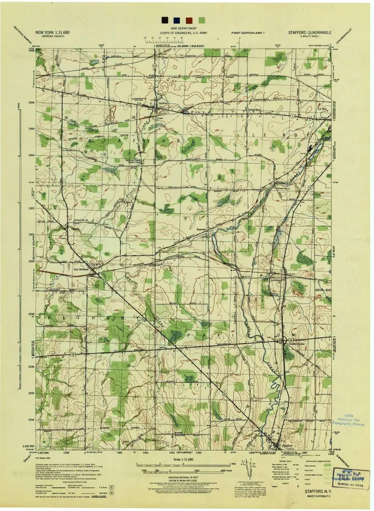
Stafford
1944
1:32k