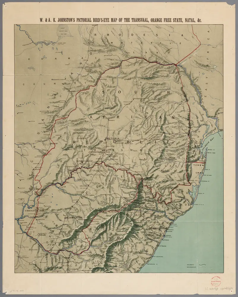
Recto, uit: W. & A. K. Johnston's pictorial bird's-eye map of the Transvaal, Orange Free State, Natal, &c
titelvariant: Johnston's pictorial bird's-eye map of the Transvaal, Orange Free State, Natal, &c; Annotatie: Omslagtitel: Johnston's pictorial bird's-eye map of the Transvaal, Orange Free State, Natal, &c

Mapy
- Nie znaleziono map dla tego obszaru.Dostosuj rok lub ustaw inne filtry.