Projekt
Wspólnota
Aktualności
Moja aplikacja
Moje mapy
Katalogisierte Karte
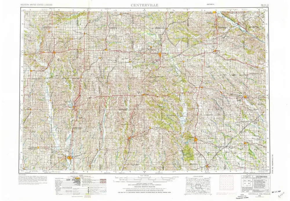
Centerville
Wyświetlanie na zewnętrznej stronie internetowej
Zobacz zdigitalizowane
Einrichtung:
United States Geological Survey
Vollständiger Titel:
Centerville
Jahr der Abbildung:
1954
Veröffentlichungsdatum:
1976
Maßstab der Karte:
1:250 000
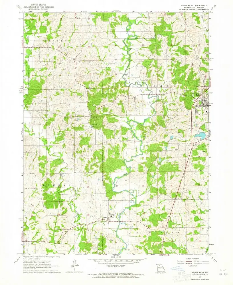
Milan West
1964
1:24k
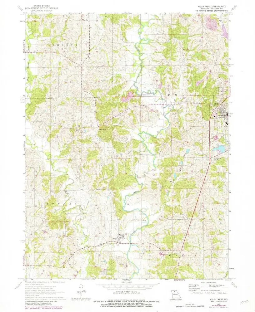
Milan West
1964
1:24k
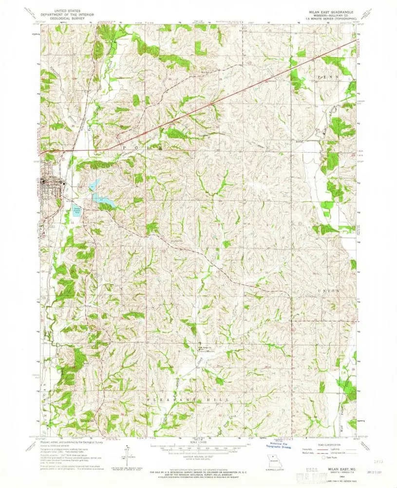
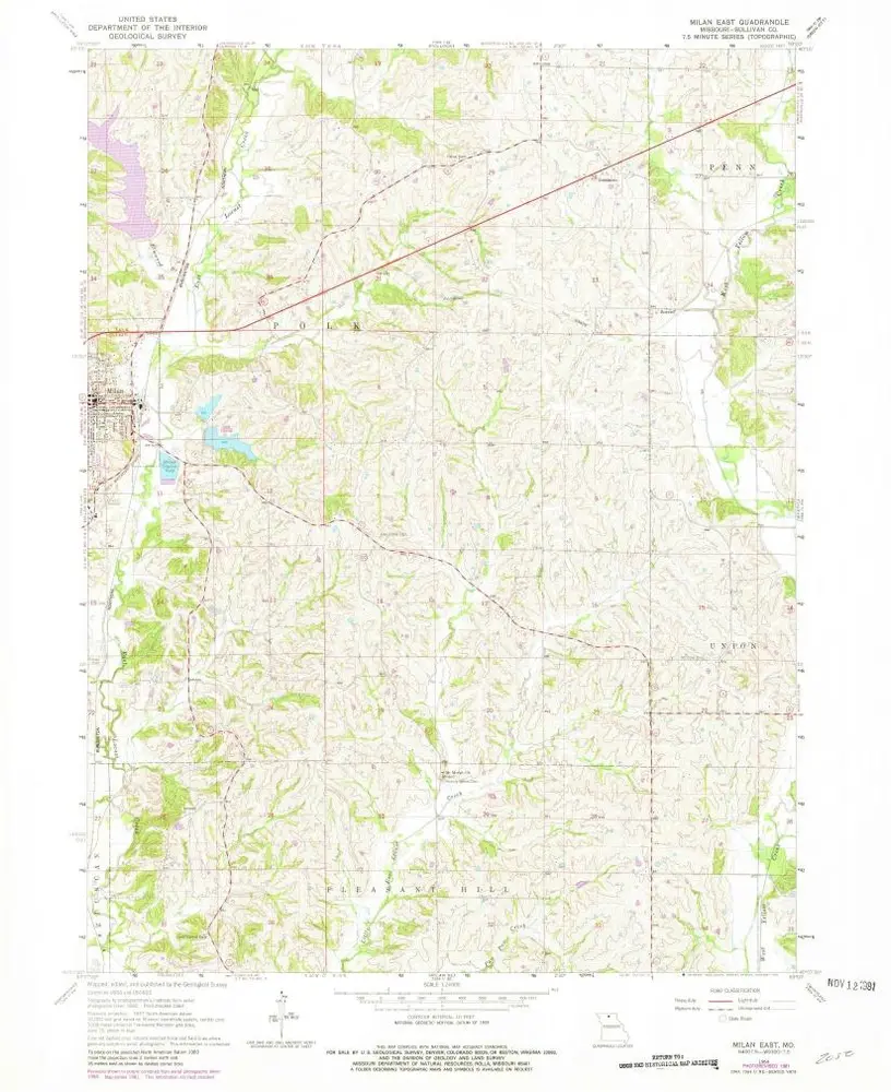
Milan East
1964
1:24k
Milan East
1964
1:24k
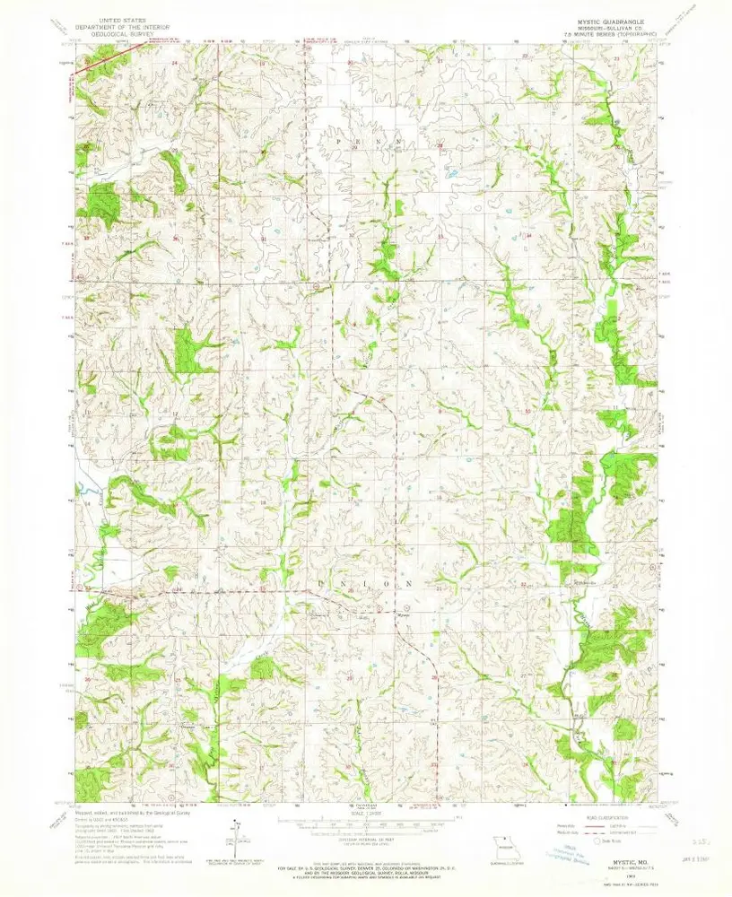
Mystic
1963
1:24k
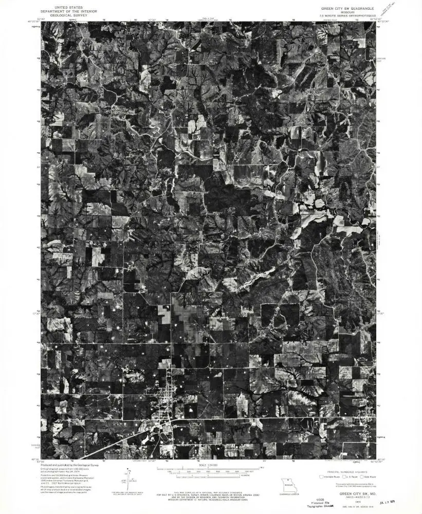
Green City SW
1974
1:24k
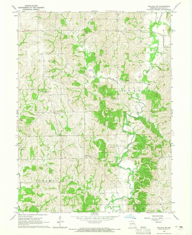
Pollock SW
1964
1:24k
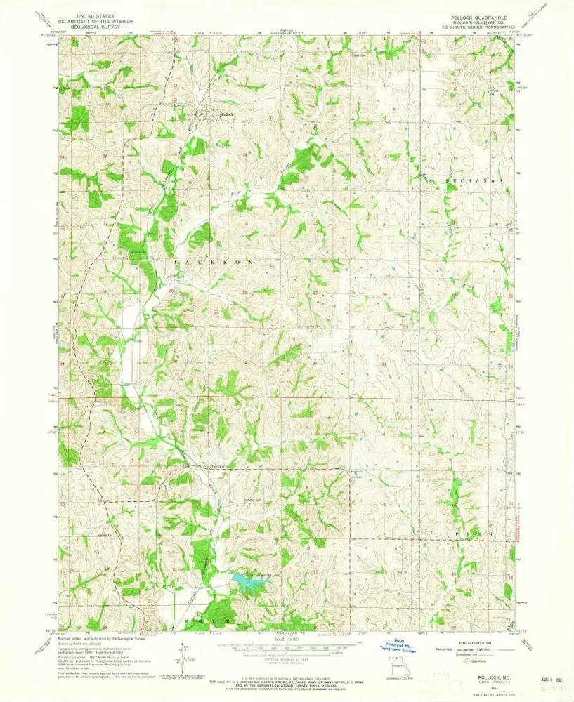
Pollock
1964
1:24k
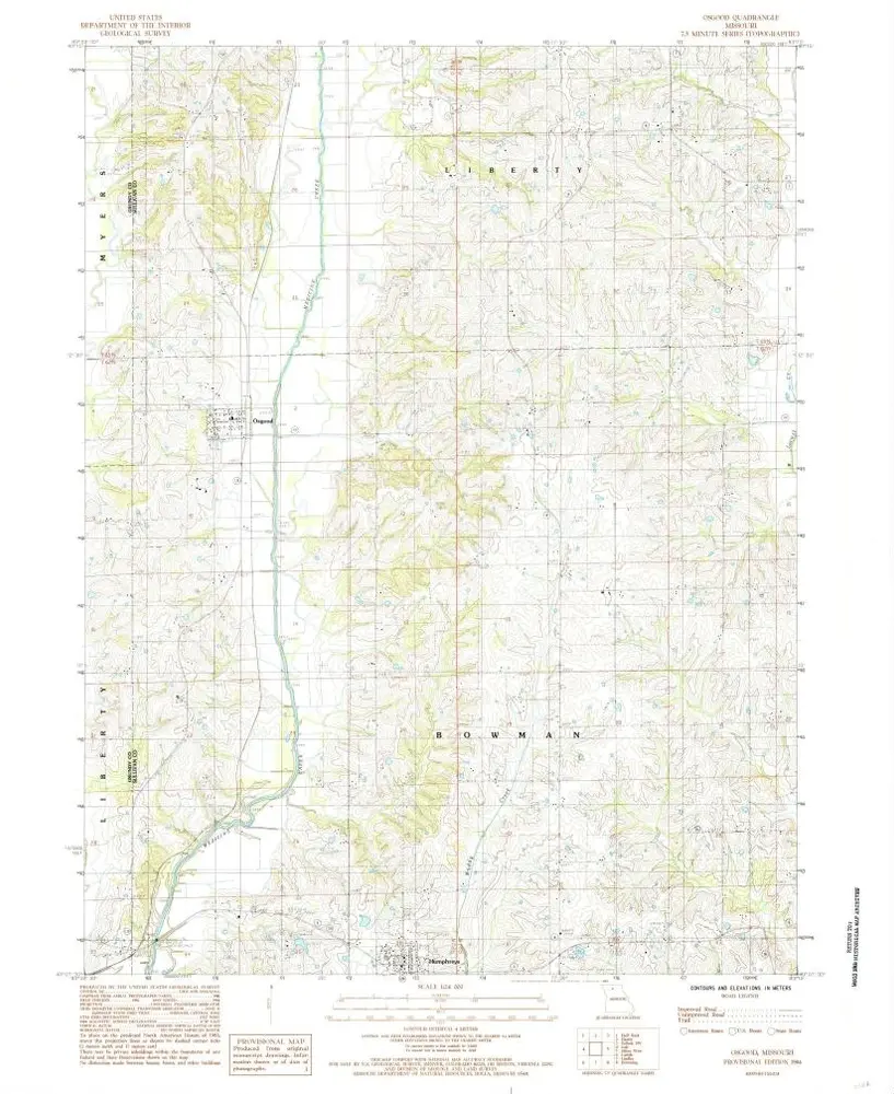
Osgood
1984
1:24k
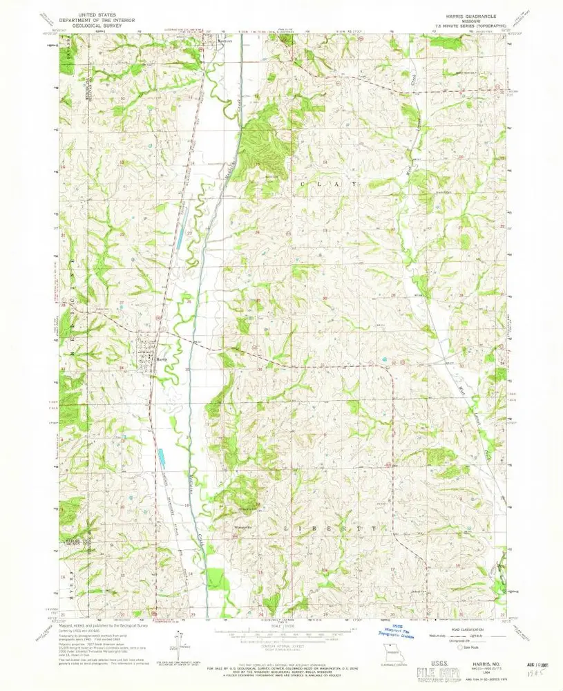
Harris
1964
1:24k
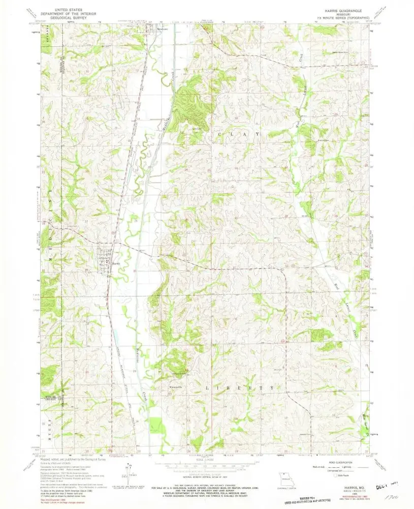
Harris
1964
1:24k
Geschichte