Cataloged map
Nesquehoning
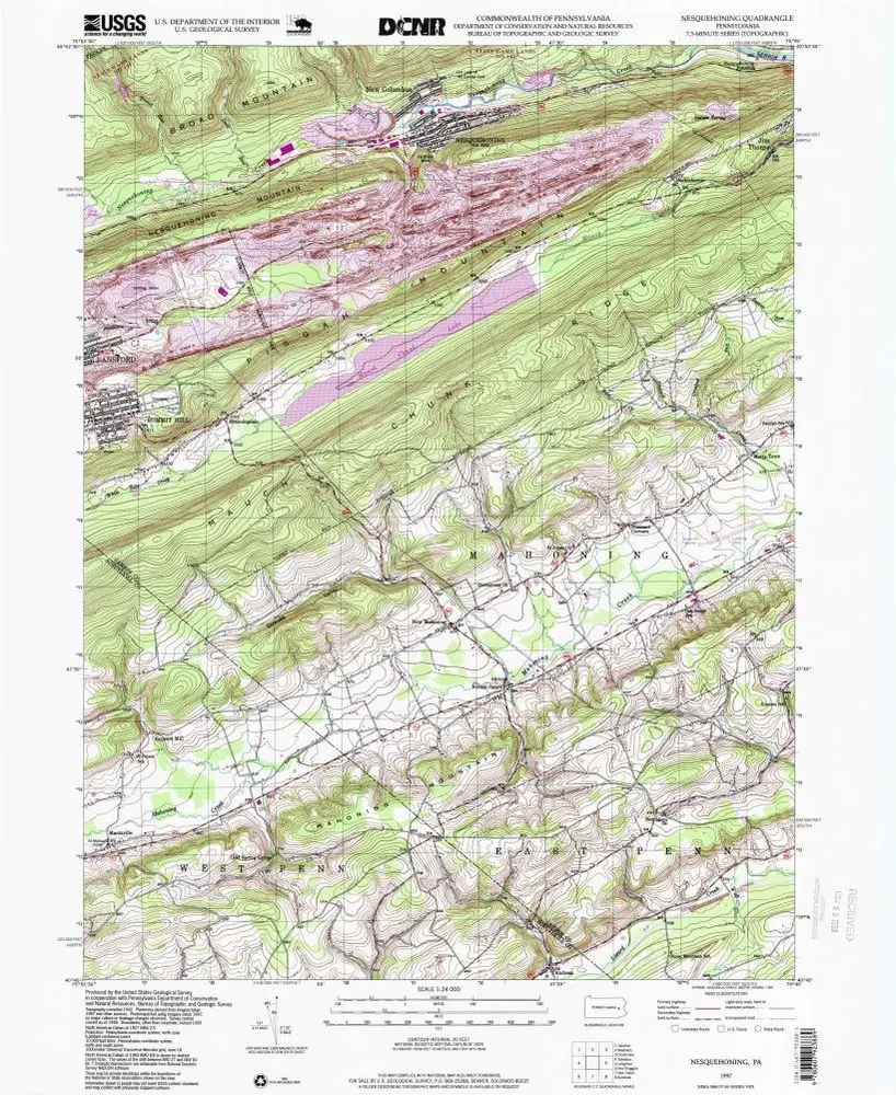

Institution:United States Geological Survey
Full title:Nesquehoning
Depicted:1997
Pubdate:1999
Map scale:1:24 000
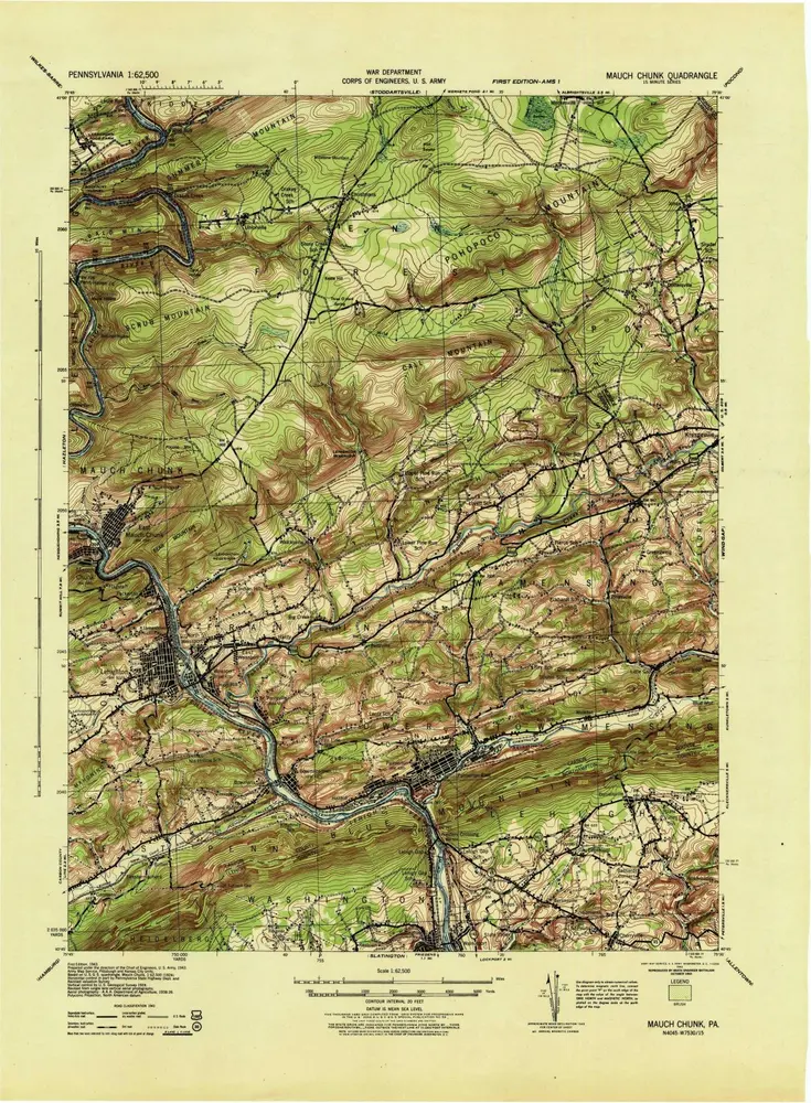
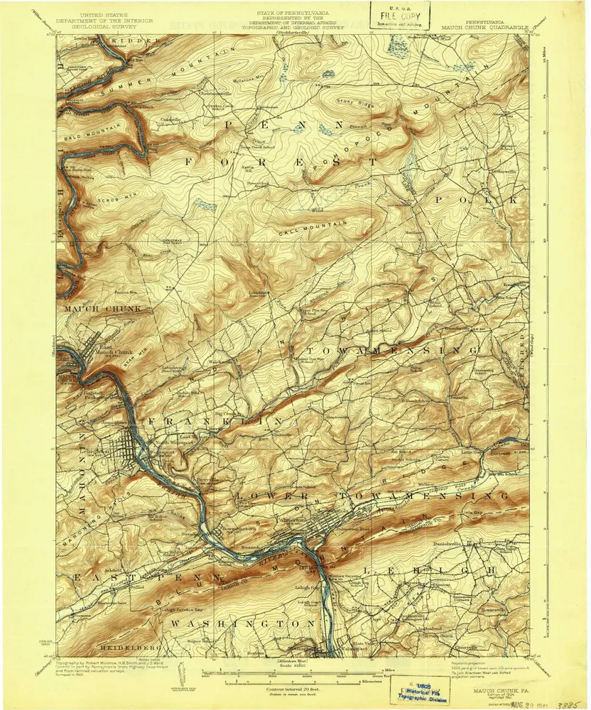
Mauch Chunk
1943
1:63k
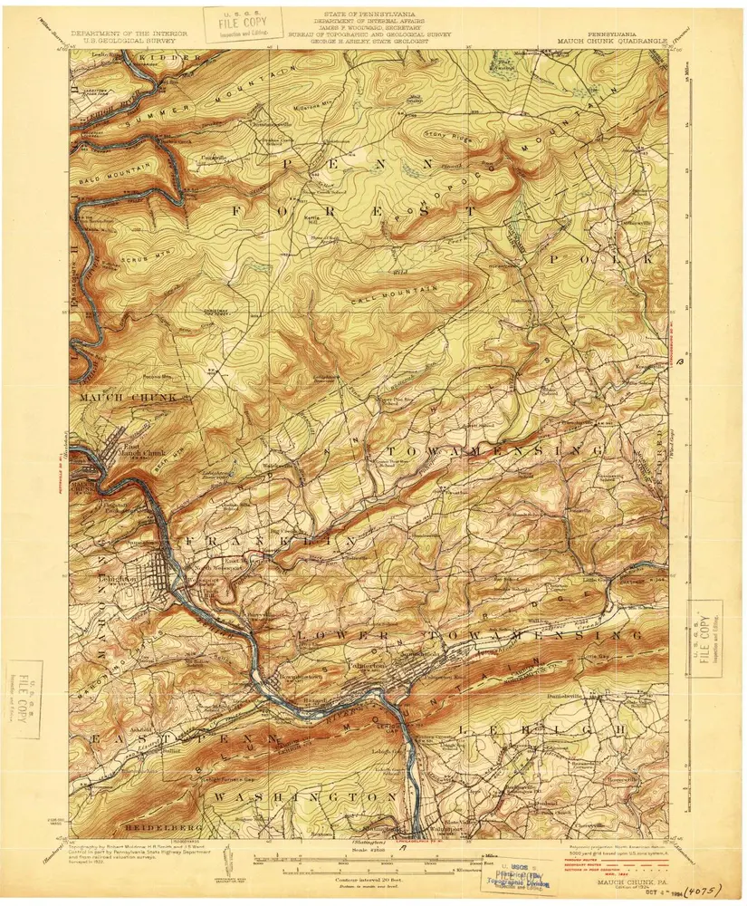
Mauch Chunk
1924
1:63k
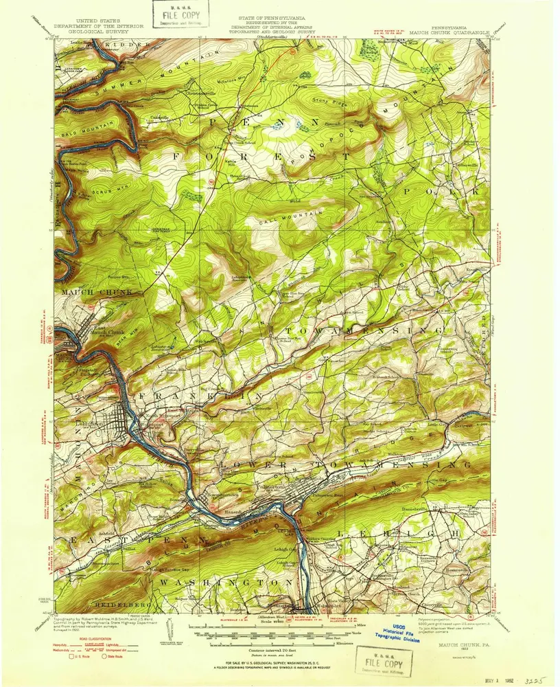
Mauch Chunk
1924
1:63k
Mauch Chunk
1924
1:63k
Mauch Chunk
1924
1:63k
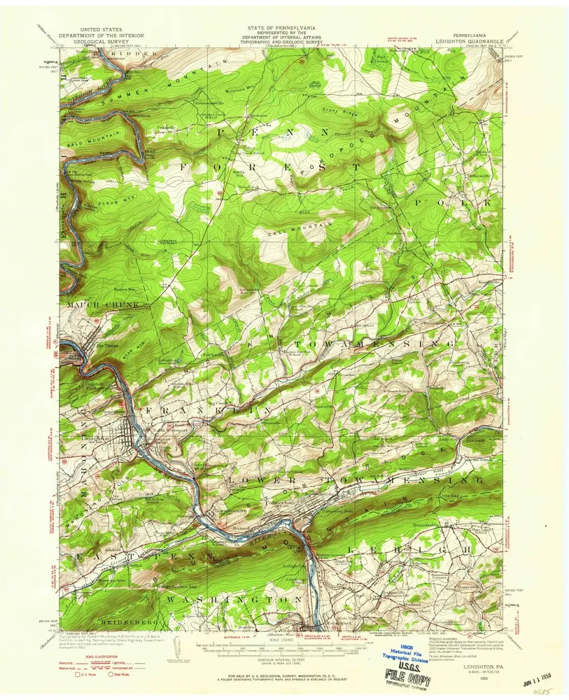
Lehighton
1922
1:63k
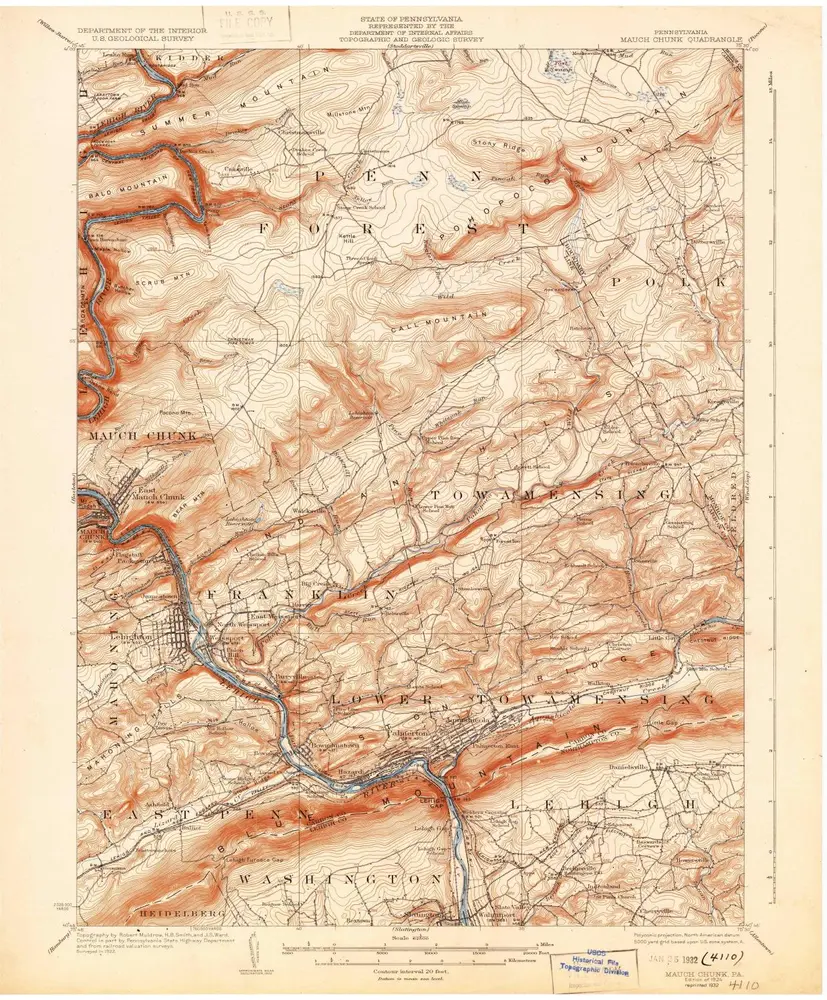
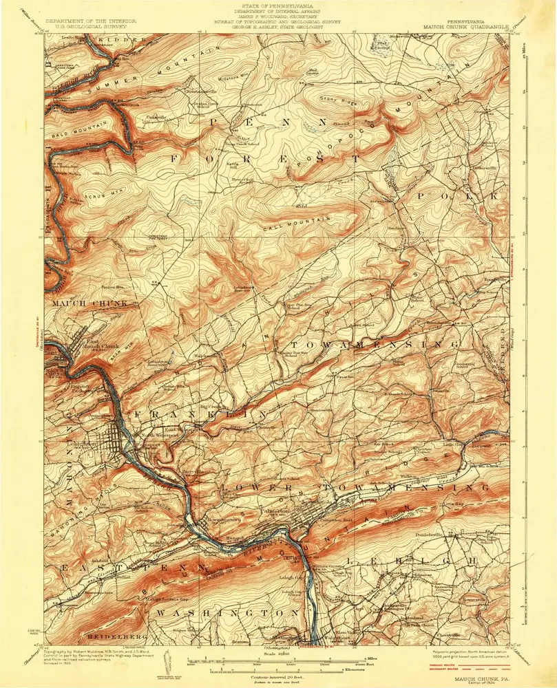
Mauch Chunk
1922
1:63k
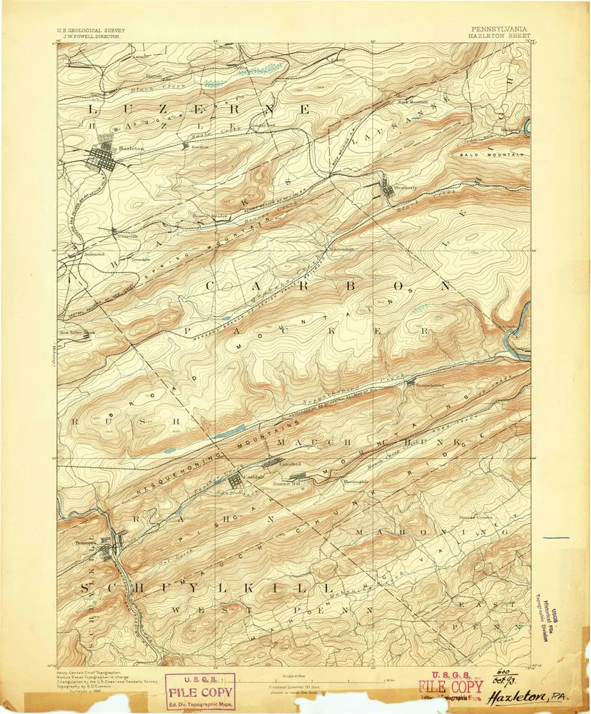
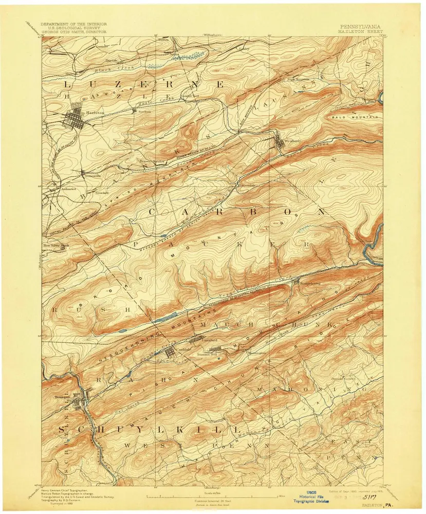
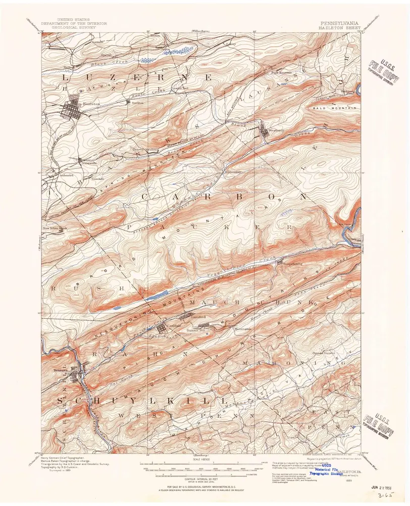
Hazleton
1893
1:63k
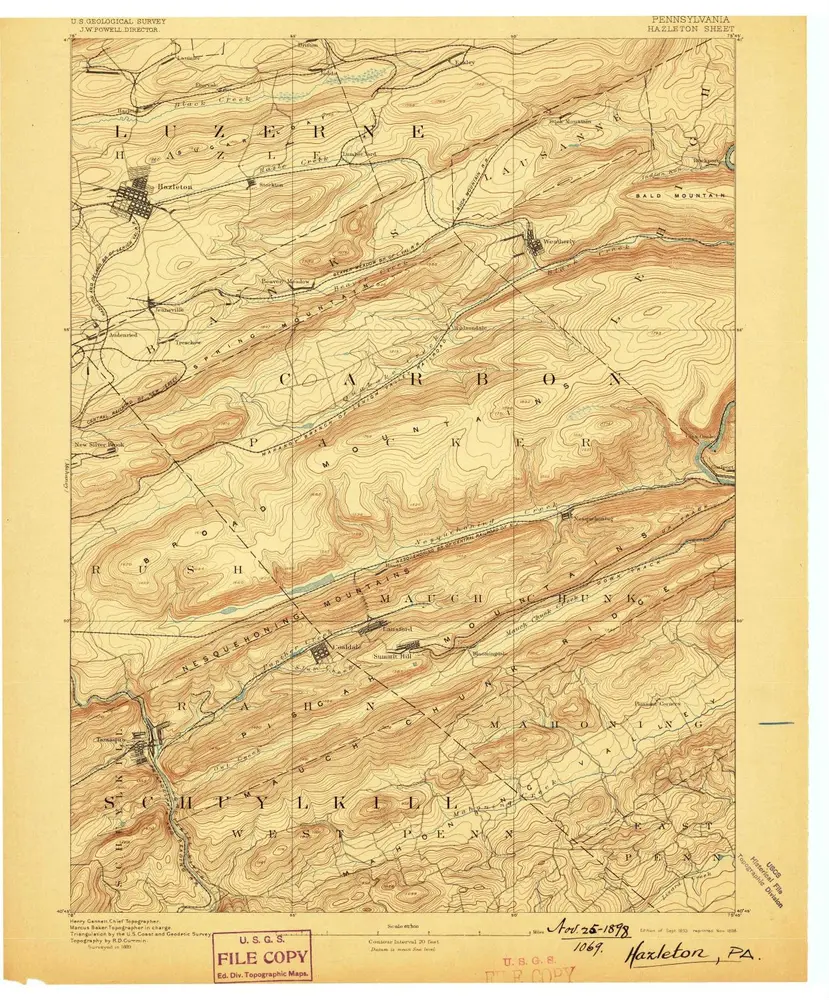
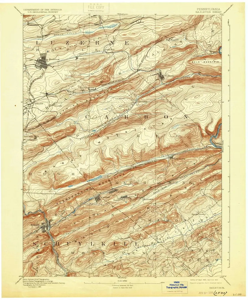
Hazleton
1893
1:63k
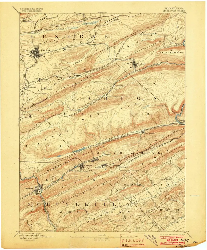
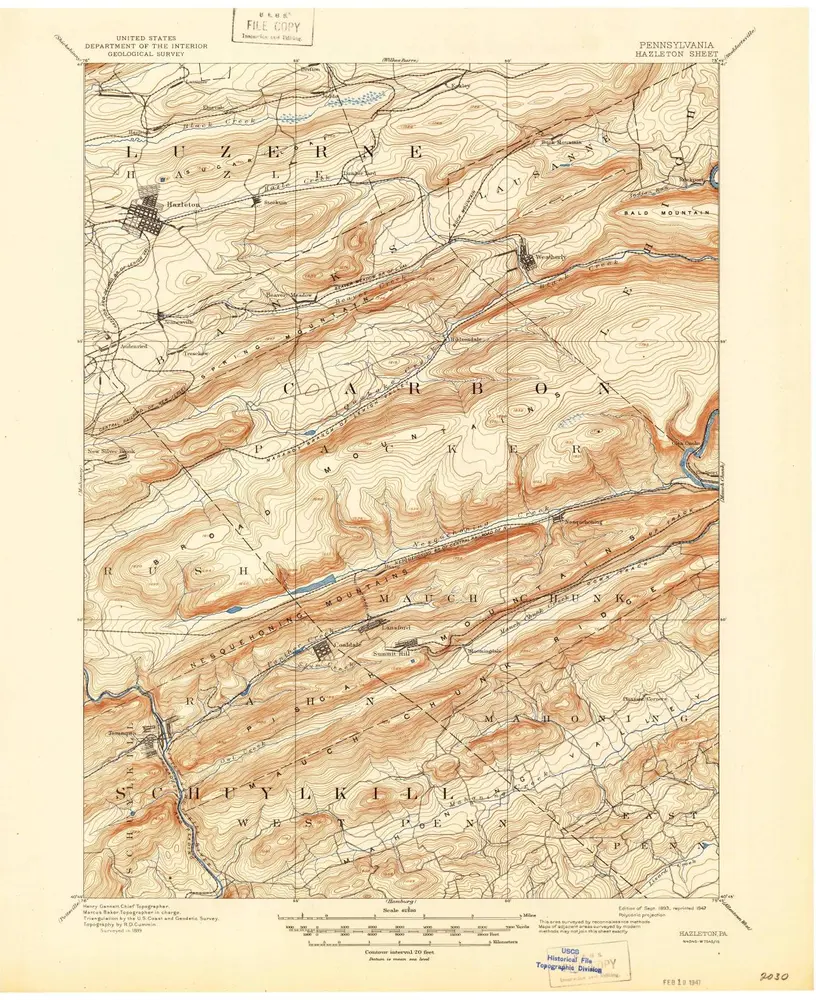
Hazleton
1893
1:63k
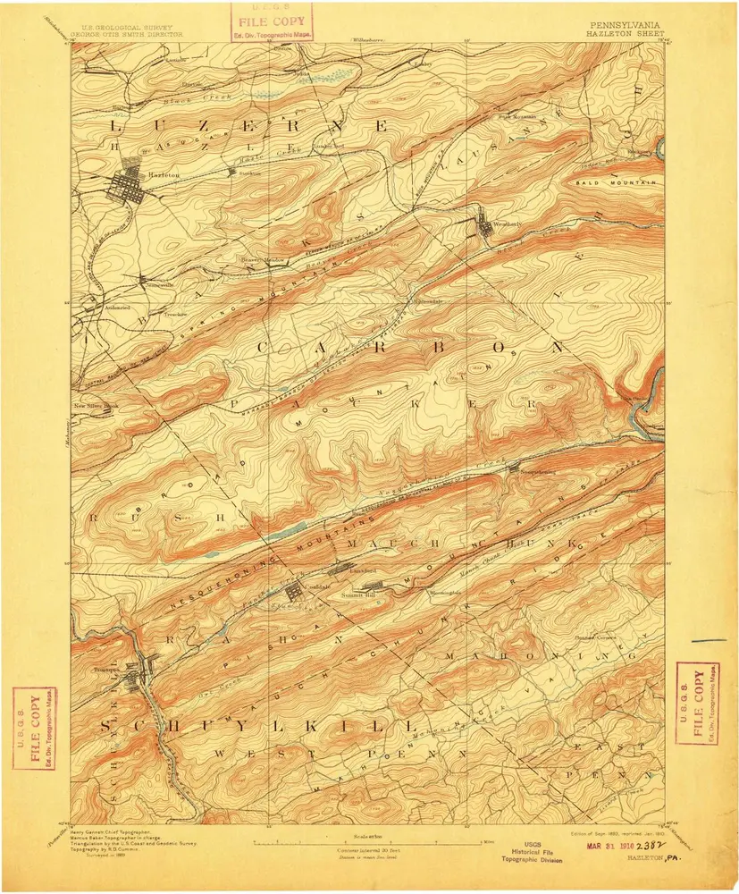
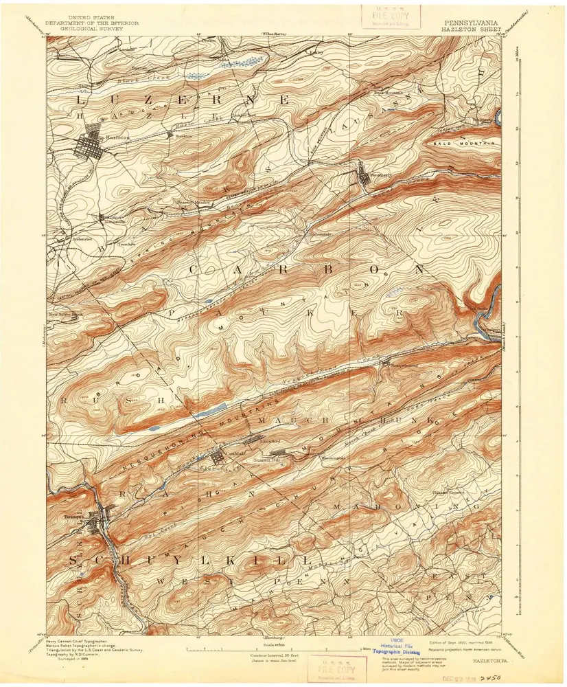
Hazleton
1893
1:63k
Hazleton
1893
1:63k
Hazleton
1893
1:63k
Hazleton
1893
1:63k
Hazleton
1893
1:63k
Hazleton
1891
1:63k
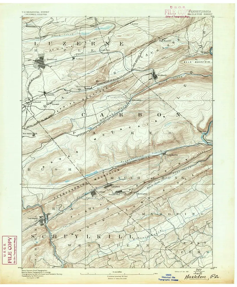
Hazleton
1889
1:63k