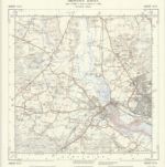
Carte cataloguée
Wiltshire LXXVI.NE - OS Six-Inch Map
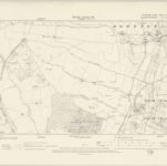

Institution:National Library of Scotland
Titre complet:Wiltshire LXXVI.NE - OS Six-Inch Map
Année de l'image:1899
Date de publication:1901
Éditeur:Ordnance Survey
Échelle de la carte:1:10 560
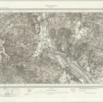
Southampton (Hills) - OS One-Inch Revised New Series
1893
Ordnance Survey
1:63k
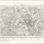
Southampton (Outline) - OS One-Inch Revised New Series
1893
Ordnance Survey
1:63k
Map of Hampshire, including the Isle of Wight, 5
1759
s.n.
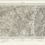
Ringwood (Hills) - OS One-Inch Revised New Series
1902
Ordnance Survey
1:63k
Ringwood (Outline) - OS One-Inch Revised New Series
1894
Ordnance Survey
1:63k
Lymington (Outline) - OS One-Inch Revised New Series
1893
Ordnance Survey
1:63k
Lymington (Hills) - OS One-Inch Revised New Series
1893
Ordnance Survey
1:63k
Bournemouth - OS One-Inch Map
1956
Ordnance Survey
1:63k
Map of Hampshire, including the Isle of Wight, 3
1759
s.n.
SU31 - OS 1:25,000 Provisional Series Map
1938
Ordnance Survey
1:25k