Projekt
Wspólnota
Aktualności
Moja aplikacja
Moje mapy
Carte cataloguée
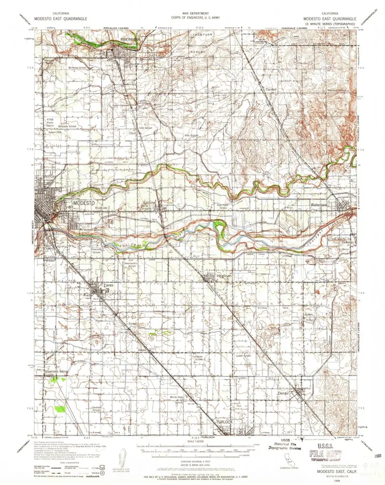
Modesto East
Wyświetlanie na zewnętrznej stronie internetowej
Institution:
United States Geological Survey
Titre complet:
Modesto East
Année de l'image:
1939
Date de publication:
1965
Échelle de la carte:
1:62 500
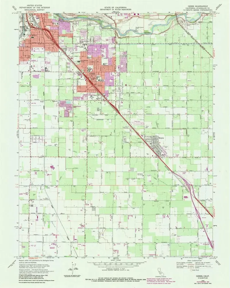
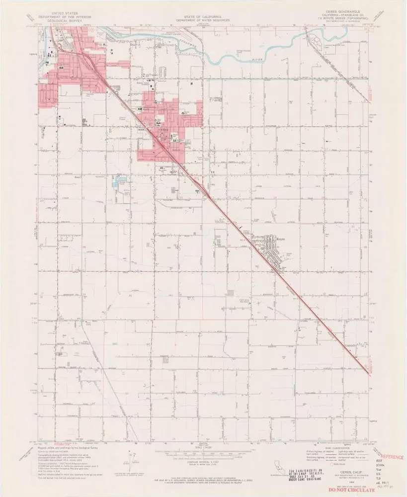
Ceres
1969
1:24k
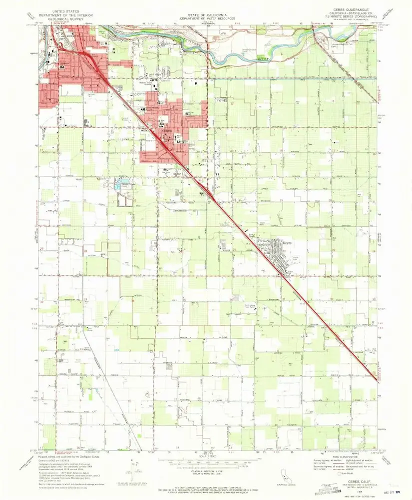
Ceres
1969
1:24k
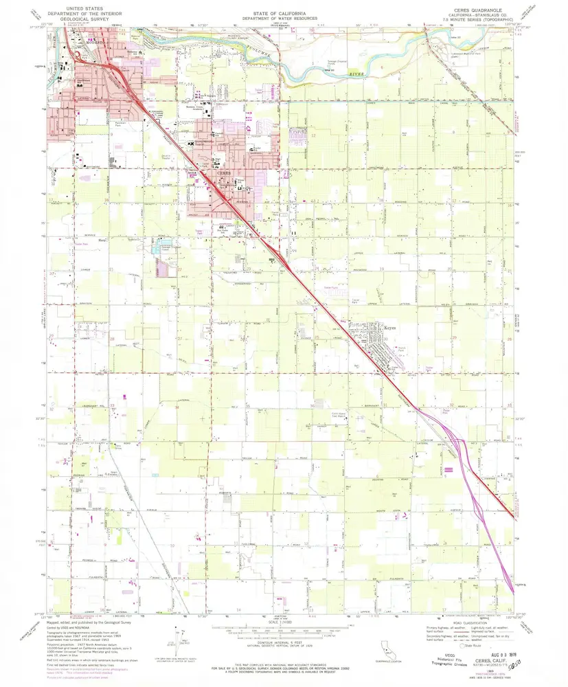
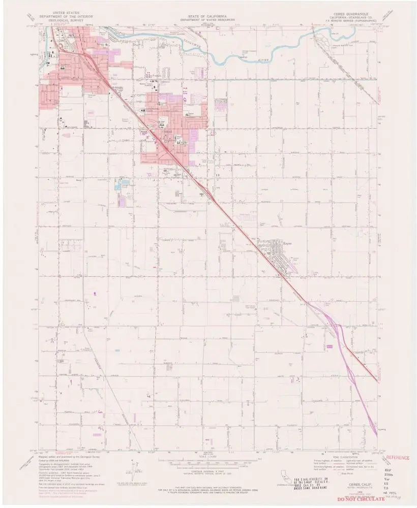
Ceres
1969
1:24k
Ceres
1969
1:24k
Ceres
1969
1:24k
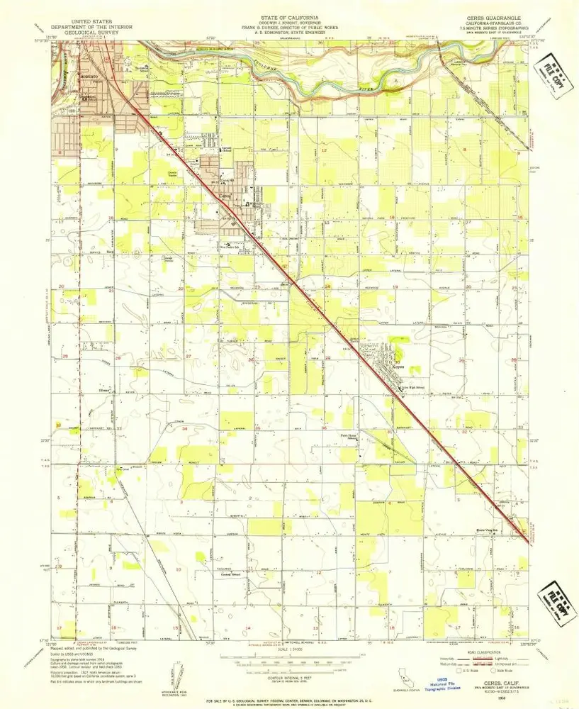
Ceres
1953
1:24k
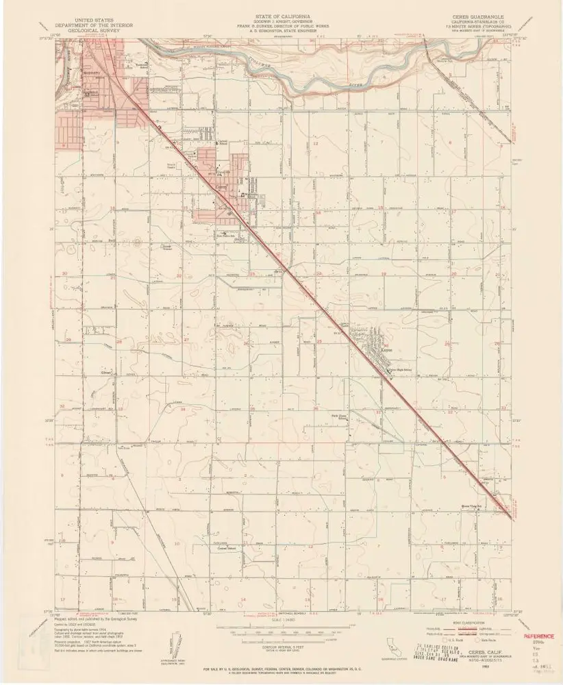
Ceres
1953
1:24k
Ceres
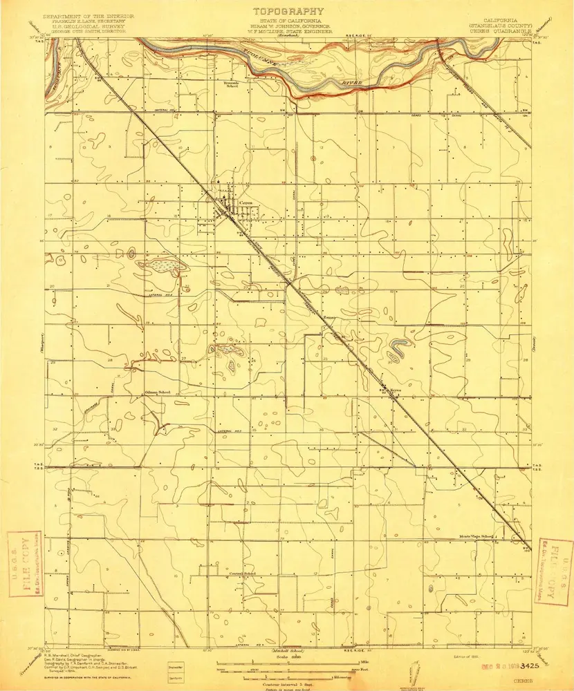
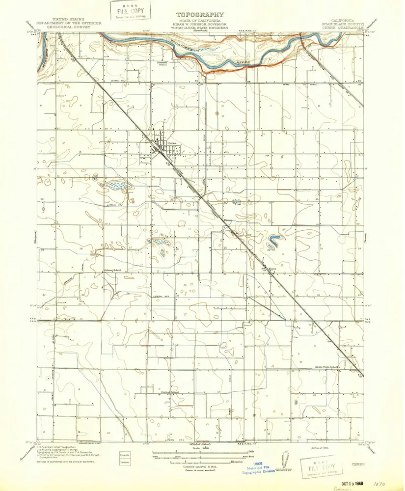
1916
1:32k
Ceres
1916
1:32k
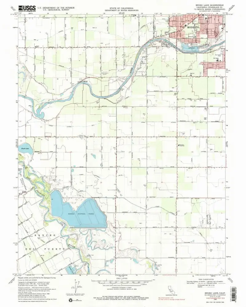
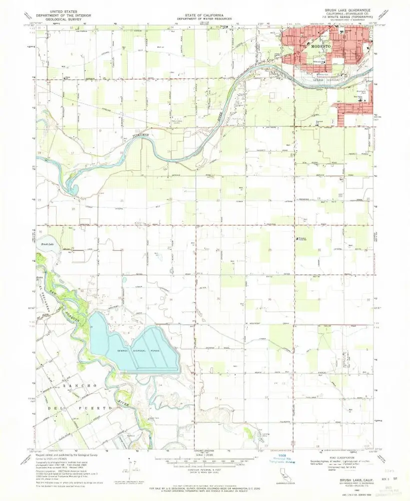
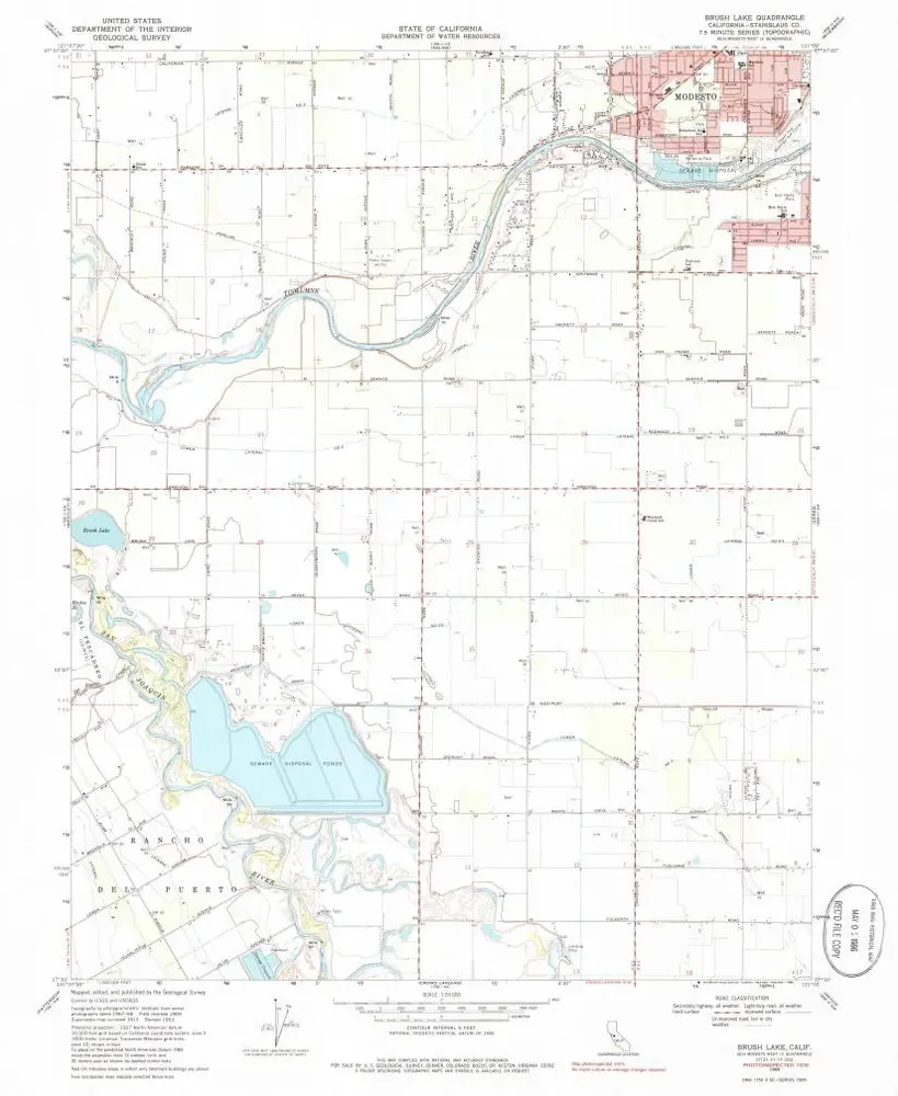
Brush Lake
1969
1:24k
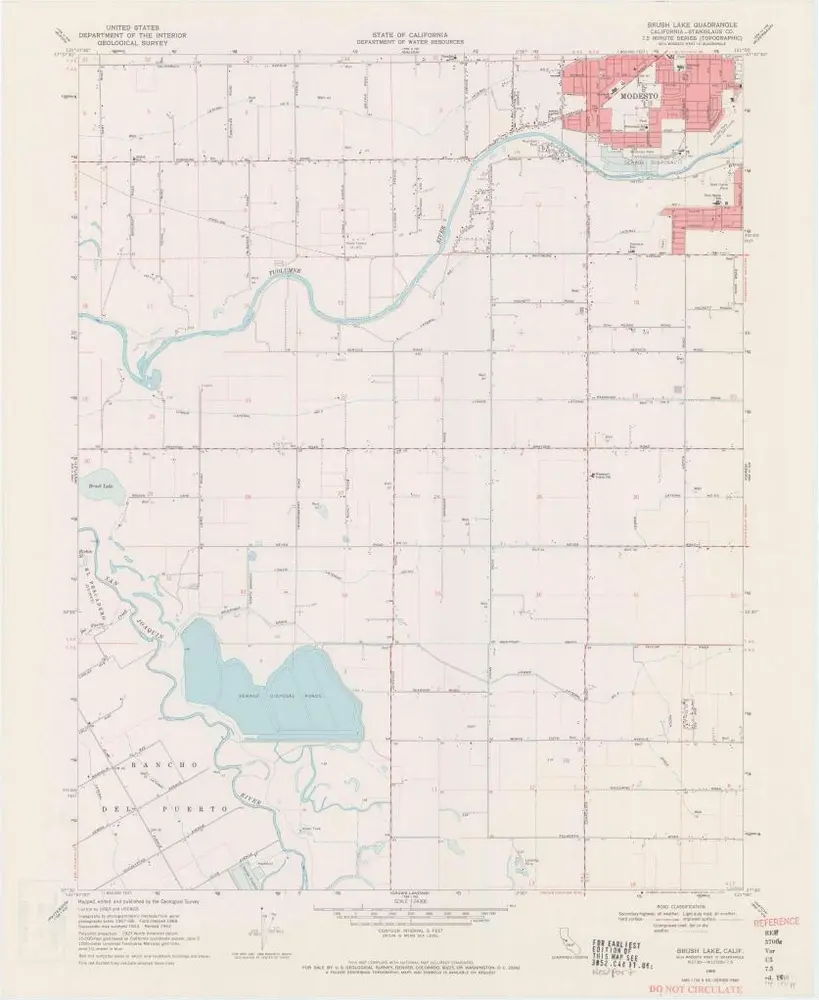
Brush Lake
1969
1:24k
Brush Lake
1969
1:24k
Brush Lake
1969
1:24k
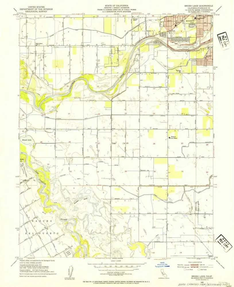
Brush Lake
1953
1:24k
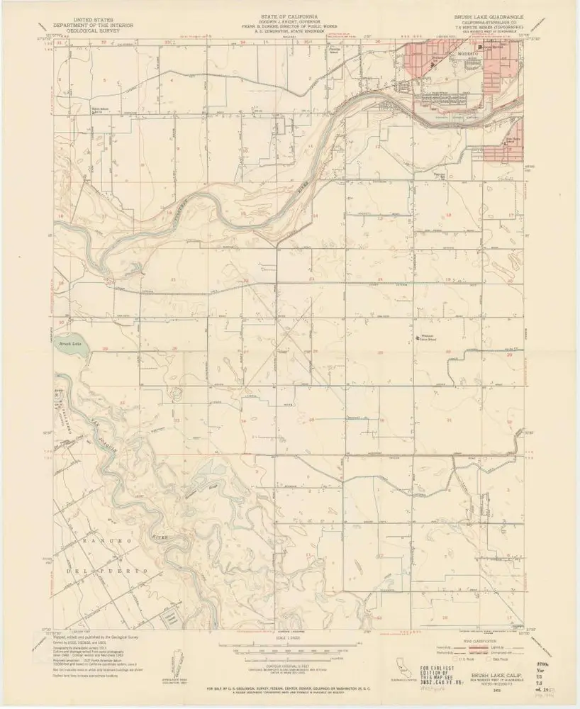
Brush Lake
1953
1:24k
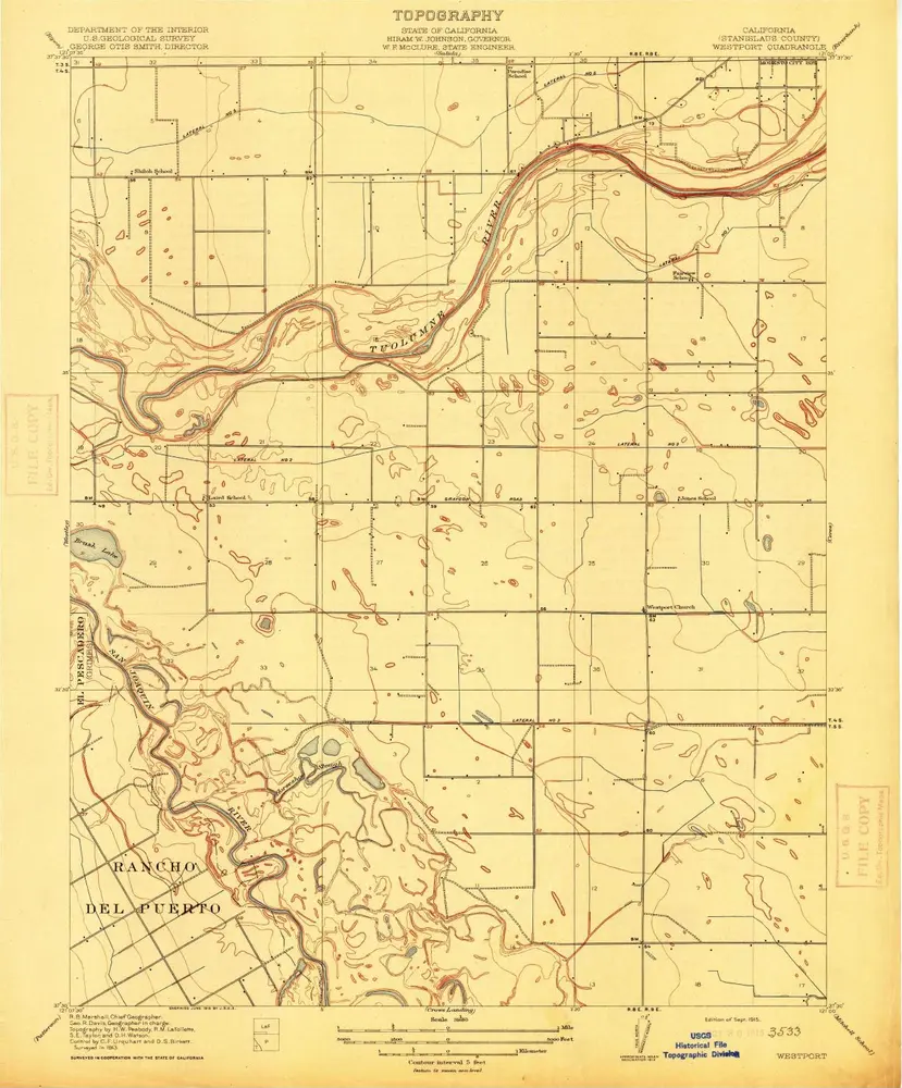
Westport
1915
1:32k
L'histoire