Cataloged map
Sheet 27: Grid #20000E - 24000E, #7000N - 11000N. [Includes Goose Island, Givans Creek (Co-Op. City, Bay Plaza) and Pelham Bay Park.]
Full title:Sheet 27: Grid #20000E - 24000E, #7000N - 11000N. [Includes Goose Island, Givans Creek (Co-Op. City, Bay Plaza) and Pelham Bay Park.]
Depicted:1905
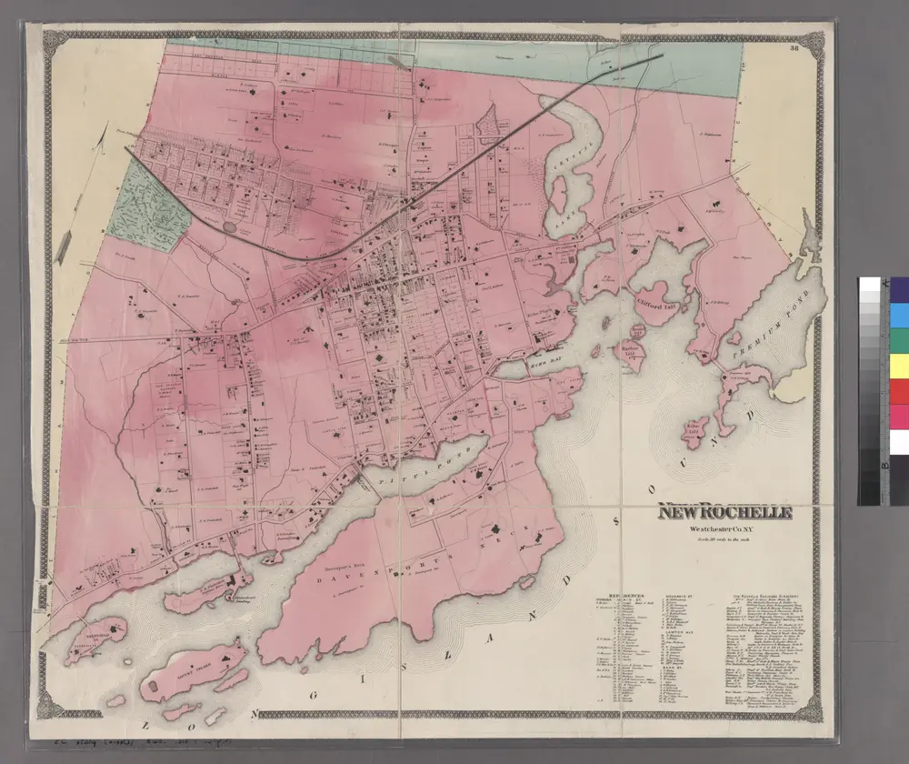
Plate 38: New Rochelle, Westchester Co. N.Y.
1868
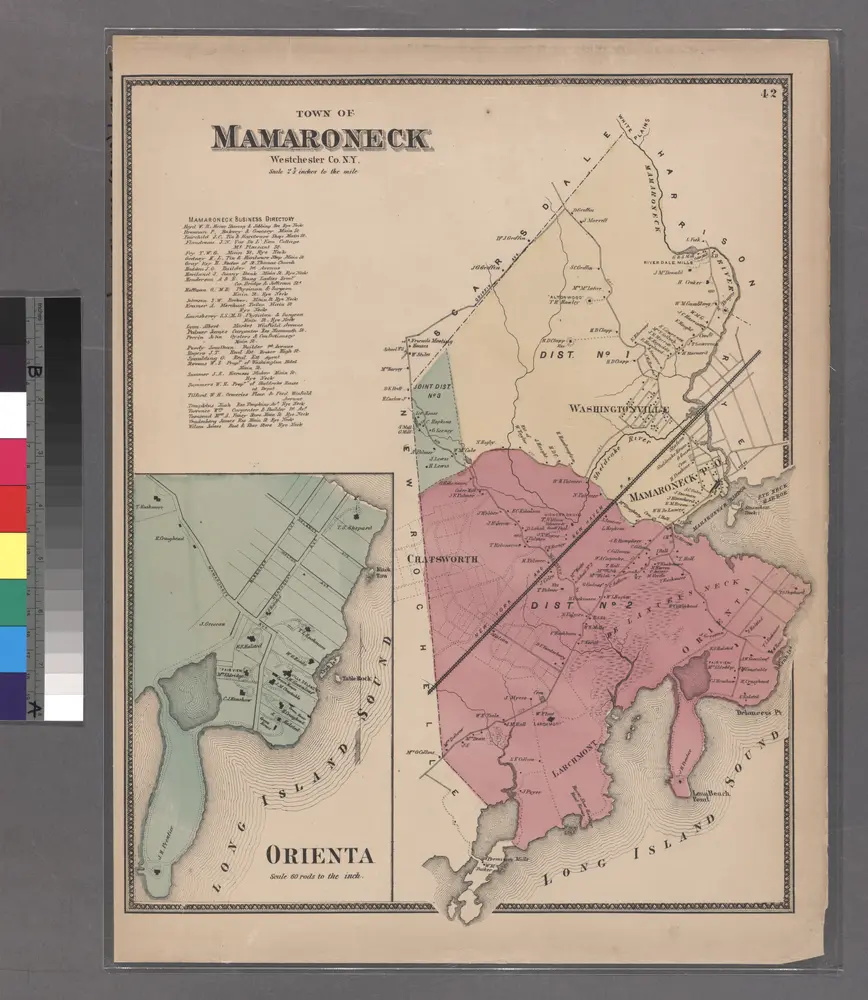
Plate 42: Town of Mamaroneck, Westchester Co. N.Y. - Orienta.
1868
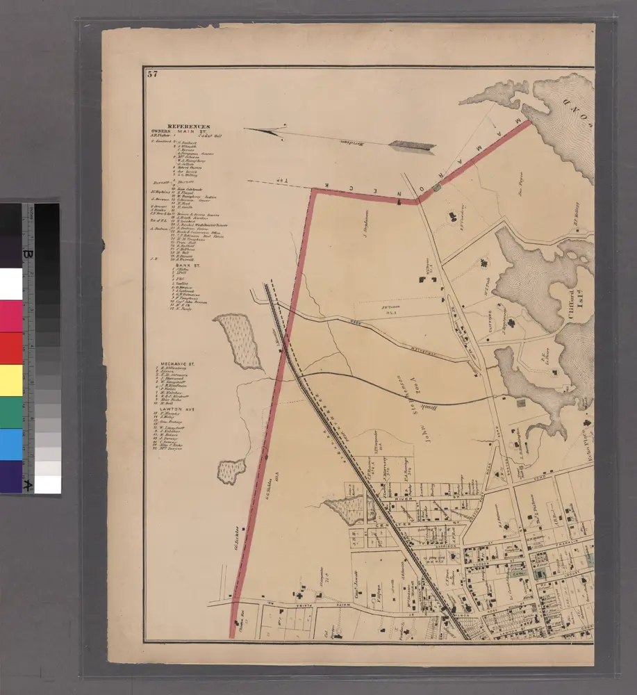
Plates 57 & 58: Part of New Rochelle, Westchester Co. N.Y.
1872
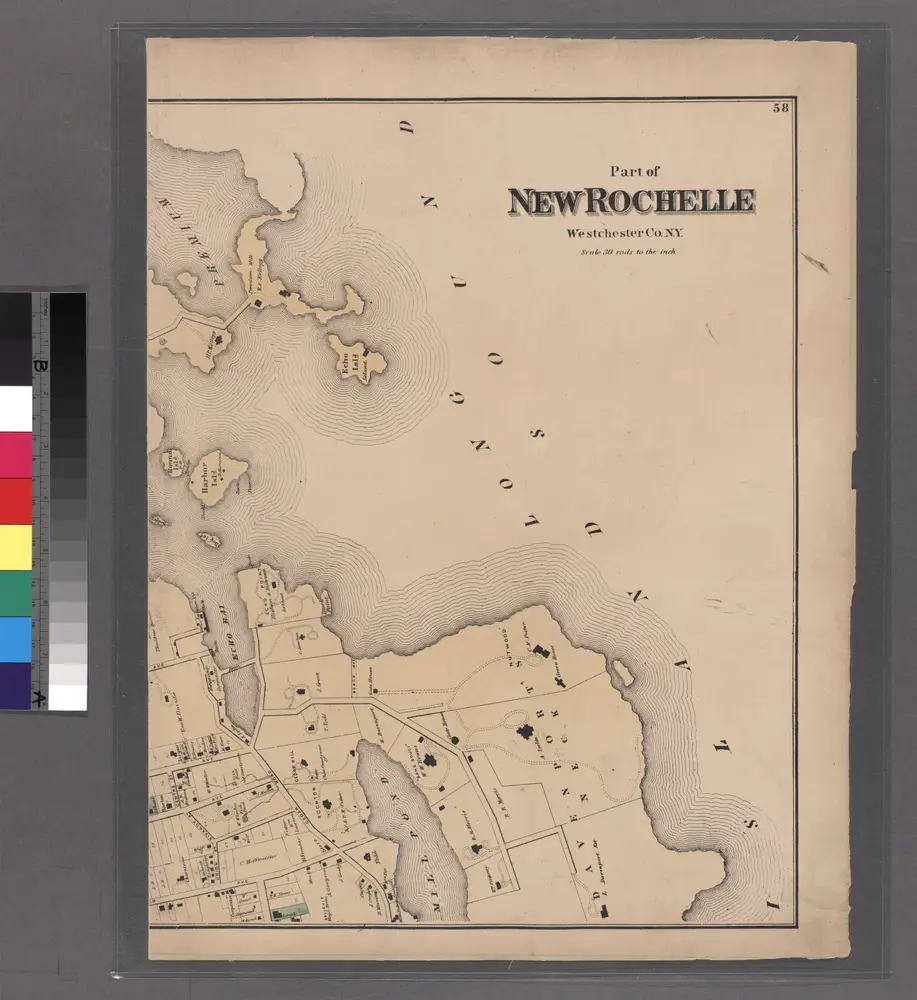
Plates 57 & 58: Part of New Rochelle, Westchester Co. N.Y.
1872
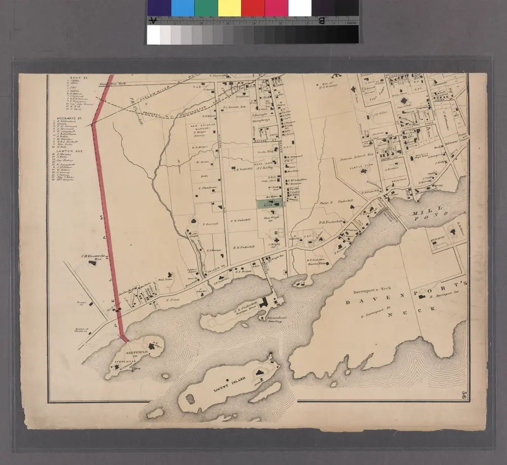
Plate 55 & 56: Part of New Rochelle, Westchester Co. N.Y.
1872
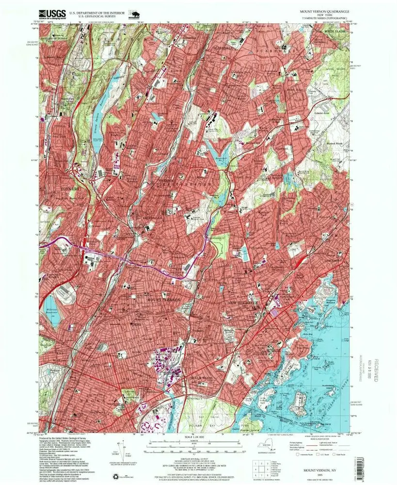
Mount Vernon
1995
1:24k
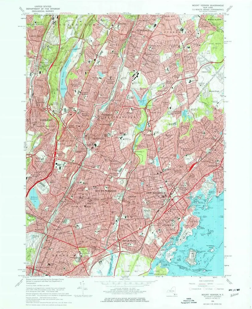
Mount Vernon
1966
1:24k
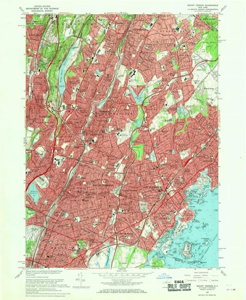
Mount Vernon
1966
1:24k
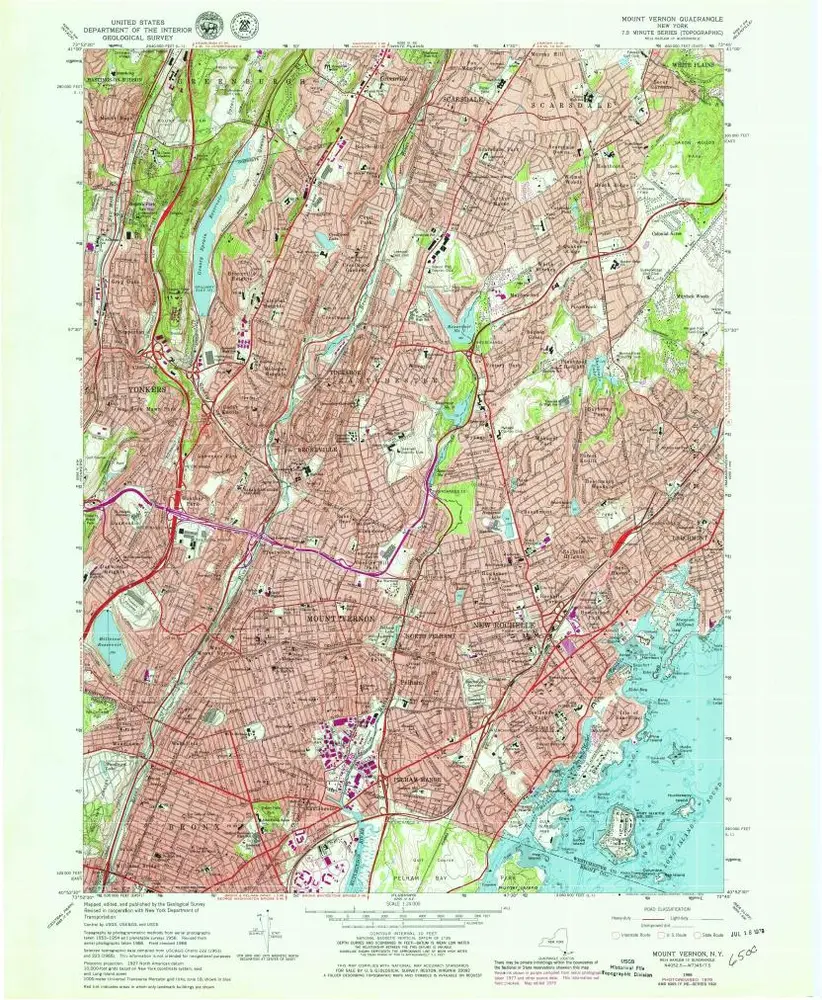
Mount Vernon
1966
1:24k
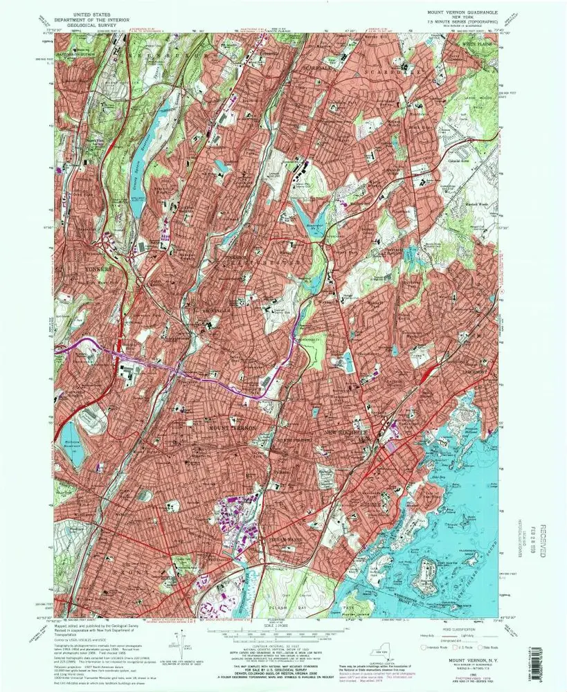
Mount Vernon
1966
1:24k
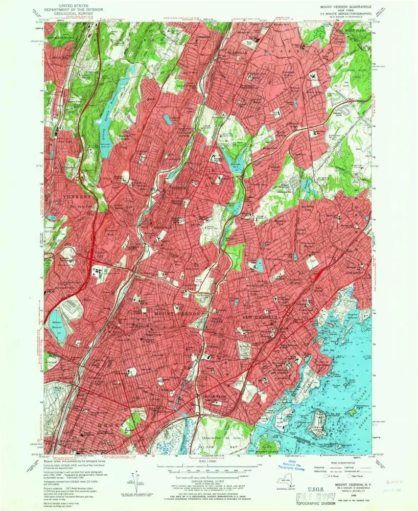
Mount Vernon
1956
1:24k
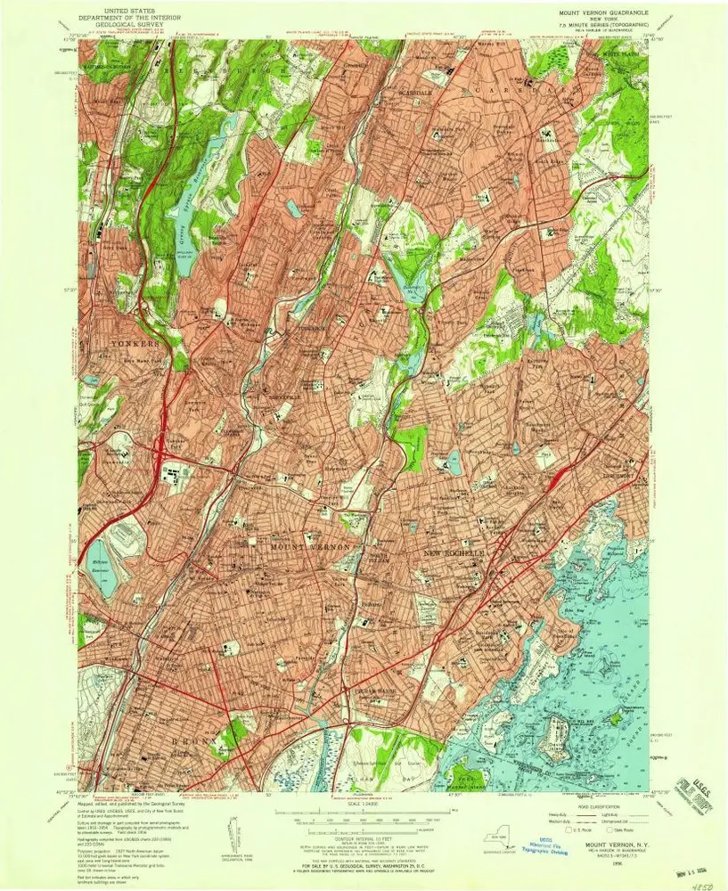
Mount Vernon
1956
1:24k
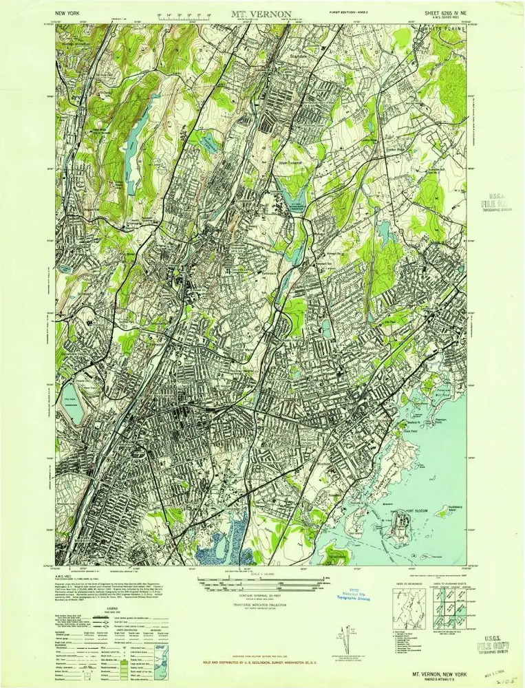
Mt Vernon
1947
1:24k


