Projekt
Wspólnota
Aktualności
Moja aplikacja
Moje mapy
Katalogisierte Karte
Brandywine
Wyświetlanie na zewnętrznej stronie internetowej
Zobacz zdigitalizowane
Einrichtung:
United States Geological Survey
Vollständiger Titel:
Brandywine
Jahr der Abbildung:
1895
Veröffentlichungsdatum:
1899
Maßstab der Karte:
1:62 500
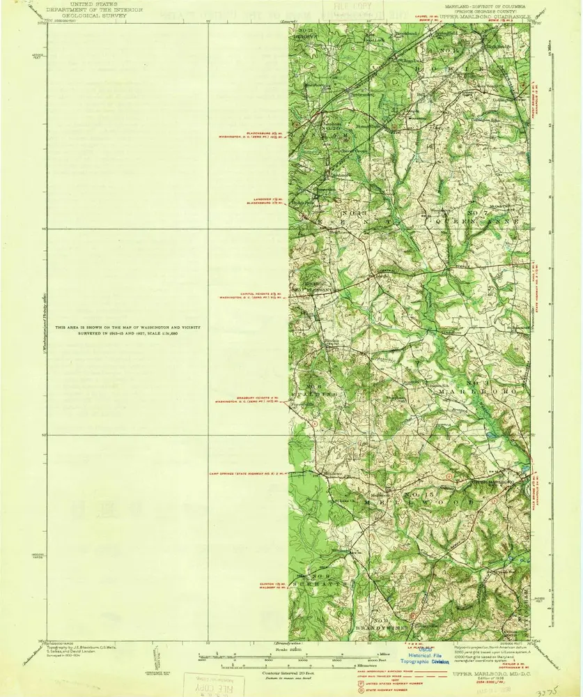
Upper Marlboro
1938
1:63k
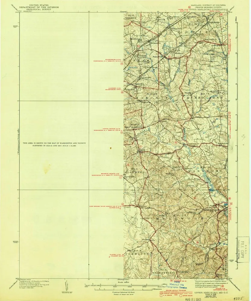
Upper Marlboro
1938
1:63k
Upper Marlboro
1938
1:63k
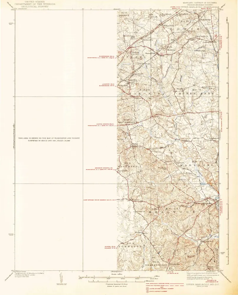
Upper Marlboro
1937
1:63k
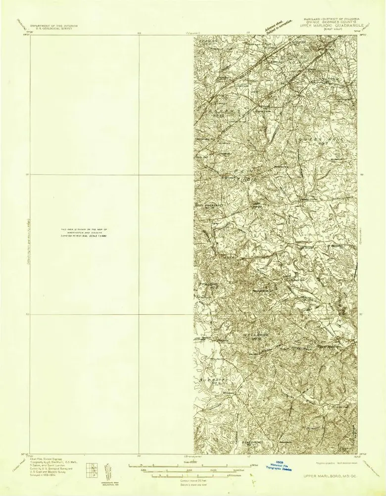
Upper Marlboro (east half)
1934
1:48k
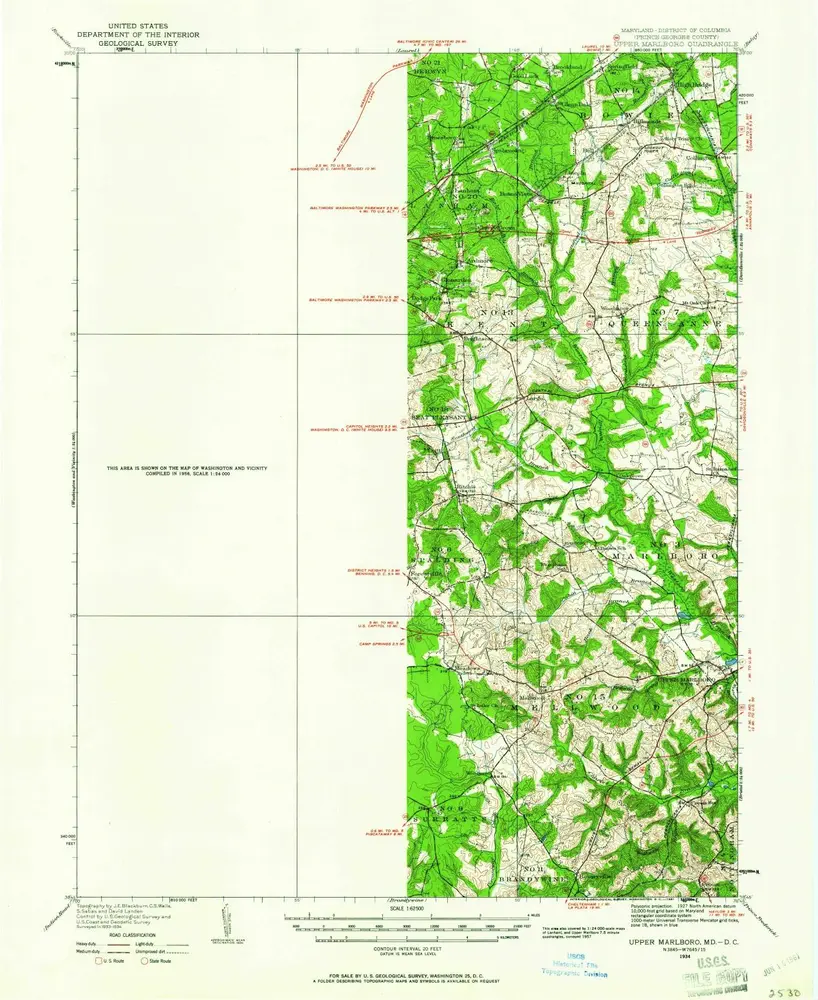
Upper Marlboro
1934
1:63k
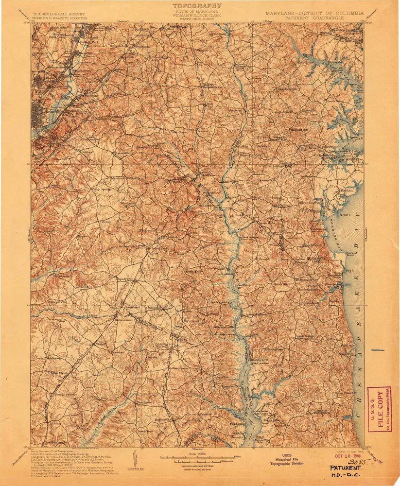
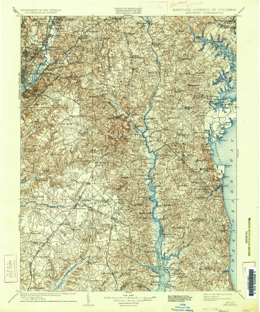
Patuxent
1906
1:125k
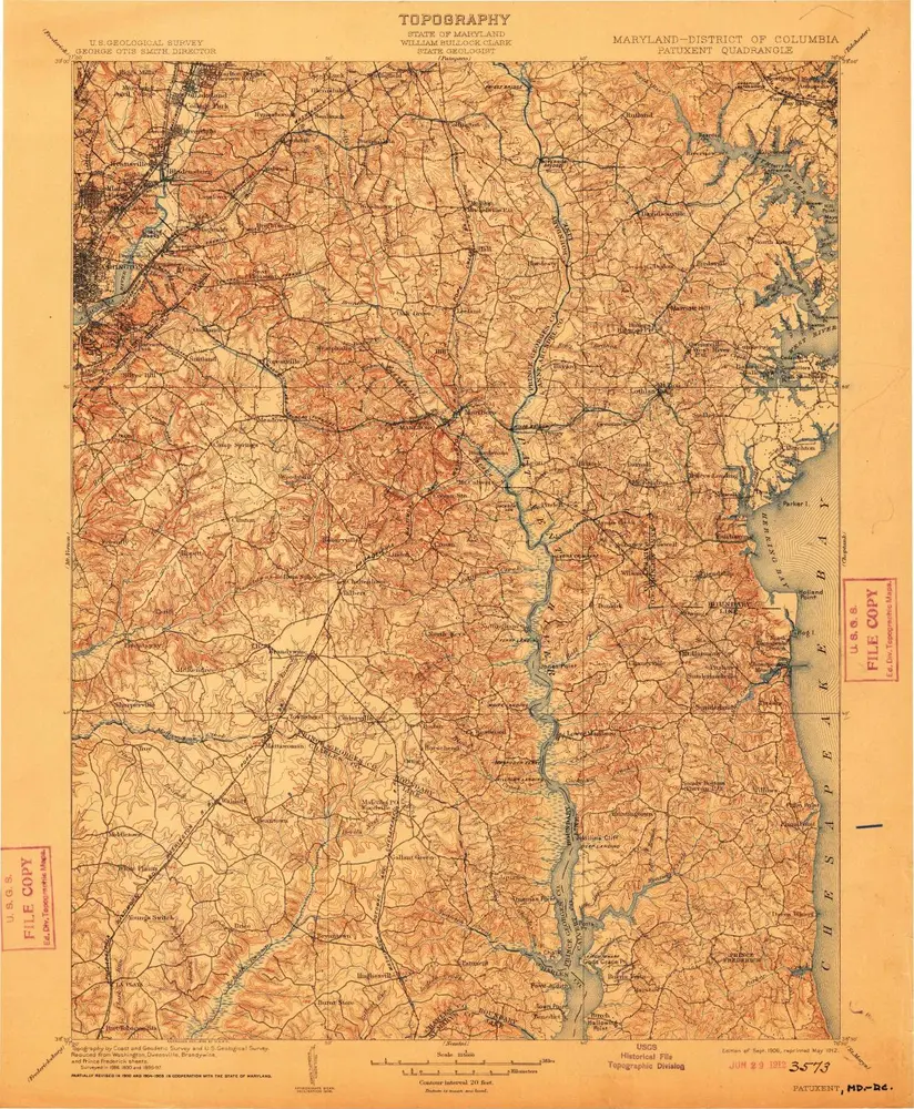
Patuxent
1906
1:125k
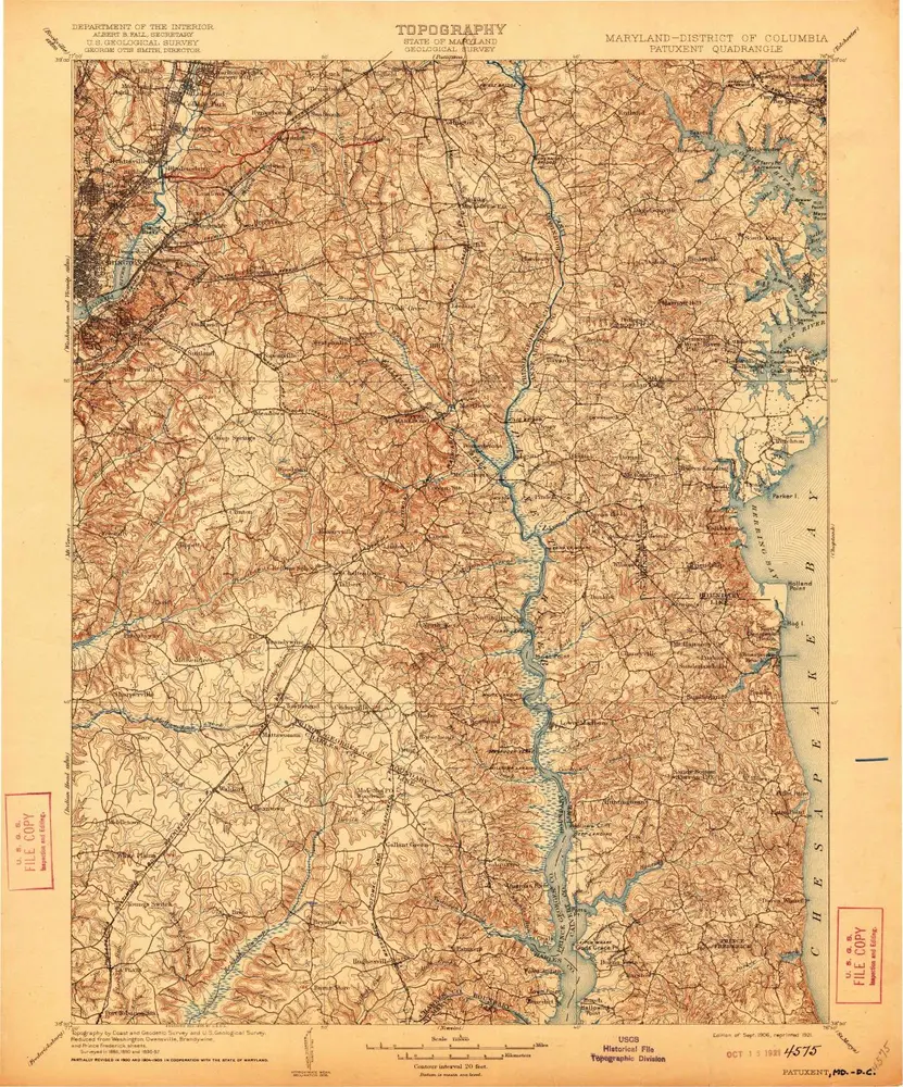
Patuxent
1906
1:125k
Patuxent
1906
1:125k
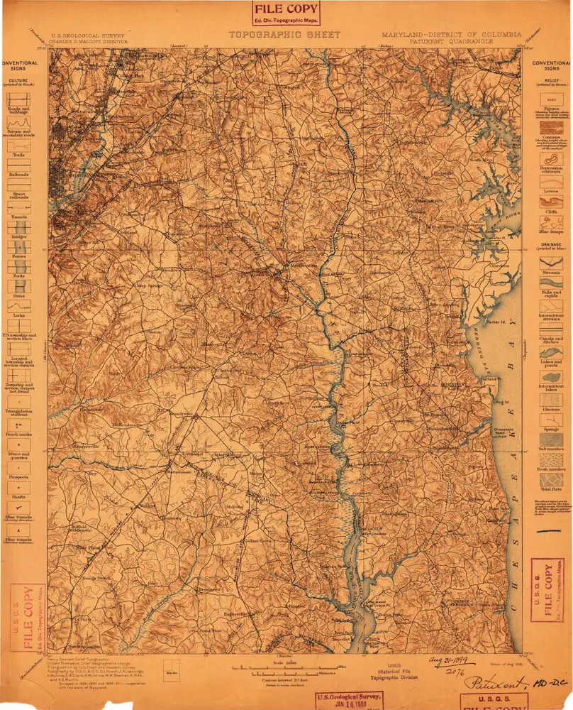
Patuxent
1899
1:125k
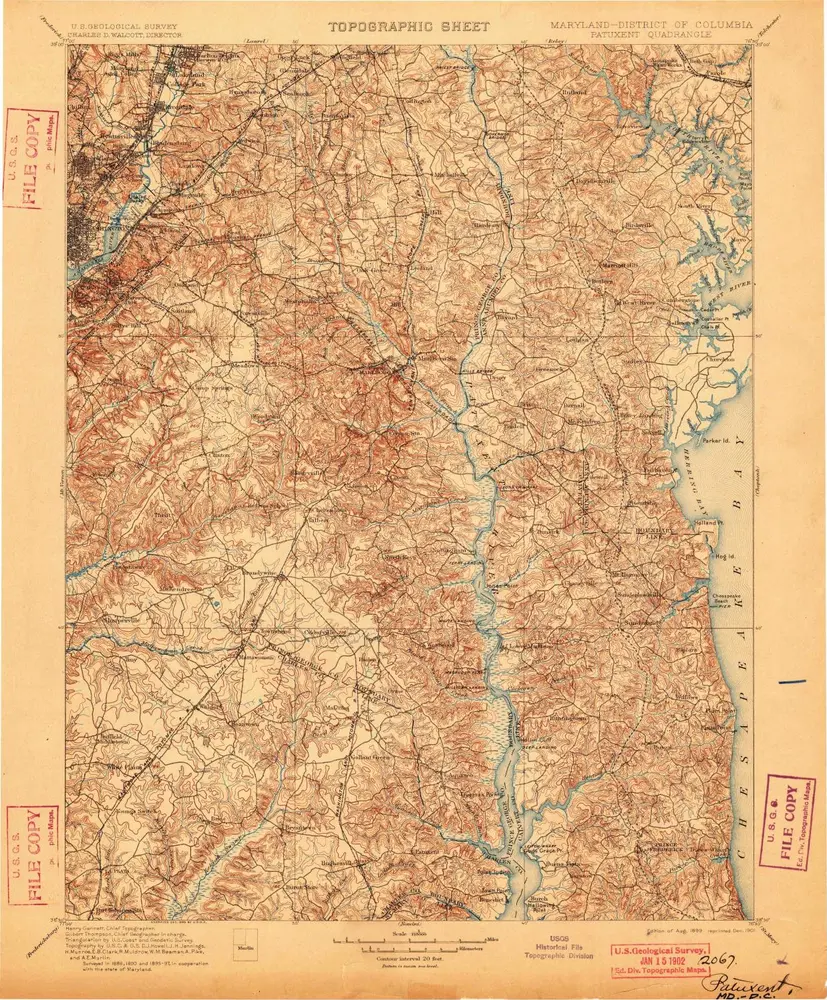
Patuxent
1899
1:125k
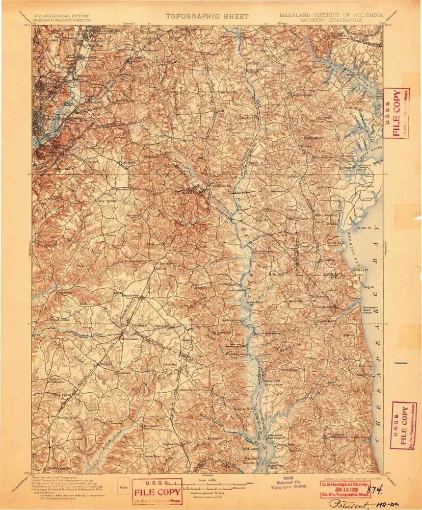
Patuxent
1899
1:125k
Geschichte