Skatalogowana mapa
This topographical map of the Districts of Quebec, Three Rivers, St. Francis and Gaspe, Lower Canada.

Instytucja:The David Rumsey Map Collection
Pełny tytuł:This topographical map of the Districts of Quebec, Three Rivers, St. Francis and Gaspe, Lower Canada.
Rok ilustracji:1831
Data publikacji:1831
Wydawca:James Wyld
Skala mapy:1:174 240
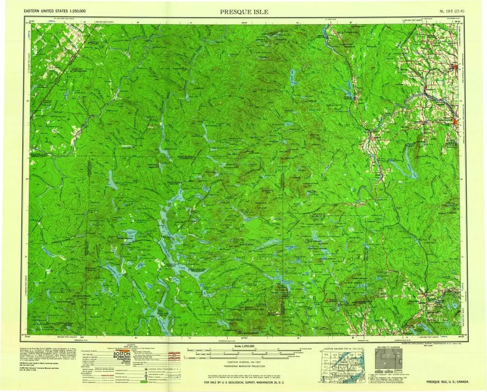
Presque Isle
1960
1:250k
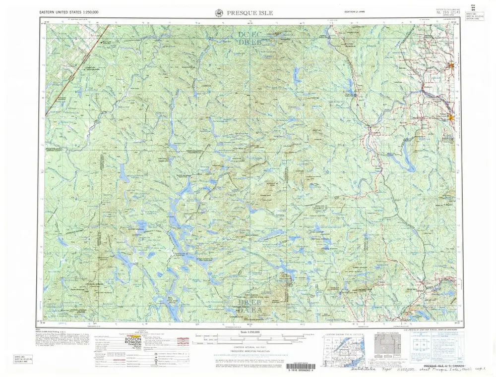
Presque Isle
1960
1:250k
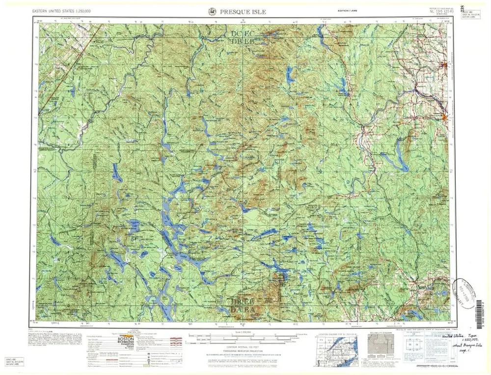
Presque Isle
1960
1:250k
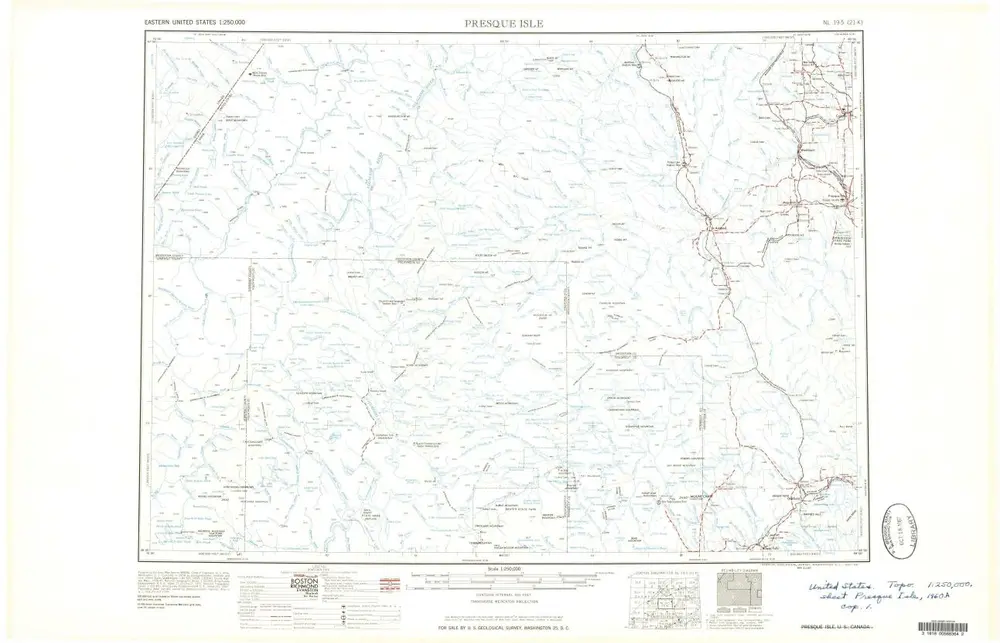
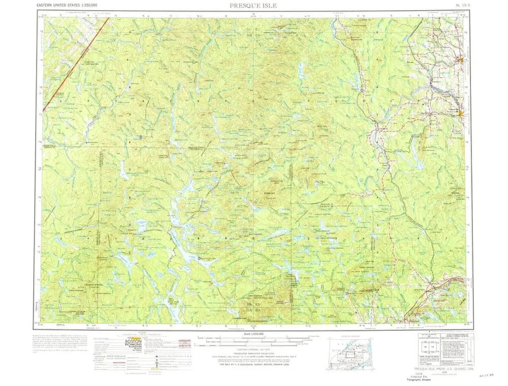
Presque Isle
1958
1:250k
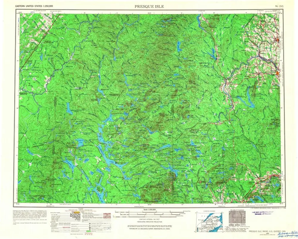
Presque Isle
1954
1:250k
Presque Isle
1954
1:250k
Map of Moosehead Lake and northern Maine : embracing the headwaters of the Penobscot, Kennebec and St. John rivers, specially adapted to the uses of sportsmen and lumbermen
1879
Hubbard, Lucius L. (Lucius Lee), 1849-1933
1:310k
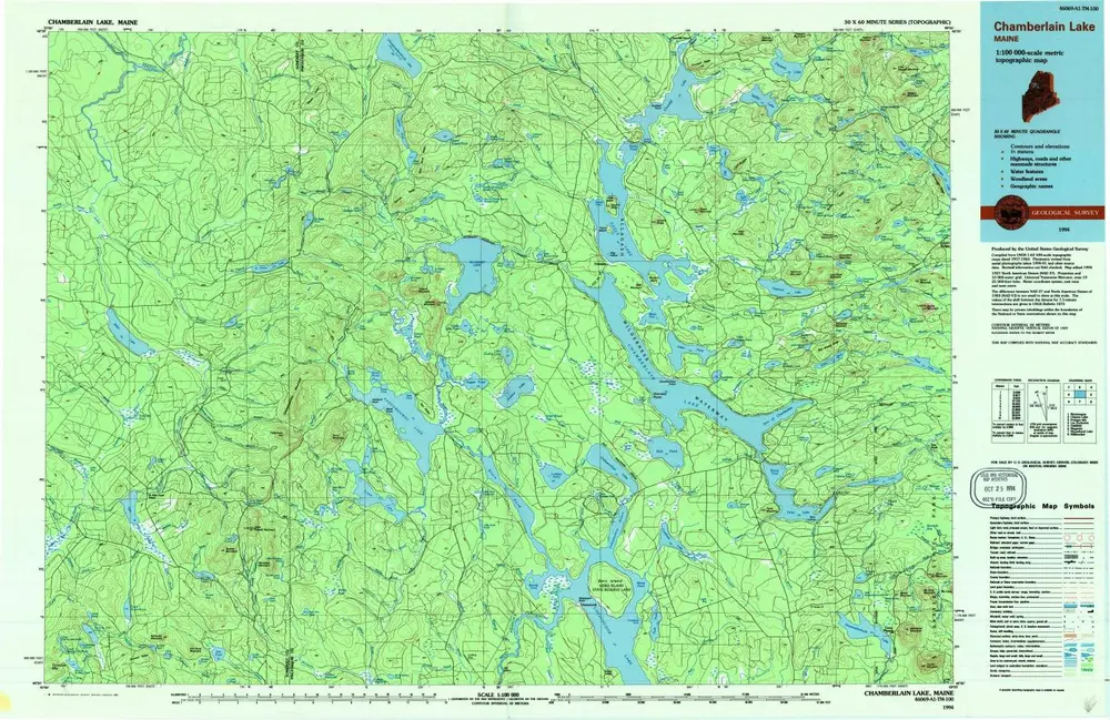
Chamberlain Lake
1994
1:100k
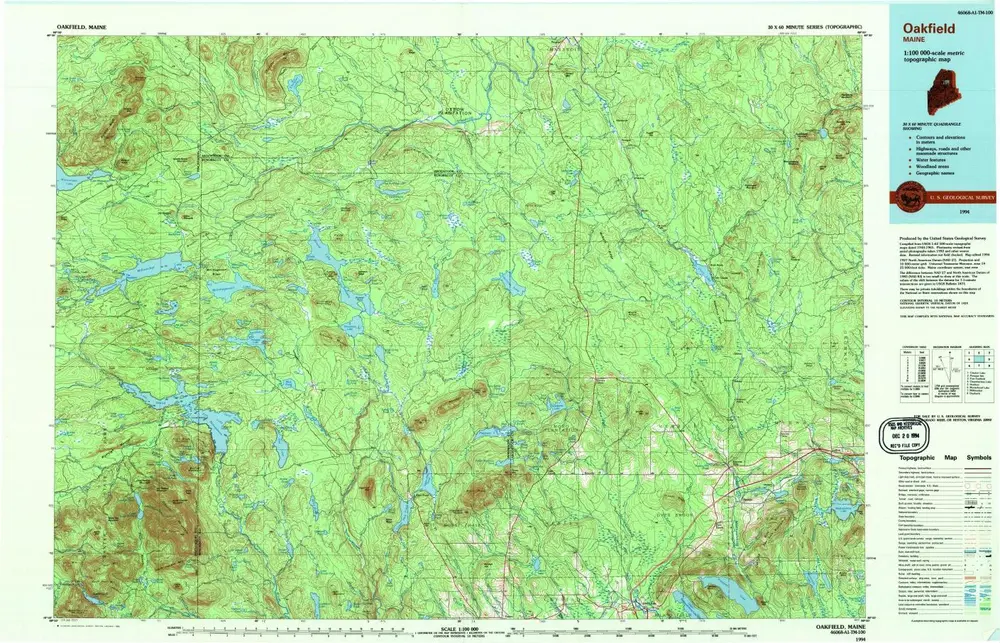
Oakfield
1994
1:100k
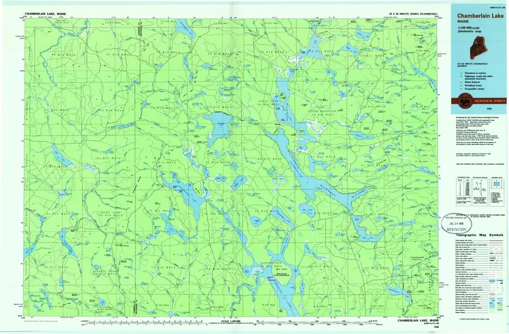
Chamberlain Lake
1986
1:100k
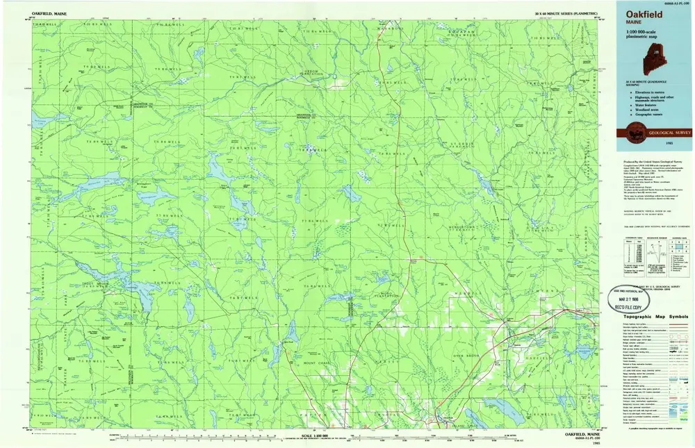
Oakfield
1985
1:100k