Gecatalogiseerde kaart
Plan de la bataille de Montmouth où le Gl. Washington commandait l'Armée Américaine et le Gl. Clinton l'Armée Anglaise, le 28 Juin 1778
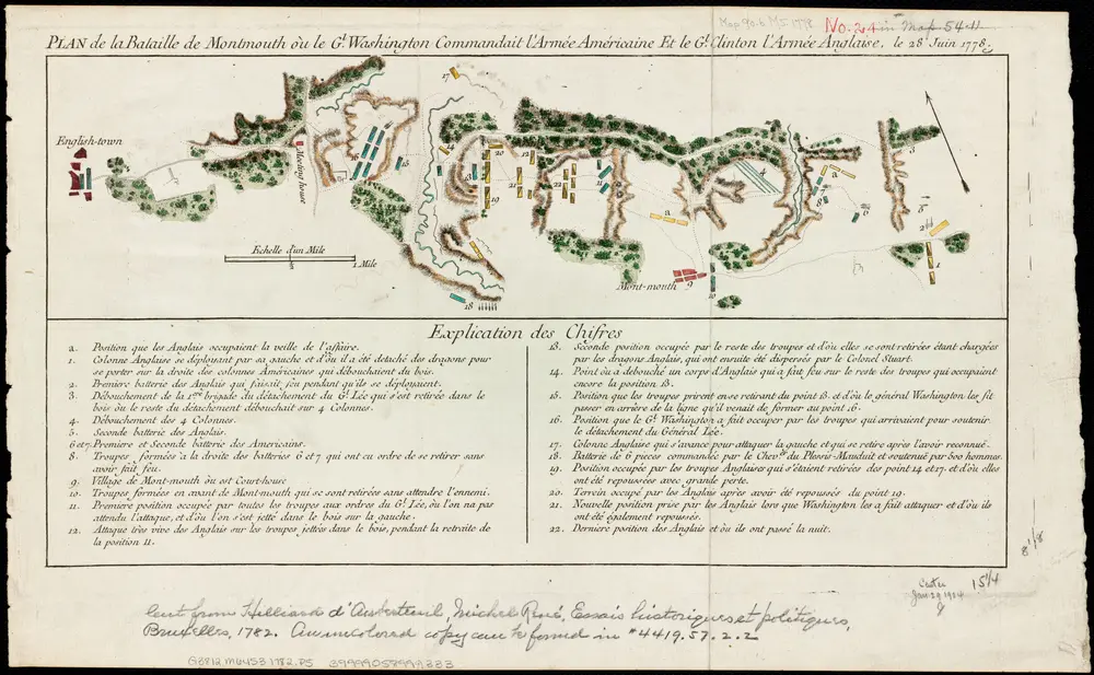

Volledige titel:Plan de la bataille de Montmouth où le Gl. Washington commandait l'Armée Américaine et le Gl. Clinton l'Armée Anglaise, le 28 Juin 1778
Jaar illustratie:1782
Uitgever:Hilliard d'Auberteuil, Michel René
Schaal kaart:1:30 500
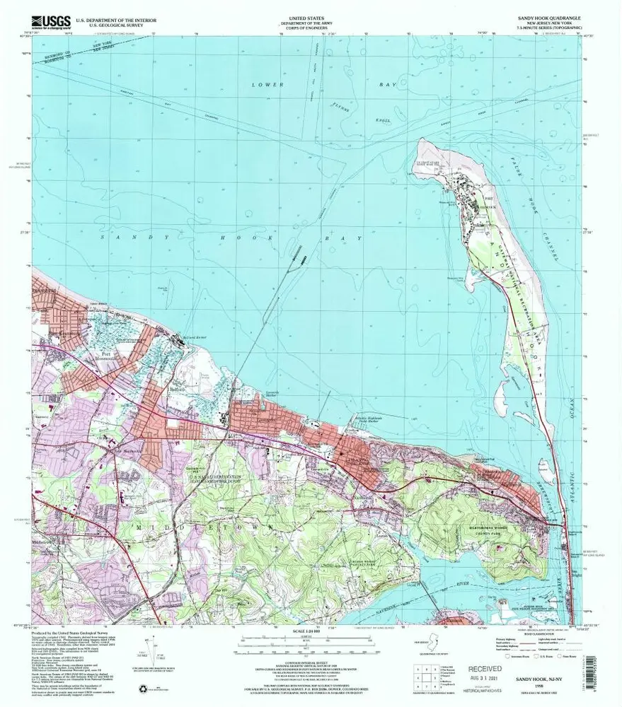
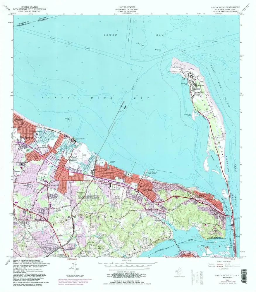
Sandy Hook
1998
1:24k
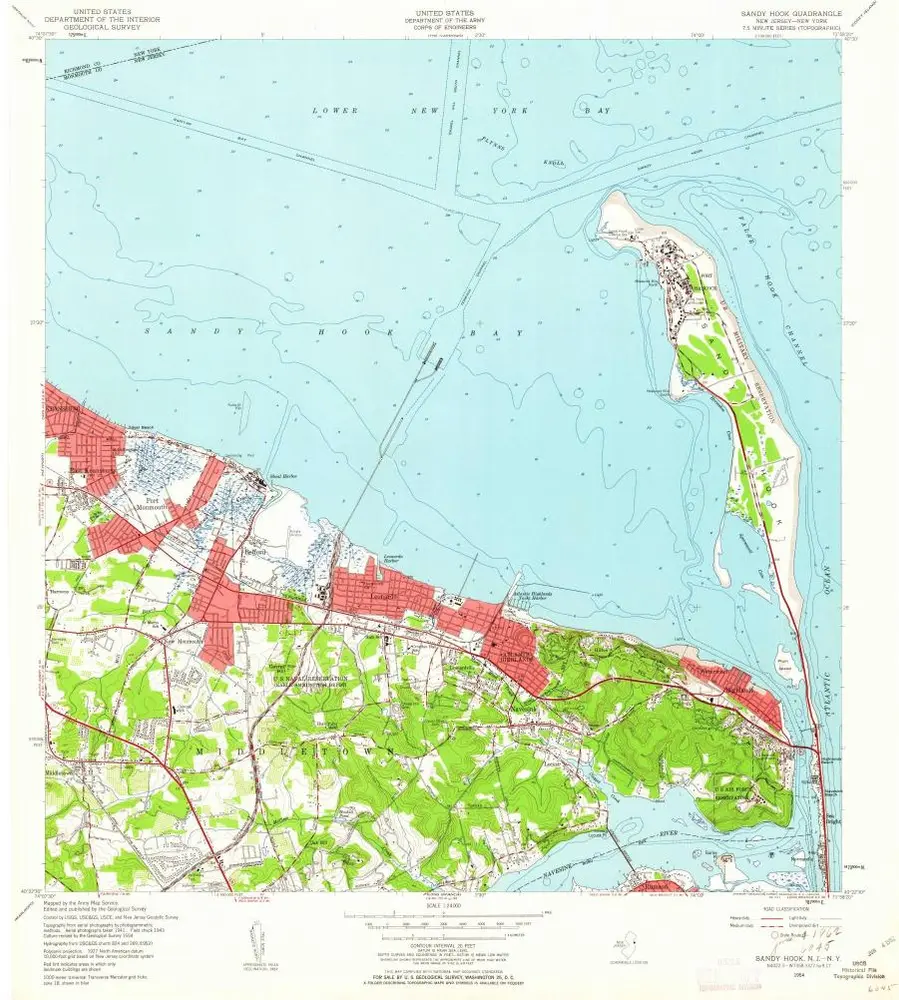
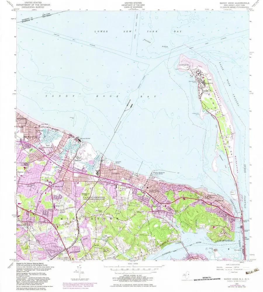
Sandy Hook
1954
1:24k
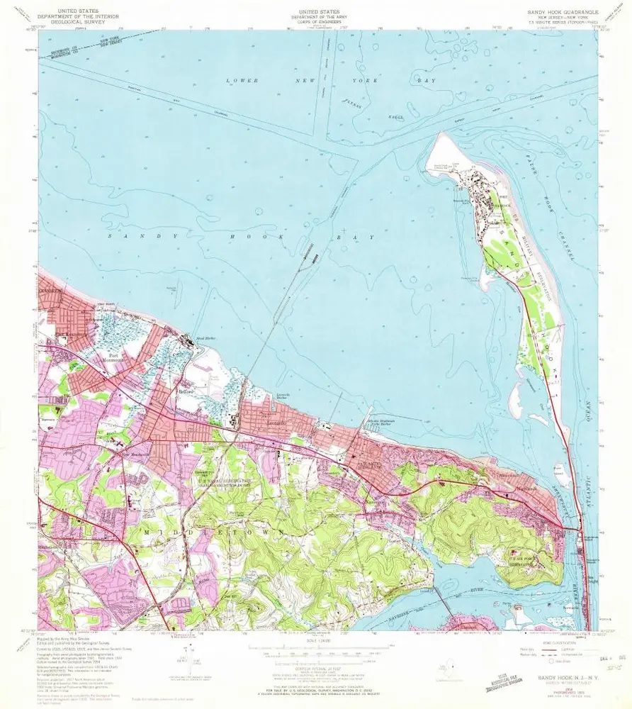
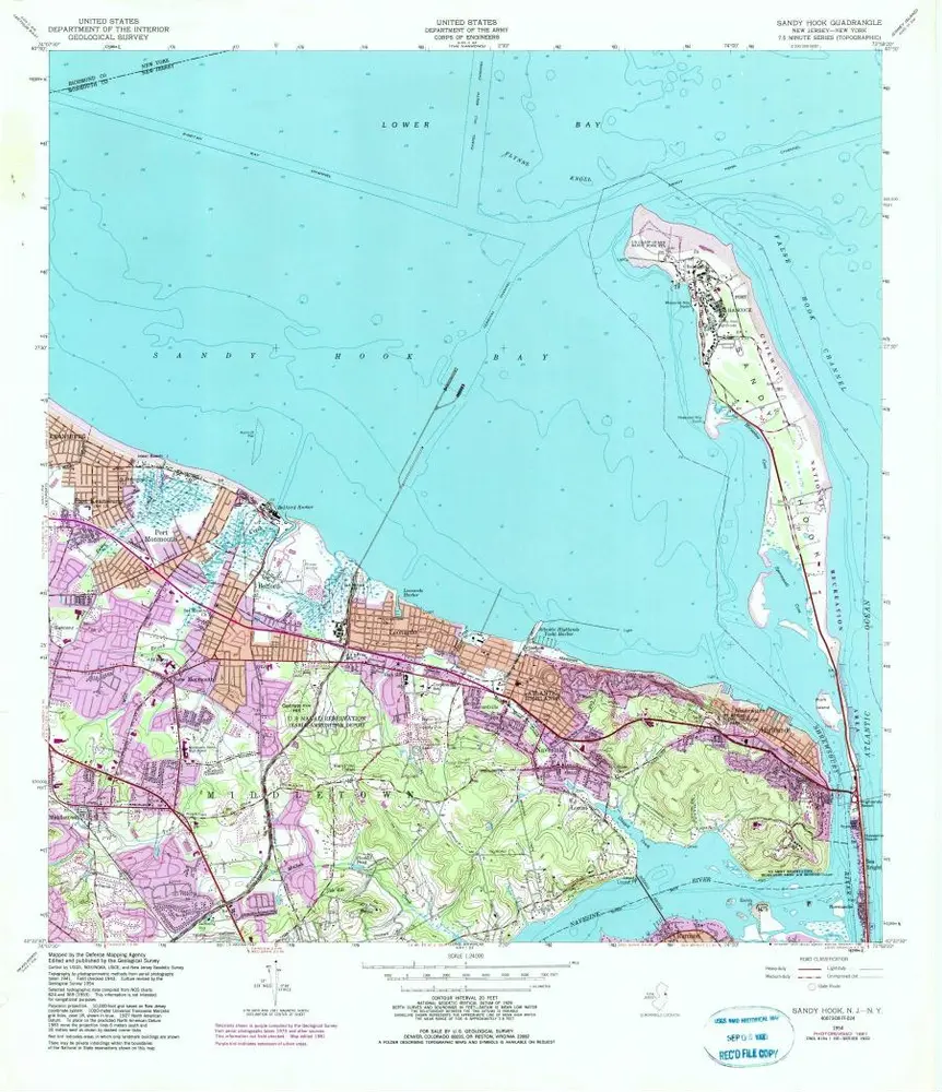
Sandy Hook
1954
1:24k
Sandy Hook
1954
1:24k
Sandy Hook
1954
1:24k
Sandy Hook
1954
1:24k
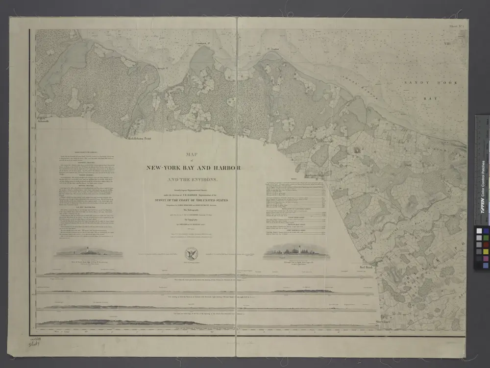
Map of New-York Bay and Harbor and the environs / founded upon a trigonometrical survey under the direction of F. R. Hassler, superintendent of the Survey of the Coast of the United States; triangulation by James Ferguson and Edmund Blunt, assistants; the hydrography under the direction of Thomas R. Gedney, lieutenant U.S. Navy; the topography by C. Renard and T.A. Jenkins assists.
1845
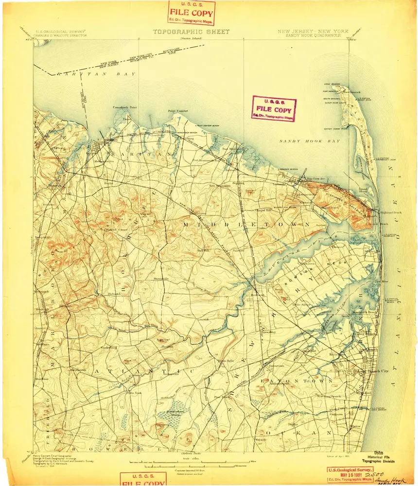
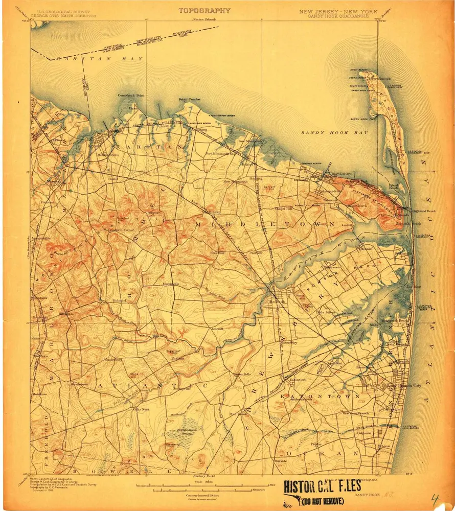
Sandy Hook
1901
1:63k
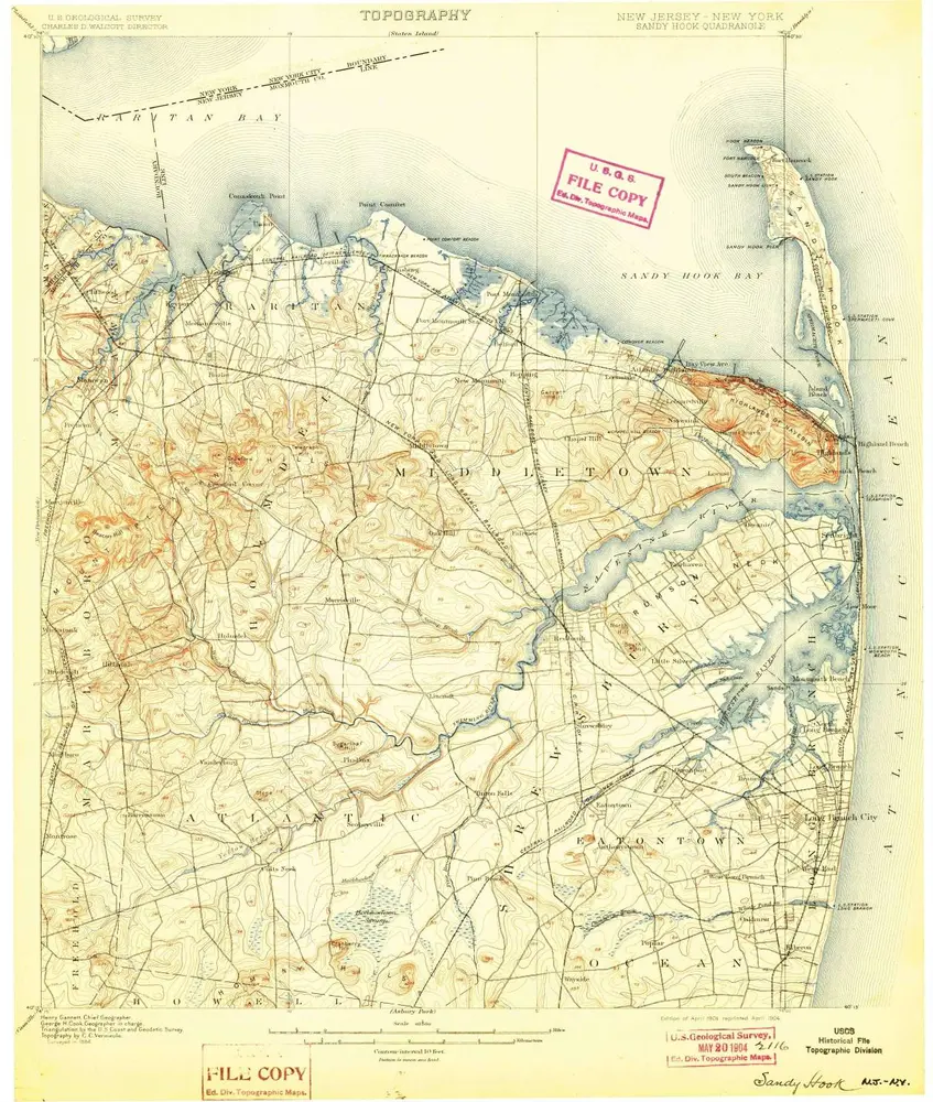
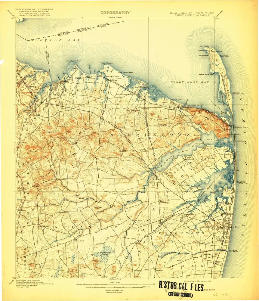
Sandy Hook
1901
1:63k
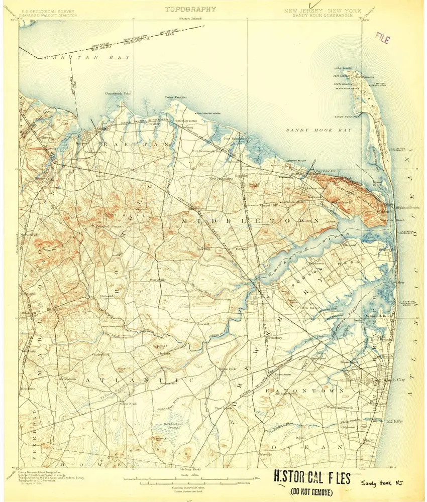
Sandy Hook
1901
1:63k
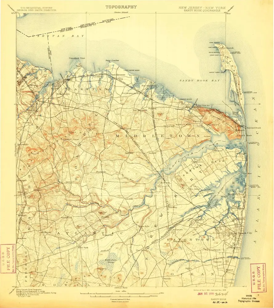
Sandy Hook
1901
1:63k
Sandy Hook
1901
1:63k
Sandy Hook
1901
1:63k
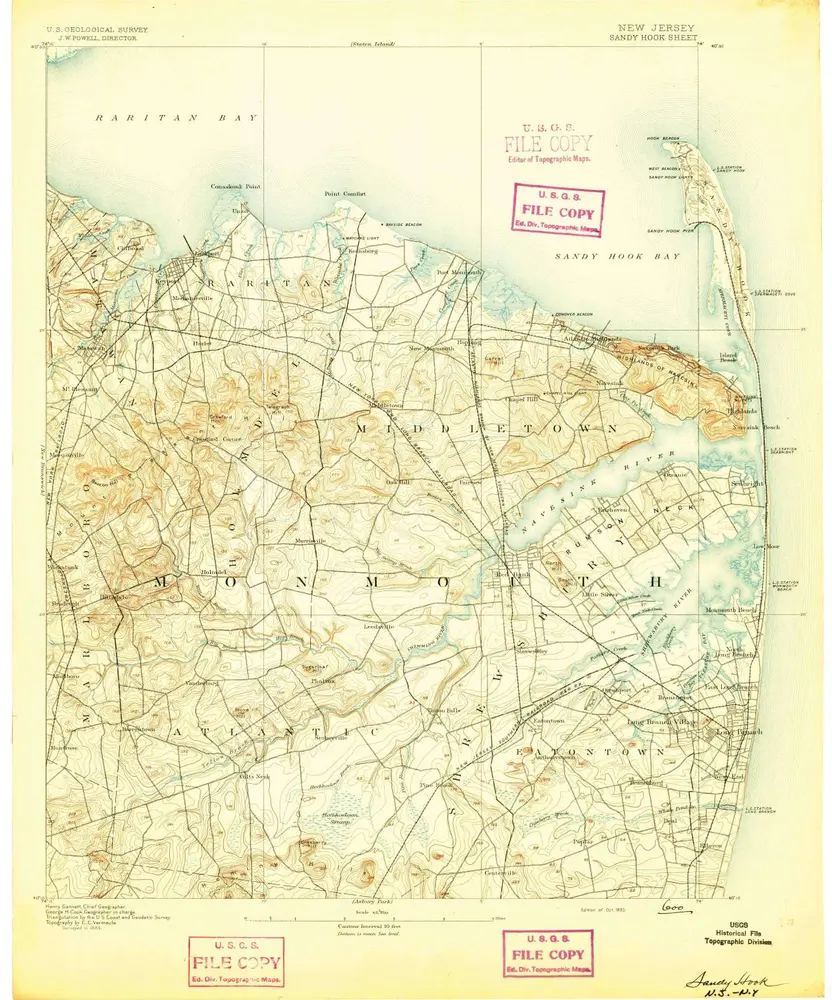
Sandy Hook
1893
1:63k
Sandy Hook
1893
1:63k
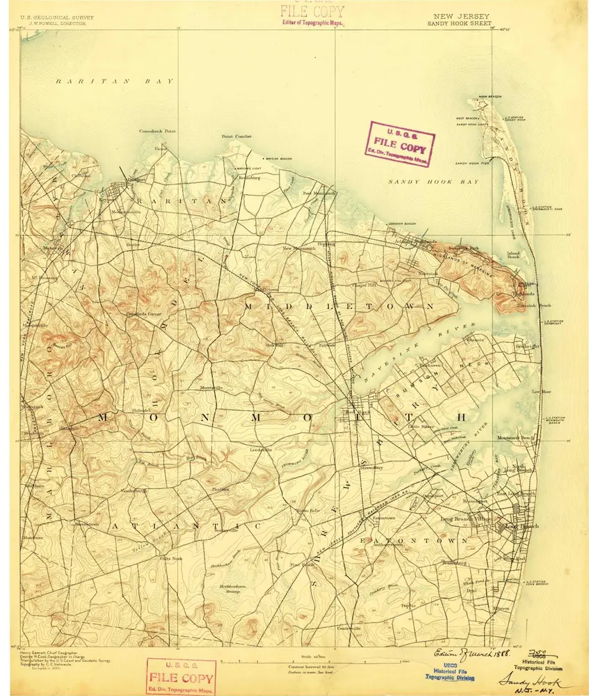
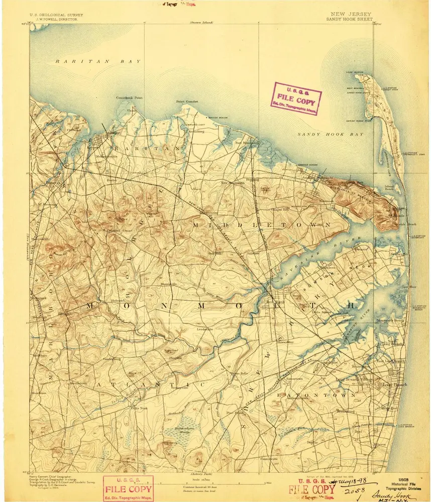
Sandy Hook
1888
1:63k