

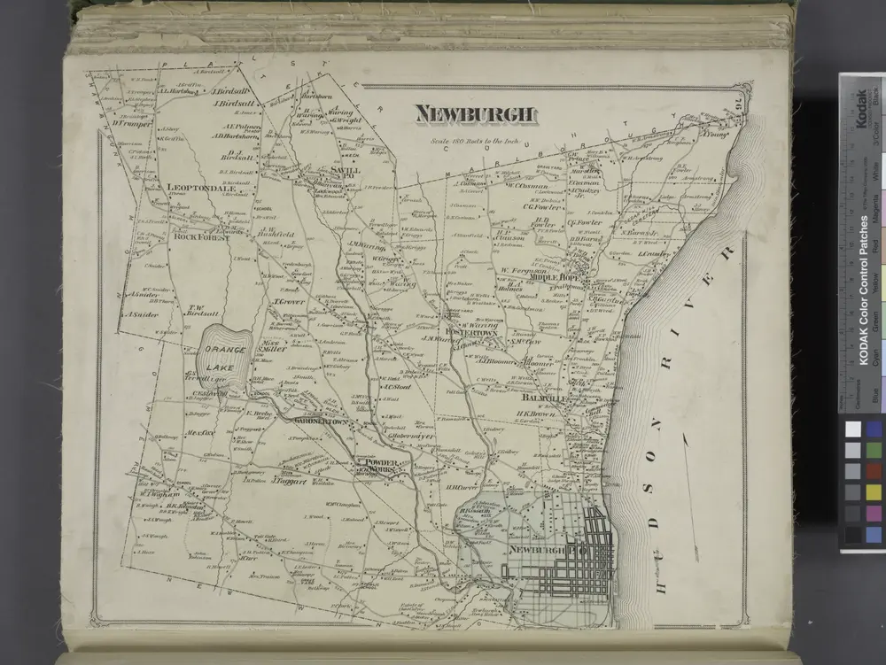
Newburgh [Township]
1875
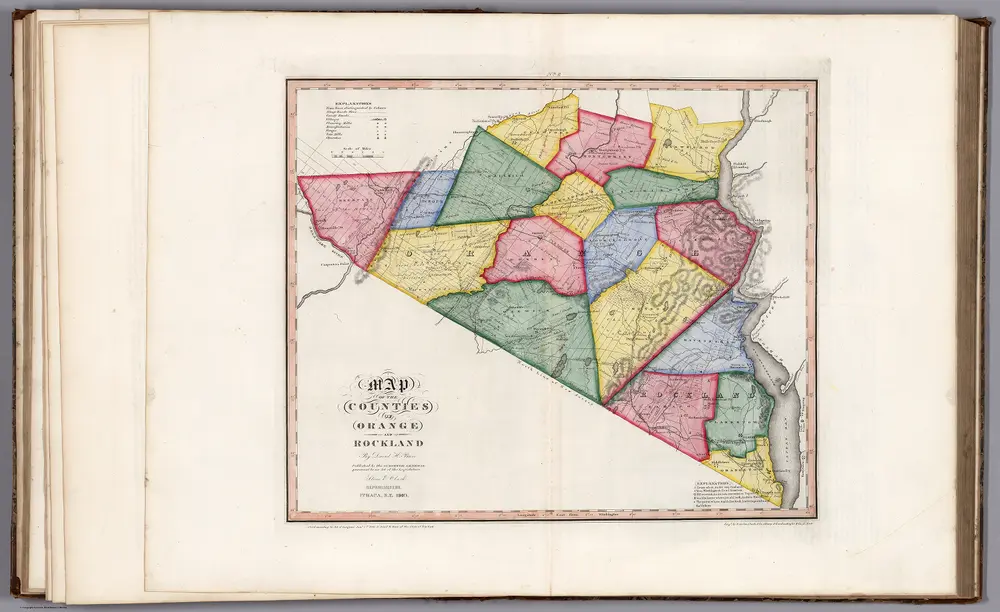
Map of the Counties of Orange and Rockland (New York).
1840
Burr, David H., 1803-1875
1:168k
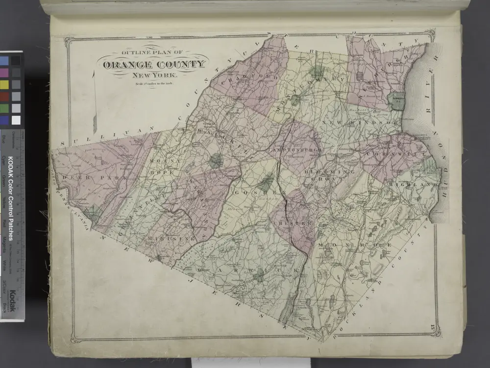
Outline Plan of Orange County New York.
1875
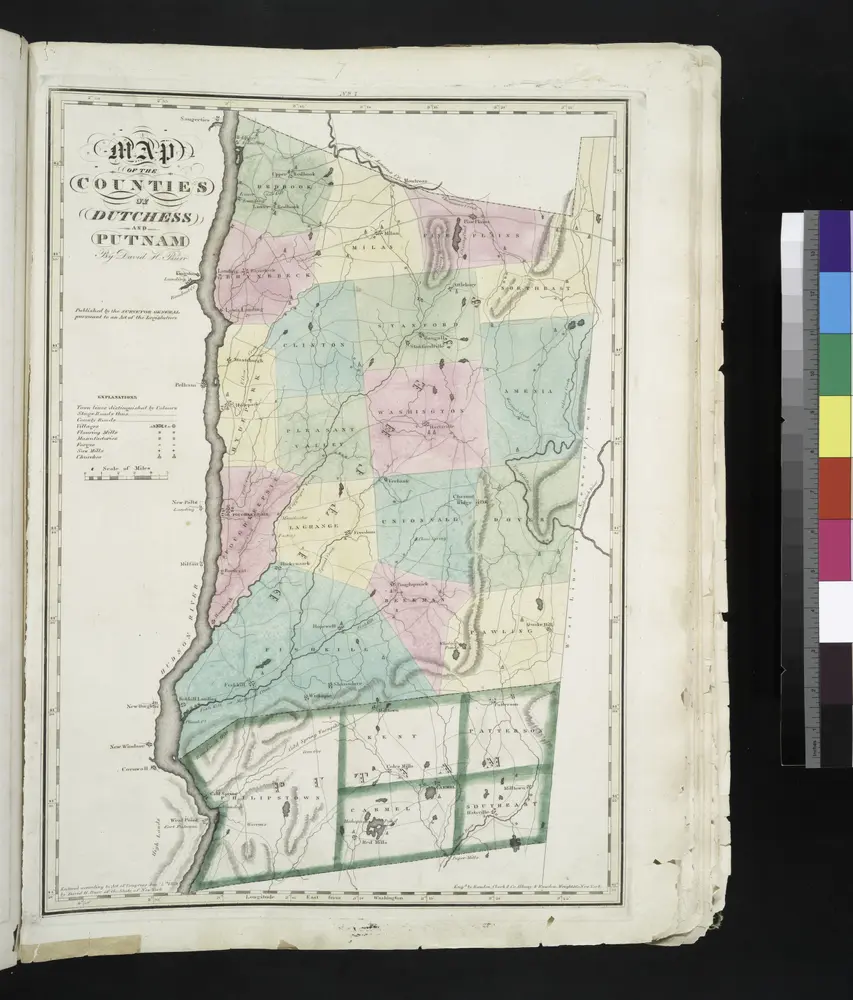
Map of the counties of Dutchess and Putnam / by David H. Burr ; engd. by Rawdon, Clark & Co., Albany, & Rawdon, Wright & Co., New York.
1829
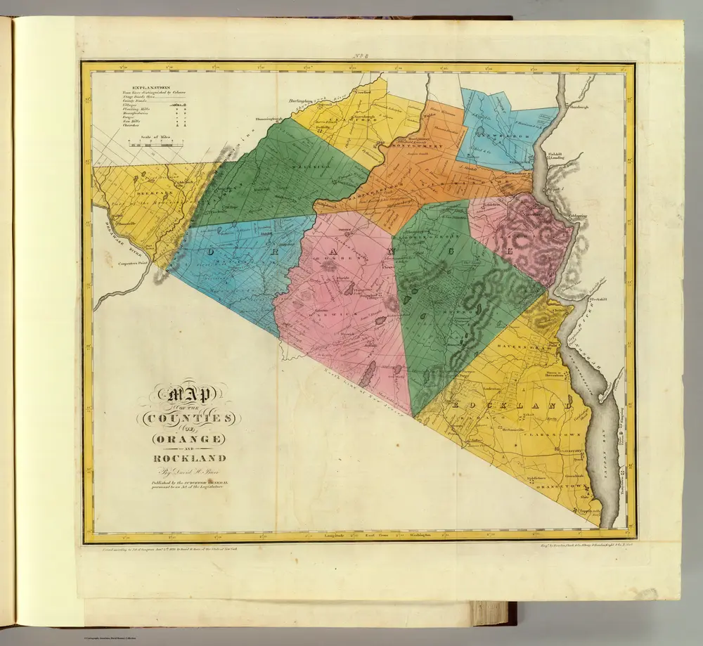
Orange, Rockland counties.
1829
Burr, David H., 1803-1875
1:151k

Map of the county of Ulster / by David H. Burr ; engd. by Rawdon, Clark & Co., Albany, & Rawdon, Wright & Co., New York.
1829
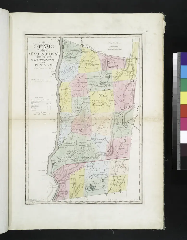
Map of the counties of Dutchess and Putnam / by David H. Burr ; engd. by Rawdon, Clark & Co., Albany, & Rawdon, Wright & Co., New York.
1829
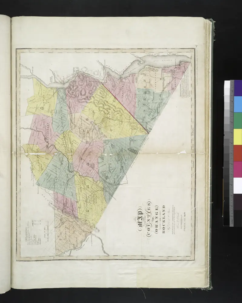
Map of the counties of Orange and Rockland / by David H. Burr ; engd. by Rawdon, Clark & Co., Albany, & Rawdon, Wright & Co., N. York.
1829
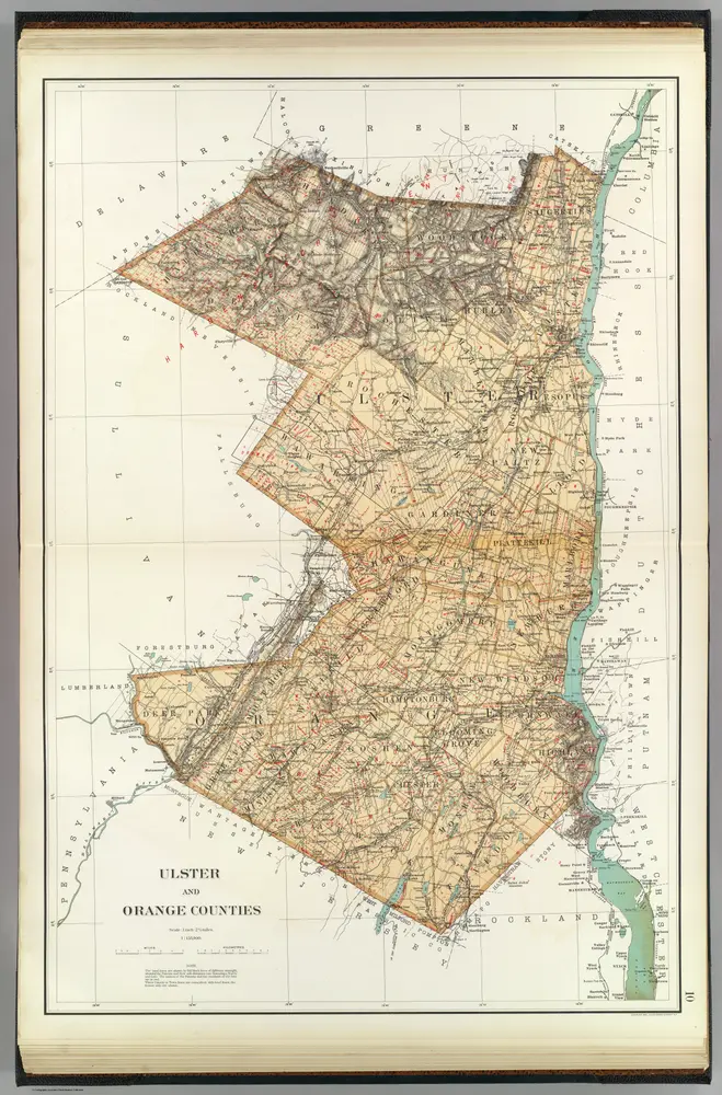
Ulster, Orange counties.
1895
Bien, Joseph Rudolf
1:158k
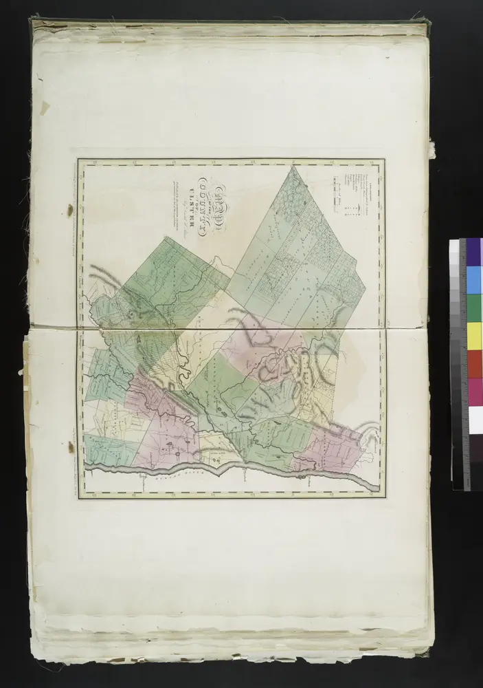
Map of the county of Ulster / by David H. Burr ; engd. by Rawdon, Clark & Co., Albany, & Rawdon, Wright & Co., New York.
1829


Stare mapy Wallkill, Ulster County, New York
Odkryj przeszłość Wallkill, Ulster County, New York na mapach historycznych
Stare mapy Wallkill, Ulster County, New York
Odkryj przeszłość Wallkill, Ulster County, New York na mapach historycznych
Szukam Google Maps API Alternative?