Mapy Newport County, Rhode Island
 1869|C&GS1:20 000
 1838|Bradford, Thomas G.1:290 000
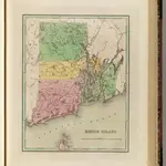
 1827|Finley, Anthony1:360 000
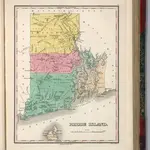
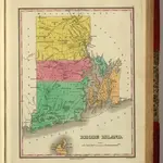 1831|Finley, Anthony1:360 000
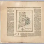 1826|Hassel, Georg, 1770-18291:390 000
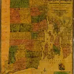 1831|Unknown1:95 040
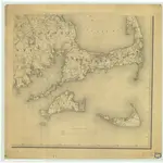 1844|C. Hickling1:158 400
Stare mapy Newport County, Rhode Island
Odkryj przeszłość Newport County, Rhode Island na mapach historycznych
Stare mapy Newport County, Rhode Island
Odkryj przeszłość Newport County, Rhode Island na mapach historycznych
Szukam Google Maps API Alternative?