Mapy La Chapelle-Erbrée
 1856|Levasseur, Victor.1:571 000
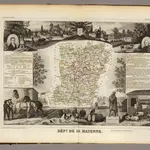
 1842|Rivaux, Auguste
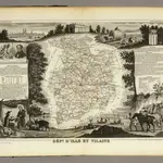 1856|Levasseur, Victor.1:580 000
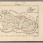 1825|Hermann, O.1:400 000
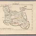 1825|Hermann, O.1:400 000
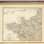 1830|Society for the Diffusion of Useful Knowledge (Great Britain)1:1 800 000
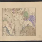 1841|Leonhard, Carl Cäsar von
Stare mapy La Chapelle-Erbrée
Odkryj przeszłość La Chapelle-Erbrée na mapach historycznych
Stare mapy La Chapelle-Erbrée
Odkryj przeszłość La Chapelle-Erbrée na mapach historycznych
Szukam Google Maps API Alternative?