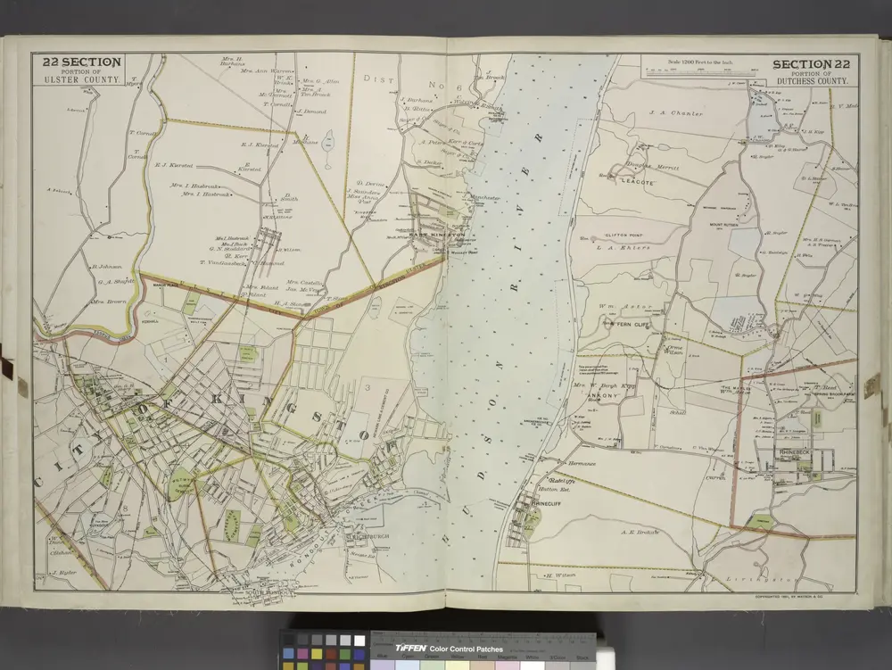

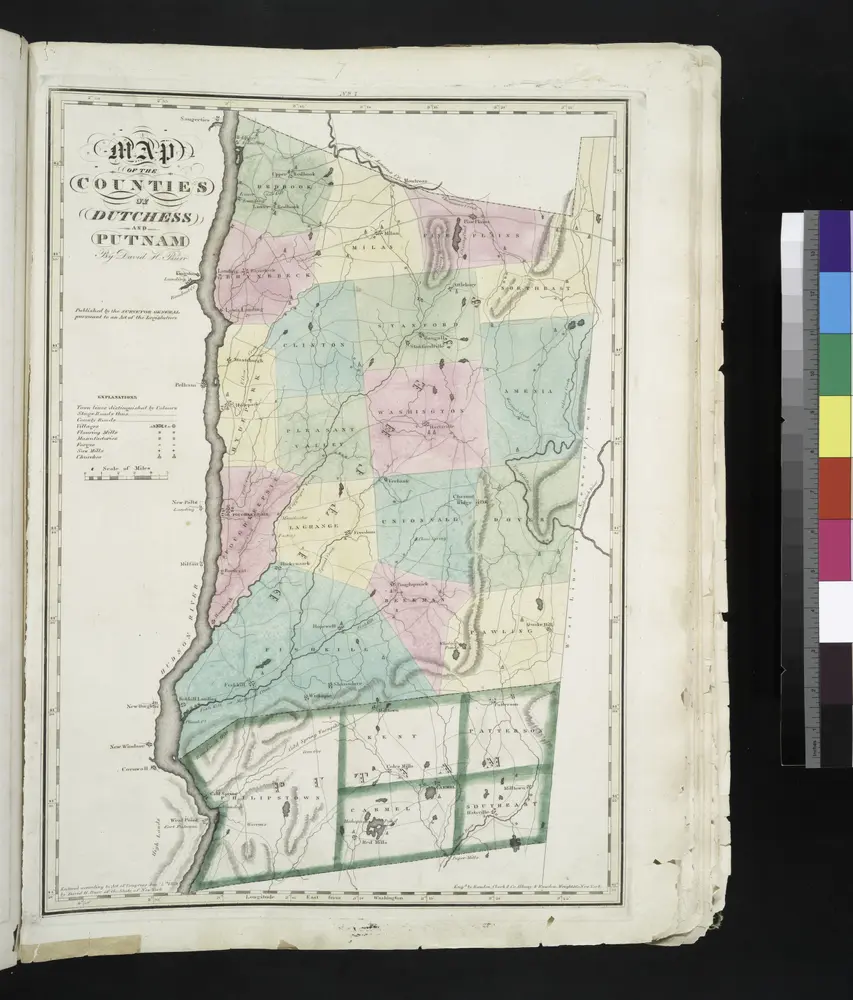

Stare mapy Hurley (miasto w stanie Nowy Jork)
Odkryj przeszłość Hurley (miasto w stanie Nowy Jork) na mapach historycznych
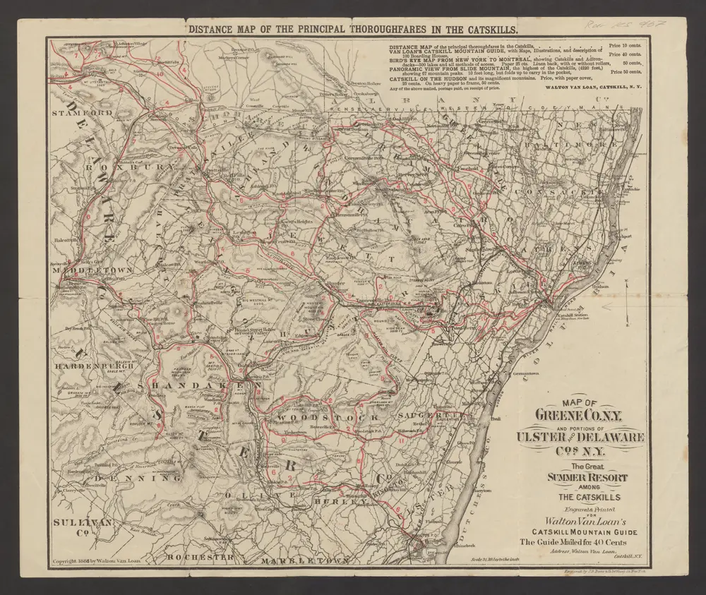
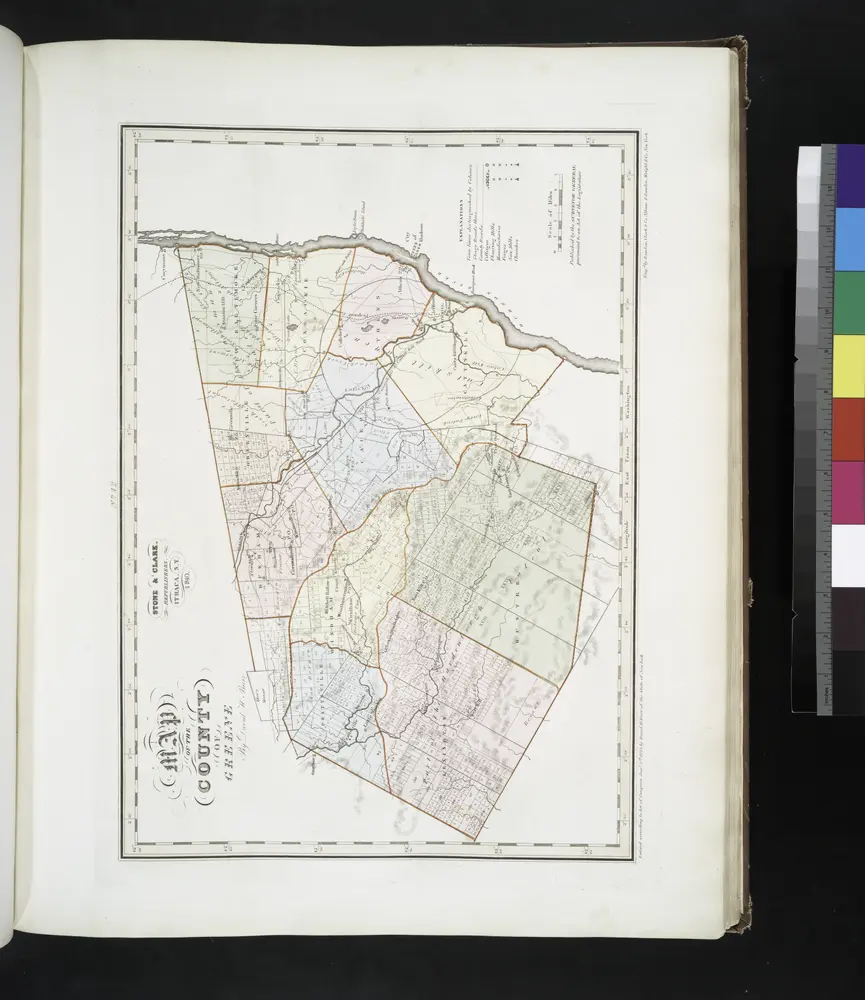
Stare mapy Hurley (miasto w stanie Nowy Jork)
Odkryj przeszłość Hurley (miasto w stanie Nowy Jork) na mapach historycznych
Szukam Google Maps API Alternative?