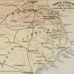
Mapy Halifax County, North Carolina
 1861
1861
 1861|L. Prang & Co.
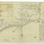 1875|James Wimble1:1 293 460
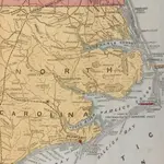
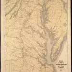
 1862|L. Prang & Co.
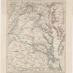 1862|Petermann, August1:1 000 000
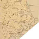
 1861|Heyne, Charles1:400 000
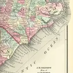 1863|FISHER, Richard Swainson.
Stare mapy Halifax County, North Carolina
Odkryj przeszłość Halifax County, North Carolina na mapach historycznych
Stare mapy Halifax County, North Carolina
Odkryj przeszłość Halifax County, North Carolina na mapach historycznych
Szukam Google Maps API Alternative?