

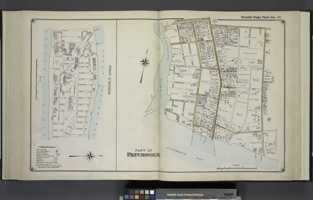
Point O' Woods; Part of Patchogue
1915
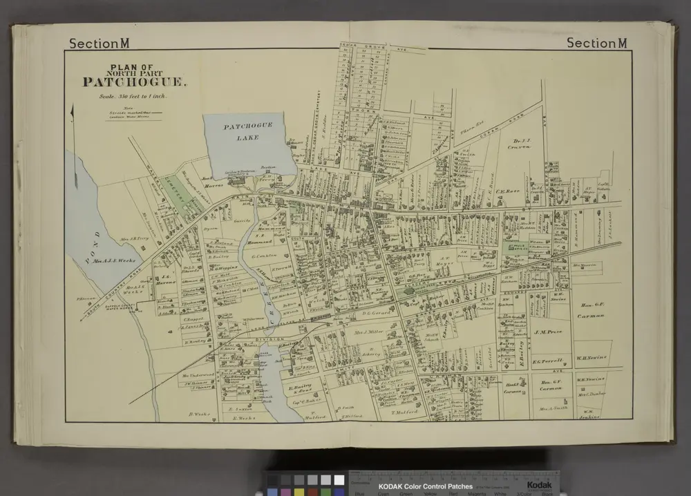
Plan of North Part Patchogue. [Village]
1888
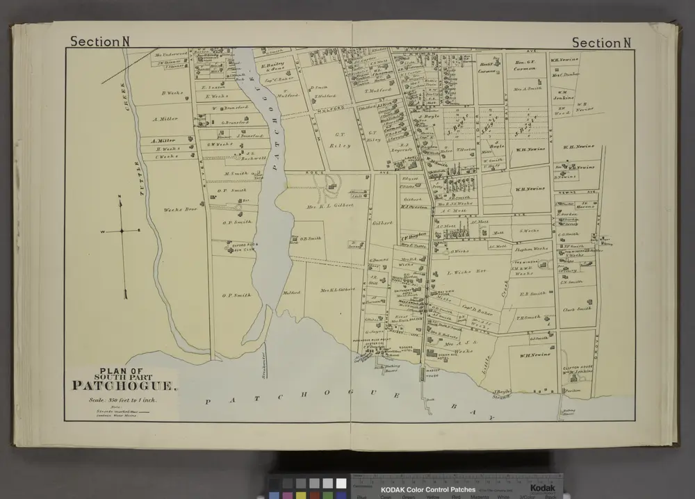
Plan of South Part Patchogue. [Village]
1888
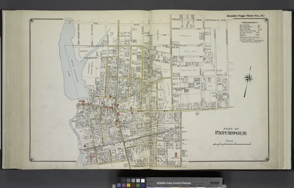
Part of Patchogue
1915
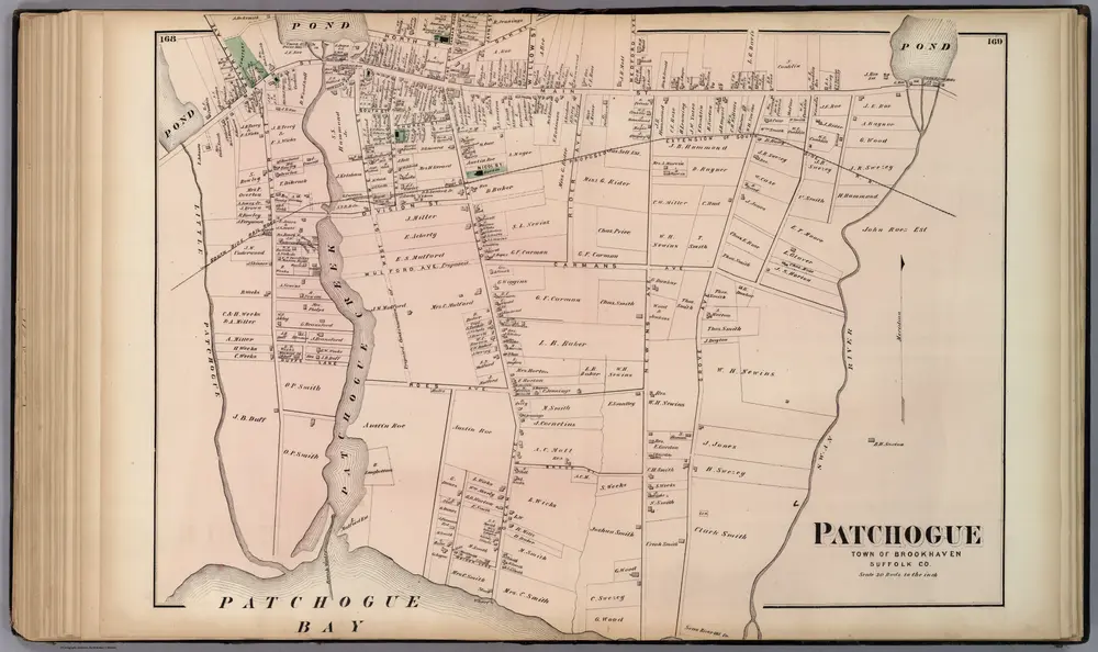
Patchogue, in Brookhaven. Long Island.
1873
Beers, F.W.
1:6k
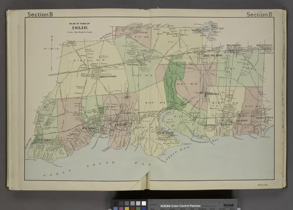
Plan of Town of Islip. [Township]
1888
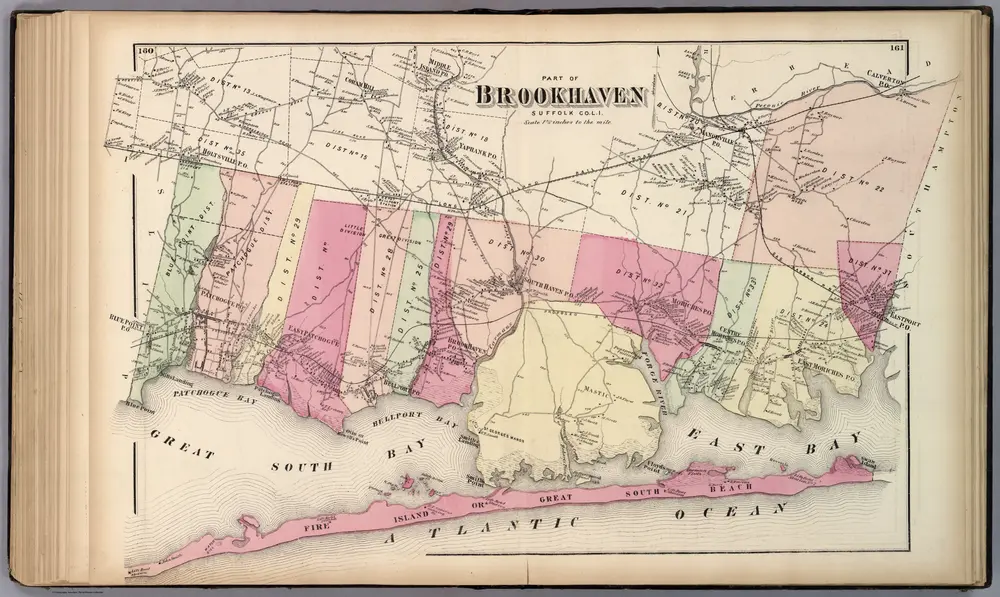
Brookhaven. Long Island.
1873
Beers, F.W.
1:53k
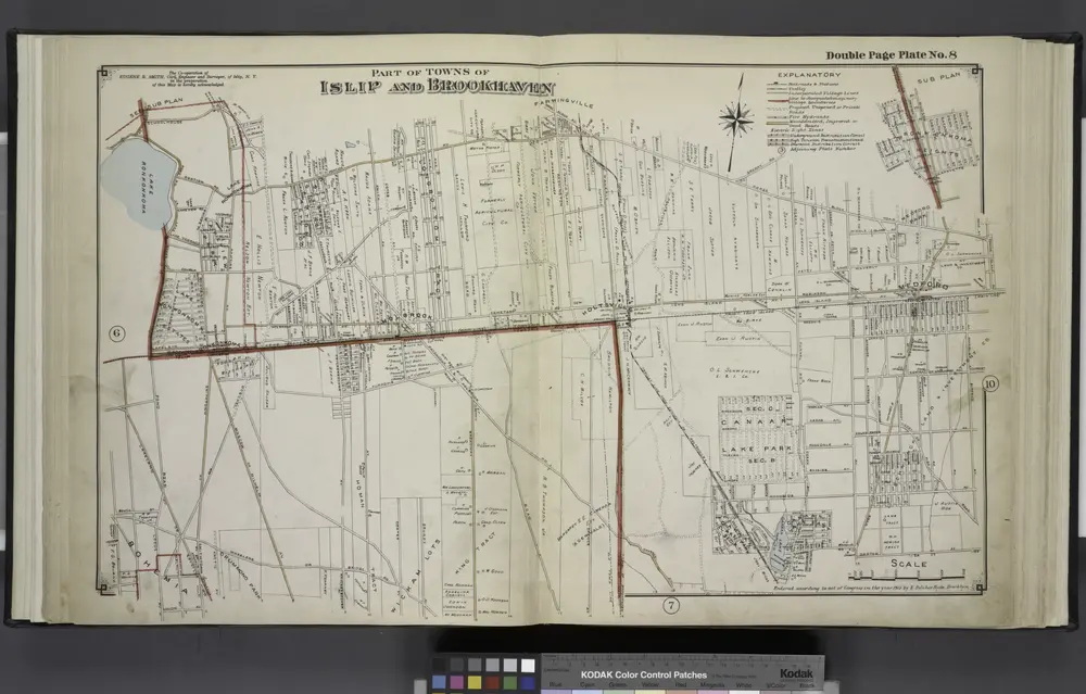
Part of Towns of Islip and Brookhaven
1915
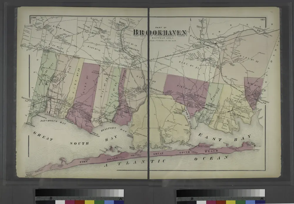
Part of Brookhaven, Suffolk Co.
1873
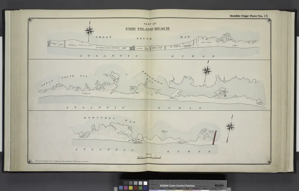
Part of Fire Island Beach
1915

