Project
Gemeenschap
Nieuws
Mijn app
Mijn kaarten
Katalogisierte Karte
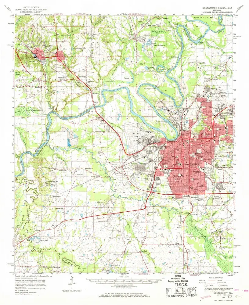
Montgomery
Bekijk op externe website
Bekijk gedigitaliseerd
Einrichtung:
United States Geological Survey
Vollständiger Titel:
Montgomery
Jahr der Abbildung:
1958
Veröffentlichungsdatum:
1968
Maßstab der Karte:
1:62 500
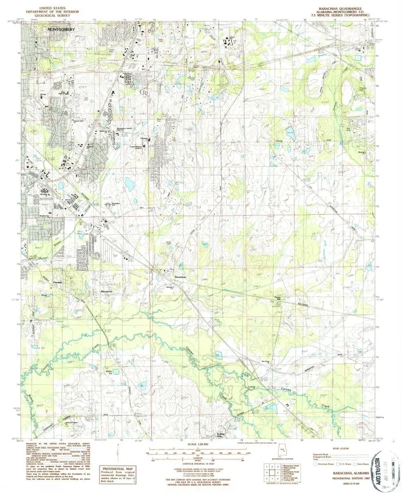
Barachias
1987
1:24k
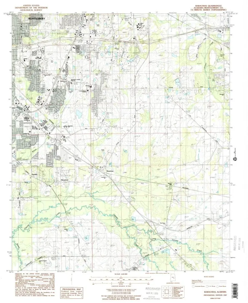
Barachias
1987
1:24k
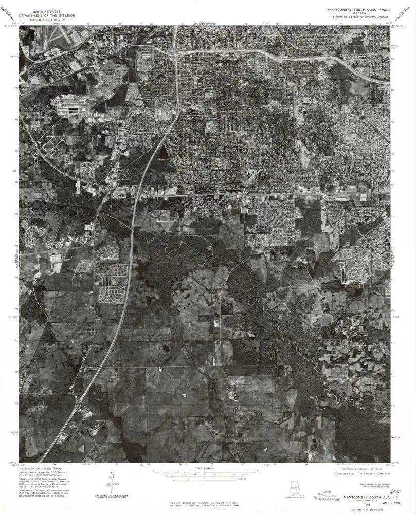
Montgomery South
1975
1:24k
Mount Meigs SW
1975
1:24k
Montgomery South
1958
1:24k
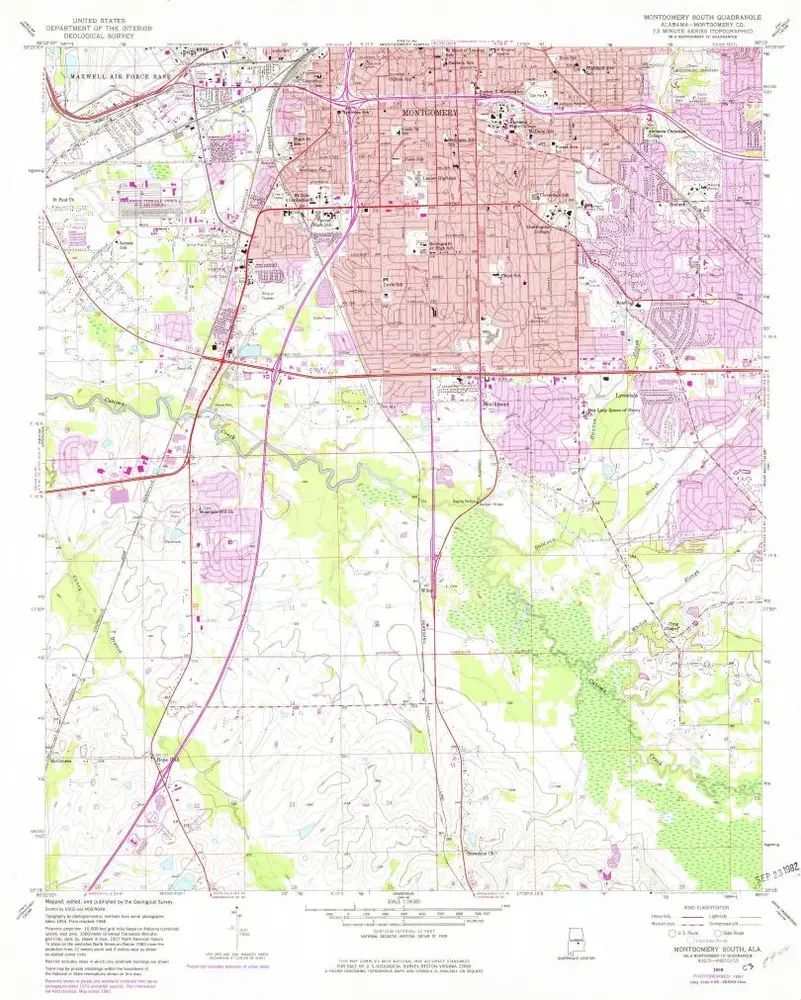
Montgomery South
1958
1:24k
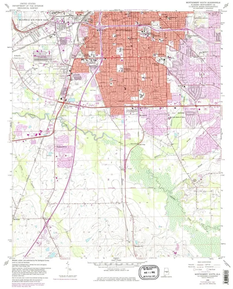
Montgomery South
1958
1:24k
Montgomery South
1958
1:24k
Montgomery South
1958
1:24k
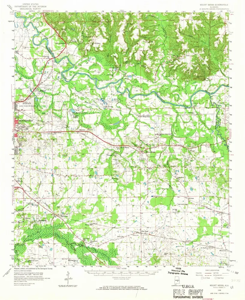
Mount Meigs
1958
1:63k
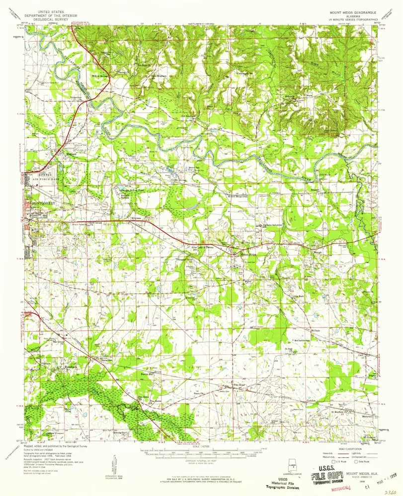
Mount Meigs
1958
1:63k
Geschichte