Project
Gemeenschap
Nieuws
Mijn app
Mijn kaarten
Katalogisierte Karte
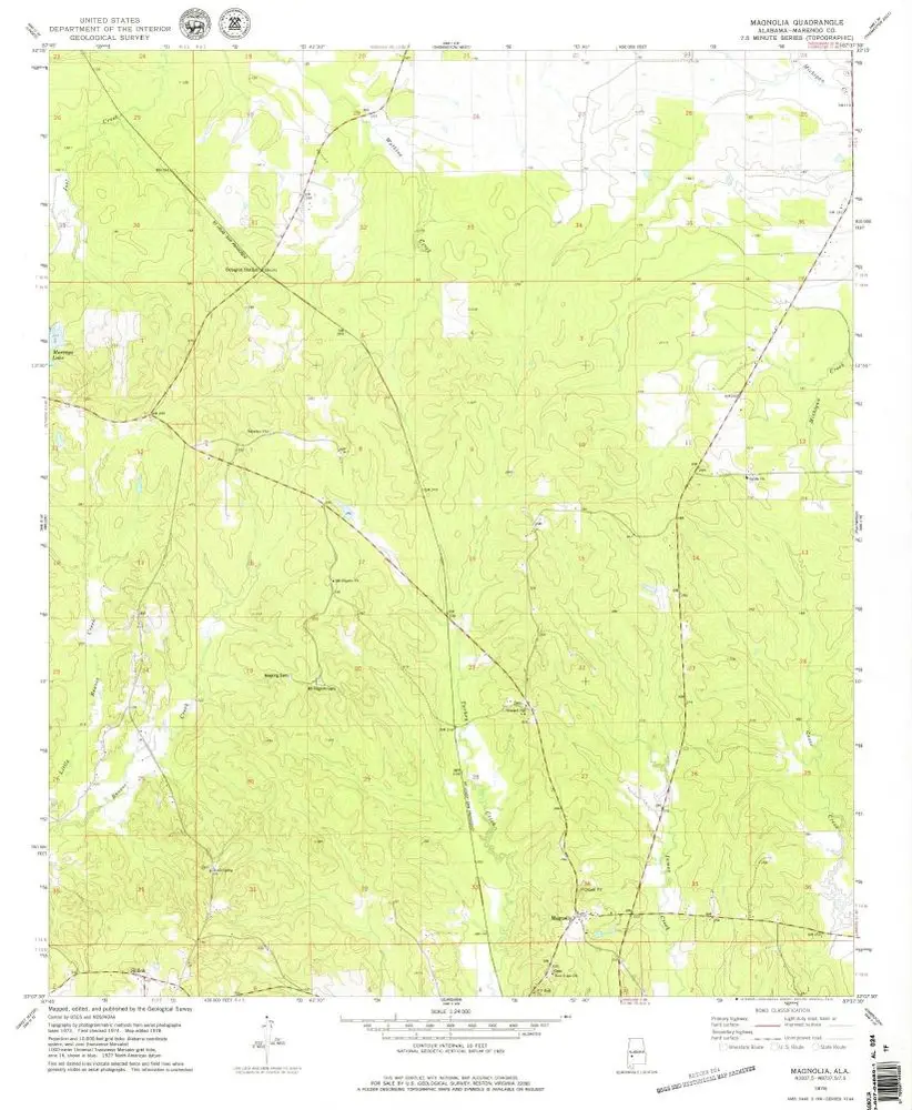
Magnolia
Bekijk op externe website
Bekijk gedigitaliseerd
Einrichtung:
United States Geological Survey
Vollständiger Titel:
Magnolia
Jahr der Abbildung:
1978
Veröffentlichungsdatum:
1979
Maßstab der Karte:
1:24 000
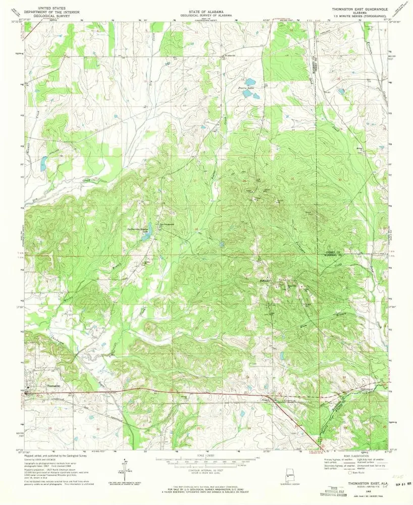
Thomaston East
1968
1:24k
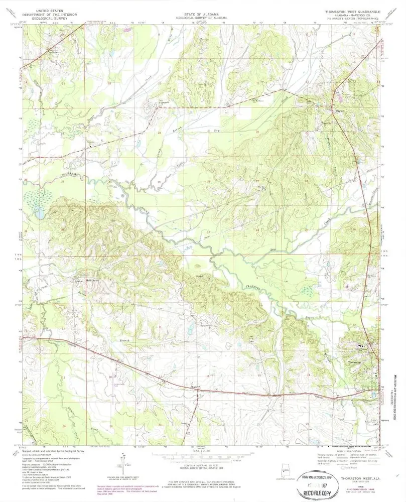
Thomaston West
1968
1:24k
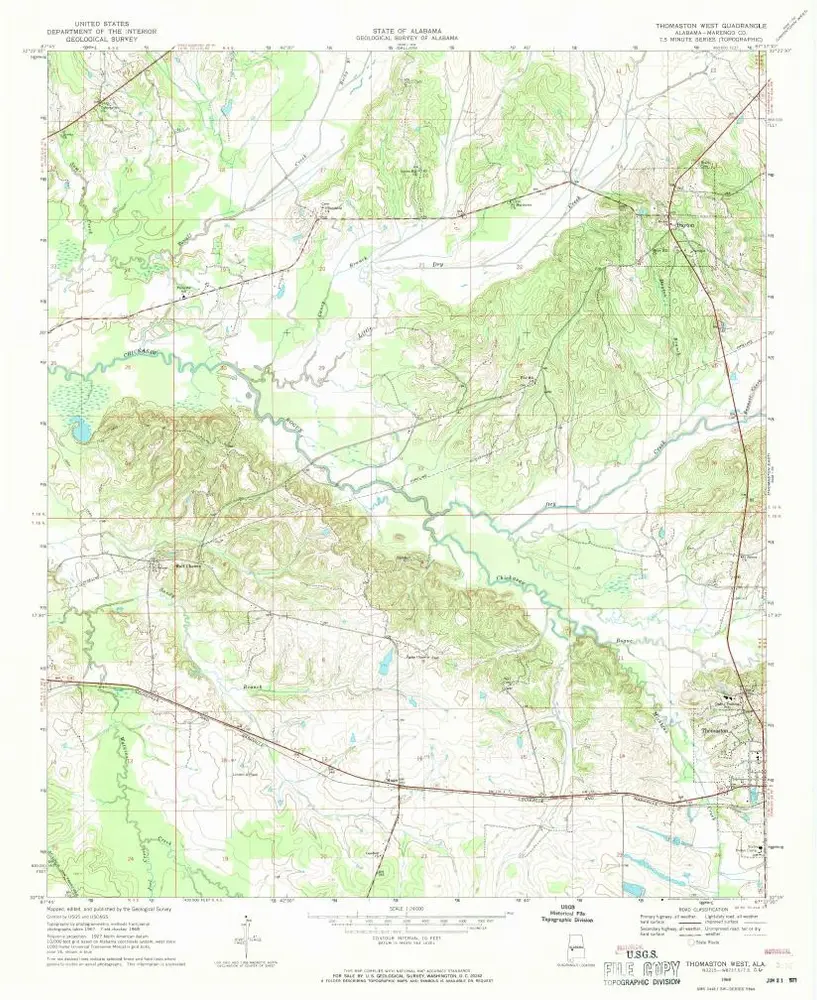
Thomaston West
1968
1:24k
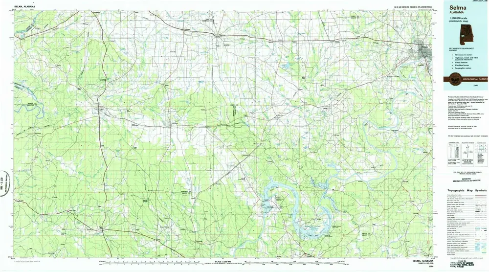
Selma
1986
1:100k
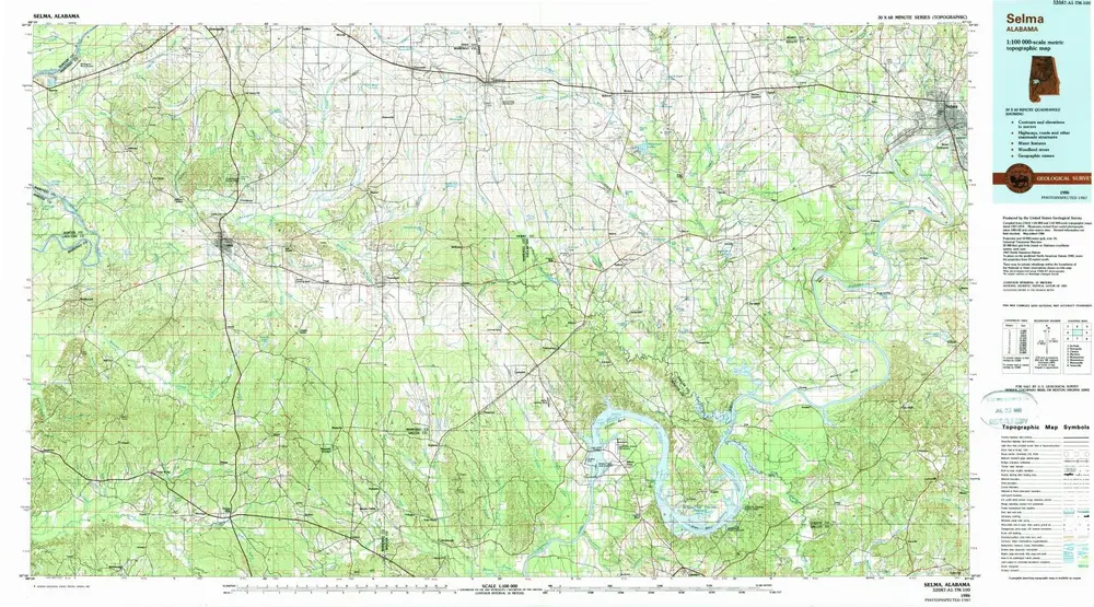
Selma
1986
1:100k
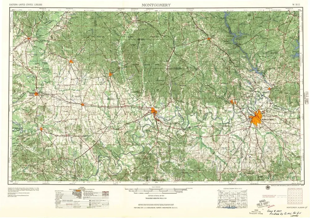
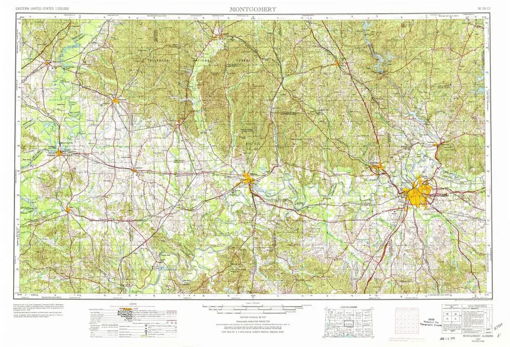
Montgomery
1957
1:250k
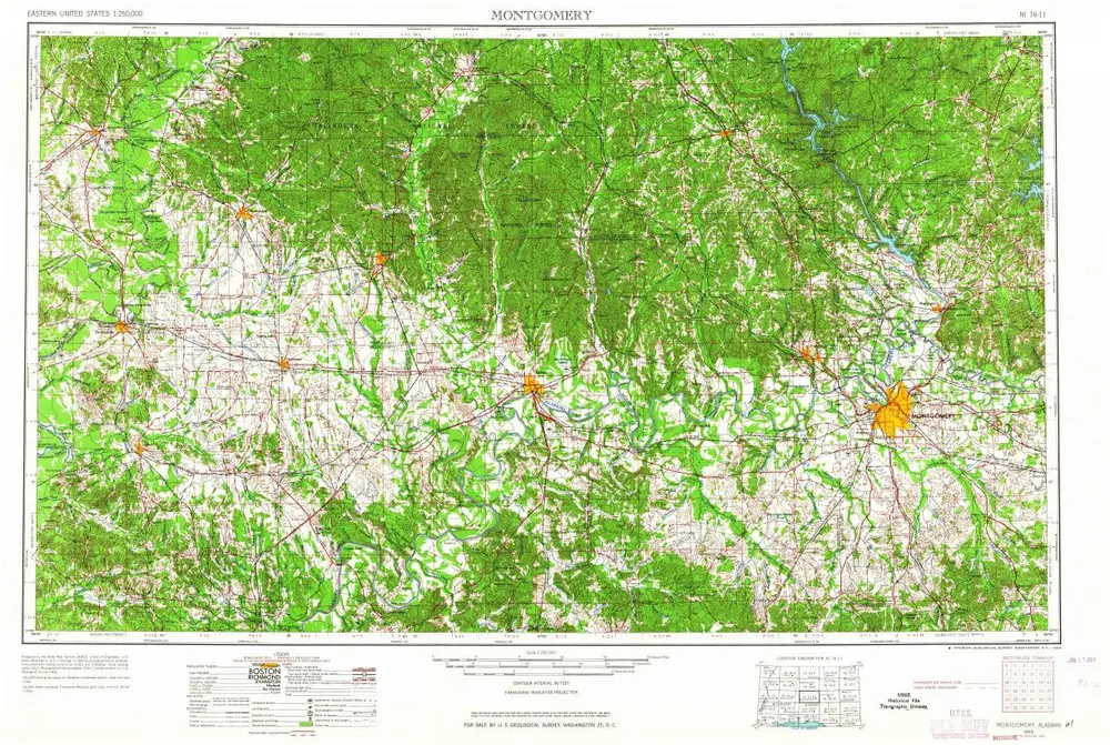
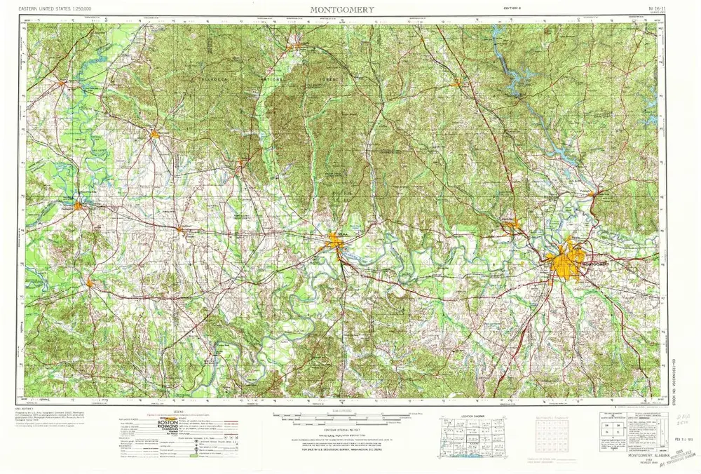
Montgomery
1953
1:250k
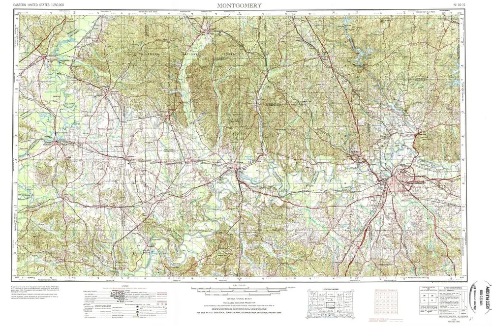
Montgomery
1953
1:250k
Montgomery
1953
1:250k
Montgomery
1953
1:250k
Geschichte