Cataloged map

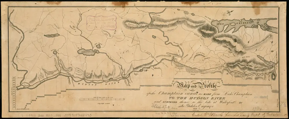
Map and profile of the Champlain Canal as made from Lake Champlain to the Hudson River and surveyed thence to the tide at Waterford
1820
Geddes, James
1:190k
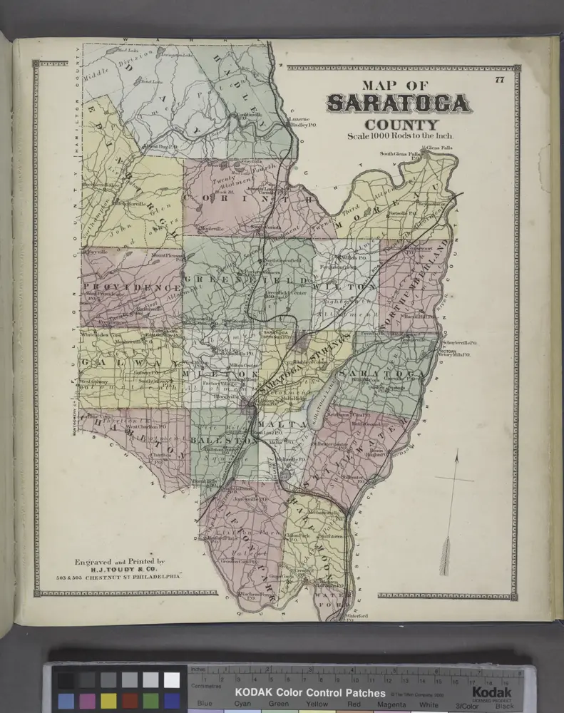
Map of Saratoga County
1866
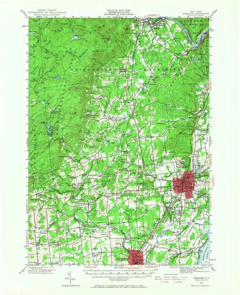
Saratoga
1949
1:63k
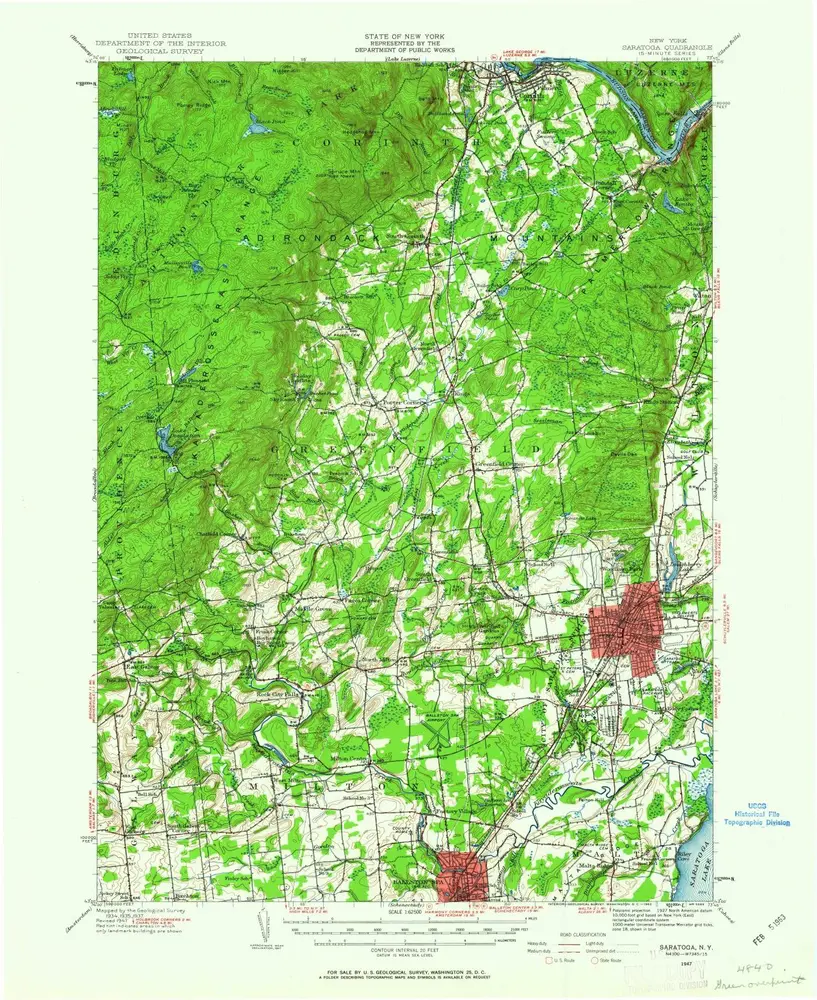
Saratoga
1947
1:63k
Saratoga
1947
1:63k
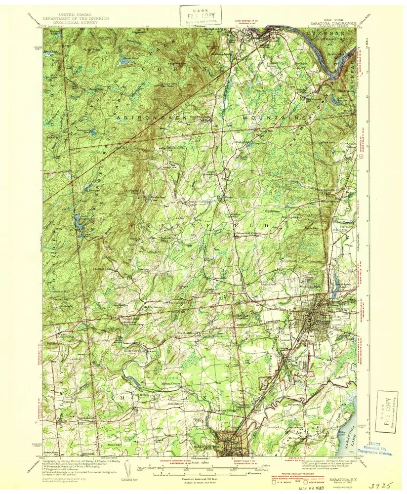
Saratoga
1942
1:63k
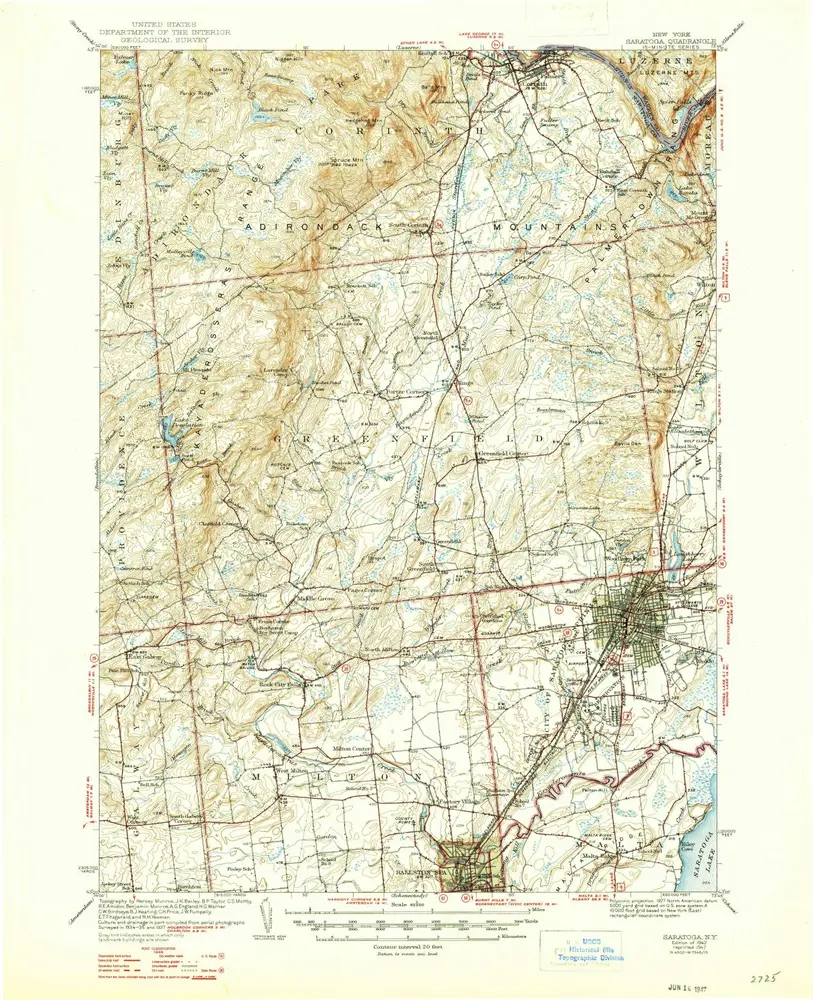
Saratoga
1942
1:63k
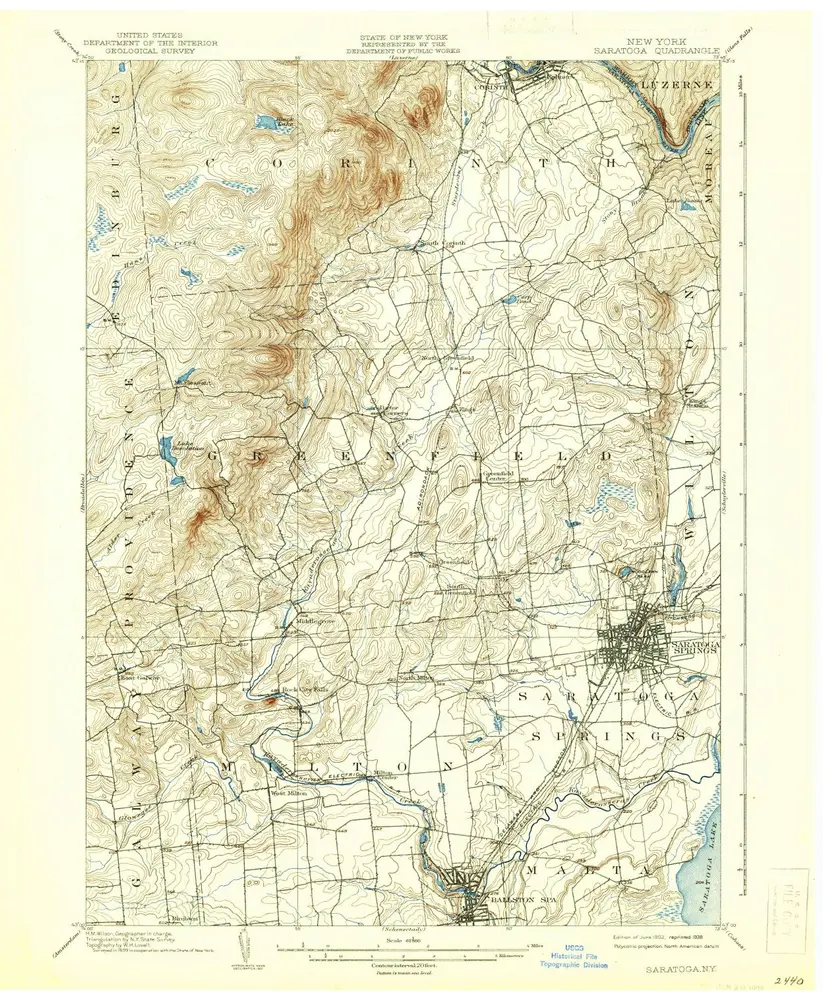
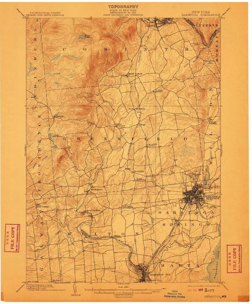
Saratoga
1902
1:63k
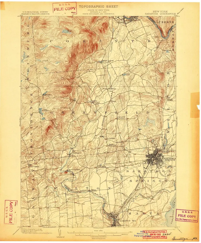
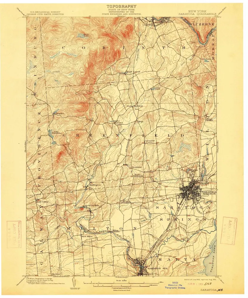
Saratoga
1902
1:63k
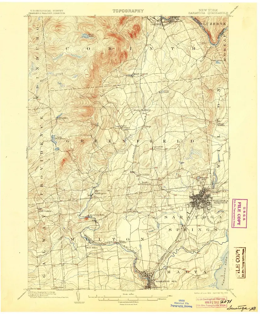
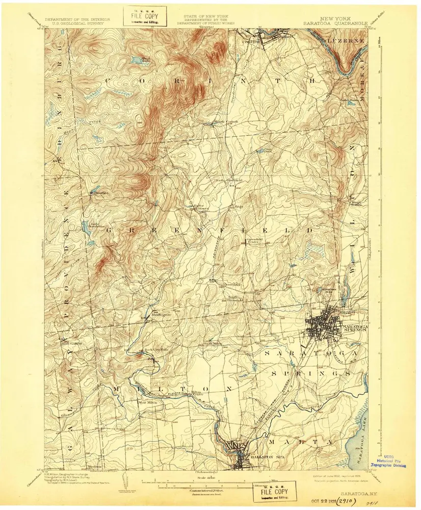
Saratoga
1902
1:63k
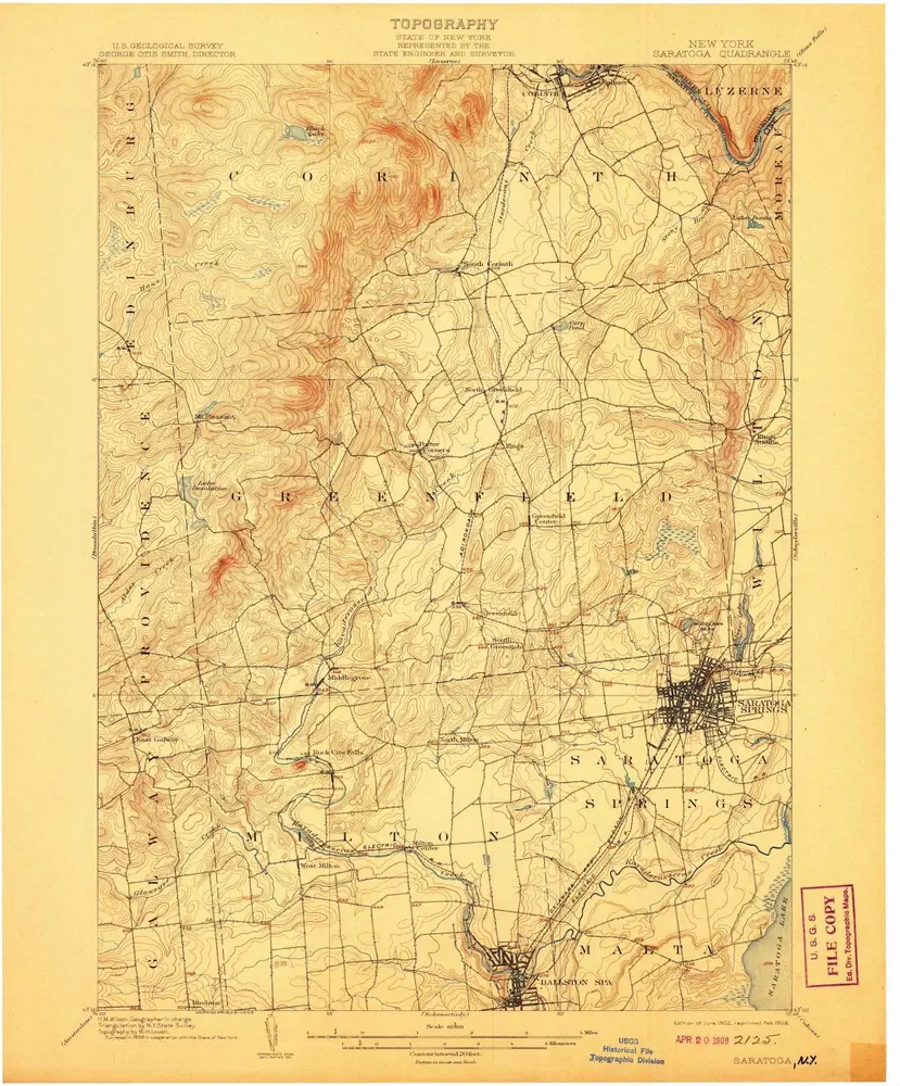
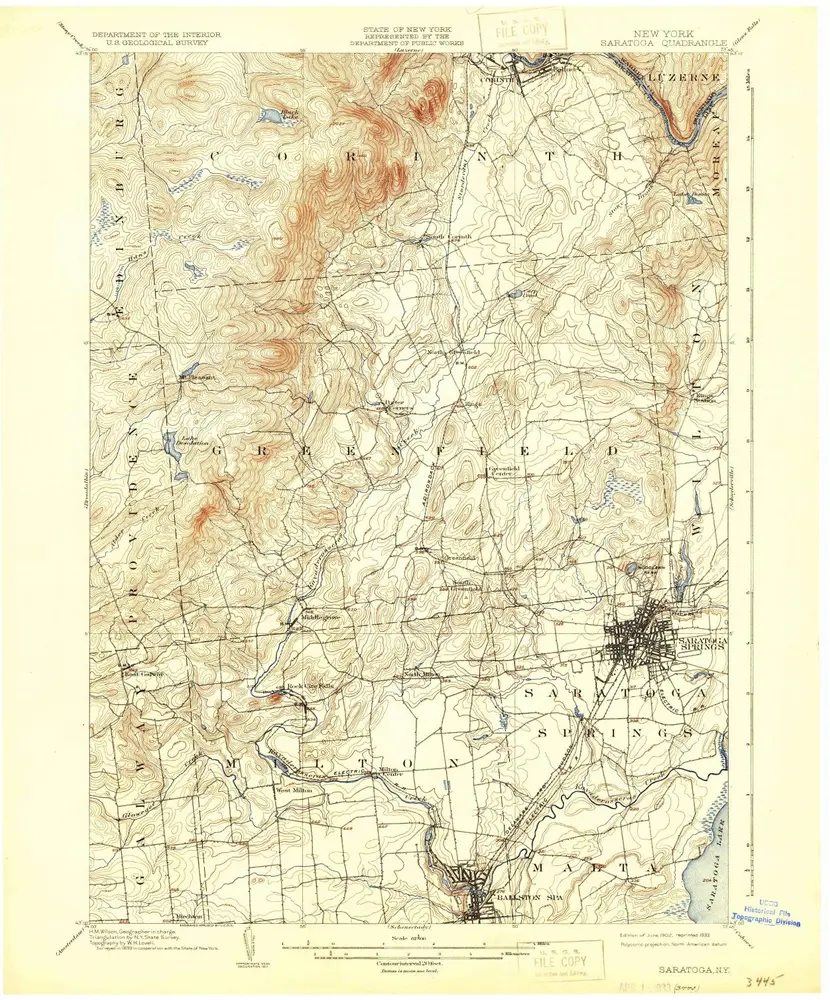
Saratoga
1902
1:63k
Saratoga
1902
1:63k
Saratoga
1902
1:63k
Saratoga
1902
1:63k
Saratoga
1902
1:63k