Project
Gemeenschap
Nieuws
Mijn app
Mijn kaarten
Katalogisierte Karte
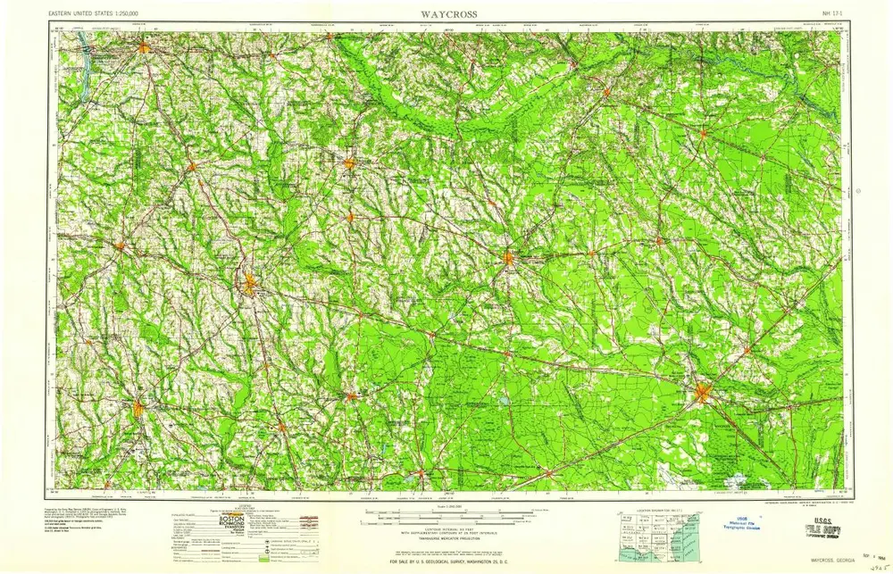
Waycross
Bekijk op externe website
Bekijk gedigitaliseerd
Einrichtung:
United States Geological Survey
Vollständiger Titel:
Waycross
Jahr der Abbildung:
1958
Maßstab der Karte:
1:250 000
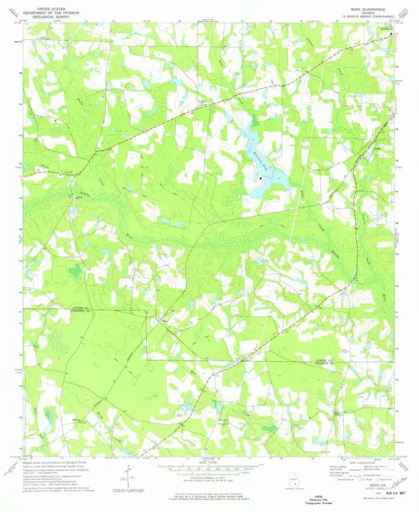
Mora
1977
1:24k
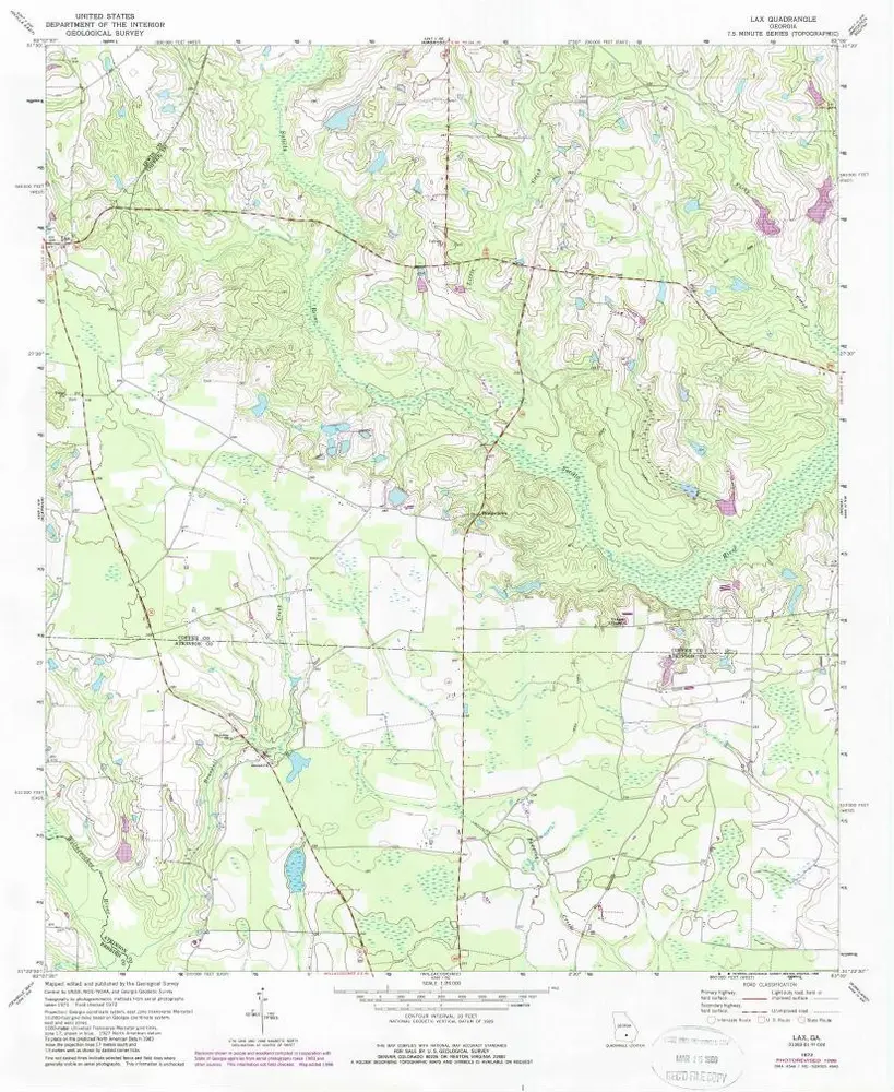
Lax
1972
1:24k
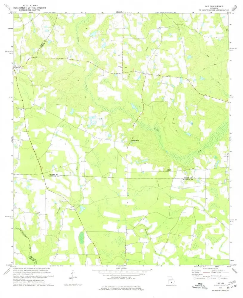
Lax
1972
1:24k
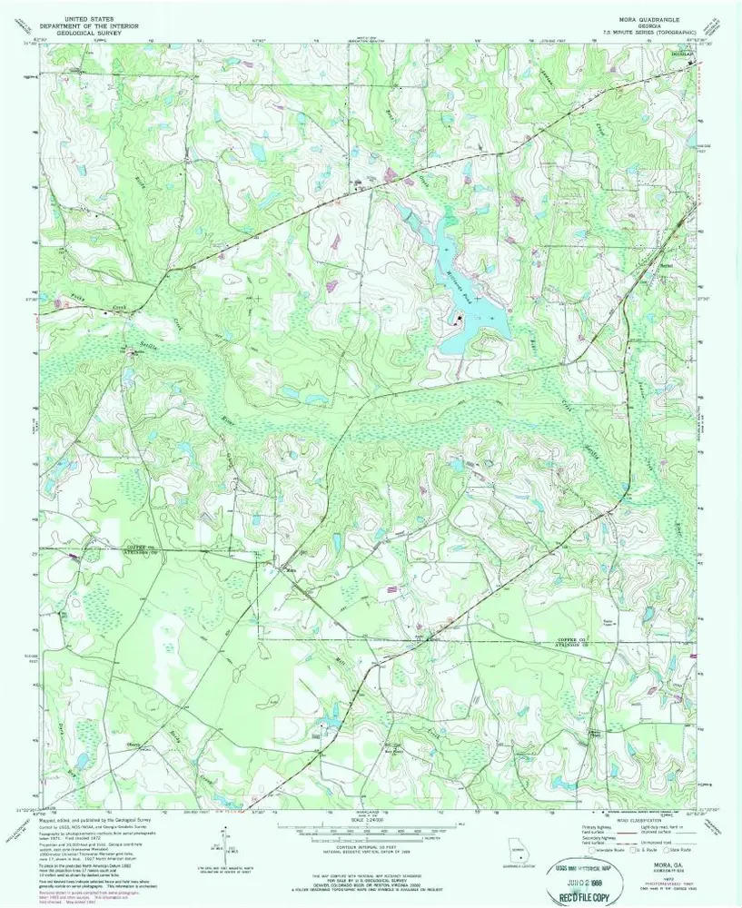
Mora
1972
1:24k
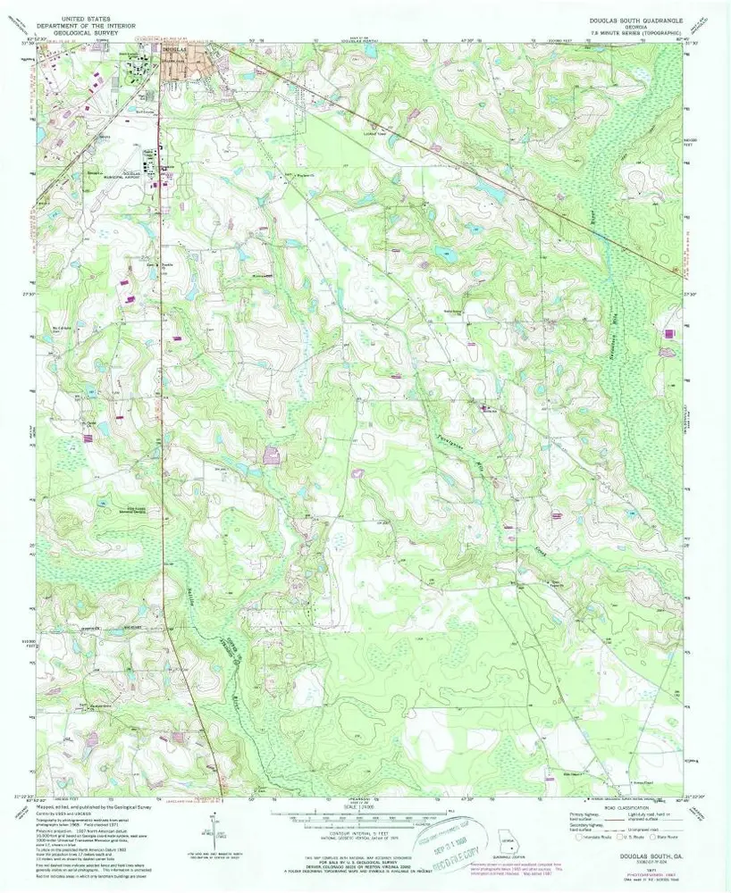
Douglas South
1971
1:24k
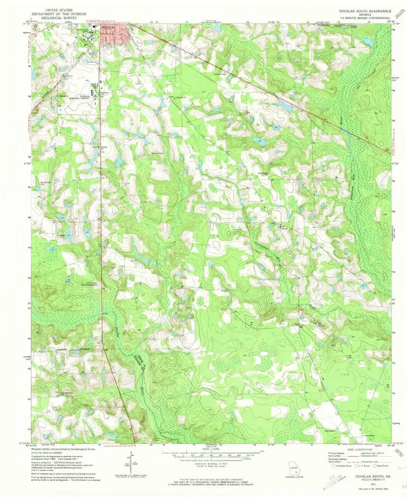
Douglas South
1971
1:24k
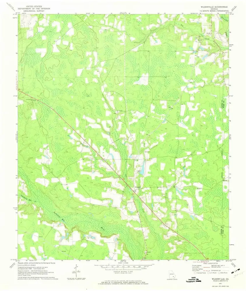
Wilsonville
1971
1:24k
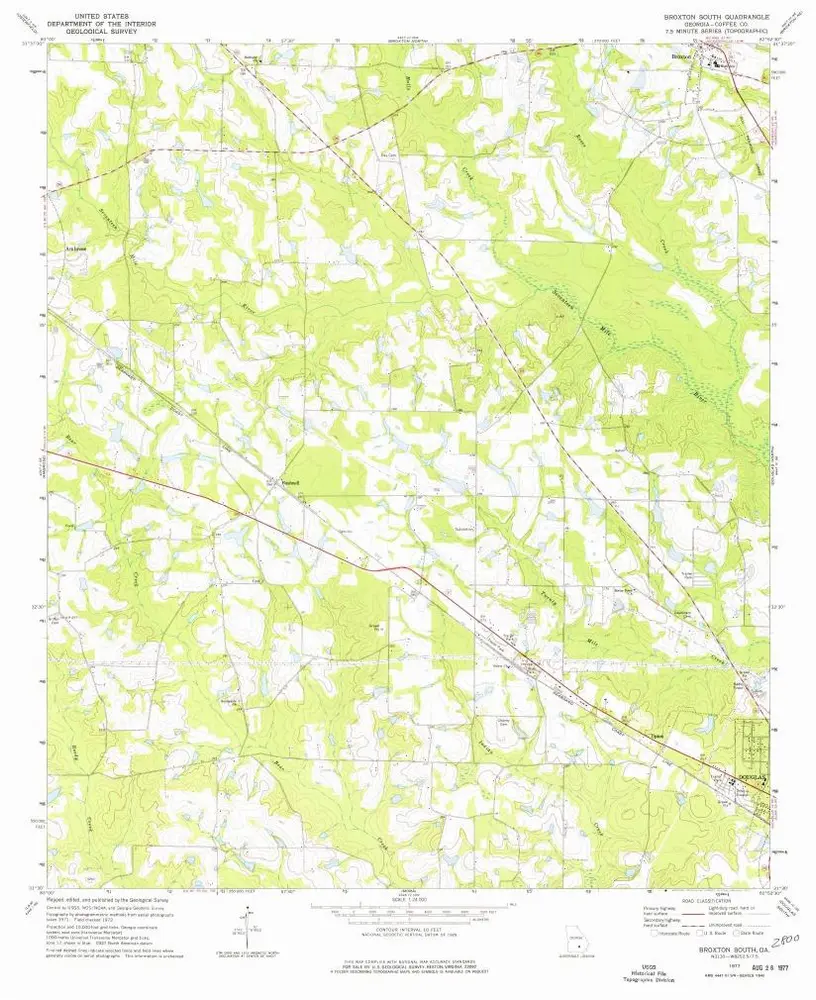
Broxton South
1977
1:24k
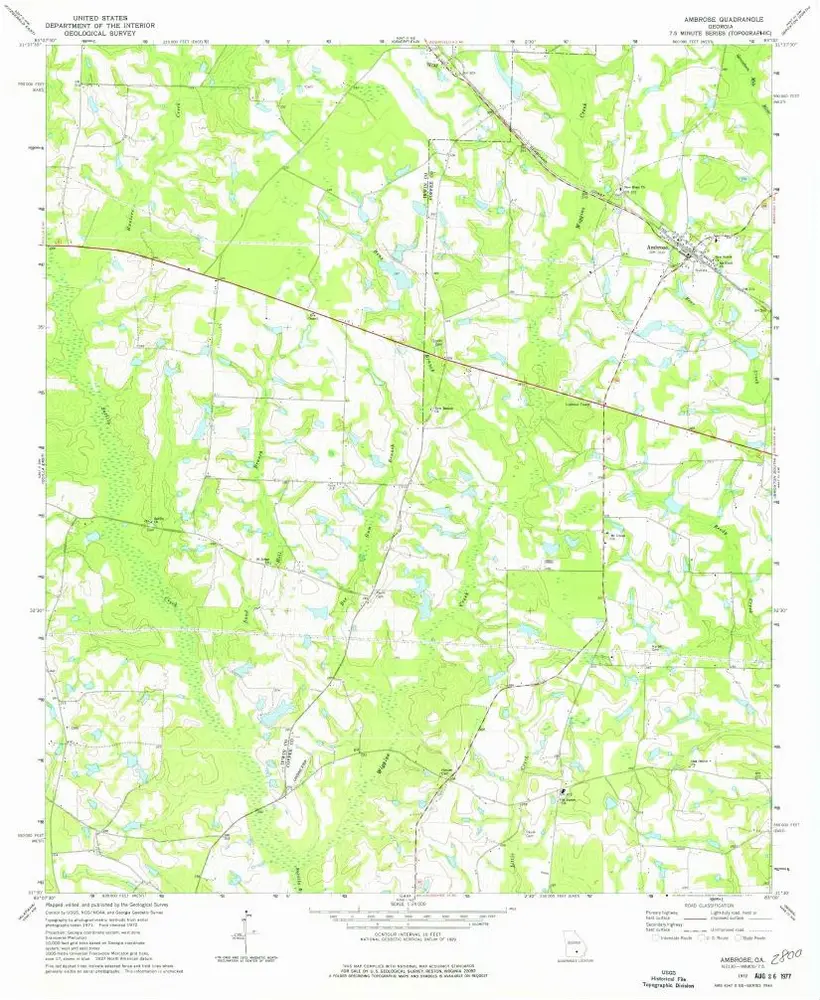
Ambrose
1972
1:24k
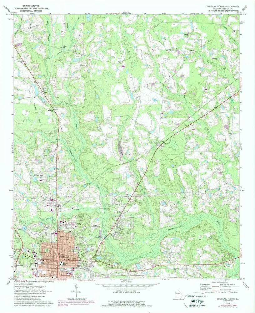
Douglas North
1971
1:24k
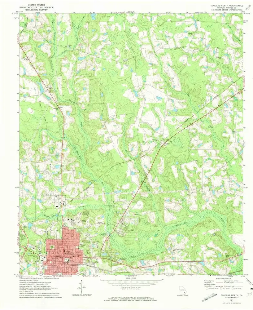
Douglas North
1971
1:24k
Nicholls
1971
1:24k
Nicholls
1971
1:24k
Geschichte