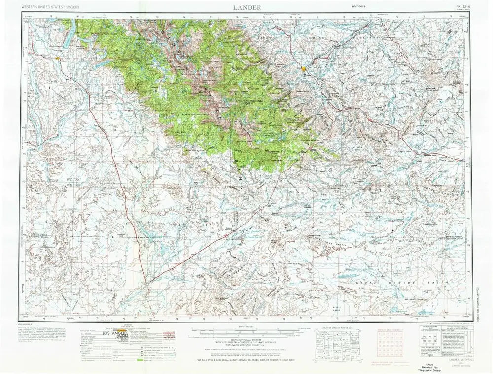
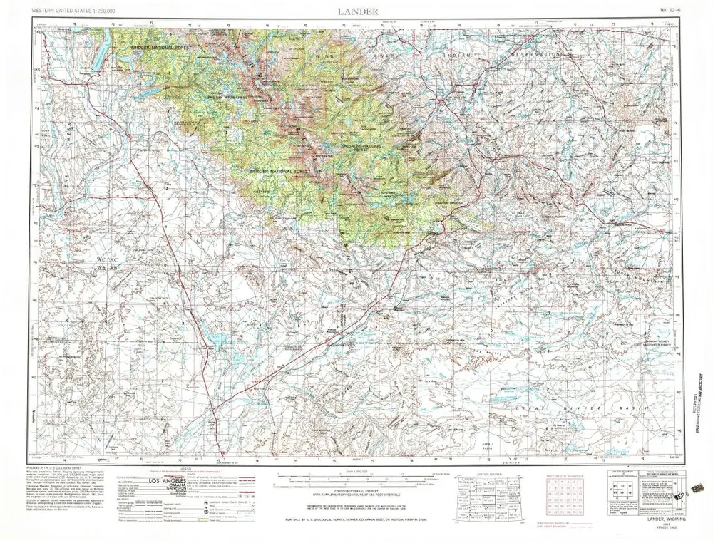
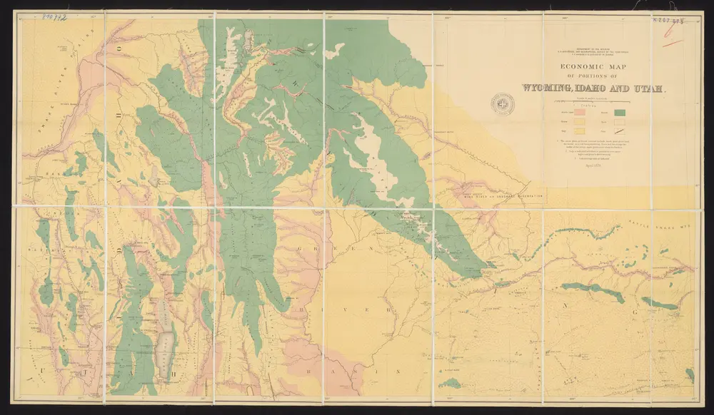
Mapa catalogado
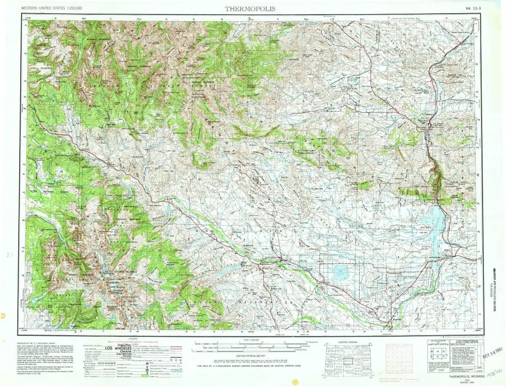
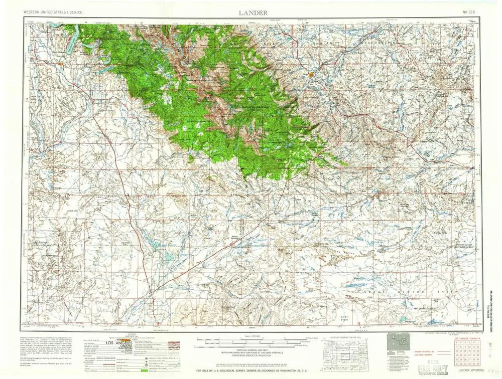
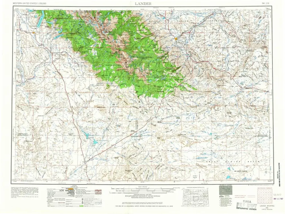
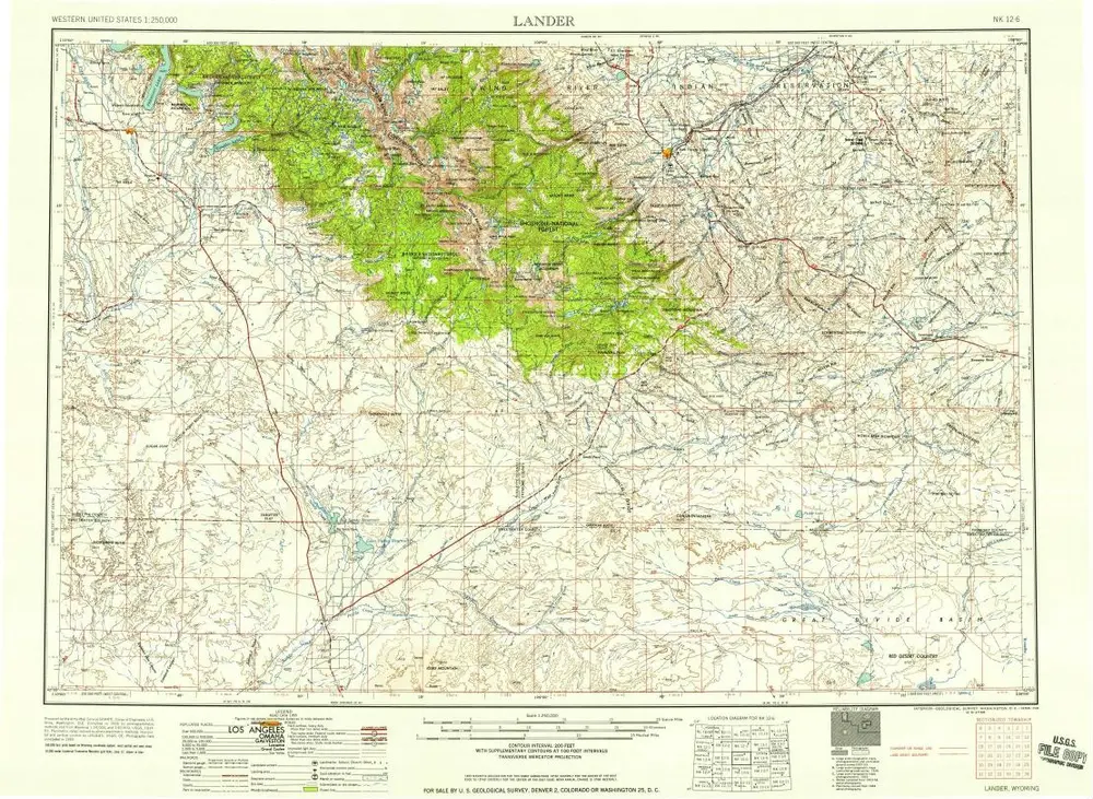
Economic map of portions of Wyoming, Idaho and Utah

Institución:ETH-Bibliothek
Título completo:Economic map of portions of Wyoming, Idaho and Utah
Año de ilustración:1879
Fecha de publicación:1879
Editorial:Department of the Interior, U.S.Geological and Geographical Survey of the Territories
Escala del mapa:1:506 700