Project
Gemeenschap
Nieuws
Mijn app
Mijn kaarten
Cataloged map
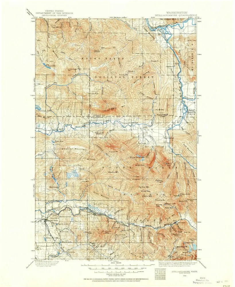
Stillaguamish
Bekijk op externe website
Bekijk gedigitaliseerd
Institution:
United States Geological Survey
Full title:
Stillaguamish
Depicted:
1899
Pubdate:
1955
Map scale:
1:125 000
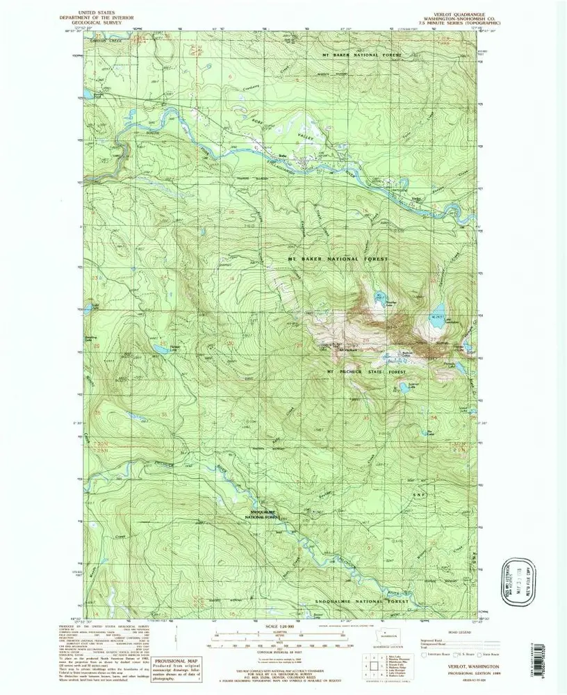
Verlot
1989
1:24k
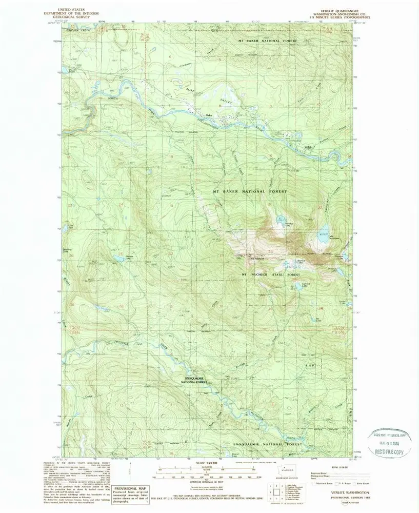
Verlot
1989
1:24k
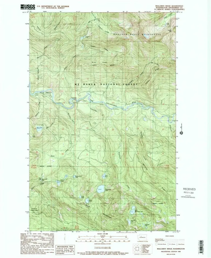
Mallardy Ridge
1989
1:24k
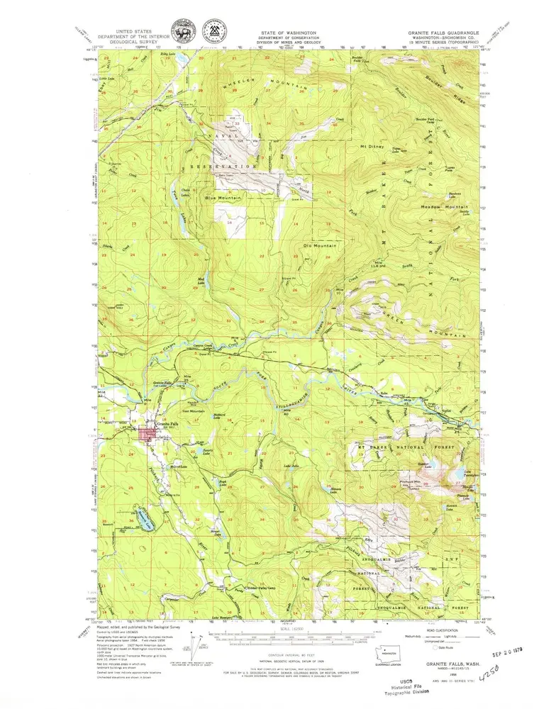
Granite Falls
1956
1:63k
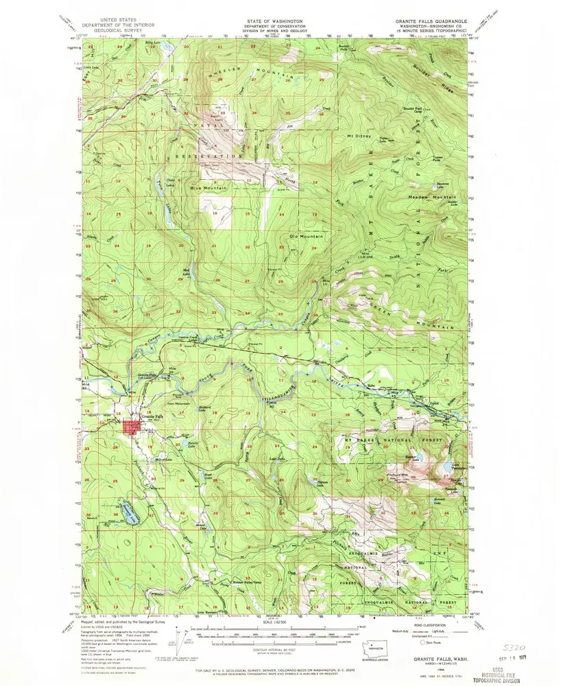
Granite Falls
1956
1:63k
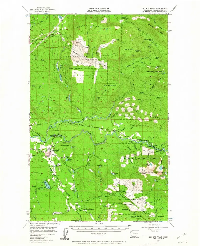
Granite Falls
1956
1:63k
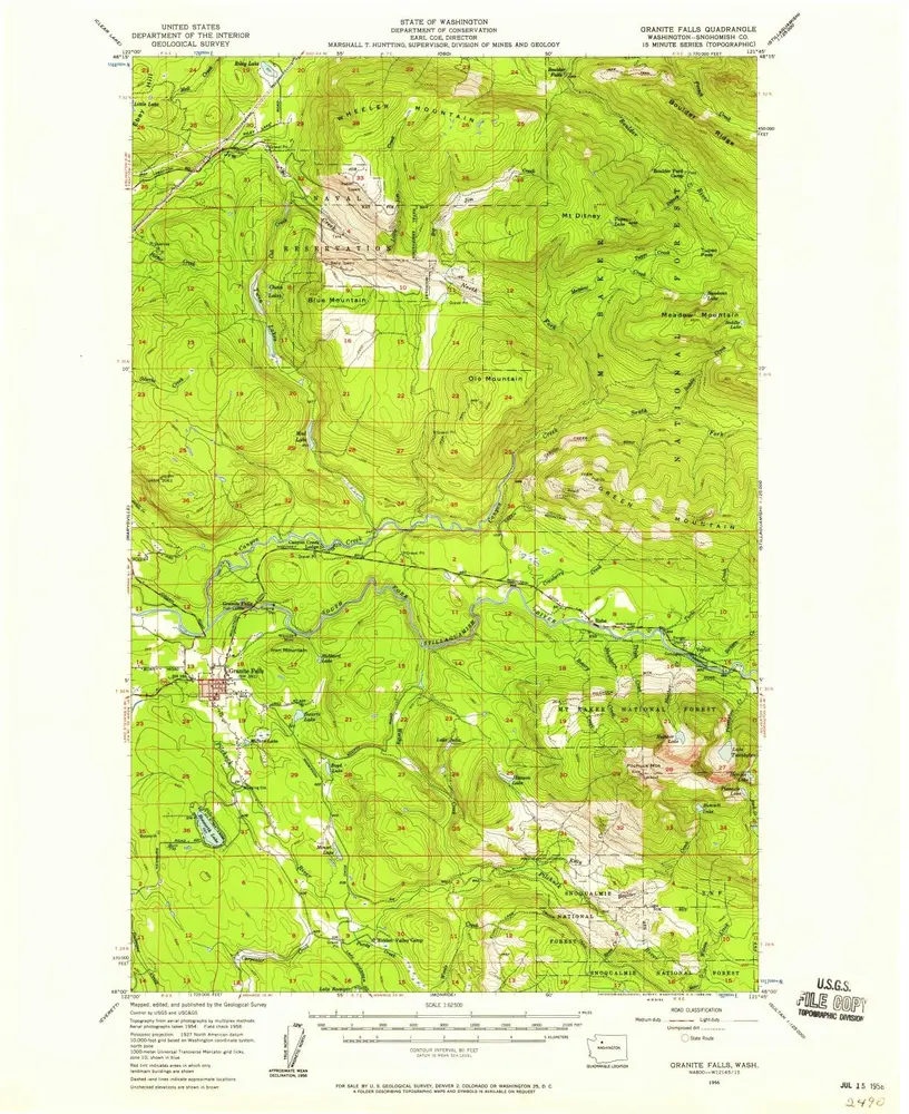
Granite Falls
1956
1:63k
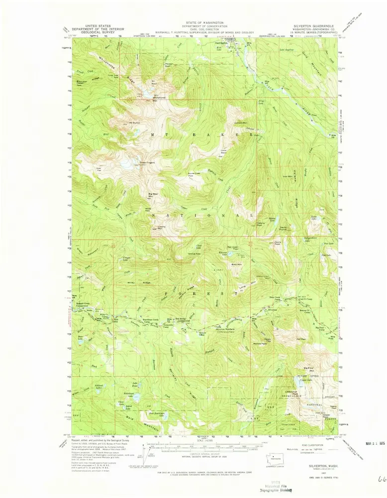
Silverton
1957
1:63k
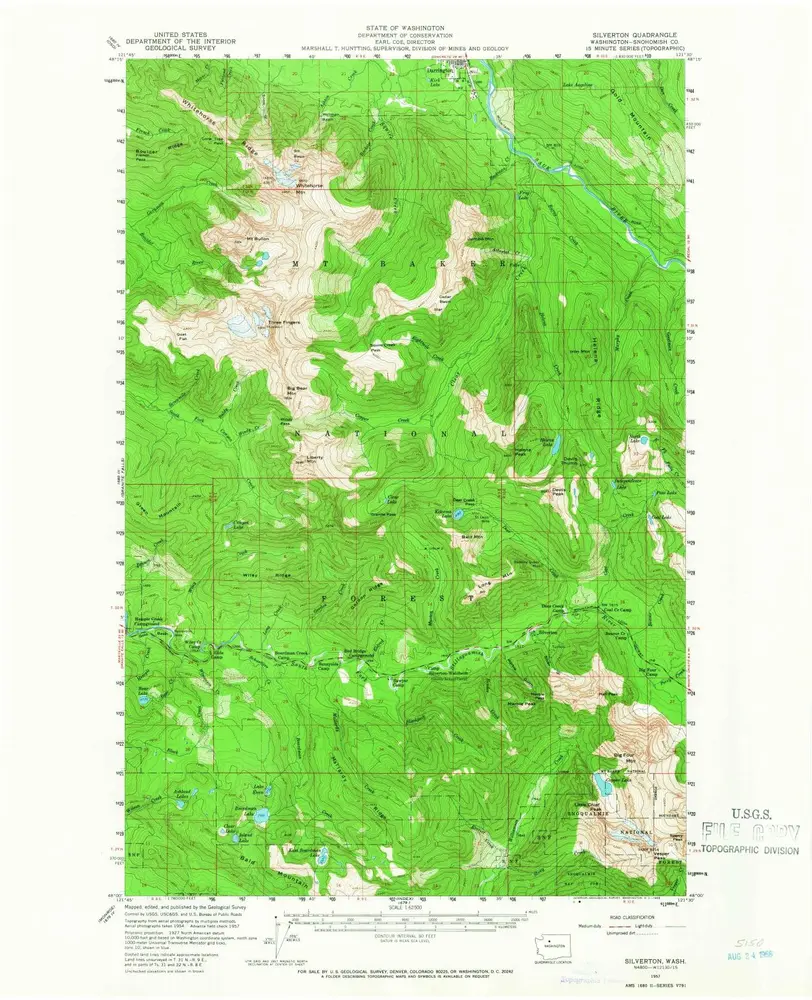
Silverton
1957
1:63k
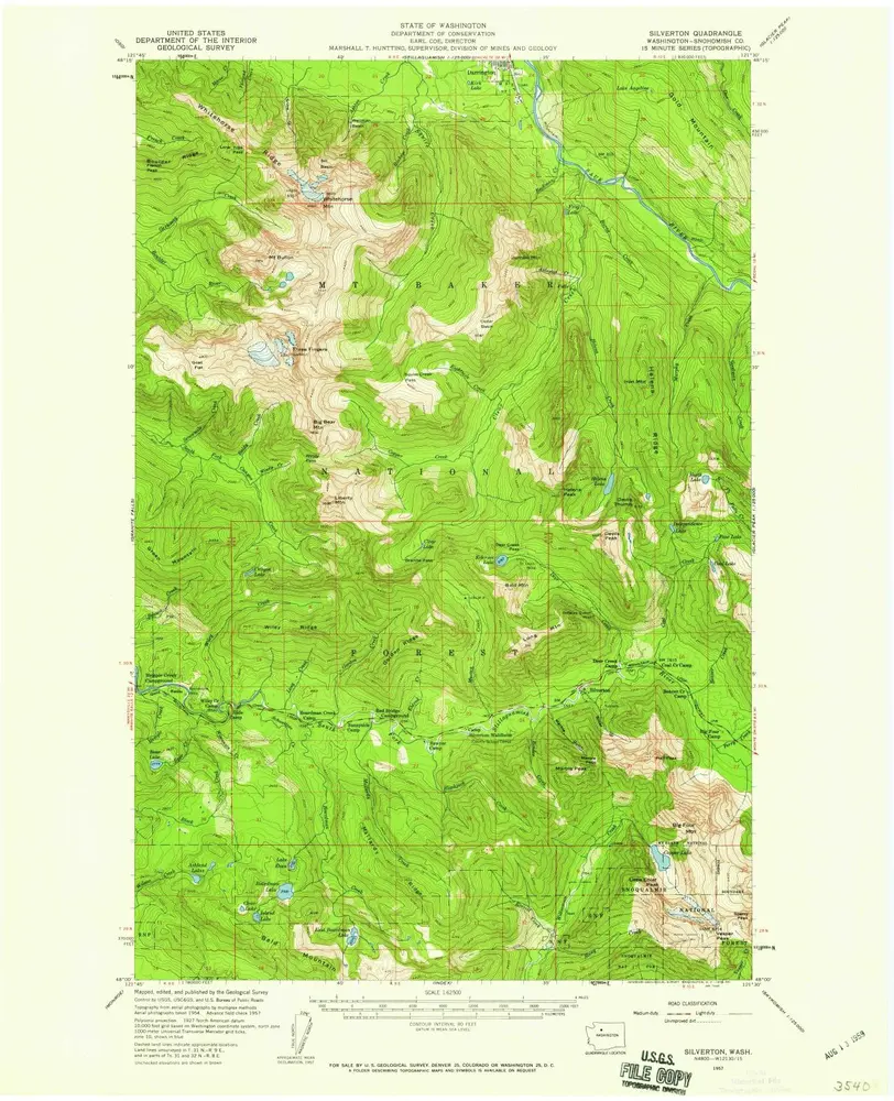
Silverton
1957
1:63k
History