1870
1893
OLIVIER, Aimé Count de Sanderval
1786
Schraembl, Franz Anton
1860
Malte-Brun, V. A.
1920
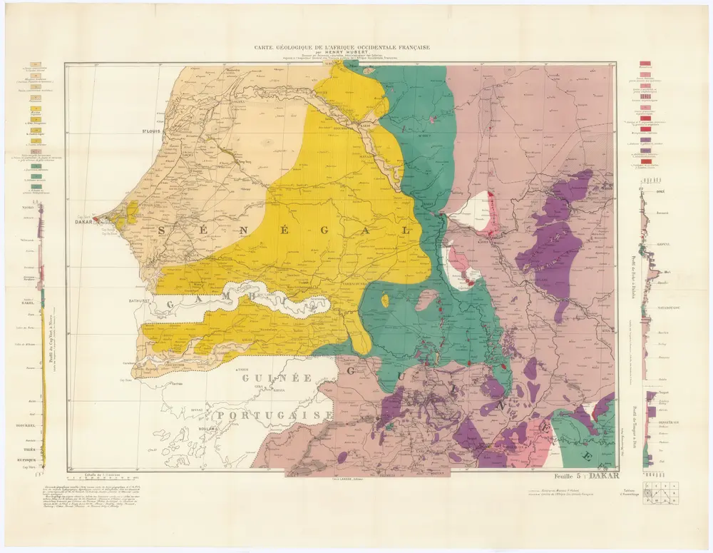
Hubert, Henry
1:1m
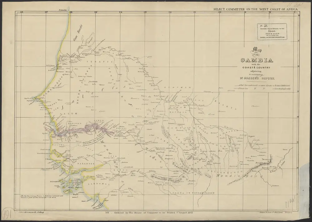
1842
John Arrowsmith, lith.
1:3m
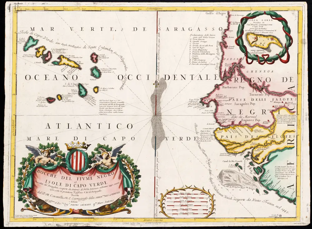
1690
1:1
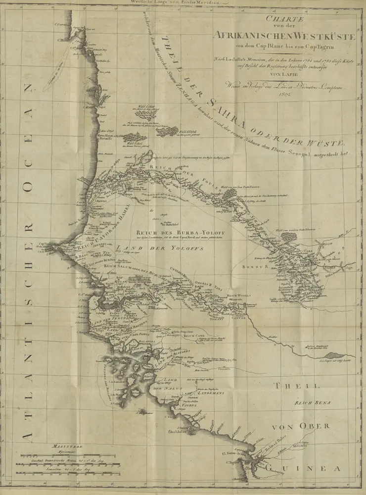
1802
LABARTHE, Pierre.
1825
GRAY, William Major