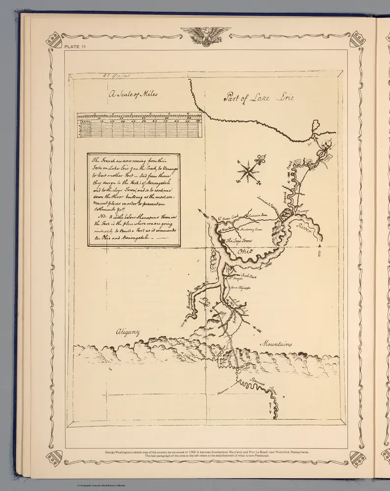
George Washington's sketch map of the county he traveresed in 1753-54 between Cumberland, Maryland, and Fort Le Boeuf, near Waterford, Pennsylvania
Identifier
0465.015
Collection
pilot5
Description
George Washington's sketch map of the county he traveresed in 1753-54 between Cumberland, Maryland, and Fort Le Boeuf, near Waterford, Pennsylvania. The last paragraph of the note on the left refers to the establishment of what is now Pittsburg.