ℹ You will be redirected to OldMapsOnline.org to finish the export.
Sign in to access WMTS endpoints.
Sign in to download GeoTIFF.
Sign in to export as IIIF.
Compare
Website
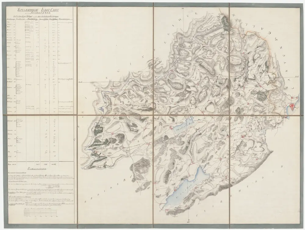
Topographische Forstkarte der Waldungen des Bezirks Uster (spätere Bezirke Uster, Pfäffikon, Hinwil)
PLAN_P_151
Maps
Mit Verzeichnis der Besitzverhältnisse und der Flächeninhalte der Waldungen in den 29 Dörfern des Bezirks. Ohne Datumsangabe.
From 1800-01-01 to 1800-12-31
125.5 × 95 cm
250