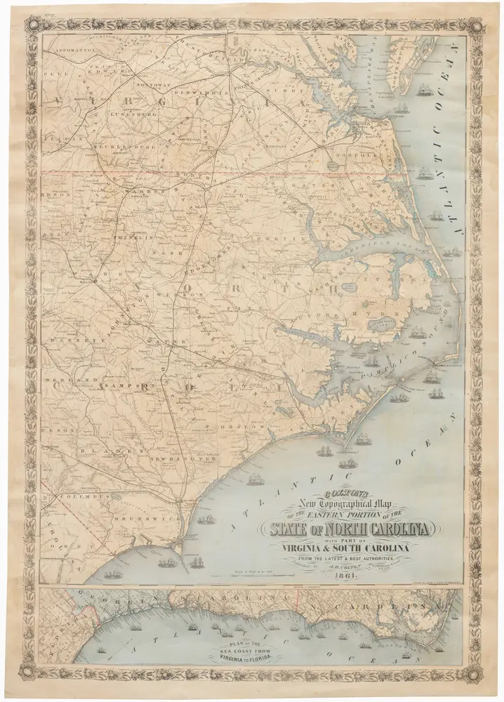
Colton’s New Topographical Map of the Eastern Portion of the State of North Carolina with Part of Virginia and South Carolina from the latest and best authorities.
Colton’s New Topographical Map of the Eastern Portion of the State of North Carolina with Part of Virginia and South Carolina from the latest and best authorities.
Identifier
NL-00654
Collection
Neatline
Description
Rare and important contemporary Civil War map of the Carolina coast Union blockade.