Sign in to access WMTS endpoints.
Sign in to download GeoTIFF.
Sign in to export as IIIF.
Compare
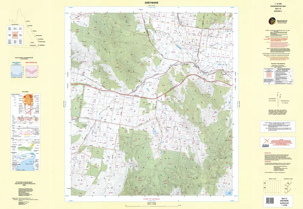
9241-13 Greymare edition 1
9241-13-greymare-ed-1-2000
Topographic Maps 1-25000 Series 1
Topographic map of Greymare at 1:25000 scale displaying graphic representations of features including relief hydrography vegetation and cultural
2000
Department of Natural Resources Mines and Energy
92.13088 × 63.3476 cm
250