Sign in to access WMTS endpoints.
Sign in to download GeoTIFF.
Sign in to export as IIIF.
Compare
Website
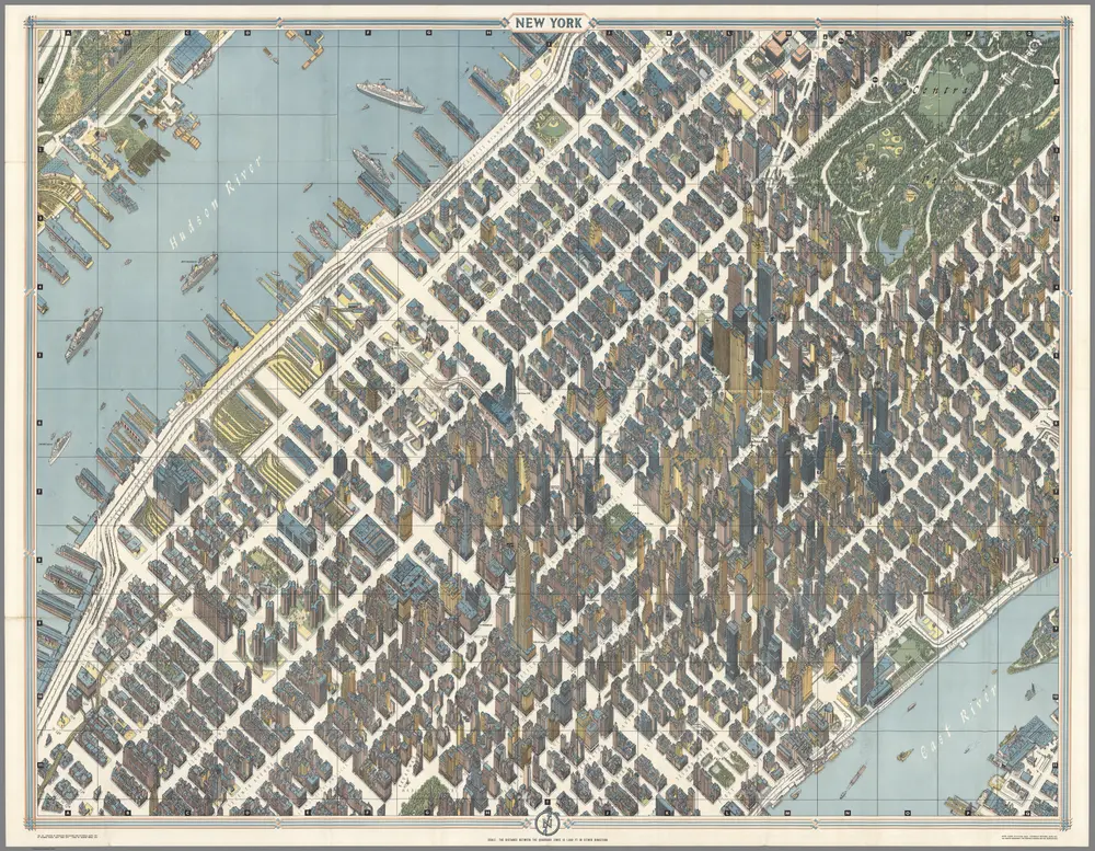
New York City Picture Map - a 3-D Map of Mid-town Manhattan.
3763.004
pilot
New York (City) Picture Map.
1963
Bollmann, Hermann (1911-1971)
Pictorial Maps, Inc.
107 × 85 cm
1 : 5000