Sign in to access WMTS endpoints.
Sign in to download GeoTIFF.
Sign in to export as IIIF.
Compare
Website
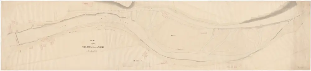
Enge, Aussersihl, Wiedikon: Sihl vom Wehr oberhalb des Sihlhölzli bis zur Sihlbrücke; Situationsplan (Sihl-Gebiet Nr. 2)
PLAN_L_1534
Maps
From 1846-09-01 to 1846-09-30
Aufnahme: Frei, A., Ingenieur
280.5 × 63.3 cm
1 : 500
200