Sign in to access WMTS endpoints.
Sign in to download GeoTIFF.
Sign in to export as IIIF.
Compare
Website
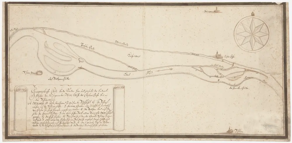
Weiningen bis Dietikon: Limmat von oberhalb des Kloster Fahr bis Glanzenberg, mit Mühlekanal Fahr; Situationsplan
PLAN_L_1264
Maps
Ohne Datumsangabe.
From 1701-01-01 to 1800-12-31
65.8 × 32.2 cm
300