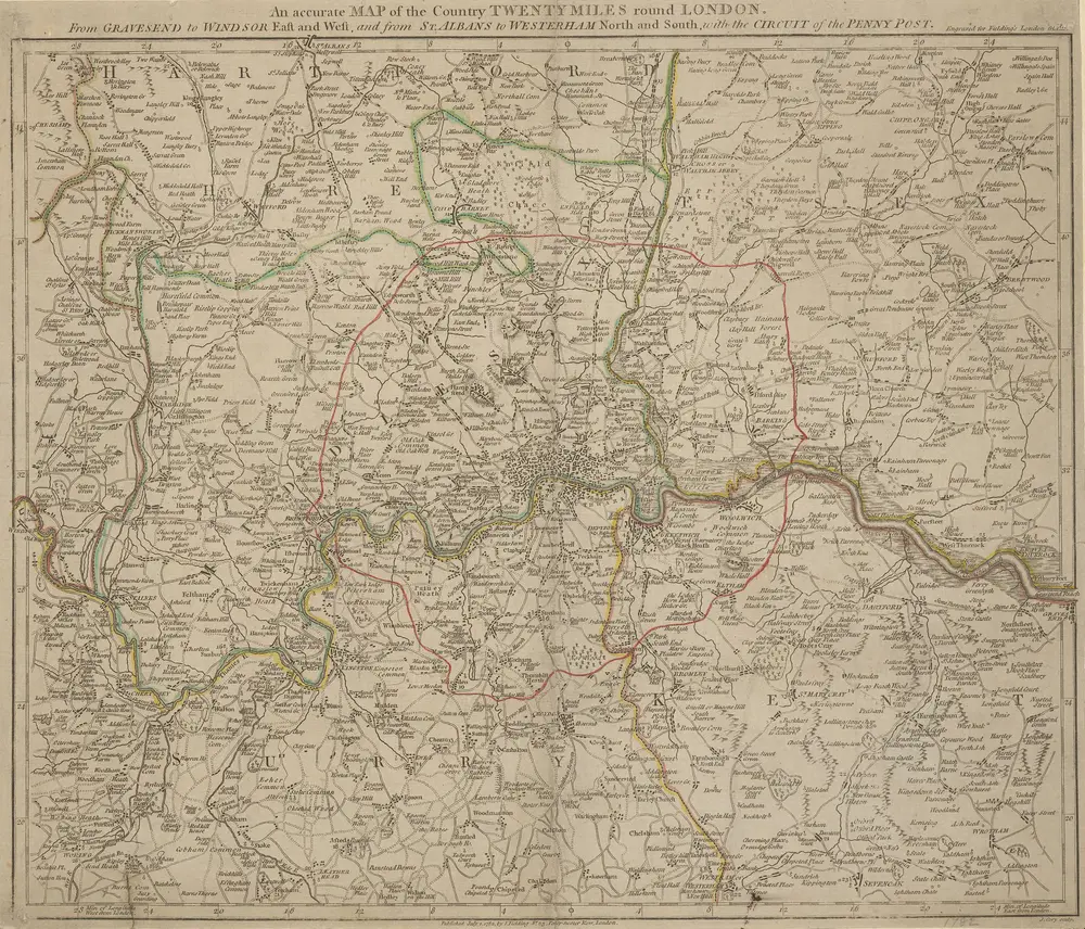
An accurate MAP of the Country TWENTY MILES round LONDON. From GRAVESEND to WINDSOR East and West, and from ST. ALBANS to WESTERHAM North and South with the CIRCUIT of the PENNY POST
ℹ You will be redirected to OldMapsOnline.org to finish the export.