Sign in to access WMTS endpoints.
Sign in to download GeoTIFF.
Sign in to export as IIIF.
Compare
Website
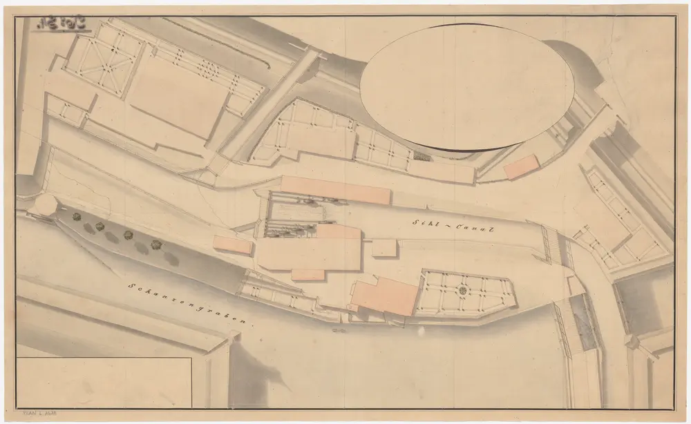
Enge: Sihlkanal vom Wasserturm bis zur Brücke über den Schanzengraben, mit Mühle Vögeli; Situationsplan
PLAN_L_1618
Maps
Ohne Datumsangabe.
From 1815-01-01 to 1815-12-31
57 × 34.8 cm
1 : 345
300