ℹ You will be redirected to OldMapsOnline.org to finish the export.
Sign in to access WMTS endpoints.
Sign in to download GeoTIFF.
Sign in to export as IIIF.
Compare
Website
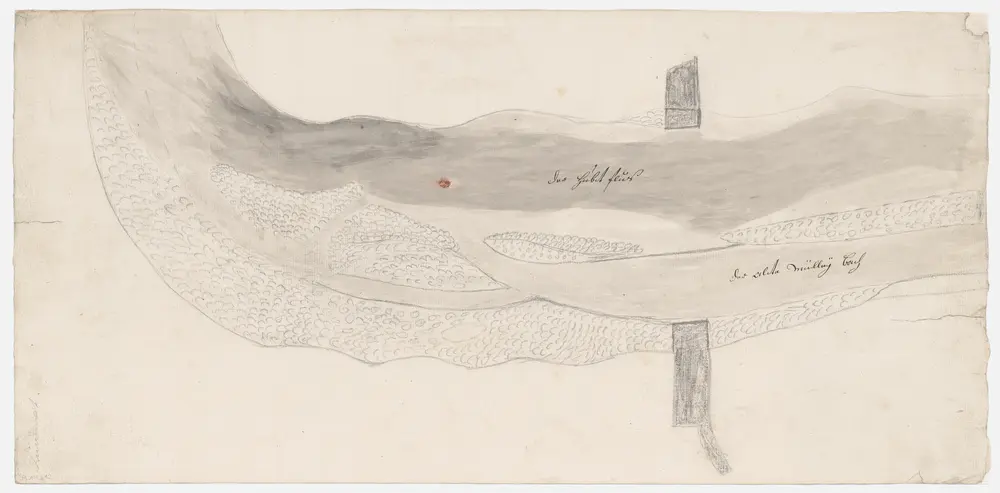
Wettingen AG: Teil der Limmat oberhalb der Wettinger Brücke, wo das Kloster für seine Mühle einen Kanal beanspruchte; Grundriss
PLAN_L_12
Maps
Ohne Datumsangabe.
From 1787-01-01 to 1787-12-31
55 × 26.6 cm
300