ℹ You will be redirected to OldMapsOnline.org to finish the export.
Sign in to access WMTS endpoints.
Sign in to download GeoTIFF.
Sign in to export as IIIF.
Compare
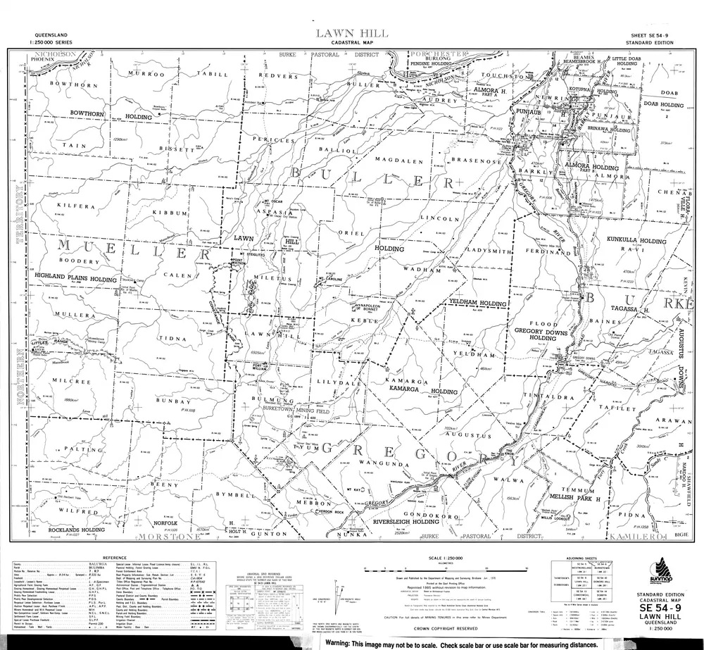
SE54-9 Lawn Hill
cad-map-250000-se54-9-lawn-hill-1978
Cadastral Maps 1-250 000 Series
Cadastral map of 1:250000 SE54-9 Lawn Hill displaying real property information; major road names and Administrative Areas including Parish and County
1978
Department of Resources
69.38 × 64.08 cm
250