ℹ You will be redirected to OldMapsOnline.org to finish the export.
Sign in to access WMTS endpoints.
Sign in to download GeoTIFF.
Sign in to export as IIIF.
Compare
Website
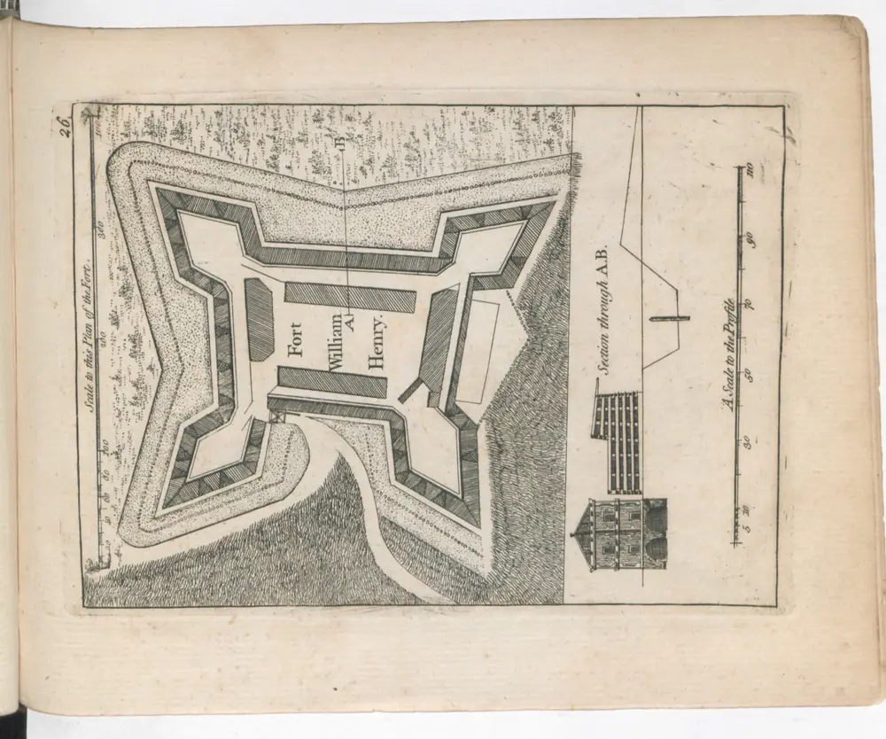
A SET of PLANS and FORTS IN AMERICA Reduced from Actual Surveys. 1765. /
118uau22u028
ktop2
1 atlas containing 31 maps (some folded) illustrated title page index
[1765.]
Rocque, Mary Ann
Mary Ann Rocque