ℹ You will be redirected to OldMapsOnline.org to finish the export.
Sign in to access WMTS endpoints.
Sign in to download GeoTIFF.
Sign in to export as IIIF.
Compare
Website
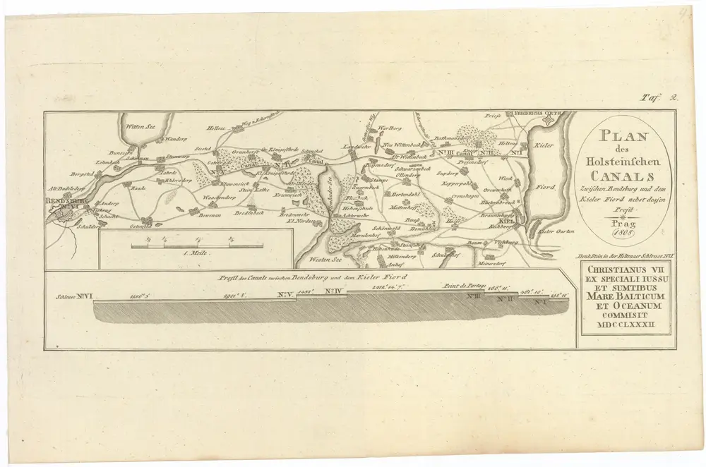
PLAN des Holsteinschen CANALS Zwischen Rendsburg und dem Kieler Fiord nebst dessen Profil
1115863
CUNI
Kiel (Německo)
1808
1 : 120000