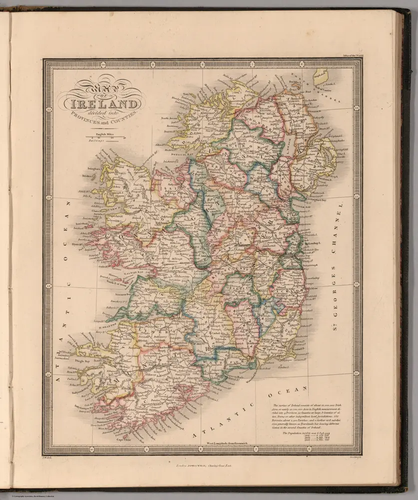
Map of Ireland Divided into Provinces and Counties
Identifier
2225.014
Collection
missinglocation
Description
Map of Ireland Divided into Provinces and Counties. J.W. del. (engraved by) Stockley, Sc. London, James Wyld, Charing Cross East. (to accompany) An Atlas of the World, Comprehending Separate Maps of its various Countries, Constructed & drawn from the latest Astronomical & Geographical Observations. By James Wyld, Geographer to Her Majesty and H. Late R.H. Prince Albert. London. Published by James Wyld (Successor to Mr. Faden) Charing Cross East. 1864.