ℹ You will be redirected to OldMapsOnline.org to finish the export.
Sign in to access WMTS endpoints.
Sign in to download GeoTIFF.
Sign in to export as IIIF.
Compare
Website
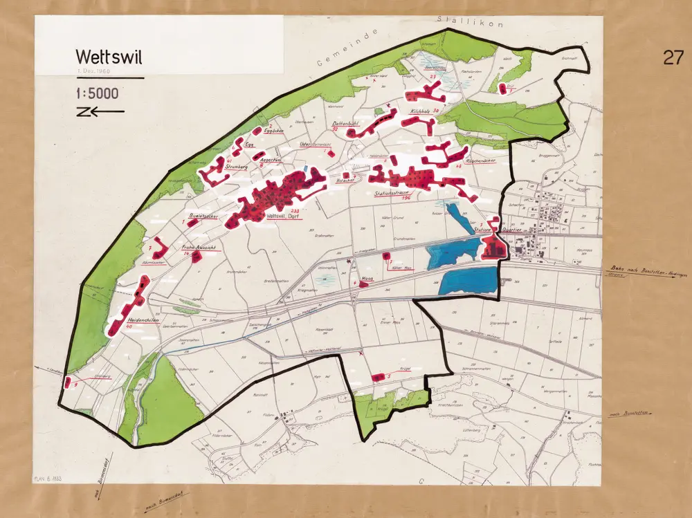
Wettswil am Albis (damals Wettswil): Definition der Siedlungen für die eidgenössische Volkszählung am 01.12.1960; Siedlungskarte Nr. 27
PLAN_B_1833
Maps
Auf Ausgangskarte angebrachte farbige Einzeichnungen und Eintragungen. Ohne Erstellungsdatumsangabe.
From 1960-01-01 to 1960-12-31
84 × 60 cm
1 : 5000
300