Sign in to access WMTS endpoints.
Sign in to download GeoTIFF.
Sign in to export as IIIF.
Compare
Website
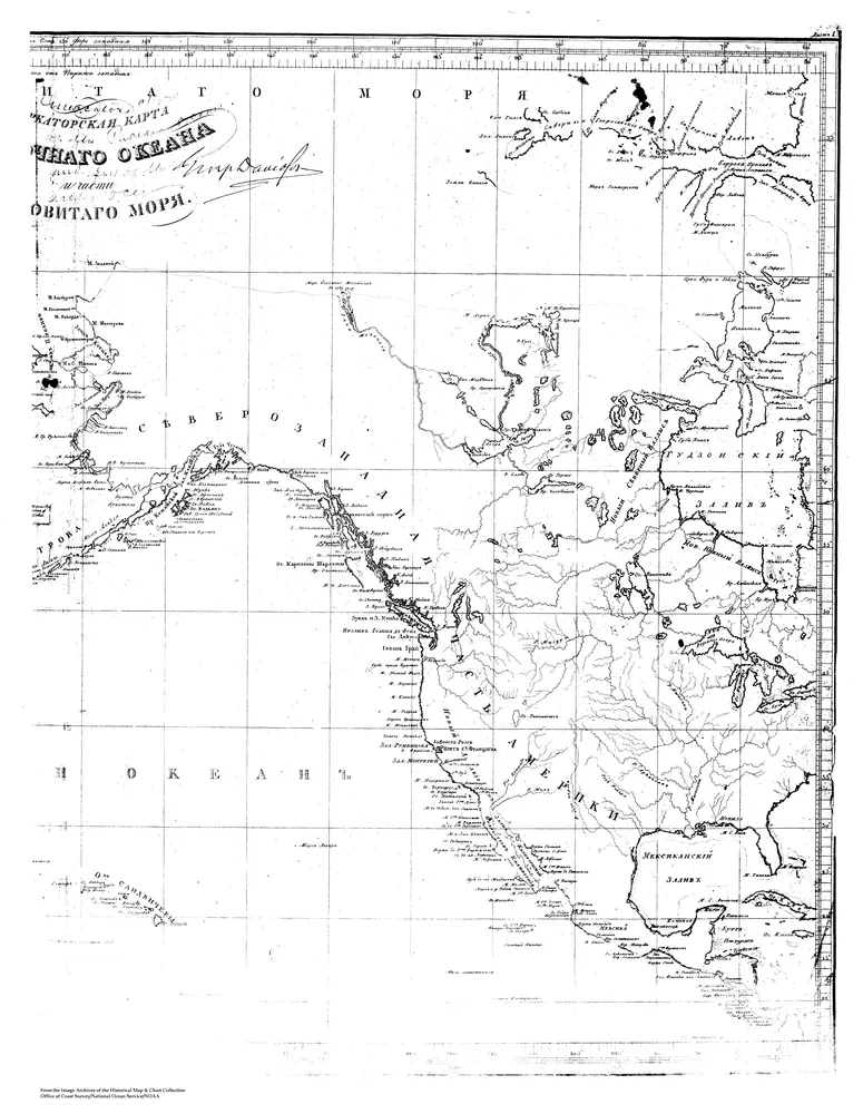
Sarychev Atlas, Sheet 1, 2 of 2, Mercator's Charts of the Pacific Ocean and Part of the Arctic Ocean
MSSARY1B
noaa
1826
Marine Topography
69 × 56 cm